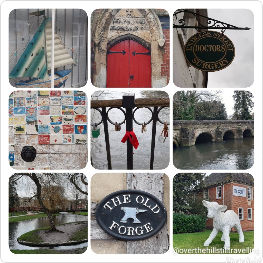
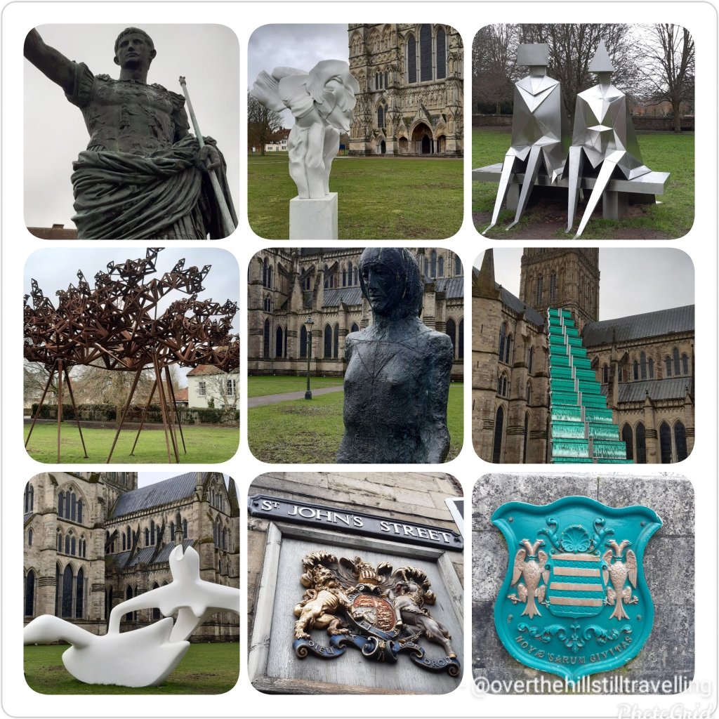
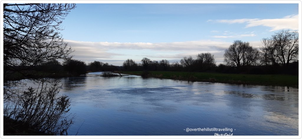
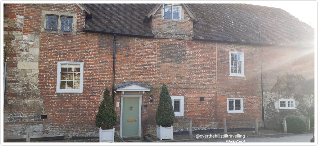
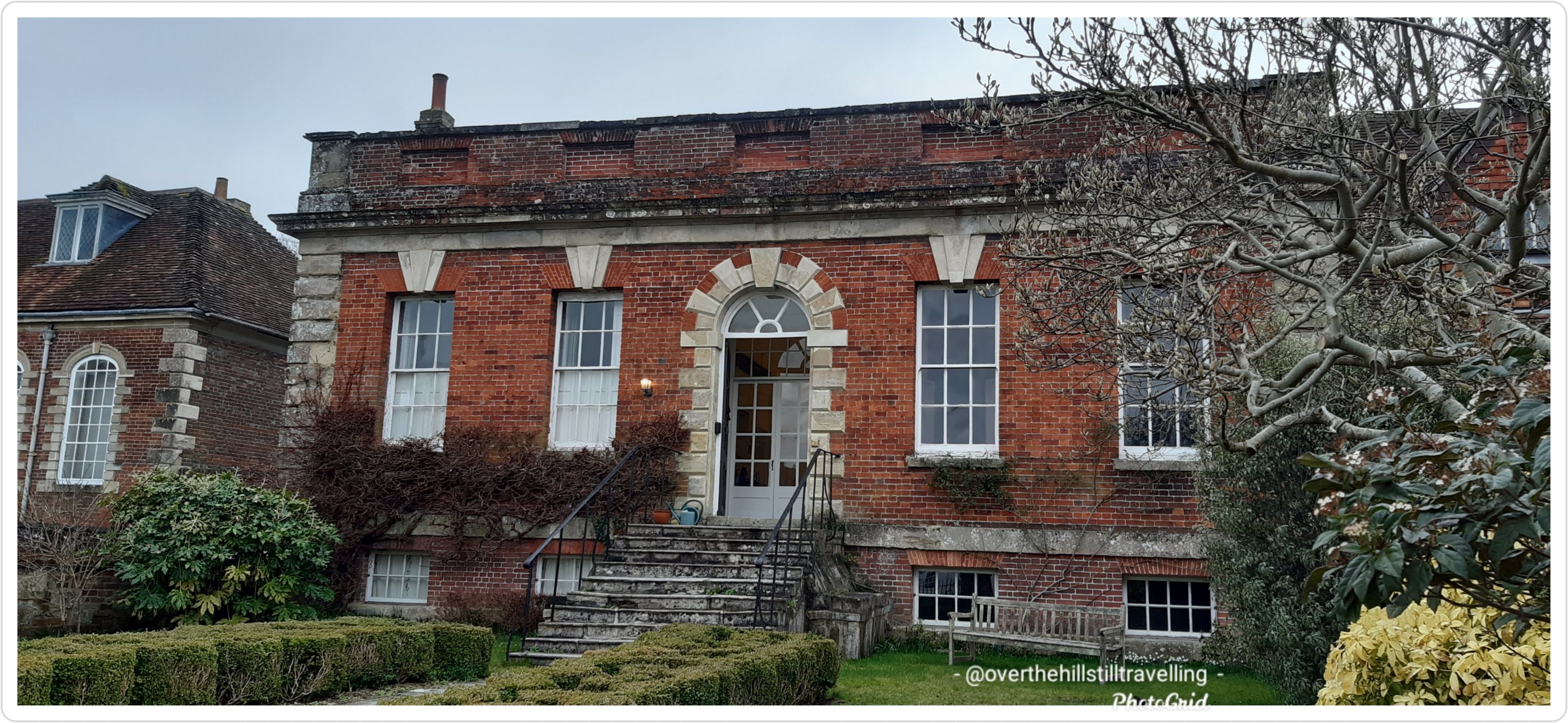
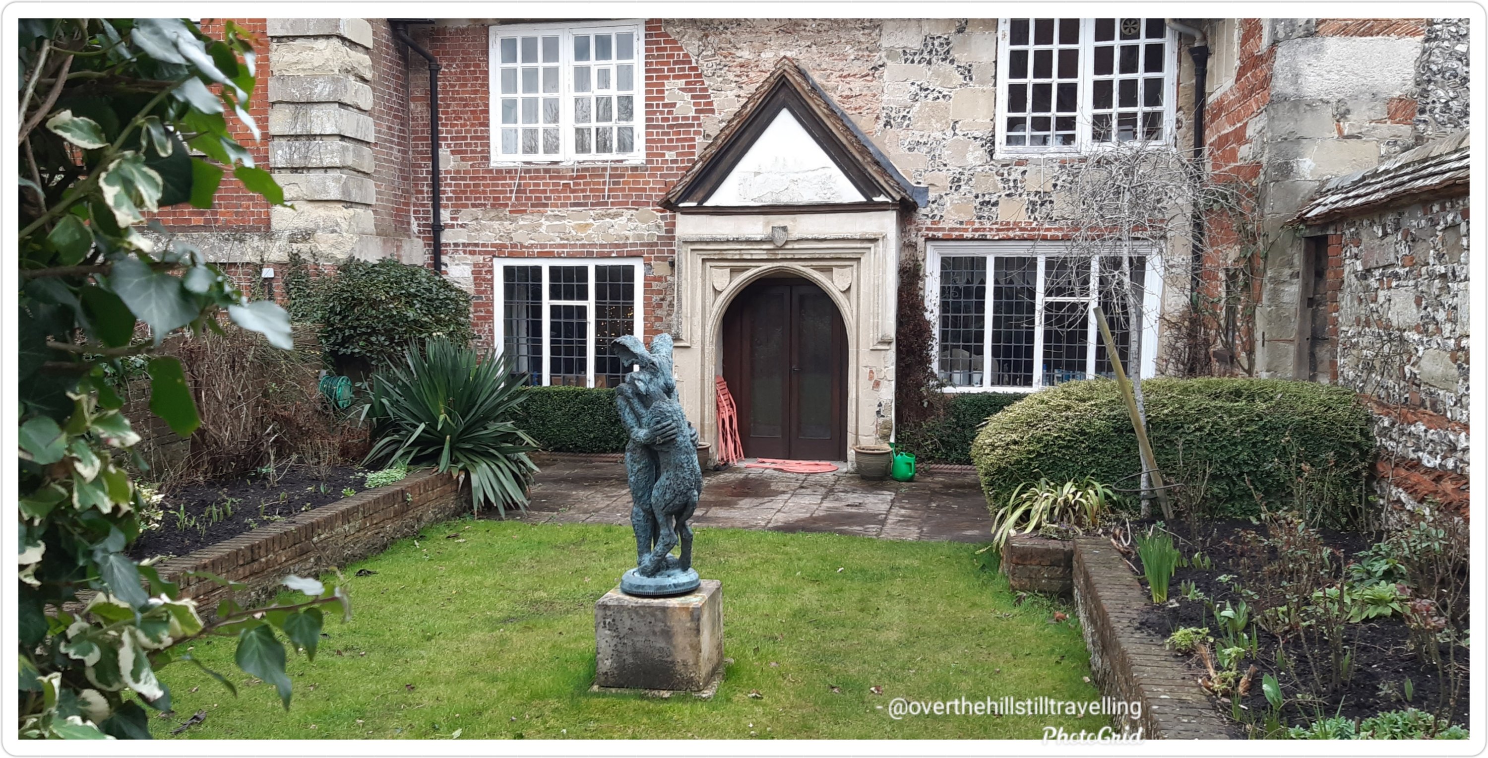
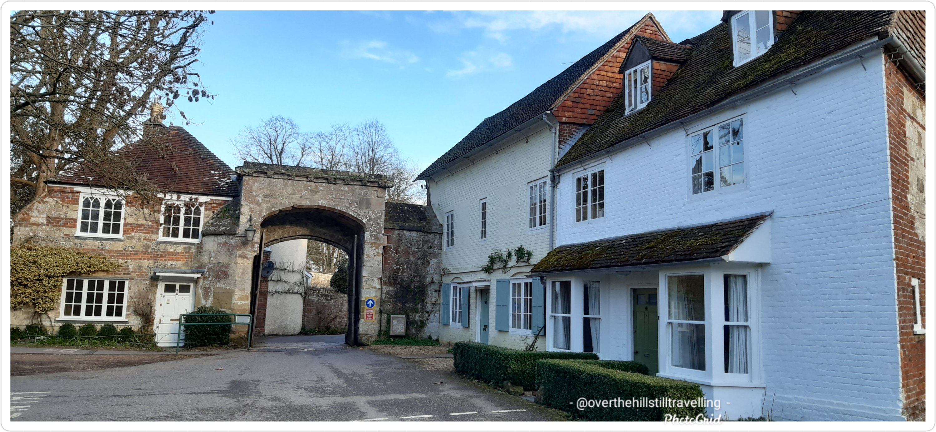
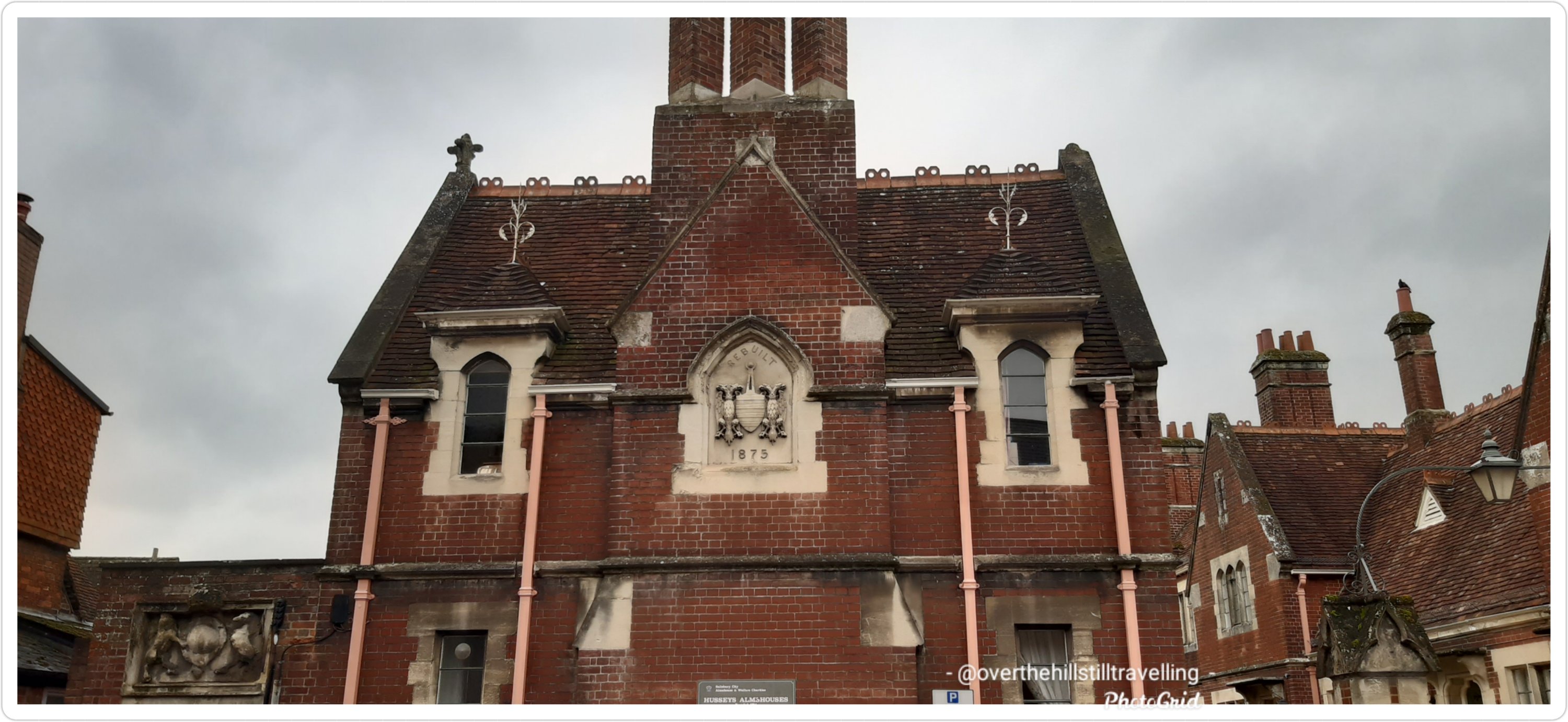
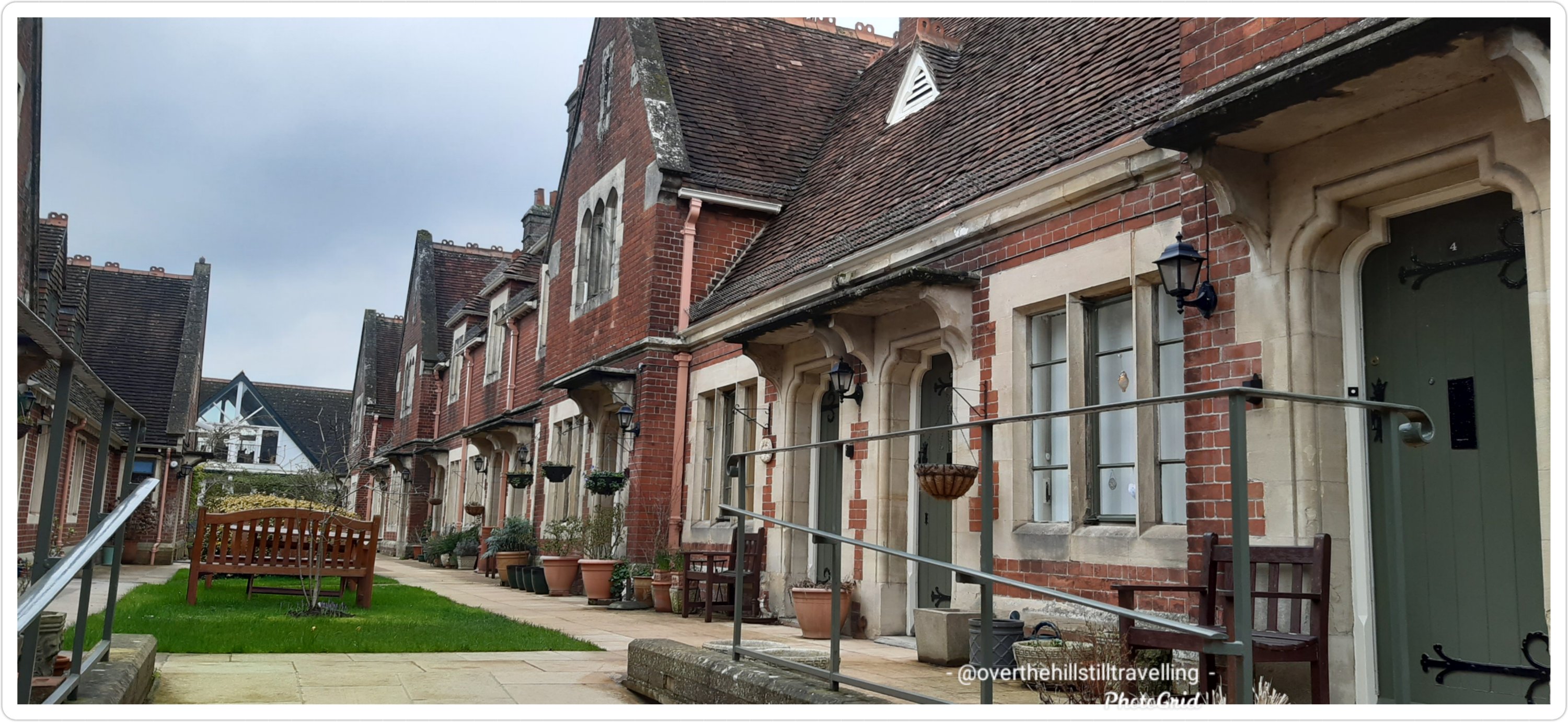
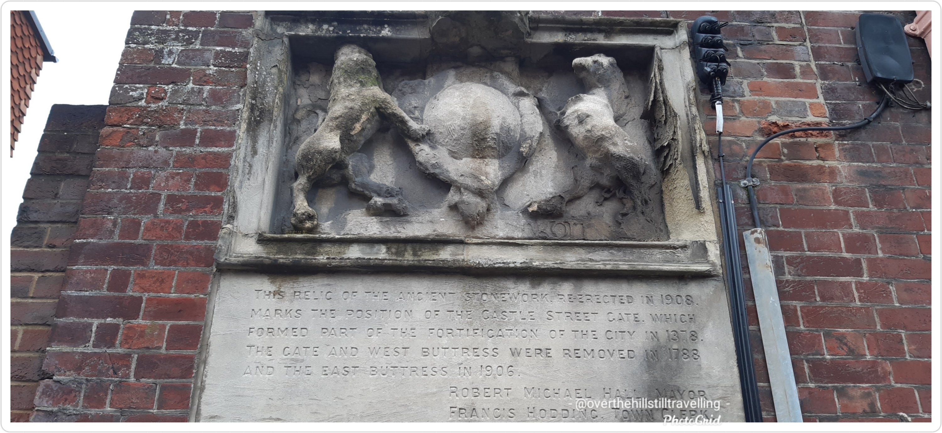
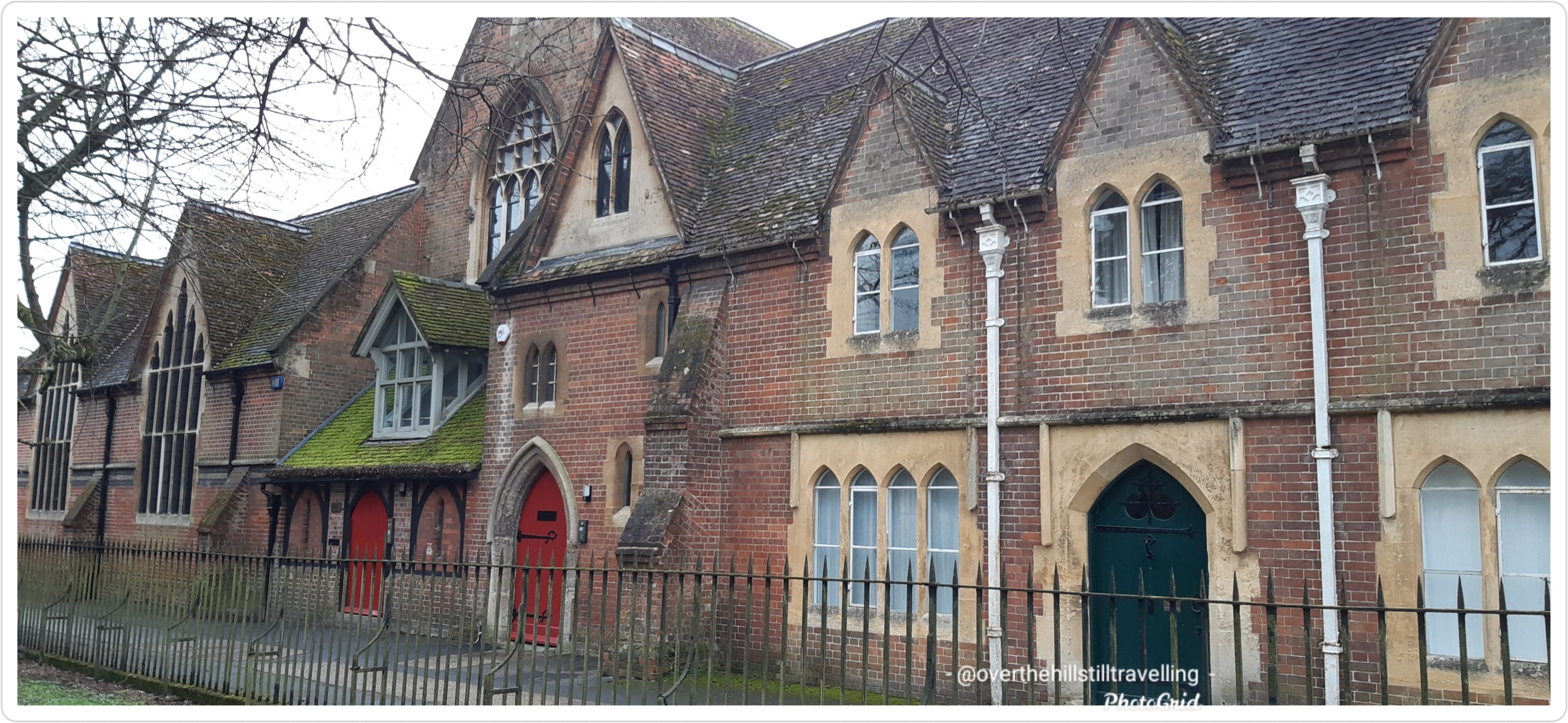
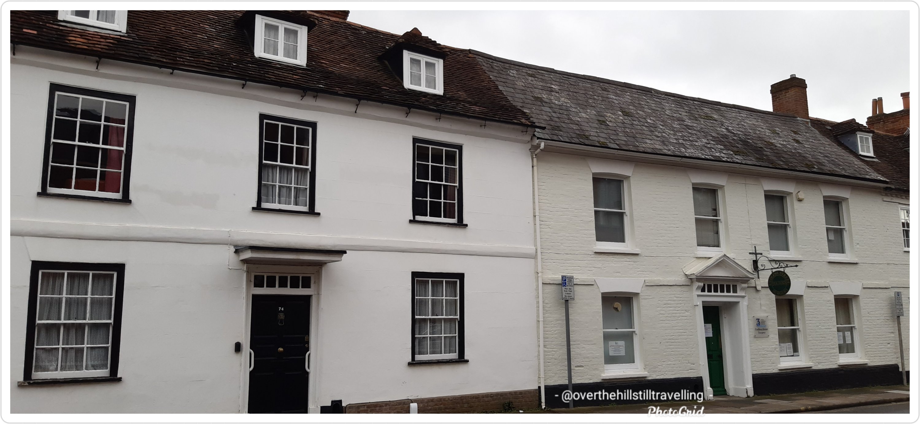
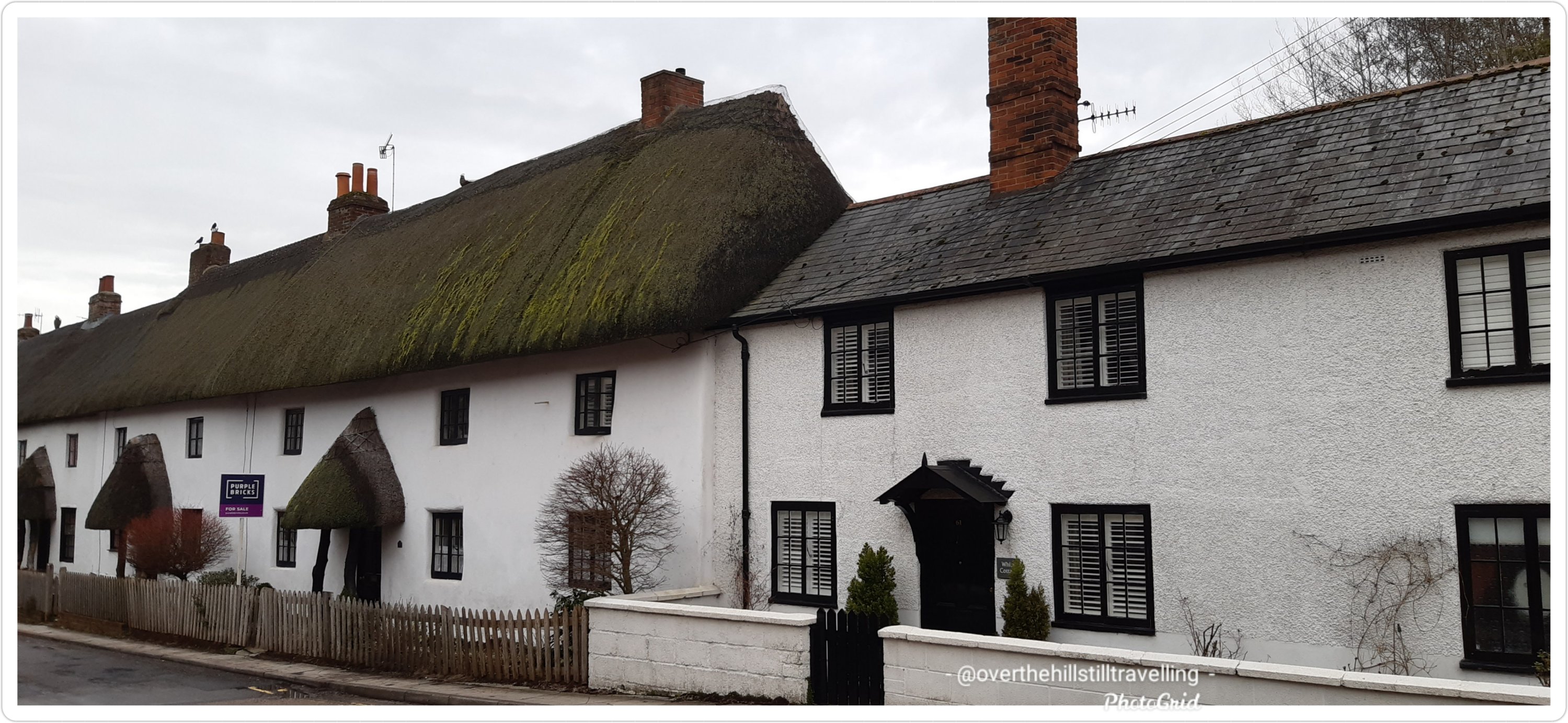
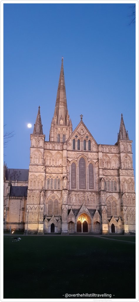
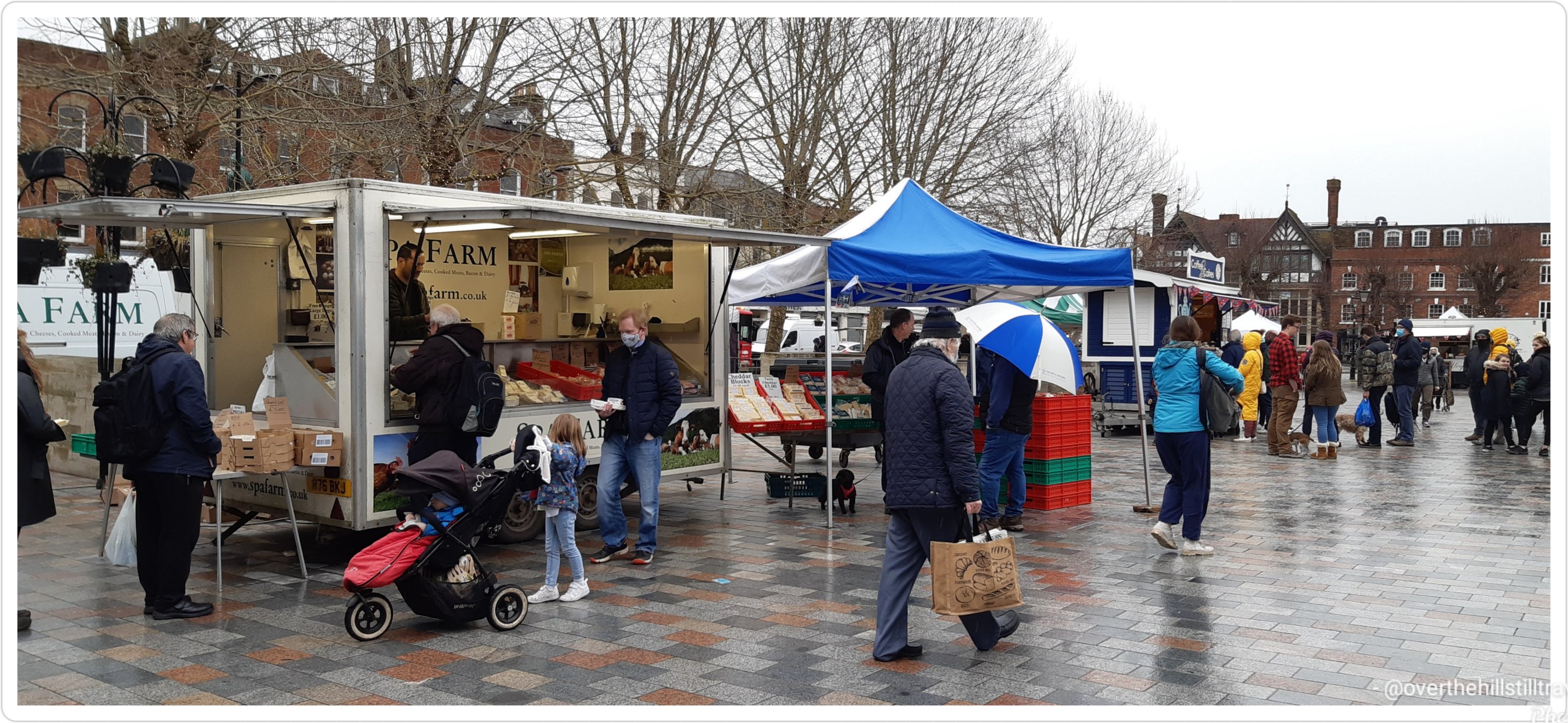
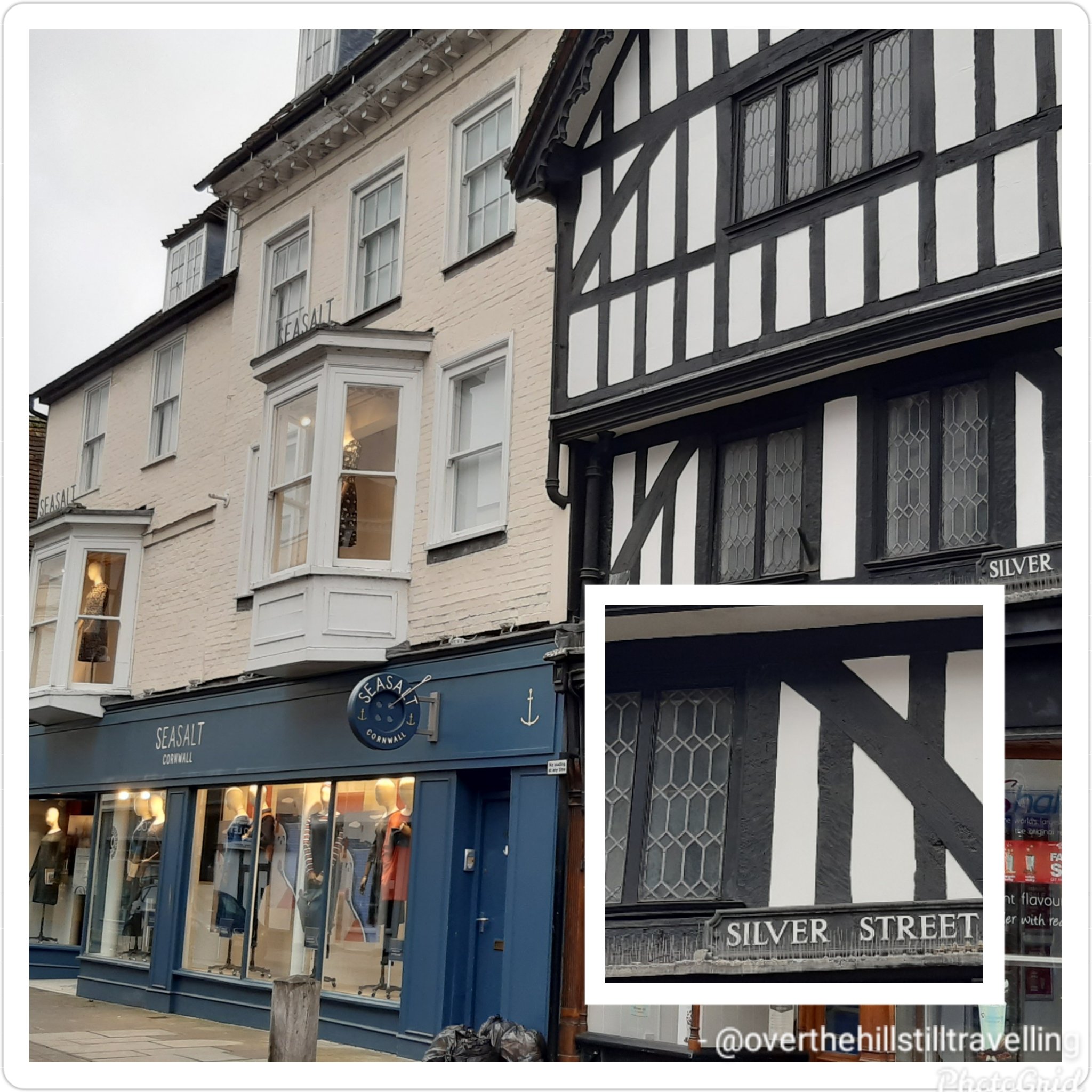
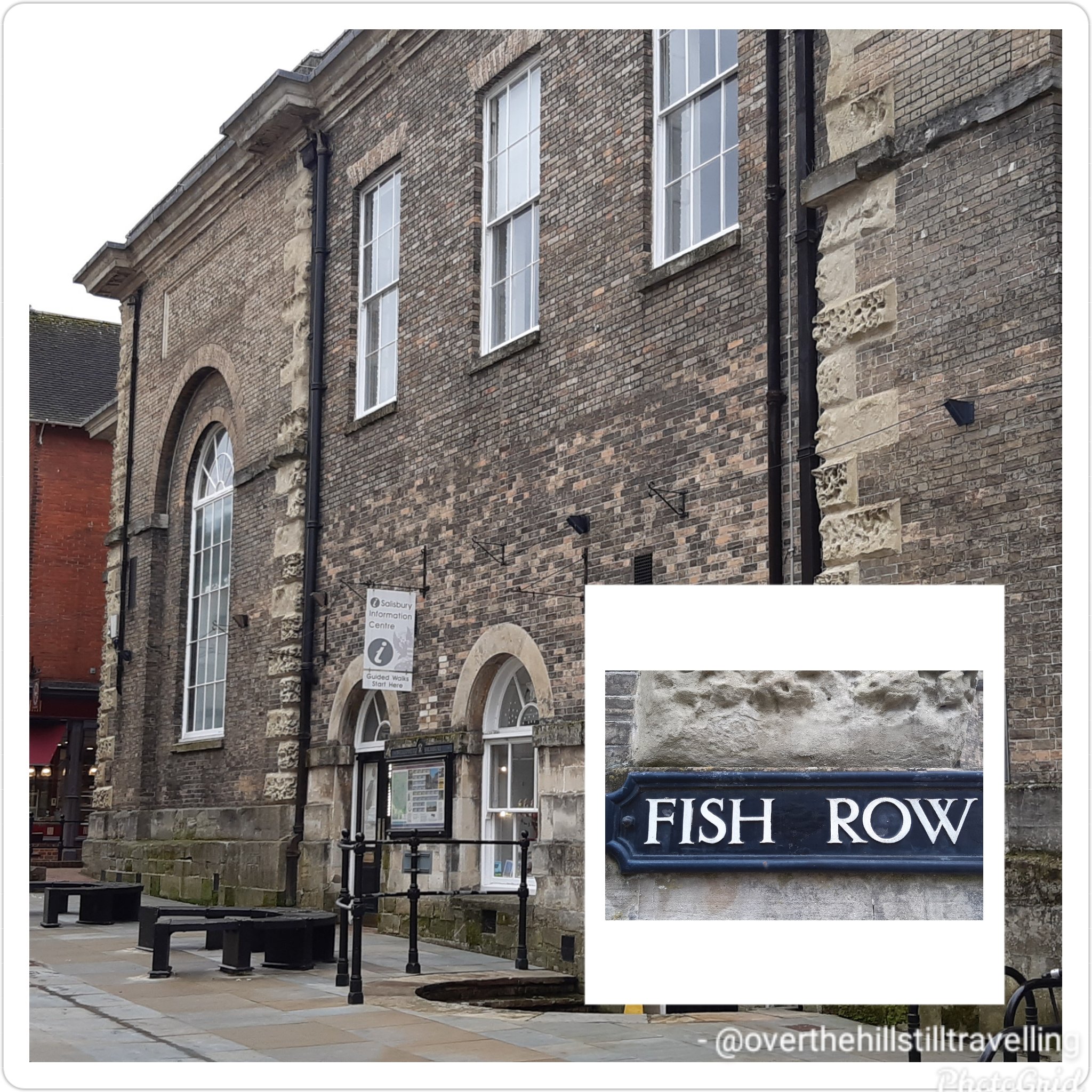
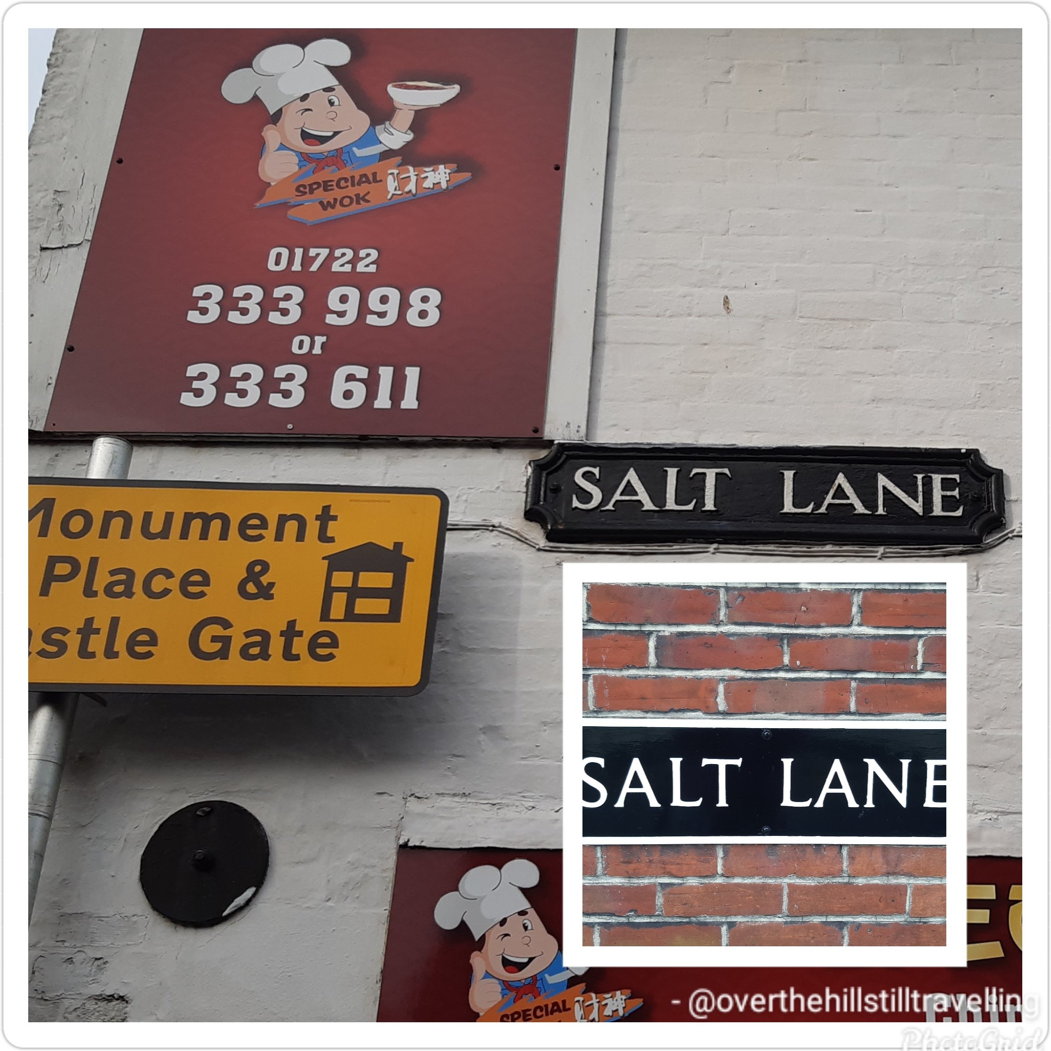
Feeds:
Posts
Comments

Archive for the ‘Historical’ Category

Reading through this information, I’m left thinking that some people need their heads read!! I know I push myself and I’ve done some crazy shit when on my long-distance walks, but I would not want to do any of this. Thank the lord it’s a virtual climb and I don’t ACTUALLY have to do this 😁😁😁😄 instead I was whizzing around Salisbury

Exploring Salisbury – far more my style ☺

Starting out with an easy hike, I nearly missed the iconic yellow and red sign against a huge boulder simply stating “Way to Everest B.C.” with a big red arrow beneath the words pointing towards base camp. At least I was certain I was on the right path.

After what felt like hours of trekking, the treacherous Khumbu Icefall loomed into view spilling its way down the valley between Everest and Nuptse. Khumbu Icefall sits at the head of Khumbu Glacier, a constantly moving sheet of compacted ice. As the glacier makes its way down the valley it fractures, creating deep crevasses that are always in motion and large towers of ice called seracs that are known to suddenly collapse.
Making the final ascent I arrived at the cairn adorned in prayer flags with its rudimentary sign signalling that I have arrived at Everest Base Camp (17,477ft/5,327m). It was located on a scree-covered section (loose broken stones) at the foot of Khumbu Icefall. I settled into one of the yellow tents and mentally prepared for the high altitude acclimatisation process I would begin to endure.

As sea-level dwellers our bodies are not designed to live at high altitude but we are certainly capable of adapting to it through appropriate acclimatisation. The higher we go, our bodies go through physiological changes by producing more red blood cells in order to carry more oxygen to our muscles and organs whilst combating the thinner air.

The acclimatisation process on Everest is lengthy taking up to a month and done by exposing the body to higher and higher altitude then descending to sleep, recover and overcome any signs of acute mountain sickness due to sudden changes in altitude.

High altitude sickness can affect any person regardless of fitness or age. Ignored or left untreated altitude sickness can have serious consequences including fatality by developing either into cerebral oedema or pulmonary oedema which is fluid build-up in the brain or lungs. Some of the immediate ways to treat altitude sickness is by taking specific medication, supplemental oxygen and/or descending.

During that month I climbed and returned to base camp three times with each climb going higher. It looked something like this:
1. Base camp to icefall, return to base camp. Have a day of rest.
2. Base camp across icefall to Camp 1 and stay; then Camp 2 return to Camp 1 for sleep; then Lohtse Face return to Camp 2 for sleep; and descend back to base camp. Have four days of rest.
3. Climb to Camp 1 and stay; then Camp 2 and rest the next day; then Camp 3 return to sleep at Camp 2; and descend back to base camp. Have five days of rest and wait for the right weather to summit.

The anticipation was over and the much awaited good-weather window presented itself for the final part of the expedition: Summitting Everest.

Starting in the wee hours of the morning, geared up and harness on I negotiated my way through the camp under the light of my headlamp to Crampon Point and attached my crampons to my boots.

Staring out at Khumbu Icefall with a good dose of mixed emotions I began the perilous yet now more familiar climb across. Crevasses were crossed on horizontal ladders and towering ice blocks on vertical ones. Some crevasses were so wide that more than one ladder had to be tied together to bridge the gap. For safety I was clipped into fixed lines. If I was to lose my footing on the ladders and fall the fixed lines would help break my fall. Climbs in some areas fluctuated between 20 to 60 degree angles but there was no time to dwell as the ongoing shifting and settling of the glacier and icefall was a constant reminder how unsafe the area was and moving quickly was necessary.

Several hours passed crossing the icefall till I made it to a large flat expanse of snow with more ladders to climb all the way to Camp 1. Situated at 19,390ft (5,910m), Camp 1 was in the middle of the Western Cwm (Cwm is Welsh for valley), a broad and flat glacial valley. From here I could see the Pumo Ri Mountain to the west and Lhotse Face straight up the valley. I then climbed on to Camp 2 about 1.74mi (2.8km) further up from Camp 1. Located at the base of a gully on scree, Camp 2 was well provisioned and is often considered as Advanced Base Camp. I stopped for a day of rest.

Early next morning I began making my way across the Western Cwm to the base of Lhotse Face where I had to cross a short ladder over a bergschrund (a deep crevasse where the steep slope meets the glacier). Lhotse Face is a 3,690ft (1,125m) glacial wall of blue ice. Sections of Lhotse Face average 40 degrees incline thereby needing to kick my crampon points into the ice to secure my footing. Throughout this climb I was clipped into a fixed line which was attached to the face with ice screws and anchors. I could feel the altitude change, my breathing labouring as I slowly and steadily climbed my way into Camp 3. I was now at 24,015ft (7,320m) gaining an elevation of 6,538ft (1,993m) from base camp. There were several camping spots here, essentially wherever one could find a flat spot to pitch a tent. I remained fixed to my safety line. The sun was up bestowing me with glorious views of the valley below, the peak of Pumo Ri and the others beyond.

Quite honestly, that all just sounds like a lot of hard work – so for me, its a no thanks. I’ll stick with my virtual journey and leave this to someone else. Seriously?? Why would anyone want to do this??

Read Full Post »

If seems there are still some mountains to be climbed. In a way its quite awesome to learn that not all mountains have been conquered, especially as it is a sacred mountain…some things should just be left alone…onwards and in reality when I reached stage 3 in was exploring Salisbury

Leaving Namche Bazaar, the trail was wide and level following the curves of the Khumbu Yui Lha mountain. The mountain is 18,900ft (5,761m) above sea level and considered sacred by the Sherpa people. With the exception of one unsuccessful attempt in the 1980s, the mountain has never been climbed.

As beautiful as it is, it just looks cold..

Winding my way up the trail, I could feel the climb in my legs as my muscles strained on sections of steep, stone steps then levelling out and just around the next bend it’d be another round of steep steps and on and on it went. Occasionally, I’d be rewarded with tiny peeks of Everest in the distance.

Suddenly, my trail began its descent to the valley floor and if I thought my muscles strained on the ascent, I now felt the strain on my knees during the descent. Reaching the village of Phungi Thenga, I traversed Dhudh Kosi river again and just as I made it into a gorge the trail took on another brutal ascent all the way to Tengboche. The highlight in the village is the Tengboche Monastery, a Tibetan Buddhist monastery for the Sherpa community. First built in 1916, the monastery has been destroyed and rebuilt a few times. Home to 60 monks, the prayer room is a kaleidoscope of colour with murals and paintings adorning the walls. A nunnery is a short trek away in Deboche.

Tengboche is beautifully located with its panoramic views of several peaks but the most outstanding was Ama Dablam and its imposing 22,349ft (6,812m) peak. Flanked by long ridges and a hanging glacier, it was first climbed in 1961 and it is the third most popular Himalayan peak for climbing.

The constant up and down trekking seemed a little self-defeating until I realised that since Lukla, I was an extra 3,280ft (1,000m) above sea level. I couldn’t ponder that for long as down into the valley I went again to cross Imja Khola river, a tributary of Dhudh Kosi.

Once I crossed the river, I left the woodland behind. The trail from here was in the open, no more trees in the way of my view presenting me with the enormity of this place. Up and down went the trail, yet progressively gaining elevation. The air had changed. A little thinner, a little colder, no trees to provide shelter from the wind.

Eventually I reached the tiny village of Phiroche. It is located above the Tsola River at an altitude of 14,340ft (4,371m). It is a major stopping point for acclimatisation and also an evacuation point. The village has a hospital that runs during the climbing seasons and is operated by the Himalayan Rescue Association with Nepalis staff and volunteer doctors from the US, Europe, Canada and Australia.

Rather than sitting in a lodge, I dug out my gloves and beanie and very slowly over a period of about two hours, I hiked up to Nangkartshang peak (also referred to as the Dingboche Viewpoint) with an altitude of 16,676ft (5,083m). I was wonderfully rewarded at the top with a glorious view of several peaks such as Ama Dablam, Imja Tse, Tobuche and Lobuche and further afield even higher peaks Cho Oyu, Makalu, Lhotse and of course Everest.

As dusk was closing in I retired to my lodge for dinner. Looking for a warm and comforting dish, I settled on a hot noodle soup with pieces of meat and vegetables called Thukpa, accompanied by hot momos, steam filled dumplings.

Amazing to learn about all if this. Certainly one of the highlights for me following these virtual challenges is the postcards, I really do find it ever so interesting.

Read Full Post »

And so to stage 2…

I reached stage 2 while I was in Deal for my Covid-19 innoculation and the weather wasn’t much better by all accounts, although they had blue skies, whereas mine was grey

Walking in Deal

Leaving Hillary Bridge behind at 9,514ft (2,900m) it was time for the next gripping ascent. Travelling uphill on single-lane switchbacks demanded patience, slowly shuffling along putting one step in front of the other, often needing to pull aside to let the steady stream of traffic pass me by. Mules, trekkers, porters and yaks were a common sight, breaking my already slow momentum. As I was gaining elevation, I could feel the change in the air, a shortness of breath, clearly indicating the change in altitude. I’d say more garlic soup was on the horizon.

Two hours later I arrived in Namche Bazaar, the largest village in the region. Namche was located on a plateau, rising up the hillside at 11,285ft (3,440m). On either side of the village were the 19,800ft+ (6,000m+) peaks of Kongde Ri to the west and Thamserku to the east.

From single-storey to triple-storey buildings, a plethora of teahouses and lodges are readily available to service visitors and trekkers. Anyone who was up for a pint of Guinness or a shot of Jameson or Teeling Irish whiskey would find it in the centre of town at the remotest Irish Pub in the world.

Namche is a trading centre, altitude acclimatization stop, gateway to the upper Himalayan region and the final stop to purchase any gear needed for the upcoming trek to Everest.

Resting here overnight and taking the time to acclimatize, I stopped at a teahouse to enjoy the national dish of Dal Bhat Tarkari, a lentil soup with steamed rice, accompanied by seasonal vegetables and curried meat. It is a staple meal of the Sherpa people eaten once or twice a day as a perfect combination of protein and carbs for their physical workouts at high altitude.

Just slightly out of town up a hill is the Sagarmatha National Park Museum with a statue of Tenzing Norgay on the grounds. A worthy visit not just for the museum but also the amazing views of the surrounding peaks.

I spent a full day acclimatising with a nearby hike to Khumjung at an ascent of about 2,000ft (600m). Khumjung is a village known for the Edmund Hillary School which when built in 1961 only had one classroom but today teaches children up to grade 10. Then onto Khumjung Monastery to check-out the mysterious yeti scalp. The yeti is steeped in Himalayan folklore as a large monster which in western culture is known as the Abominable Snowman.

Before descending back to Namche, I grabbed a pastry and hot drink from the closest bakery and whilst standing outside absorbing the mountainous vista I watched the Sherpa women harvest the potato fields, a staple crop and one of the few that can be grown at such high altitude.

One more night of rest in Namche. The long, slow, steady climb awaits.

Crikey, reading all that makes me glad I’m not really there 🤪🤪🤪 even though it would be quite cool to visit the remotest Irish Pub in the world 🍀🥳💚💚

Read Full Post »

I finally found a bit of space to start reading up on the Mt. Everest virtual challenge which I completed last month, and although I had decided to not post any further posts about the various challenges I’m following, this was so very interesting that I changed my mind and so here we go….I hope you enjoy reading more about Everest and what the climbers who actually go there experience. So often we read or hear about climbers and teams of people who climb Mt Everest but we seldom read about the finer details. So this has been really interesting.

I actually started the challenge in Ramsgate on the 10th February on the tail-end of the ‘beast from the east’ snow storm. So this is a bit behind the actual times 😉 But since it’s not real anyway, it doesn’t really matter…anyway, I hope you enjoy reading these posts…

Where I actually was….pretty realistic really

Flying into Kathmandu is a walk in the park when compared to Lukla. Dubbed as the most dangerous airport in the world, Lukla’s runway is a mere 1,729ft (527m) long, with mountainous terrain to the north and a steeply angled drop to the south. It is built on a 12% uphill gradient to help planes slow down. There are no go-around procedures if the planes miss their approach, as such only highly experienced pilots with short-takeoff-and-landing missions under their belt, experience in Nepal and ten flights in Lukla with a certified instructor, are permitted to land at the airport. In a nutshell if climbing Everest doesn’t cause prickles on the back of your neck, then a high intensity landing in Lukla certainly should.

Where I wasn’t really 😁😁 Stage 1

In 2008, Lukla airport was renamed Tenzing-Hillary Airport in honour of Sir Edmund Hillary and Sherpa Tenzing Norgay, the first climbers to reach the summit of Everest. Hillary was instrumental in the construction of the airfield in Lukla, building an unsurfaced airstrip on a mountain shelf in 1964. It took 37 years to finally asphalt the runway.

Home to 1200 people, the village sits at 9,383ft (2,860m) above sea level, nestled on a small plateau amongst the awe inspiring mountain peaks of the Himalayan Ranges. The nearly 40mi (64km) trek to Mount Everest, skirts steep mountainsides, through deep valleys and over alpine glaciers. The hike travels through small villages and teahouses, past prayer wheels and fluttering prayer flags to the memorial site honouring mountaineers and Sherpas who lost their lives climbing the mountain, continuing to Base Camp and then the final summit climb.
Leaving the viewing platform of the Lukla airport, I made my way through the centre of town on a narrow street that was sometimes cobbled and sometimes just compacted soil. Double-storey buildings lined the street filled with shops, teahouses and lodging services.

Shortly after leaving the village I passed through the National Luminary Pasan Lhamu Memorial Gate which was built to honour Pasan Lhamu, the first Sherpa woman to summit Everest in 1993. It is the gateway to the Khumbu Region that encompasses the Sagarmatha National Park and the Nepalese side of Mount Everest.

It was a gradual downhill hike, passing through a forest on narrow paths with the colossal mountainside ever present to my right. I continued on this downward hike, on a trail that wound itself up and down, passing through villages with teahouses until I reached Phakding, a small village that lies in the Dudh Kosi river valley. Here was the first of many suspension bridge crossings. The bridge, about 100ft (30m) above the river, stretched across what seemed to be an old landslide with large boulders and debris settling beside the river. As the bridge swayed and moved beneath my feet, I pondered about those whose fear of heights may find the crossing challenging. This isn’t the tallest suspension bridge on this trek, that is yet to come.

Finally reaching the small village of Benkar with its tin-roofed, brightly painted window frames, four-storey residences/storefronts, I settled into one of the teahouses for a meal. Known to aid with altitude adaptation I had garlic soup with Tibetan flat bread. Between the warmth of the soup and the crusty on the outside, fluffy on the inside bread, I filled my belly and finished with a Tibetan tea.
Rested and fed, I resumed my hike crossing another suspension bridge. Soon I reached the entrance to Sagarmatha National Park. A UNESCO listed site since 1976, the 1,148km² park is home to the Sherpa people, rare species like the snow leopard and several mountains including Mount Everest.

After obtaining the necessary permits to enter the park, I walked through the Jorsalle Entrance Gate, a concrete structure with Buddhist artwork on its interior walls to a set of steps that began a steep descent into a gorge, onto Jorsalle village, alongside the thundering Dhudh Kosi river and over two more suspension bridges.

However, what goes down, must come up and it wasn’t long before I engaged my hiking poles to start the steep ascent onto a woodland path until I reached a wide open low lying land beside the river filled with stones and boulders making trekking through it unstable and difficult.

But nothing prepared me for the next suspension bridge. Like all the others, Hillary Bridge was made of galvanized steel cables that’s connected to the grated deck by interlinked wire fence. An old version of the bridge was right beneath this one just hanging, blowing in the wind, no longer in use. At 410ft (125m) above the Dhudh Kosi river, this 459ft (140m) long bridge was exposed to the elements swaying laterally and vertically as the strong wind blew through the valley. It was a heart thumping, adrenaline spiking exercise that on this trek one could do without. I was grateful to reach solid ground.

If I ever entertained even the slightest idea of ACTUALLY doing this ‘walk’, reading about that bridge has pretty much scuppered any possibility 🤣🤣🤣 I don’t have a fear of heights and I’m a bit of an adrenaline junkie, but I have my limits 🤪🤪

So, no go for me thanks, virtual suits me just fine.

Read Full Post »

My time in Salisbury is now over, but fear not I shall return – when I start travelling with my grandson, Salisbury, Old Sarum and Avebury are on my very extensive list of ‘places to go on Granny and Jamie’s Adventures’. But I couldn’t leave without sharing what is, next to the Cathedral, the best aspect of the city…..The River Avon, in Salisbury, Wiltshire, such a beautiful space.

Synonymous with Shakespeare and Stratford Upon Avon, the Avon rises east of the town of Chipping Sodbury in South Gloucestershire, just north of the village of Acton Turville.

The river itself runs from a spring in Naseby in Northamptonshire, through Leicestershire, Warwickshire, Worcestshire and finally to the River Severn in Gloucestershire, passing through Bath and Bristol, the last big city on its route and beneath the famous Clifton Suspension Bridge.

The River Avon is an exceptionally meandery river with lots of small tributaries and channels breaking away, leaving hundreds of little islands in its wake enroute to the sea…I tried to follow it on Google maps but gave up 😄😄😄

Running a somewhat circular path, the river drains east and then south through Wiltshire. Its first main settlement is the village of Luckington, two miles (3 km) inside the Wiltshire border, and then on to Sherston.

At Malmesbury it joins up with its first major tributary, the Tetbury Avon, which rises just north of Tetbury in Gloucestershire.
This tributary is known locally as the Ingleburn, which in Old English means ‘English river’. Here, the two rivers almost meet but their path is blocked by a rocky outcrop of the Cotswolds, almost creating an island for the ancient hilltop town of Malmesbury to sit on. Upstream of this confluence the river is sometimes referred to as the ‘River Avon (Sherston Branch)’ to distinguish it from the Tetbury Branch.
Information ref wikipedia with thanks.

In Salisbury the river twists and winds within sight of the cathedral as it rushes past ancient inns, Norman churches, alongside meadows green and watery alive with wildflowers, butterflies, bees and swans, it splits into a multitude of channels and smaller tributaries around the city, with 2 distinct channels in the city rushing furiously through the millrace at the Maltings then flows fast beneath a 15th century bridge; Crane Bridge

The Maltings
Crane Bridge

Pretty much wherever you are, you are within a short walk of the river.

The chalk soils around the River Avon filter and purify the water, making the river a special place for wildlife. The Avon and its tributaries make up one of the largest chalk river systems in England, and is a source of clean drinking water.

Although I’ve been to Salisbury a few times, its always been a short visit and mostly spent in the cathedral or at Old Sarum (which is a fantastic place btw – a must visit), but I’ve never had the time to just meander and explore. Its been fantastic. I shall of course return someday in the future….

Meanwhile, here’s a short video showing scenes of the River Avon in Salisbury

I did a lot of walking during my breaks, through Churchill Park, Queen Elizabeth Park, and along the many and varied riverside walks in the city…I went as far afield as the area called Broken Bridges and had a walk along the River Nadder, blissful tranquility, a space of enchantment

Crossing the bridge towards Broken Bridges
River Nadder, so clear you can see the bottom

And that’s it ….goodbye Salisbury, hope your cathedral is open next time I visit, I’d like to see the Magna Carta again 😊😊

Read Full Post »

Besides all the most amazing and ancient buildings and houses dotted around Salisbury, there are many beautiful younger places. I was hard put to not photograph just about everything. I’ve scanned through my photos and pulled up the more interesting structures. Some are remnants of an older building, especially in The Close, others are dotted around the city. I hope you enjoy these as much as the others.

Front of the Medieval Hall

You can just see the spire of the Cathedral behind the building and the magical moon. I was lucky enough to work just around the corner from this building.

Back of the Medieval Hall
Not sure who this belongs to, but next door is the Archbishop’s house
Also from the same era,slightly modernised
In The Close
In The Close
In The Close
In The Close
In The Close facing the Cathedral – what a view…
Arundells – in The Close
The gate at De Vaux place
A house I saw in Harnham across the river
Side view of above house. I totally love this house
Alms Houses
Alms Houses
A relic of the ancient city gates 1378
Old School House
A side door of the old school house

A few random houses. The variety of architecture is wonderful, makes for an interesting mix

The Guildhall and War Memorial

And to end off today; the clouds finally blew away and I saw my first sunset since arriving last week Thursday and just in time for my departure tomorrow. Typical

And I couldn’t possibly end this post without a view of the Cathedral…the moon is almost full and it looks stunning

Read Full Post »

Just had to share this with you quickly…I’ve started planning my September walks (thanks to lockdown 2020, they had to be postponed) and of course the first guide under the spotlight is St Cuthbert’s Way.

This was my initial planned walk with a couple of others, but now that I’m rereading the guide I’ve decided to include walking St Oswald’s Way as well, and while I’m there, I may as well walk the whole of the Northumberland Coast Path as well before heading into Newcastle.

I recently started reading Neil Oliver’s BBC A History of Scotland and to my delight, I recognise a lot of the place names he mentions in the book. The area is redolent with history. How will I tear myself away. 😁😁 I will however be visiting quite a few of those places enroute along the two routes.

An absolutely amazing book

Of course I’m still planning on walking The Thames Path for my birthday, and the South Downs Way if I’m kicking my heels and need another long walk before the year is out…

Meanwhile, I’ve discovered that I will need a compass 🧭 to find my way at some points 🧐🕵️‍♀️🔎🚶🏻‍♀️🚶🏻‍♀️ This is going to be reallyyyyyy interesting. I have no idea how a compass works really. I know the principles, but I usually rely on mapmywalk and Google to get me out of a pickle, so I guess a compass tutorial and some map reading is in my future 🔮

Meanwhile I’m finding it really difficult to put the guide book down and focus on something else…its so interesting and I love the snippets of information that the writer has included in the book. Its giving me itchy feet….

Read Full Post »

Its extraordinary to realise that Salisbury has had a twice weekly market since 1227!

I popped over yesterday to try find some avocado but unfortunately I didn’t find any nice ones. Instead I did find some local farmers free range eggs and promptly bought a half dozen. I avoid eggs as much as possible because I don’t know their provenance and I do know that the supermarkets ‘free range eggs’ are not truly ‘free range’. I had 2 for my supper and the first one I cracked had a double yolk 😄😄

The market was in full swing when I got there, but not nearly as busy as I would have thought, but with Covid…its to be expected.

The colours on a grey day were a welcome sight, and although my time was limited, I did manage to whizz around and look at all the stalls.

I saw these delicious olives, and was tempted…maybe Tuesday

Yummy

Later during my break, I walked through enroute from here to nowhere in particular, and it looked bereft…hardly anyone about. I guess the weather doesn’t help.

Intrigued by the date, I did a bit of research, and this is what I found. The market has been held in Salisbury since 1219 with the founding of the city, and the cathedral. At the time Salisbury was the largest city in the region and offered an opportunity for farmers and traders to sell their produce and wares.

In 1361, market days were formalised and decreed to be held every Tuesday and Saturday, a tradition that continues until today. In medieval times, the market was much larger than it is today, and even spread down side streets. The streets in the area reflect the types of goods sold during medieval times; Fish Row, Silver Street, Butcher Row and the Poultry Cross.

Poultry Cross
Butcher Row
Silver Street
Fish Row
Salt Lane
This intrigued me 😄😄 Chipper Lane..

I wonder, did they have the equivalent of today’s chippy…?

I’ve been fortunate enough to visit many a market in towns around the country over the years, but even so, the amazement of the history never wanes.

Salisbury was a settlement in Domesday Book, in the hundred of Alderbury, mentioned in the chapters for Wiltshire and Somerset.

It had a recorded population of 102 households in 1086, putting it in the largest 20% of settlements recorded in Domesday, and is listed under 2 owners in Domesday Book.

For more information about Salisbury and The Domesday Book, visit their site

And if that’s not enough history for you….Salisbury Cathedral is home to a copy of the Magna Carta too 😉

Read Full Post »

This challenge is 289.7 kms, takes considerably longer to complete if you’re walking short distances each day weather depending, and can sometimes be a bit wearying as you plod along every day building up the miles/kms. But it’s all worthwhile when the next postcard pops up. How awesome it must have been to glide over the NZ landscape for 15 hours. The views must be stunning from that height.

The days have been mostly grey, overcast and lots of rain, but I managed to get out nearly every day between 10th and 17th, explored a few public footpaths (big mistake – they’re mud baths in the current weather), and created some interesting configurations 😄😄

I try to vary my route each day and create more shapes

Meanwhile, on my virtual journey I covered 47kms, and am just on 18 kms over halfway through my challenge/virtual journey. I plan to finish by 3rd February. 🤔🤔🤞🤞🤞

Here we go Stage 5, which I reached on 17th January, done and dusted…

Having left the alps and peaks behind, the town of Omarama marked the halfway point of my journey. Although a small rural town, mainly a service centre for locals and nearby residents, Omarama had a few surprises up its sleeve.

Disney’s 2020 movie release of Mulan was entirely shot in New Zealand with scenes filmed at the Clay Cliffs just outside of Omarama.

Stage 5

In 2009, NZ pilot Terry Delore set a new world record in his 87ft (26.5m) wingspan glider. Taking off from Omarama, Terry travelled 1,491mi (2,400km) up and down NZ for 15 hours reaching speeds of up to 93mph (160kph) before landing back in town. Omarama has strong gliding conditions making it a popular destination for gliding pilots. Omarama hosted the 1995 and 2007 World Gliding Championships of which Kiwis took first place in the 1995 open category and third place in 2007.

For the weary soul like myself a Hot Tub soak the night before to rejuvenate my muscles and unwind was just what I needed. The Hot Tub was located outside in a private setting within a tussock and rock landscape. The tub was filled with fresh mountain water without any chemicals added. The business reuses the water for irrigation. A submersible firebox allowed me to adjust the water’s temperature. As I settled in, I watched the Milky Way appear and spill across the night sky with its millions of stars.

Eastward bound, I left Omarama refreshed and ready to tackle the next half of the journey. The trip was relatively easy and short when compared to previous days. The first half of the trail was off-road running parallel to the State Highway on the right. Crossing at Chain Hills to the left of the highway I began my descent alongside Lake Benmore, the largest artificial lake in NZ.
Lake Benmore was created in the 1960s as part of the Benmore Dam construction. The lake is split into two arms. The largest is fed by three rivers, Tekapo, Pukaki and Twizel plus the Ohau canal with Waitaki River flowing right through the lake, whereas the smaller arm is fed by Ahuriri River.

It is this smaller arm that I travelled along to Pumpkin Point, a grassy beach area, for a break and a splash in the lake, then onto Sailors Cutting where the off-road trail terminates and I join the highway for the rest of today’s trip. Not the most relaxing part of the journey as I braved the high-speed highway with an upward climb to Otematata Saddle. The views of Lake Aviemore and the valley beyond was a lovely compensation until I continued on the busy highway downhill all the way into Otematata.

Not the most relaxing part of the journey.…reminds me of when I walked the Portuguese Camino…there were quite a few occasions I had to brave a high-speed highway 🤪🤪

I did a quick Google search tonight and discovered that the Alps to Ocean route is actually a dedicated cycling route 🤣🤣🤣🚴‍♀️🚴‍♀️🚴‍♀️🚴‍♀️ so no walking then 🤨🤨 damn. I’ll have to do more research. I’d really love to walk the route, it looks awesome

Read Full Post »

Now that I’m at my next booking my time has been limited. But I try to get out every day and explore the area.

After a week of daily walking, I reached the 4th stage on 10th January…

The roads here are very long and it takes me a good 10 minutes to reach an intersection, which means I can’t go too far afield as it will take too long to get back. But I’ve made a point of trying out different routes, in as much as my options are minimal, but I’ve discovered some lovely country lanes.

Meanwhile, on my virtual journey…

Here I am at Lake Ohau, the third and smallest parallel glacial lake in the Mackenzie Basin that serves as a water storage for the Hydro scheme. It is connected to Lake Pukaki and Lake Tekapo (the other two parallel lakes) via an artificial canal. Lake Ohau is stunningly located between The Barrier mountain range to the west, Ben Ohau range to the east and Naumann range to the north which lies between Hopkins and Dobson rivers that feed into the lake.

Stage 4

This turquoise blue lake is a perfect environment for both powered and non-powered activities. Although at the height of summer the temperature reaches a mere 60°F (15°C) any swimming enthusiast wouldn’t want to miss the opportunity for a crisp splash in the lake. Luckily for me the weather was in my favour and I went for a brisk swim before starting my onward journey. However, I did hear that any sailor or windsurfer on the lake must be mindful of the northerly winds as the water gets choppy very quickly.

It might be debatable what’s considered a national dish in NZ, perhaps fish and chips or perhaps a gourmet meat pie. No matter, my choice was the traditional piping hot meat pie encased in a crispy pastry. This humble meat pie has been part of NZ’s cuisine since 1863 when the early British settlers brought it to NZ’s shores. It’s the perfect size to be eaten with one hand whilst chugging their popular Lemon & Paeroa soft drink with the other. The soft drink’s history goes way back to 1907 when it was originally manufactured in the town of Paeroa by combining lemon juice and carbonated mineral water.

After my finger-licking good pie and L&P hydration, I set off for what was to be the hardest part of the journey. The first 3.5mi (6km) was an easy section as I traversed the lower slopes of the Ohau range across several creeks before I found myself on a narrow track and a sustained climb of about 2.5mi (4km) to the highest point of the trail at 2,952ft (900m). Not that I particularly trusted that I was at the highest point for a while since all along there were several “false summits” where the trail appeared to reach the highest point to then discover that there was more upwards winding to go. During the winter months part of this upward climb proves to be even more hazardous as it becomes part of an avalanche path.

Reaching the top was quite the accomplishment but given its exposure and strong winds I spent little time admiring the view and started my descent. If I thought the climb was a challenge the steep descent with its tight steep bends was even more ghastly for the next half-mile or so.

The rest was a rolling descent crossing several streams. Clean drinking water could be collected at these streams enabling me to top up my bottles. The track joined with Quailburn Road and for the remainder of my journey I travelled beside Quail Burn River first to the west of me and once I crossed it to the east of me, almost like a constant companion, until we parted way with the river flowing into Ahuriri River and me rolling into Omarama for the night.

Like the Mt. Fuji virtual challenge which I finished in December, I’m really enjoying learning more about New Zealand and its history. The powers that be could/should consider teaching history and geography in this way, the subjects would be so much more interesting.

Read Full Post »

« Newer Posts - Older Posts »

Self Propelled

Self propelled adventures through life; blogging on cycling, touring, micro-adventures, general shenanigans, and environmental news

johnelsewhere

Thoughtful wanderer in search of virtual meaning

Things Helen Loves

TRAVEL, WALKS & EVERYDAY ADVENTURES

Short Walks Long Paths

Wandering trails around the coast of Wales

Port Side Travel By Jill

My travels, photos, tips/tricks and anything else I think of!

Wonderwall

My 360: wonderwalls,theatre, travel, Sheffield, books...

Robyn's Ramblings

My Thoughts. Expressed.

Graham's Long Walk

Graham King's long walks around Britain

The Lawsons on the Loose

Philip & Heather are making memories through their travels.