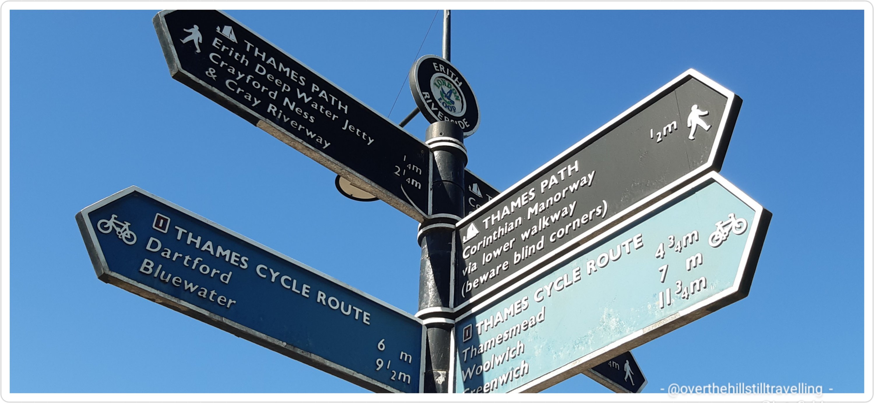
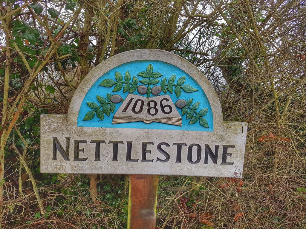
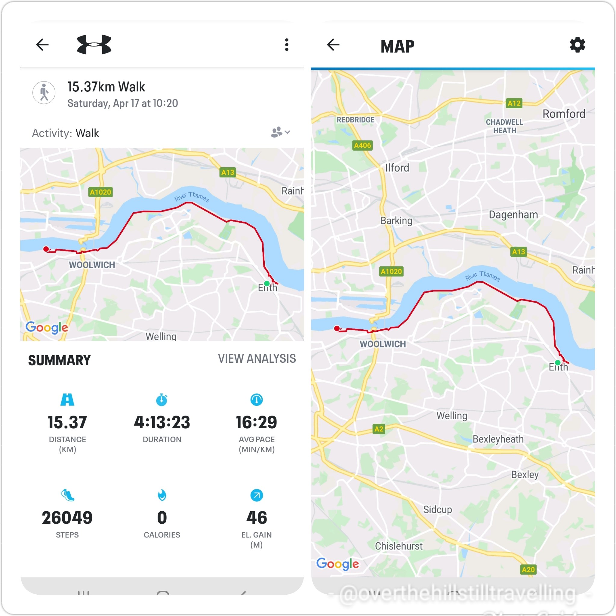
Stage 1 (b) : Thames Barrier to Greenwich 17.04.2021 – 9.21 kms – 2 hours 34 min – 15,763 steps – elevation: 32 meters
Leaving the Thames Barrier at just on 15:13 I made my way through the covered walkway, the barrier to my right. Along the concrete wall of the walkway they have noted some interesting facts and show the level of the river with the barrier closed, on 2 particular dates. Further along is a carved mural, ‘A Profile of the River Thames’, showing the many names of towns, bridges, locks and places of interest from sea to source along the River Thames with the relevant elevation above sea-level. I tried to photograph as many as I could. It was so cool to see the names of places I had already passed and the names of places still to come….most of which as I’ve mentioned in previous posts, I’ve already encountered. After Staines the elevation increases quite substantially.

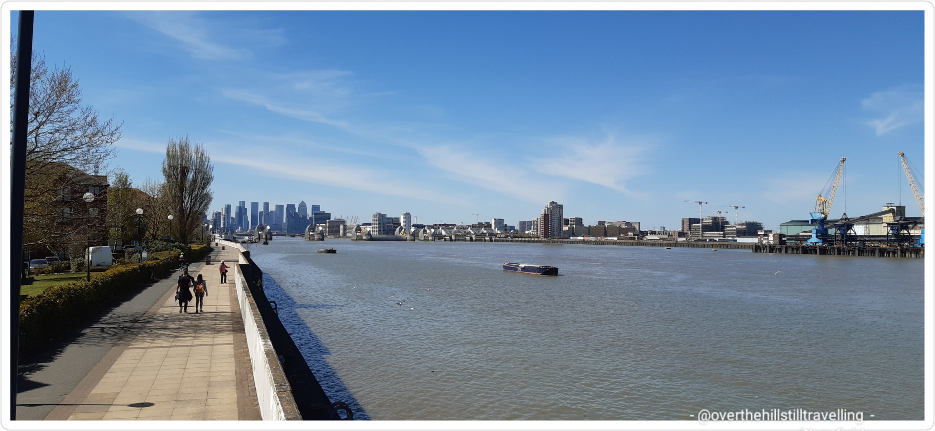
LOL I just had a look for some information on Google maps, and the barrier is described as “Giant moveable dam with a visitor centre”. OMG seriously. Google you need to get educated!! If you go to wikipedia you will see that: The Thames Barrier is one of the largest movable flood barriers in the world… not a ruddy dam!! The Thames Barrier spans 520 metres across the River Thames near Woolwich, and protects 125 square kilometres of central London from flooding caused by tidal surges. Ref http://www.gov.uk

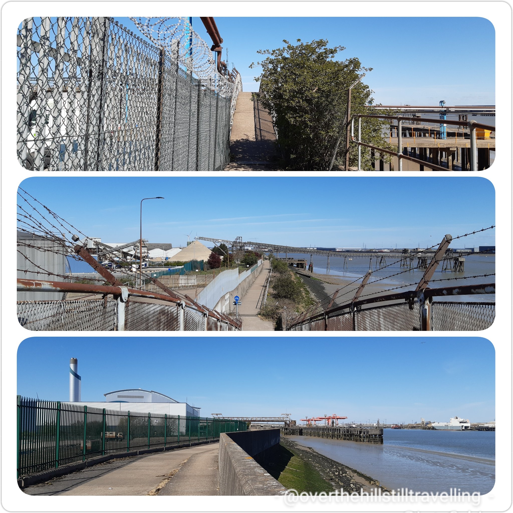
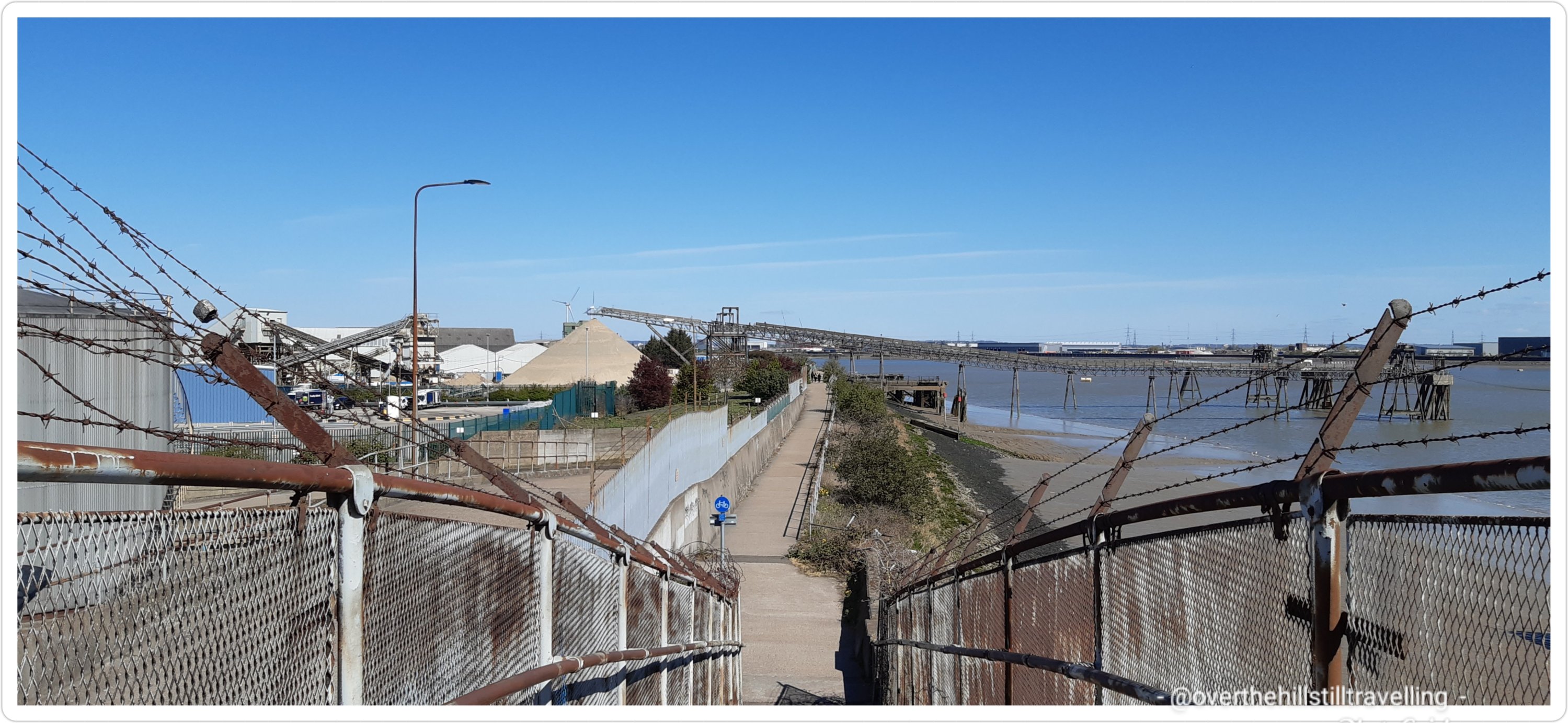
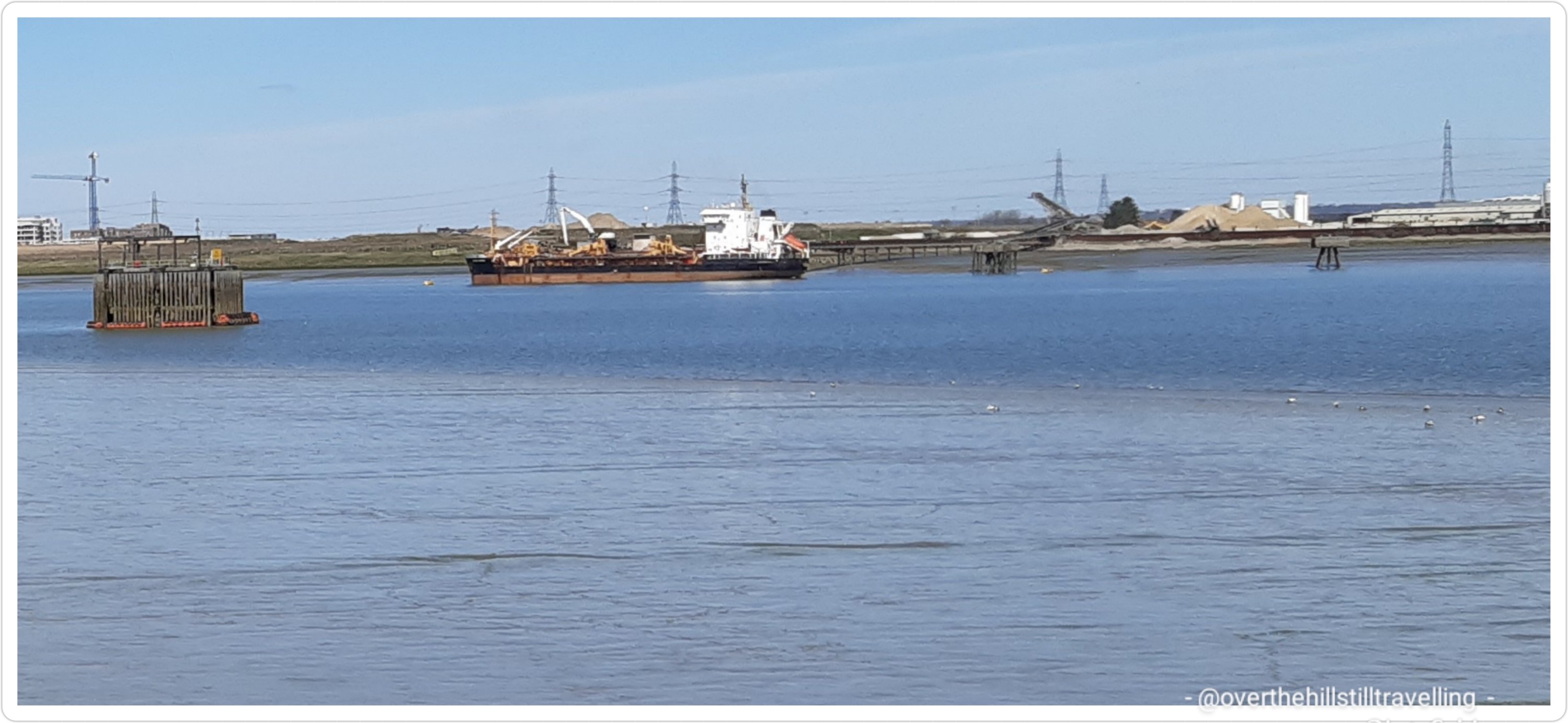
I soon left the tunnel and the first of many markers along the route told me that it was 4.5miles (7.2kms) to the Greenwich Foot Tunnel. The barrier really is a remarkable construction. A couple more photos of the barrier as it receded into the distance and my history, and all too soon I reached the Tarmac Charlton Asphalt Plant. Ugly industrial plant with unattractive fencing and lots of metal shutes jutting out into the river. This is a very industrialised section of the path; much like downstream near Erith.

The Thames Barrier was now 1 mile behind me and Cutty Sark 2.25miles ahead. Whoo hoo, not that far. But I was beginning to flag, my feet were starting to make uncomfortable noises and I still had the O2 peninsula to traverse.

Along this section of the river too there are a lot of information boards providing snippets of history and information about the area in relation to the river

I passed the ever so pretty and welcome Greenwich Peninsula Ecology Park; a tiny piece of watery paradise. I strolled along a couple of the boardwalks for a closer look and then…onwards

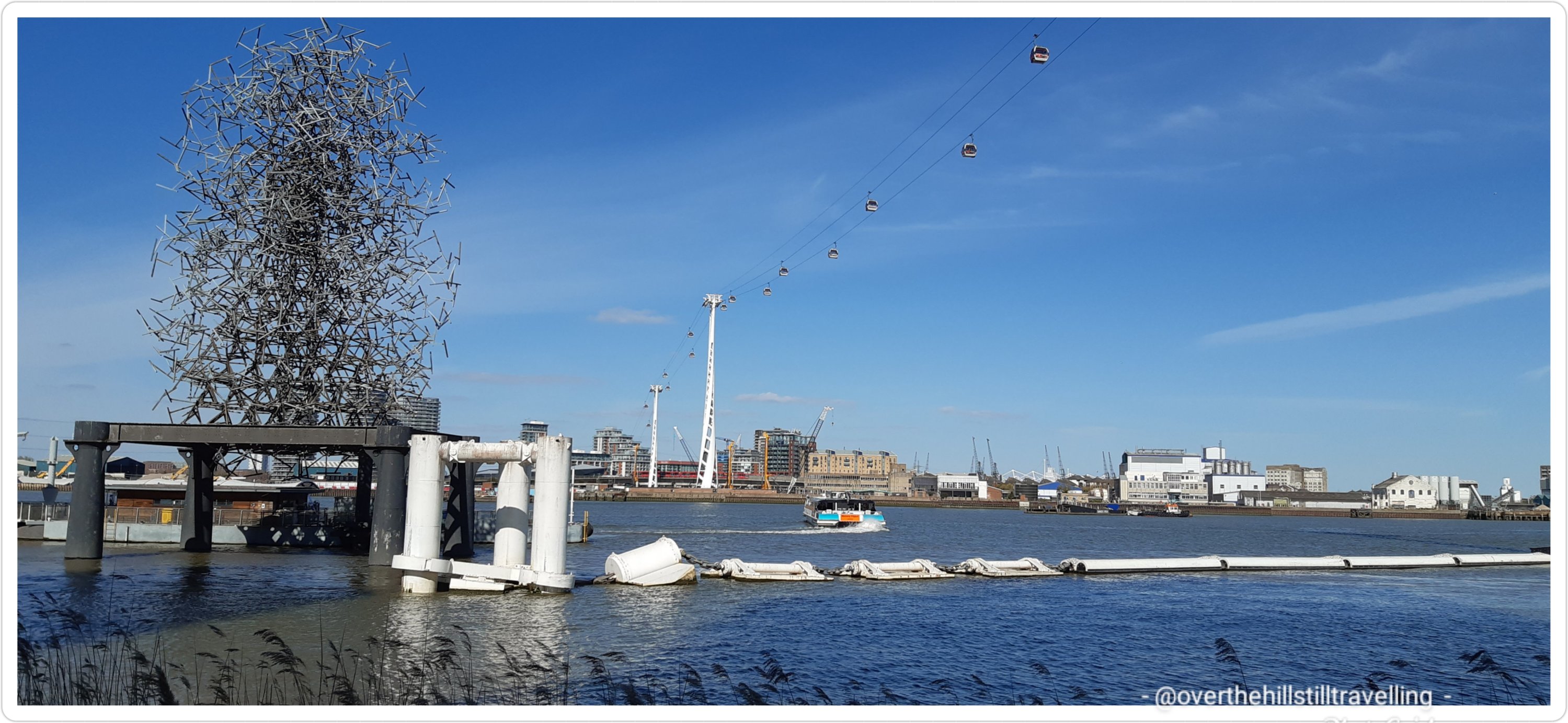
Occasionally I stopped to look back at how far I had come. Looking ahead I could see the Greenwich Cable Car structure in the distance…and whilst I walked debated the folly/fun of stopping for a ride across the river. When I got closer to the entrance, the queue of people waiting to get on decided me – another time. I’ve ridden it a few times in the past, so not missing out on anything. But it would have been lovely to share an aerial view of the river with you.

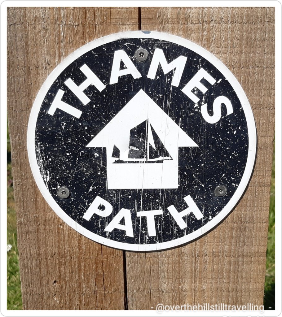
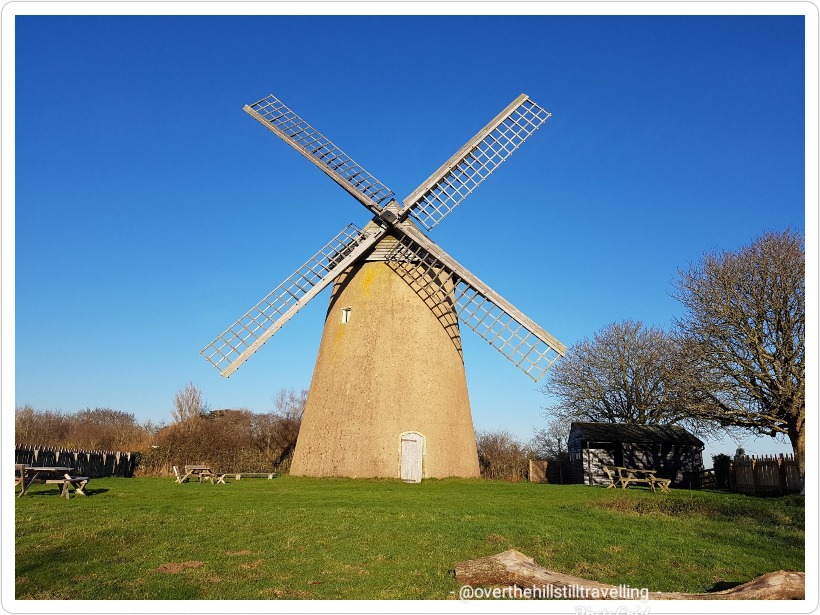
A very well marked path

I could see Anthony Gormley’s ‘Quantum Cloud’ in the distance getting closer with each step. That man sure does get around, but at least it’s not another image of his naked body and bits!! LOL
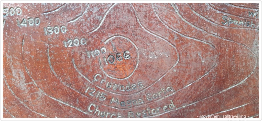
I passed some more storyboards showing a timeline of the history of the river from 8,000 BC till more current times, and included interesting snippets of events worldwide that occurred during the same period. It’s fascinating to read these boards and I wished I had more time to stop and read them all, but the clock was moving forward at a pace, so I had to up my pace if I wanted to actually get to Greenwich in time for a train to get me home before midnight!!
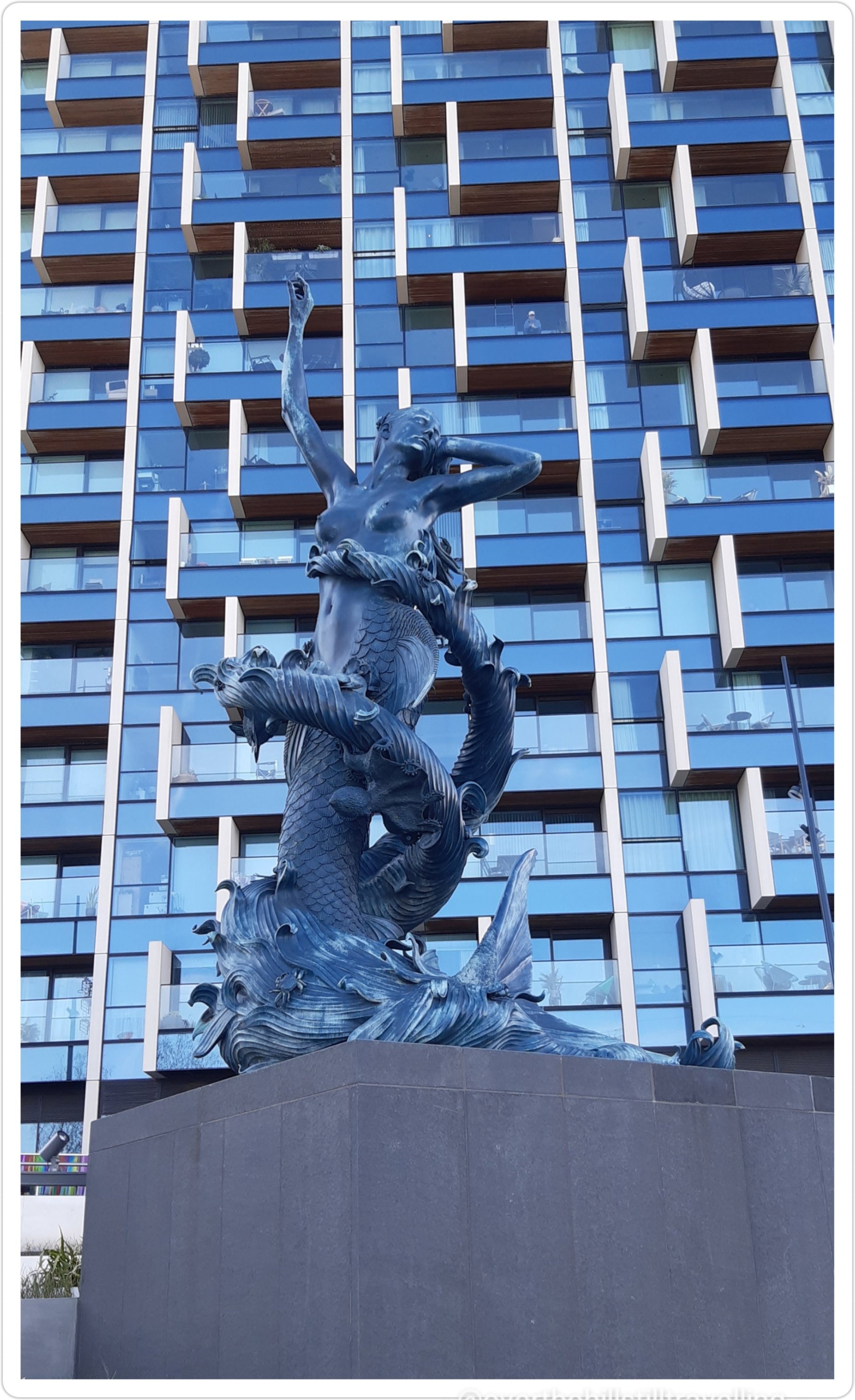
There are a lot of new residential developments in Greenwich and as I neared the O2 I passed a very large complex of new (to me) high-rise buildings, in front of one of which was a stunning sculpture of a Mermaid and what looks like a sea-dragon wrapped a round her, but on closer inspection appears to be the sea rolled around her form. It’s absolutely beautiful. Apparently it is one of Damien Hurst’s sculptures and is located on The Tide (a free-to-visit five-kilometre elevated walkway) – and an improvement on some of the stuff he’s done in the past.
Soon I reached the O2 arena and had a quick look around. Not much has changed here except that the fountains were not playing. I stopped briefly to photograph a couple of the flagstones that are inscribed with information like: 4282 km to the North Pole – Across England sea and ice. Or By the time you have read this the earth will have spun you 1450m.

And At 11:06hrs on the 17th May each year the mast shadow is centred on this stone. Of course I had to photograph ‘The Mast’ too; a tall swirling spike steel sculpture about which I have not been able to find ANY information regardless of my numerous Google searches. If you happen to know…please leave a comment. Also, I’m not entirely sure it is The Mast, but since I couldn’t see anything else that looked like a mast…

I could see there was a line of people climbing the O2 which reminded me of when I climbed the O2 some years ago – a gift from my daughter, it was amazing. I wonder if I could still climb it today LOL I’d love to take my grandson up.

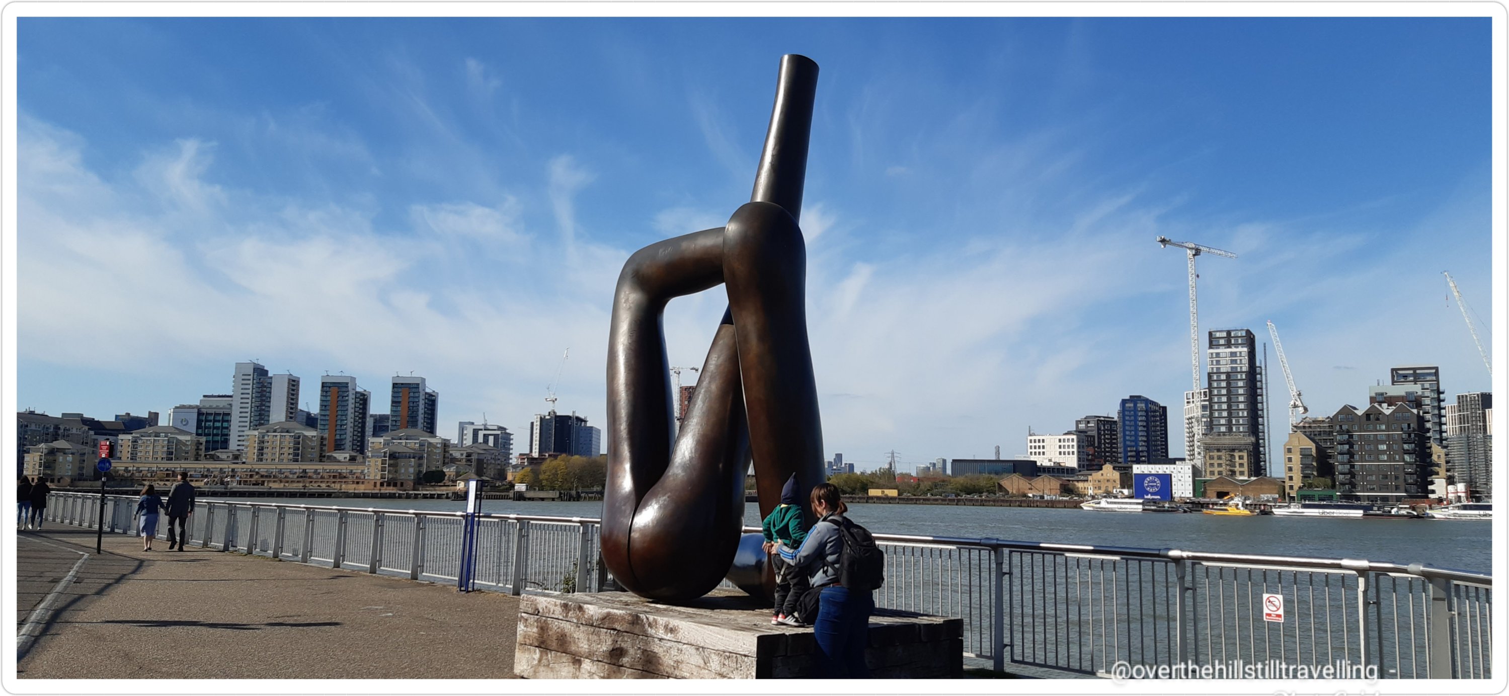
I then passed a really weird looking sculpture ‘Liberty Grip’ by Gary Hume. It was while researching this particular image that I found a site listing all the sculptures that these sculptures are part of: The Line – London’s first dedicated contemporary art walk. It looks amazing and I shall have to visit again and do the walk (of course). I’ve included the link here if you are interested in finding out more about these sculptures on the Greenwich Peninsula
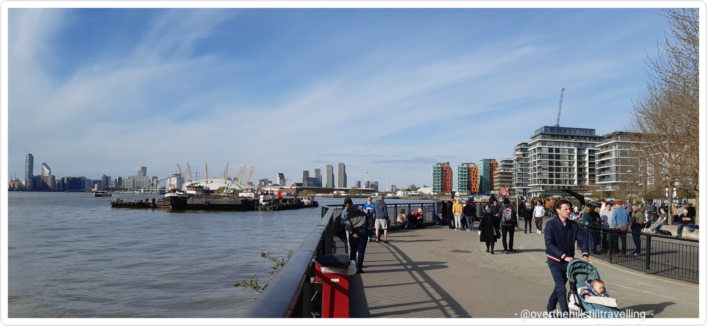
The Thames Path along these sections is brilliant; well paved, clean, attractive, lots of beautiful buildings, green lawns, trees and tidal terraces alongside the edges of the river – I found this really interesting link if you’re keen to find out more Estuary Edges along the River Thames. It seems that the powers that be are starting to take more care of the river and the wildlife that inhabit it.


Another decorative National Cycle Route marker

Not long after I left the O2 Arena area I came upon an open tarmac area next to the Greenwich Peninsula Golf Range, and congregated thereupon was a massive group of cyclists, of varying ages; teens to tweens I’m guessing. All very boisterous, crowding and shoving and shouting, and there in the middle were 2 young girls in skimpy outfits doing a ‘Grease’ scenario, right down to the colourful handkerchiefs… and at the far end a row of cyclists lined up – I chuckled to myself as I made my way through the throng, heckled every step of the way for not observing their desire to race along the pathway, and not getting out the way. Sorry boys, places to go, things to see.

The next Thames Path marker told me that I was now 1.25 miles from the Cutty Sark and the Foot Tunnel and 6 miles from Tower Bridge – I was tempted to keep going to Tower Bridge, but it was late and by now I was seriously footsore.

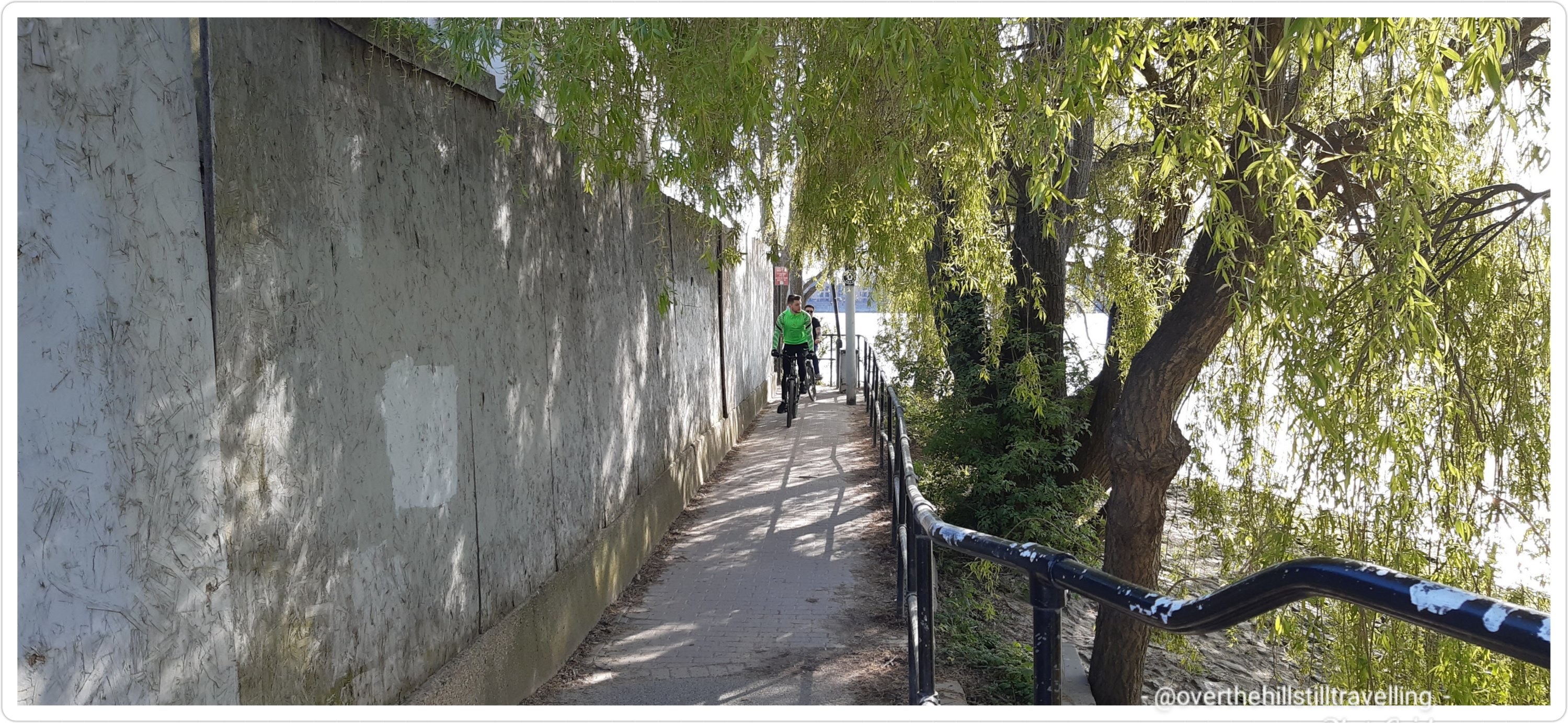
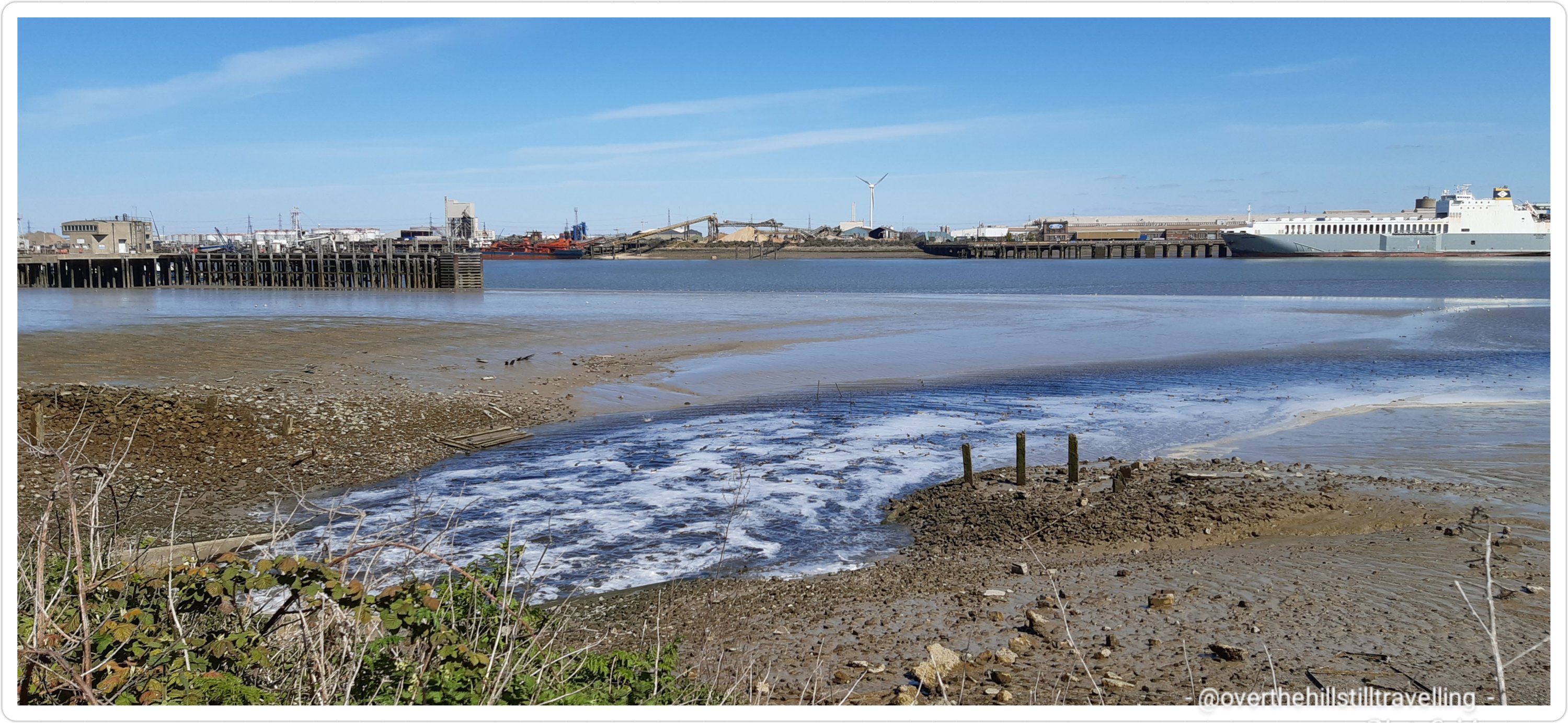
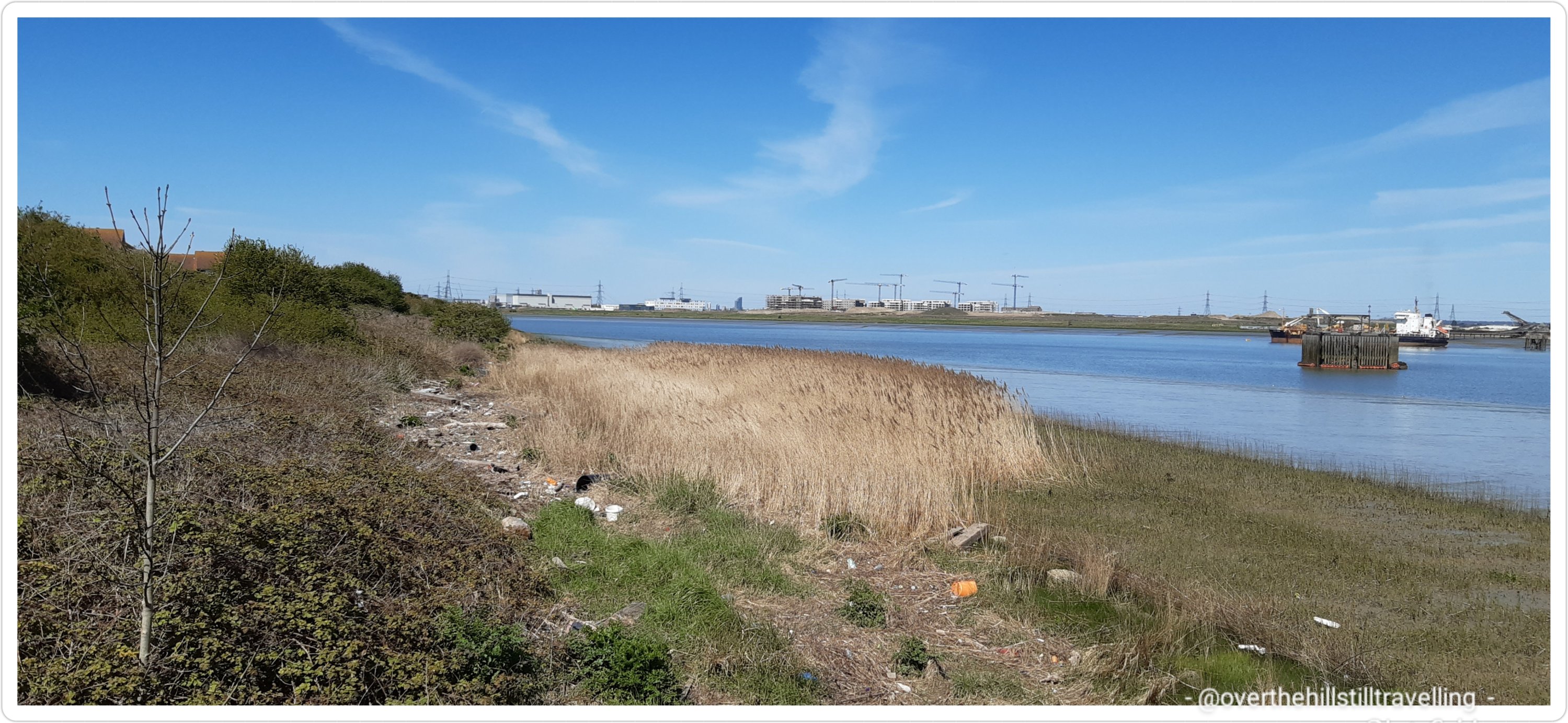
The path twists and turns as it winds it’s snaking way through all manner of landscape. If nothing else, the path offers a varied landscape.
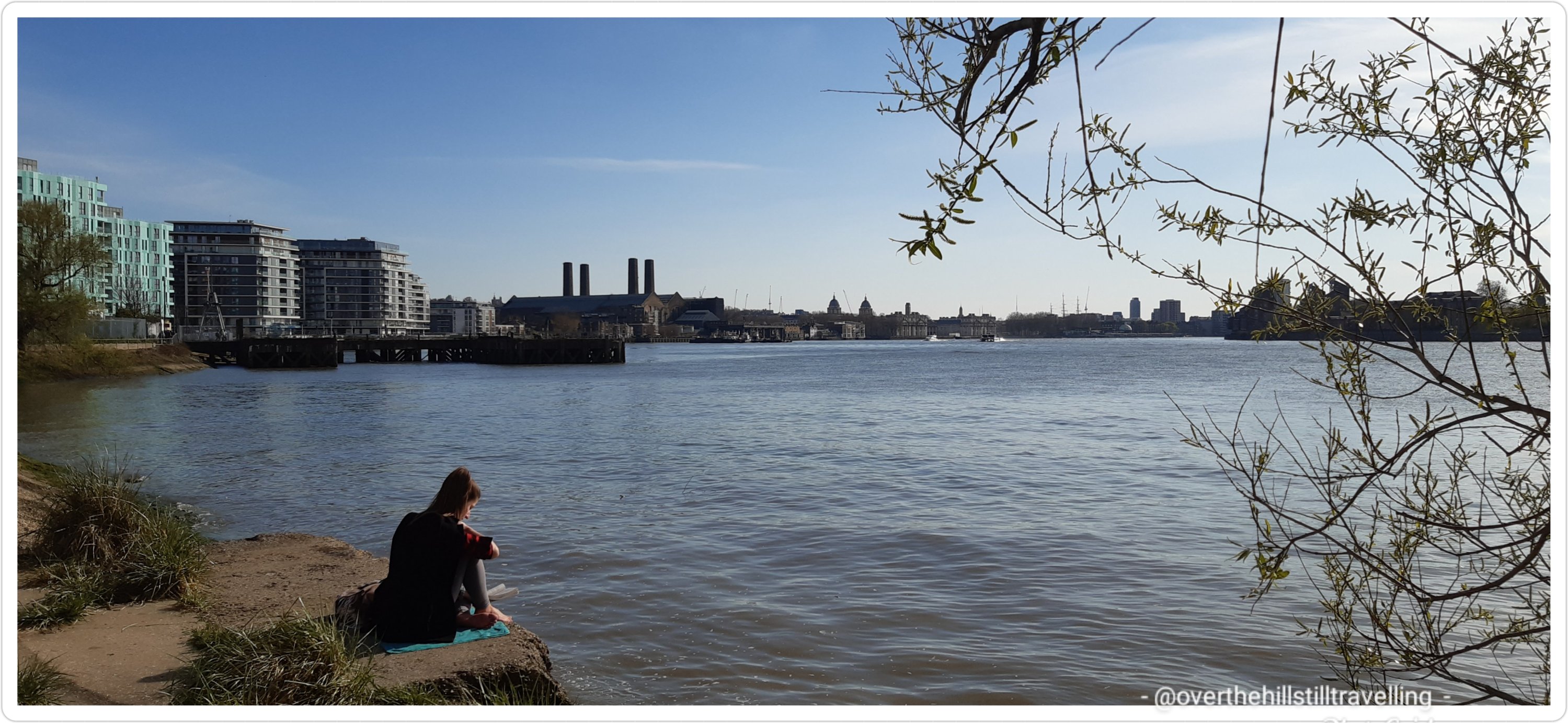
I saw someone fishing, very comfortably too I might add from a bench, and just around a leafy green corner I spotted a young woman sitting on an open space just over the fence and on the banks of the river…it looked so tranquil and perfect that I could have happily joined her. A terrific place to sit and read a book.
And yet another variation, around every corner a surprise

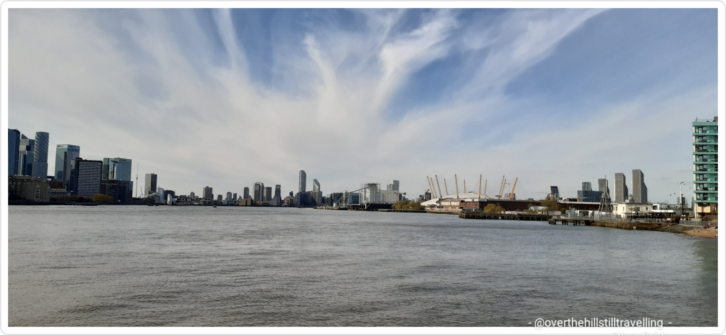
Looking back I could see the O2 Arena now some distance behind me and across the river the Towers of Babel aka Canary Wharf.
And thennnnn…whoo hoo – Greenwich!!! I had made it. I reached the Cutty Sark Pub at 17:03:54 🙂 And now it was getting really busy. People thronged the path, now a wide boulevard rather than a path, strollers, dog-walkers, parents with strollers, kiddies running around screaming, joggers, cyclists (trying to weave their way through the throng), all out enjoying the lovely afternoon sunshine. It was truly one of London’s best days.

I passed a brick wall with some intriguing sculptures telling a story about a boy named Sam – I did some research and found that it’s ‘A Thames Tale’ : Wall art by Amanda Hinge in Greenwich. It’s really lovely and I wish I’d had more time to read it all.

the mind of an artist must be an interesting thing to study 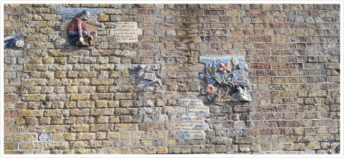
I loved this wall sculpture near Greenwich


I then passed the diminutive Trinity Hospital with the towering Greenwich Electric Power Station just behind it. Apparently named the ‘Heavenly Twins’ for the two great chimneys…although there are in fact 4 chimneys.

I meandered along a narrow cobbled pathway between old brick houses; looking for all the world like I had stepped back in time to the Victorian ages. You could just imagine the gas lamps flickering and fluttering at night in the wind. Did I ever say how much I love Greenwich?


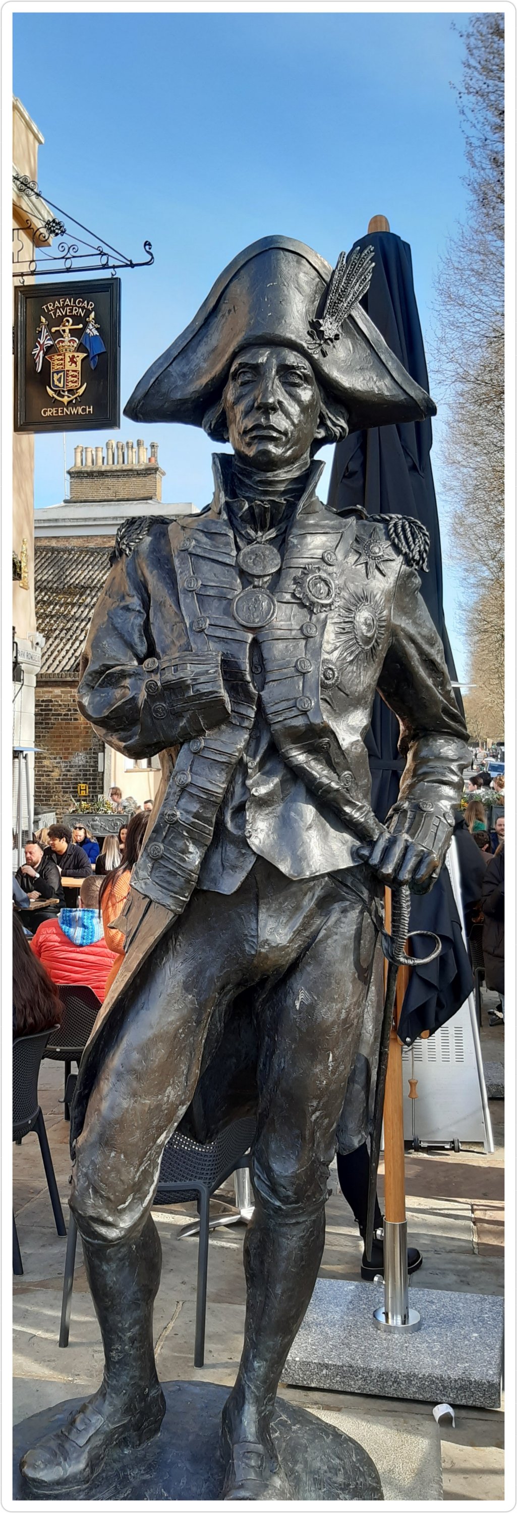
I soon passed The Trafalgar Tavern and a statue of himself; Horatio Nelson, hero of the Battle of Gibraltar. The Battle of Trafalgar took place on 21 October 1805 during the Napoleonic War (1803–1815), as Napoleon Bonaparte and his armies tried to conquer Europe. Unfortunately Nelson met his Waterloo at this battle and was shot by an enemy sniper when he stepped out on deck to survey the battle. ref wikipedia.
Once again I stopped to look back at how far I had come. Distance is an optical illusion at many points along the River Thames as is coils and winds it’s way through London, and although you cover many miles from point A to B, the distance looks less, due to the shape of the river. Apparently, due to of the bends of the river, the Greenwich waterfront is as long as 8.5 miles.

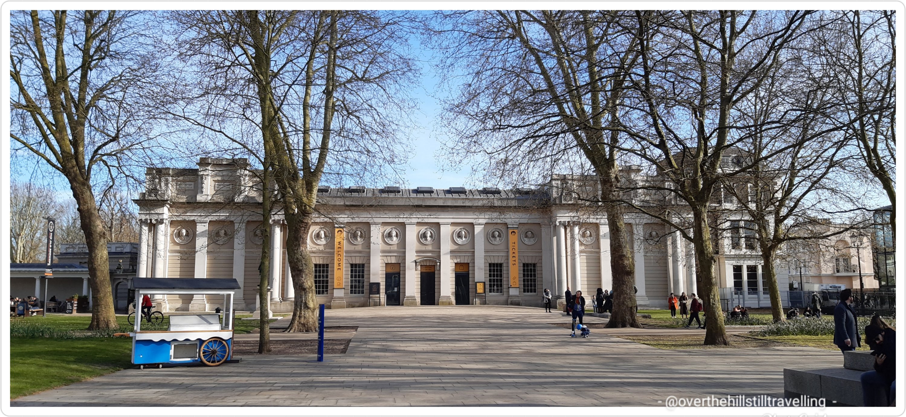
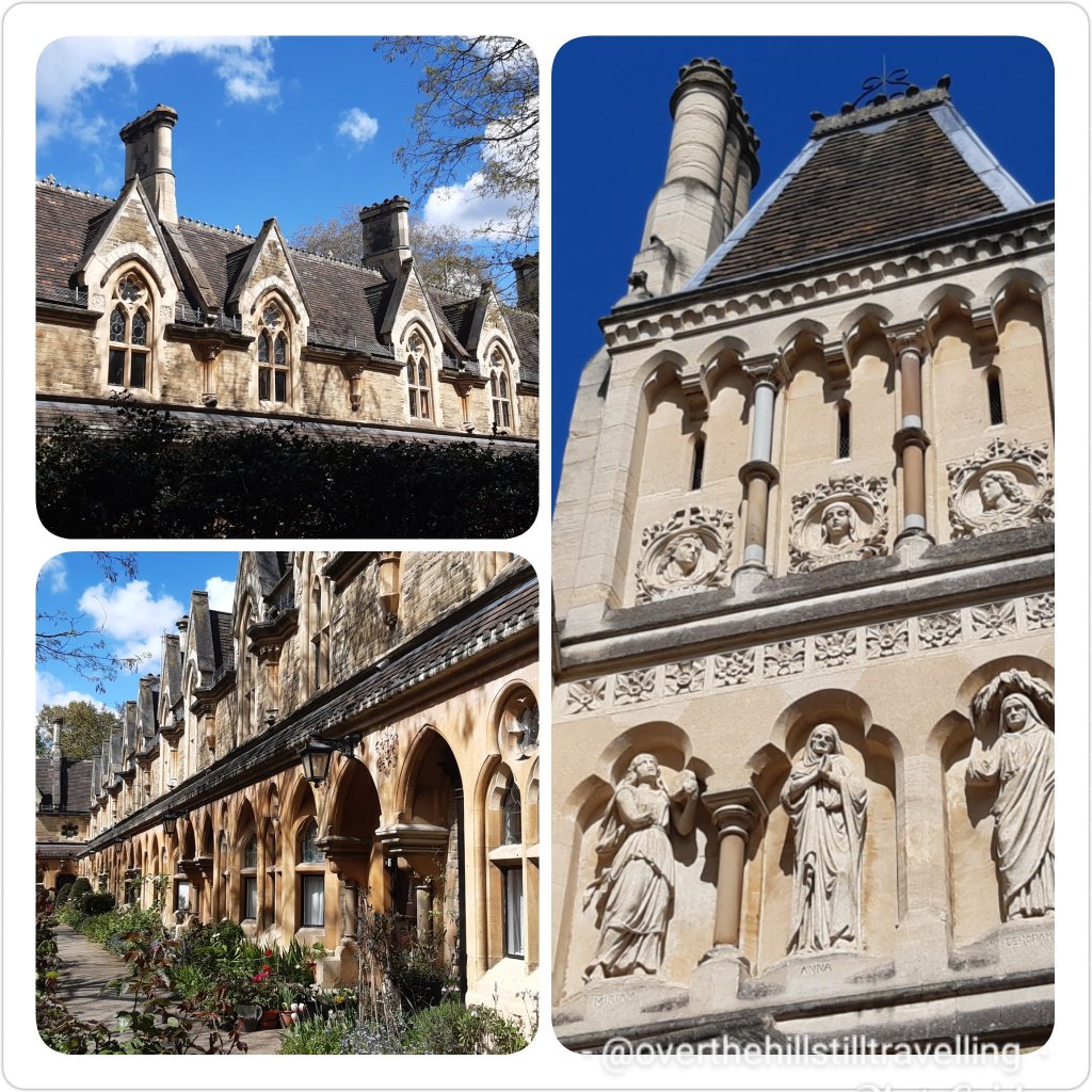
Royal Greenwich! Oh how much I love this place. One of London’s 4 UNESCO World Heritage sites, Greenwich has a history as long as your arm or longer…. it has seen kings and queens, pirates and heroes, played a part in WW1 and WW2 and hosted a palace where one of England’s most notorious kings; Henry VIII was born. There are scant remains of the Palace of Placentia, and today the fabulous Royal Naval College stands above the area.

Royal Greenwich is home to time; the Greenwich Meridian – the location of the Greenwich prime meridian, on which all Coordinated Universal Time is based. The prime meridian running through Greenwich and the Greenwich Observatory is where the designation Greenwich Mean Time, or GMT began, and on which all world times are based. I’ve met the Meridian Line in a couple of places, namely; Oxted – a market town in Surrey, along The Pilgrim’s Way on the North Downs, and near Richmond on the Thames Path.
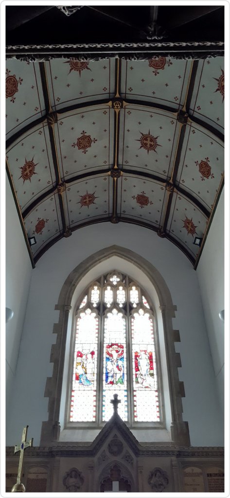
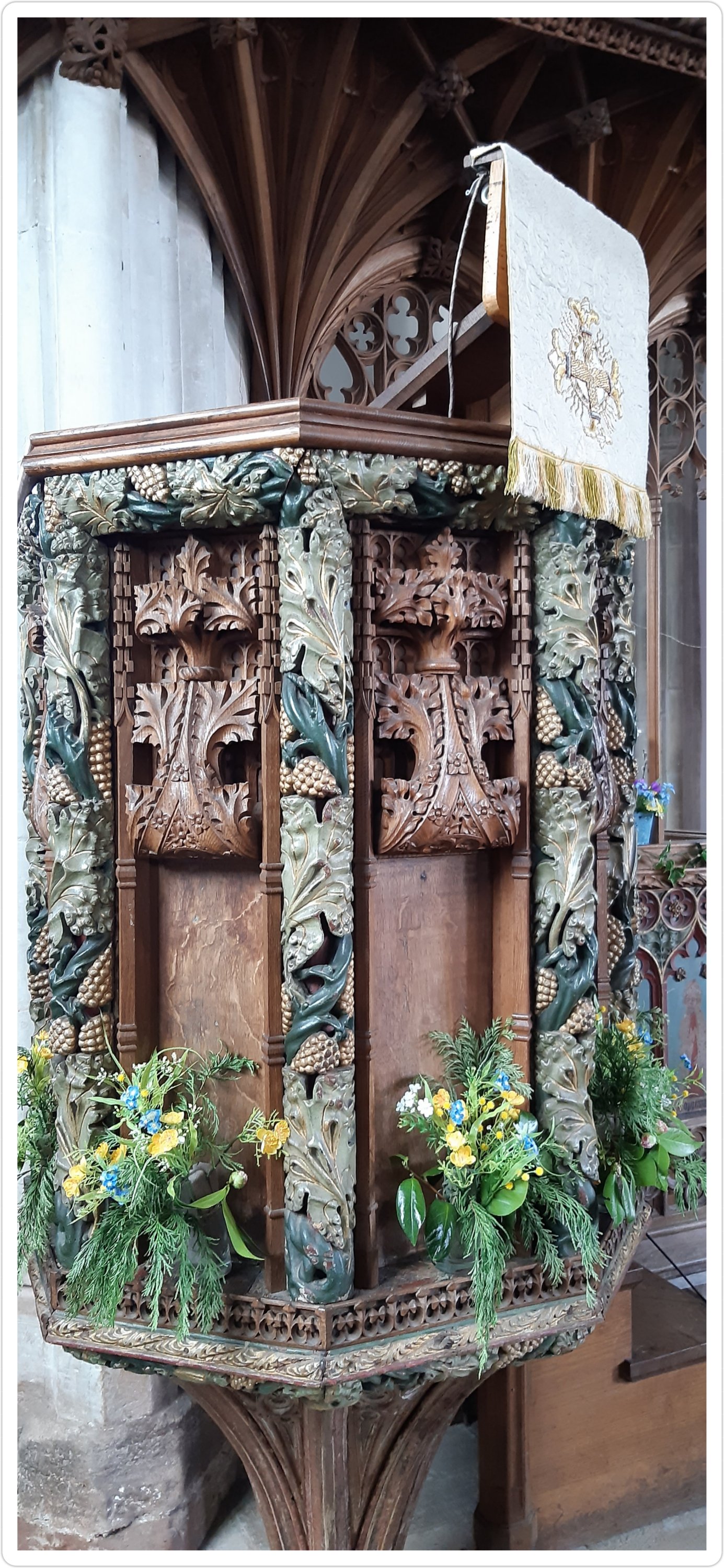
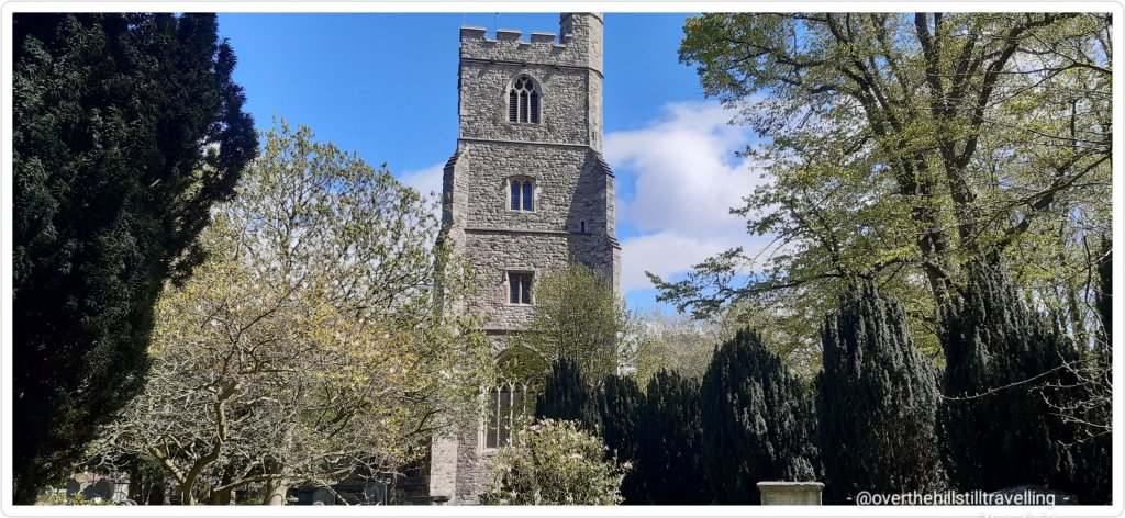
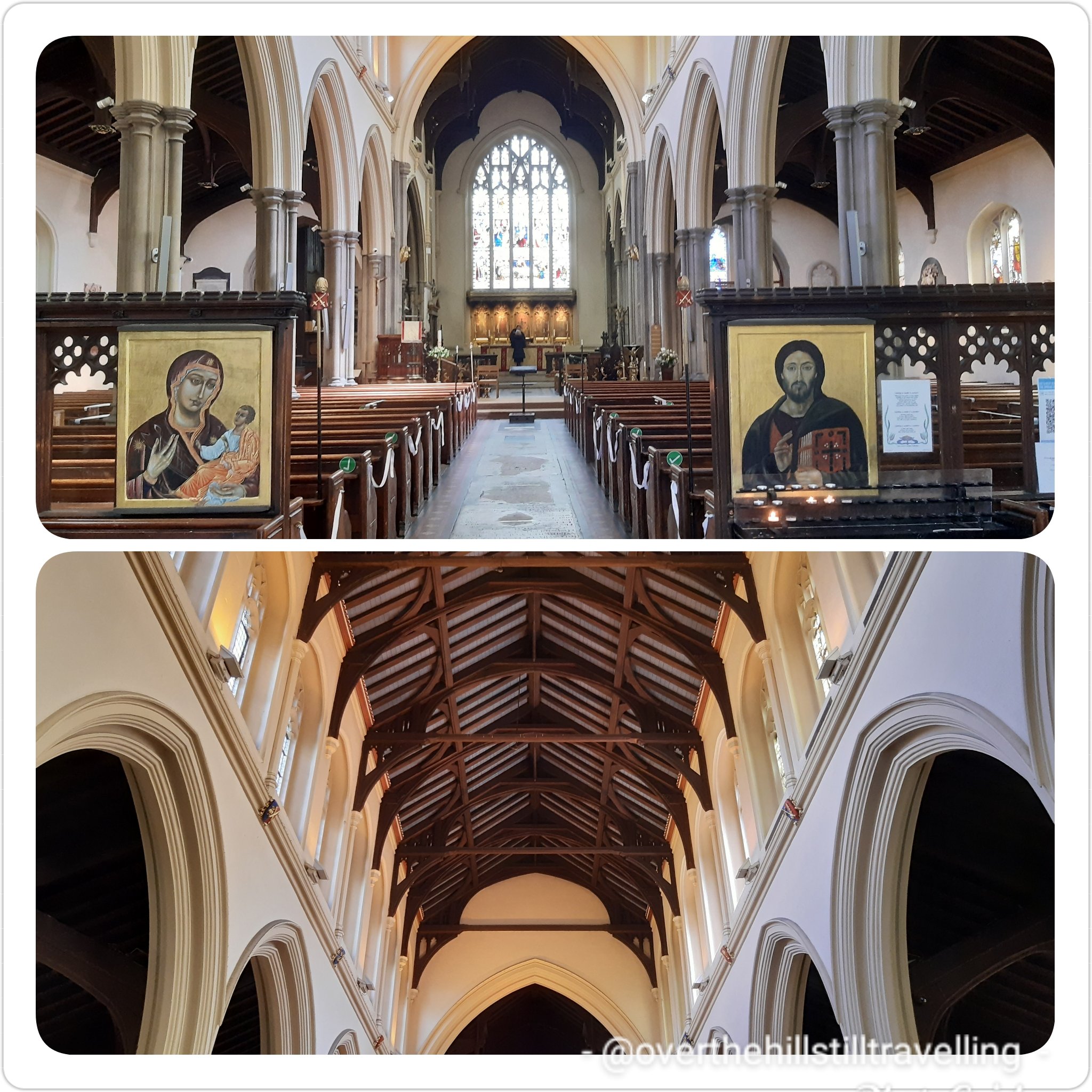
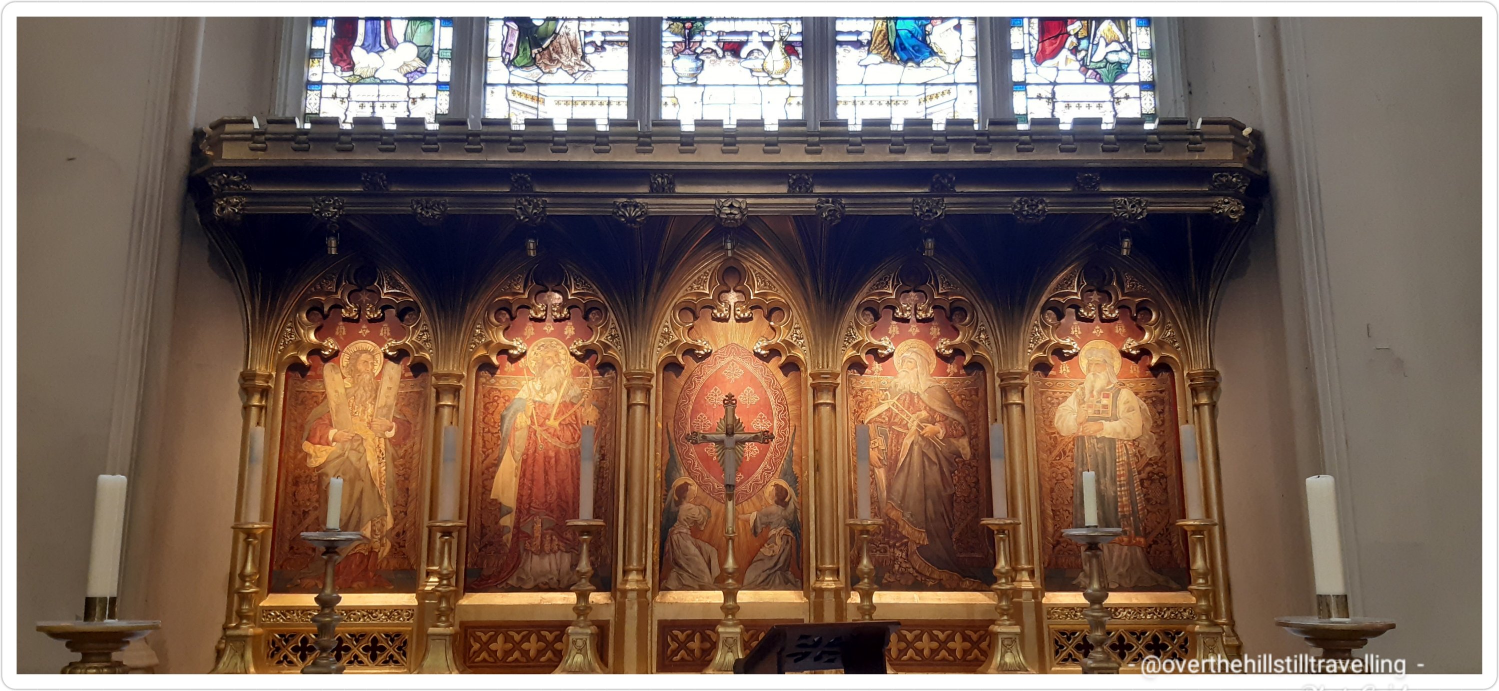
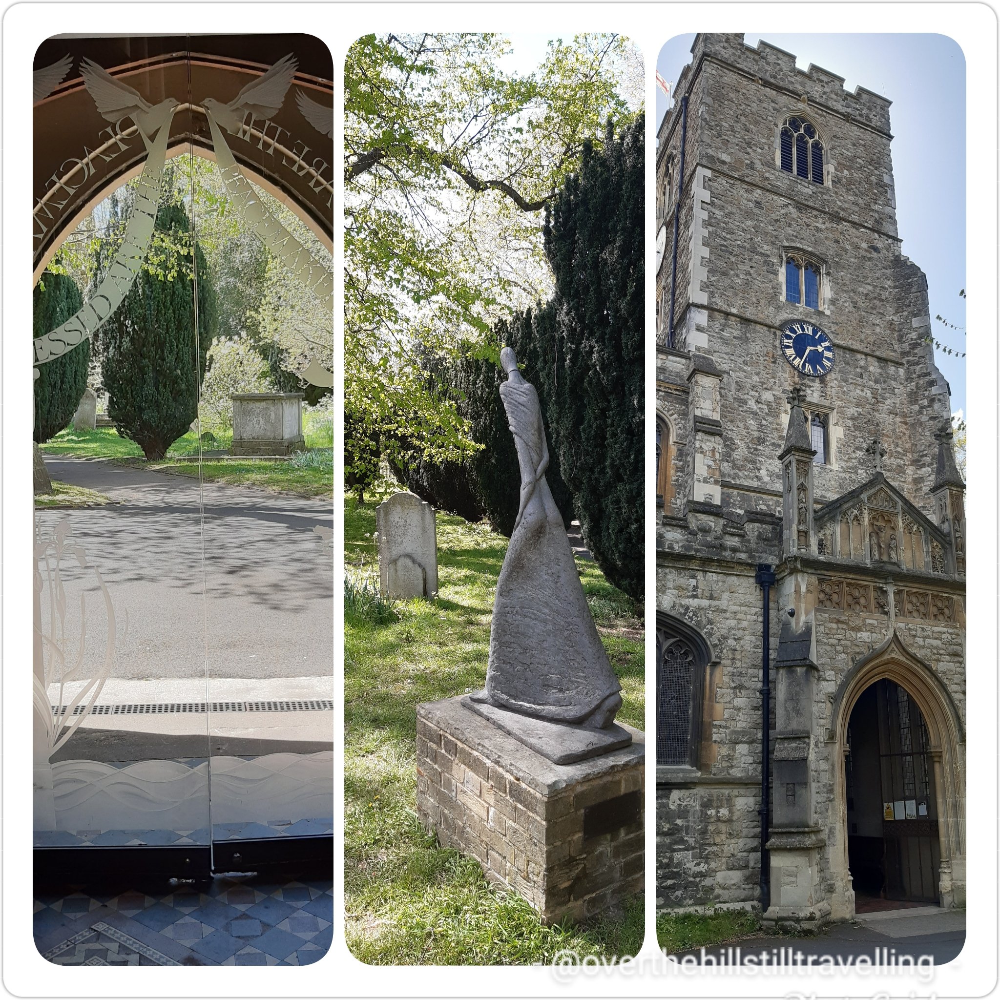
Royal Greenwich, with a plethora of Grade 1 and Grade 2 listed buildings, museums, the Royal Observatory (Christopher Wren and Robert Hooke), The Naval College (designed by Christopher Wren), The Queen’s House (by Inigo Jones), and the Cutty Sark along with dozens of other places of interest, has so much to offer that you need multiple visits to make the most of it all. It even has 2 castles nearby: Vanbrugh Castle, and Severndroog Castle and a palace: Eltham Palace (fabulous place, you must visit). There are numerous churches to visit, one of which, designed by the famous architect Nicholas Hawksmoor, is St Alfege. In Charles Dickens’s novel Our Mutual Friend, Bella Wilfer marries John Rokesmith in St Alfege Church. The medieval church which stood there before the current 18th century church was dedicated to St Alfege who was martyred by the Danes on 19th April 1012. Henry VIII was baptized there in 1491.

History enough to satisfy any history buff.
The evening was absolutely beautiful and it was so lovely to see some many people about…

And then the beautiful, most famous, sometimes ill-fated, and celebrated tall-mast sailing ship; the Cutty Sark, a Victorian tea clipper – sitting resplendent above her glass enclosed dome – looking for all the world as if she is sailing the open seas once more.

Nearby are the famous glass-domed Greenwich Foot Tunnels constructed between 1899 and 1902; still used today and linking Greenwich with Millwall on the opposite bank of the river. It’s a must visit, even just for the thrill of walking beneath the riverbed.

It was now 17:19, the sun was beginning to set, so I decided at this juncture to end my journey here and pick it up again on the morrow.

I meandered a bit taking photos of the things I’ve photographed dozens of times before LOL and then I went on the hunt for food…although there are a number of brands; coffee shops and restaurants scattered about, I am loathe to use the big chains for my meals whilst walking and prefer instead to use independents or smaller chains.
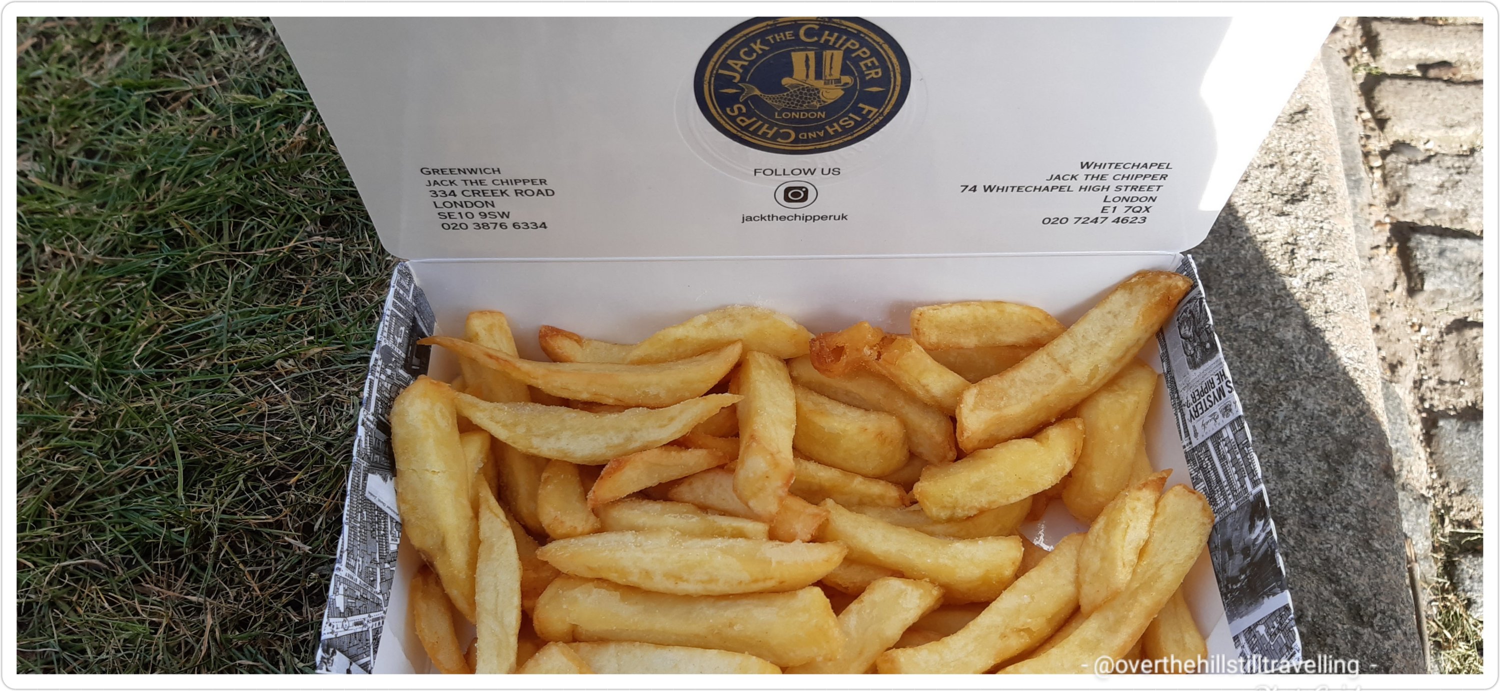
First I wandered through the food market on the raised area near the Cutty Sark but saw nothing that was of interest, so strolled along the streets until there, at the traffic lights near the market I spied Jack the Chipper! I am an old fashioned girl at heart when it comes to food, and love nothing more than a hefty portion of fresh hot chips, and that is just what I got – the chips had literally just come out of the fryer, so I ordered a ‘small’ box of hot chips to go. I got more than I bargained for and there was enough for two….but guess what? I ate them all LOL nothing like walking for 6 hours to build up and appetite.
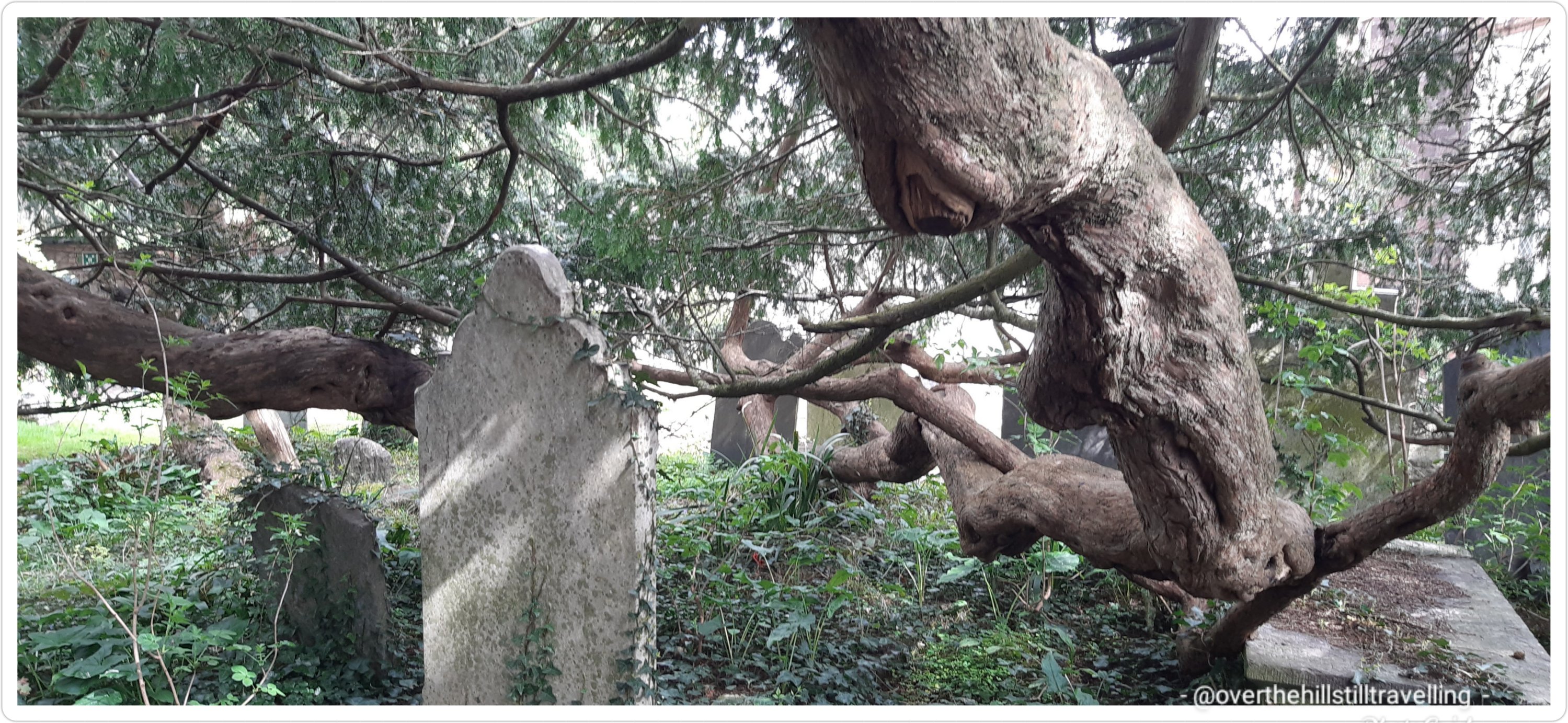
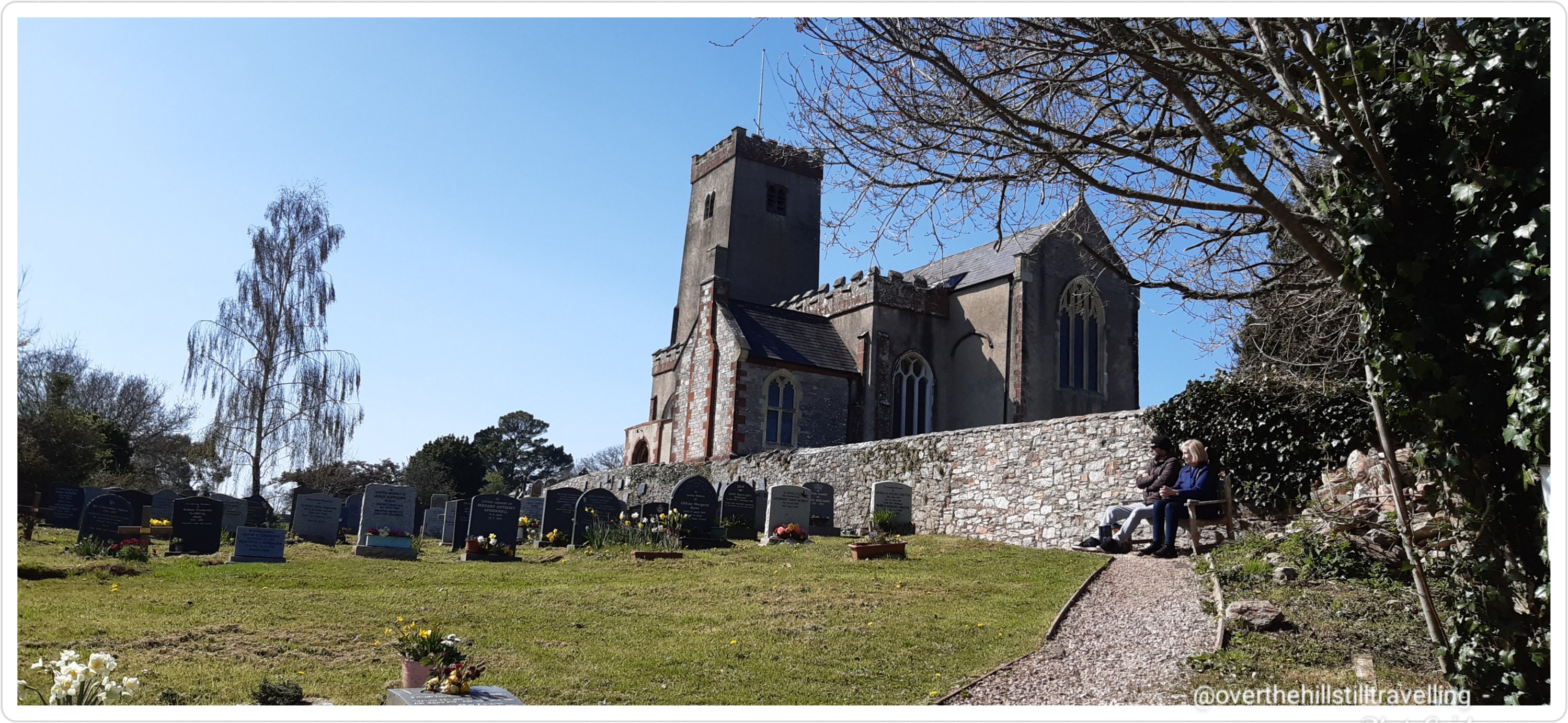
I made my way to St Alfege’s church which was just around the corner and there I sat in the graveyard, the setting sun warm on my shoulders and enjoyed my delicious box of hot chips. Yum! Thus ended Stage 1 of my journey along the Thames Path; in a graveyard…but not permanently LOL
By the time I finished eating it was just after 6pm, so I set off for the station…time to go home, have a hot shower and fall into bed.
Enroute to the station I quickly dashed across the road to photograph the rather marvellous sundial on the corner and then it was off to the station where I caught the 18:17 train home via STP.


Stage 1 done and dusted – What a marvellous day and I’m SO glad that I decided to walk onto Greenwich from the Thames Barrier, it was a most satisfactory day/distance and brought my total from home to station (and the reverse) and station to station Erith to Greenwich to: 27.08 kms (16.93 miles) – 6 hours 47 min – 41,812 steps – elevation: 46 meters to be precise. Not too shabby really.
Stage 2: Greenwich to Vauxhall Bridge (or further if I can) – post to follow shortly
Postscript: I had planned on doing 6 stages from Erith to Staines-Upon-Thames, but by adding on the section from The Thames Barrier to Greenwich, and again for Stage 2 going further from Vauxhall to Battersea Park, I managed to the distance in 5 stages from Erith to Staine-Upon-Thames. But more on that to follow.
Quote: “If you go to London now, not everything is beautiful, but it’s amazingly better than it was. And the Thames is certainly a lot better; there are fish in the Thames”. Freeman Dyson.


You must be logged in to post a comment.