Feeds:
Posts
Comments

Posts Tagged ‘long distance walking’

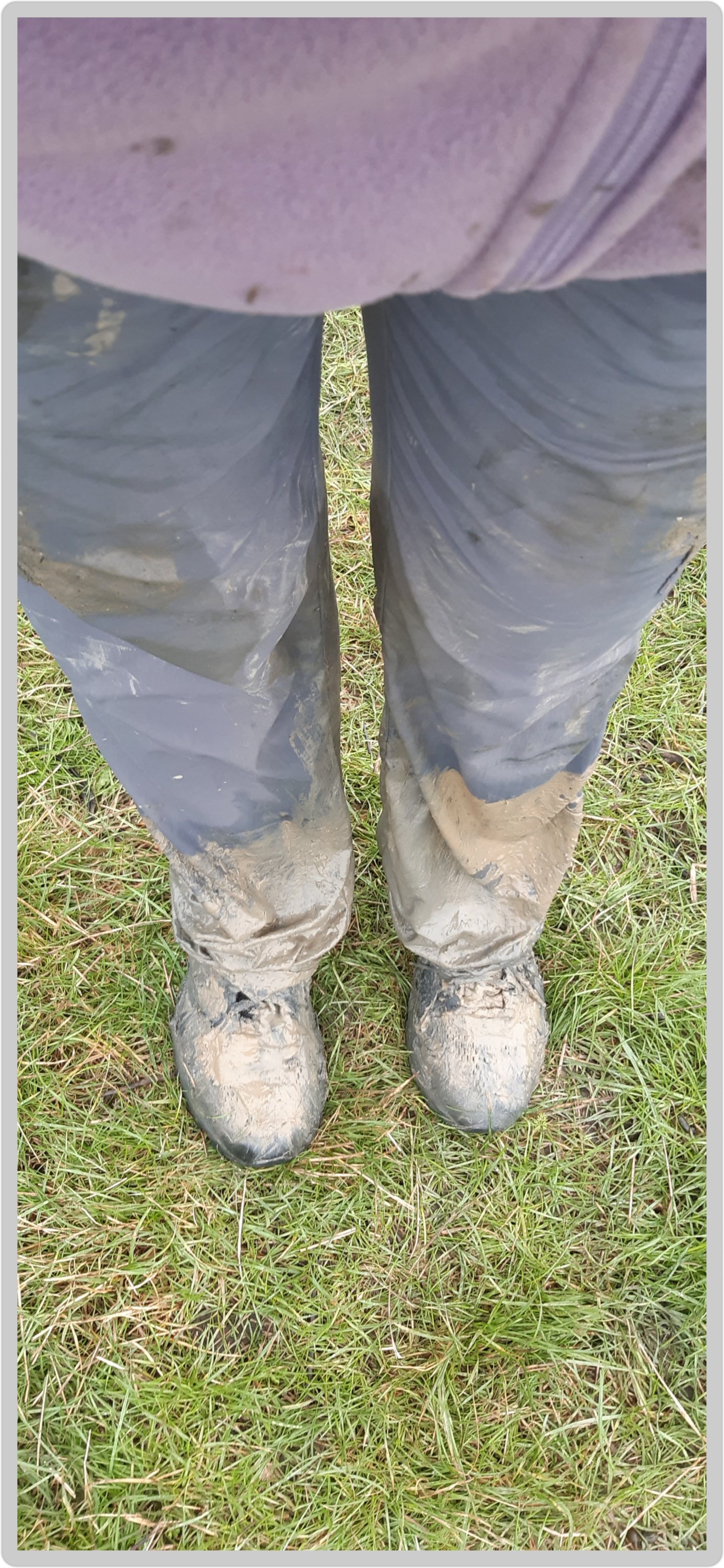
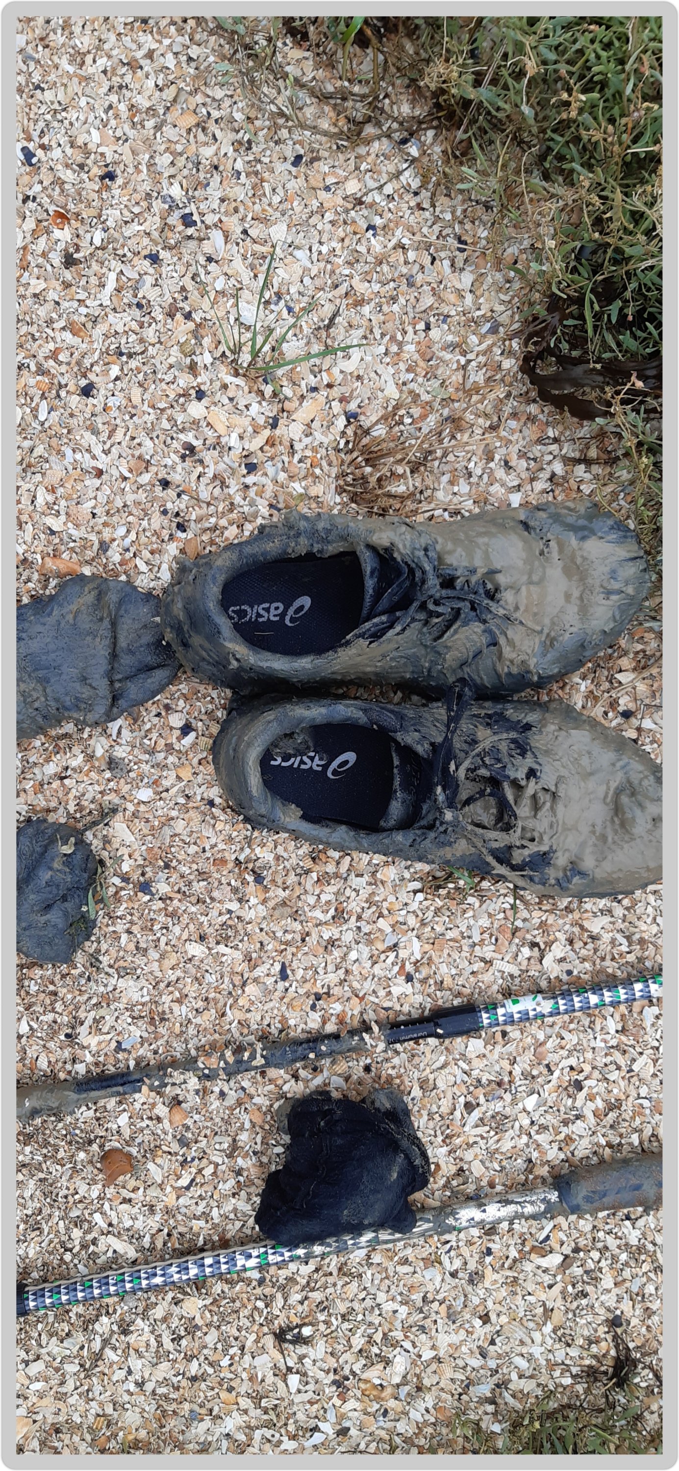
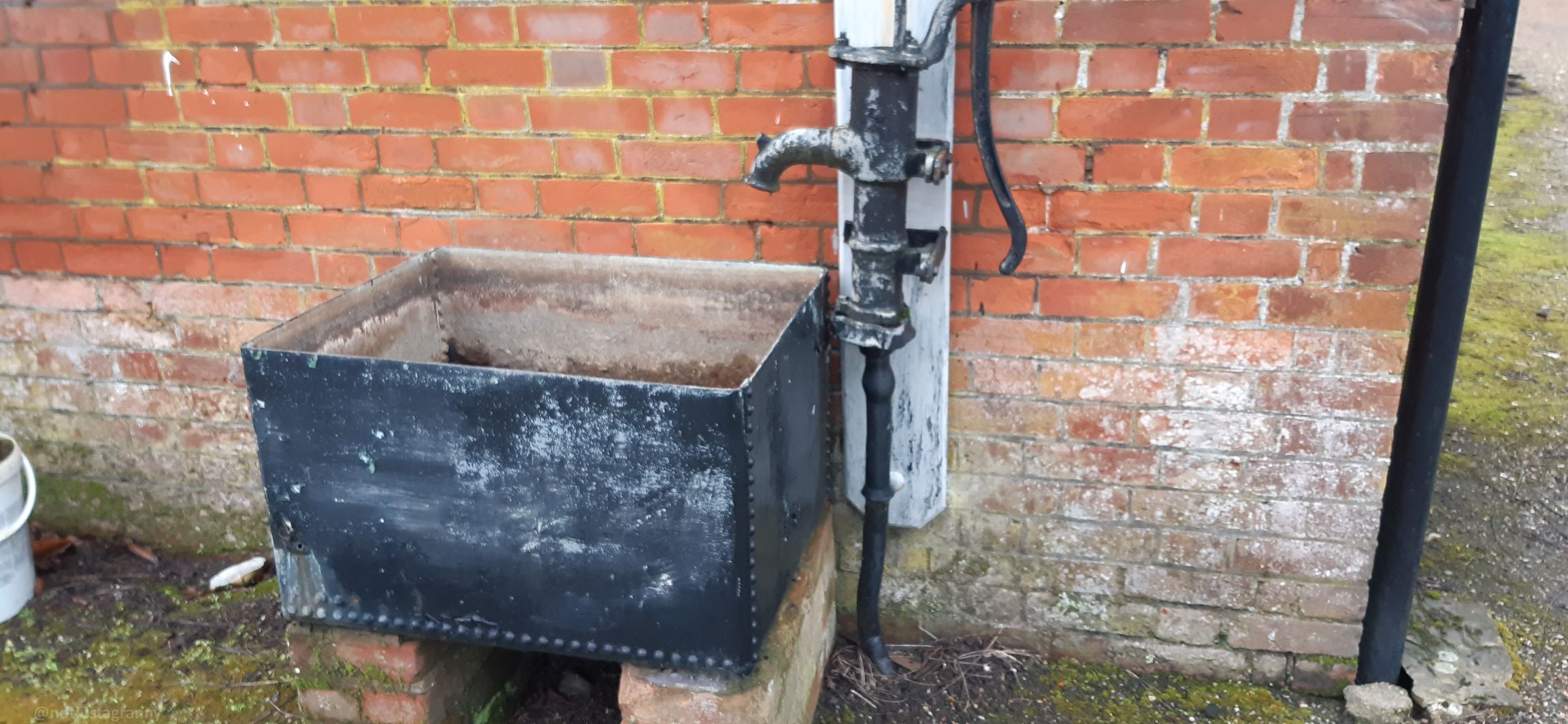
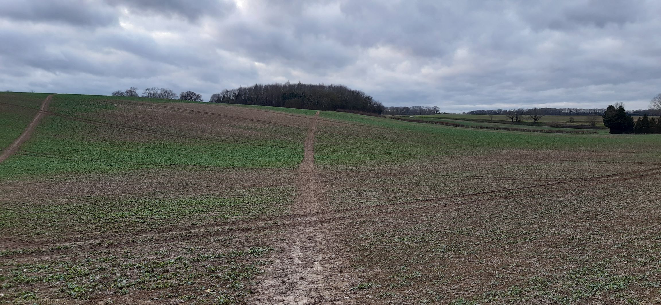
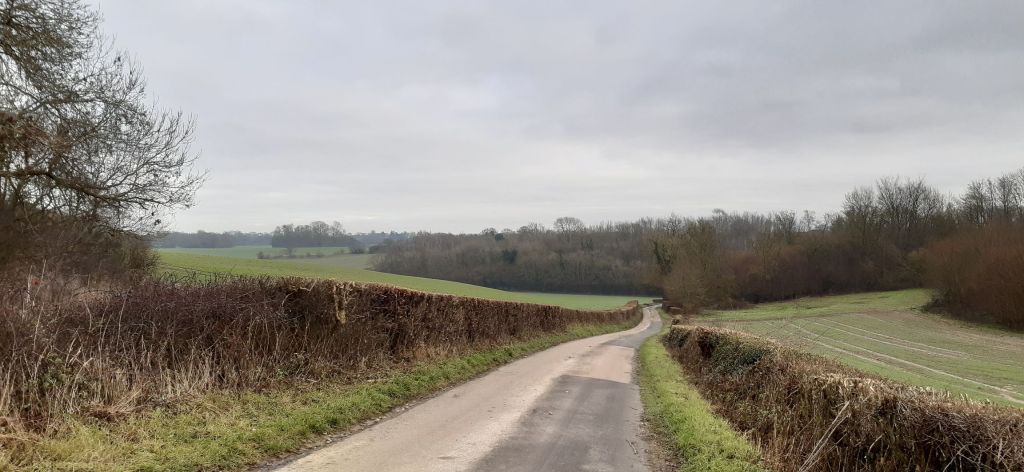
And with one final push, I completed the Mt. Fuji, Japan Conqueror challenge on the evening of the 29th December. After my walk earlier the day I noticed I had only just over 1km to go, so off I went πŸšΆπŸ»β€β™€οΈπŸšΆπŸ»β€β™€οΈπŸšΆπŸ»β€β™€οΈ

This final stage took me to the summit of Mt. Fuji, and apparently some of the best views….wish I was there for real πŸ˜‰πŸ”πŸšΆπŸ»β€β™€οΈ

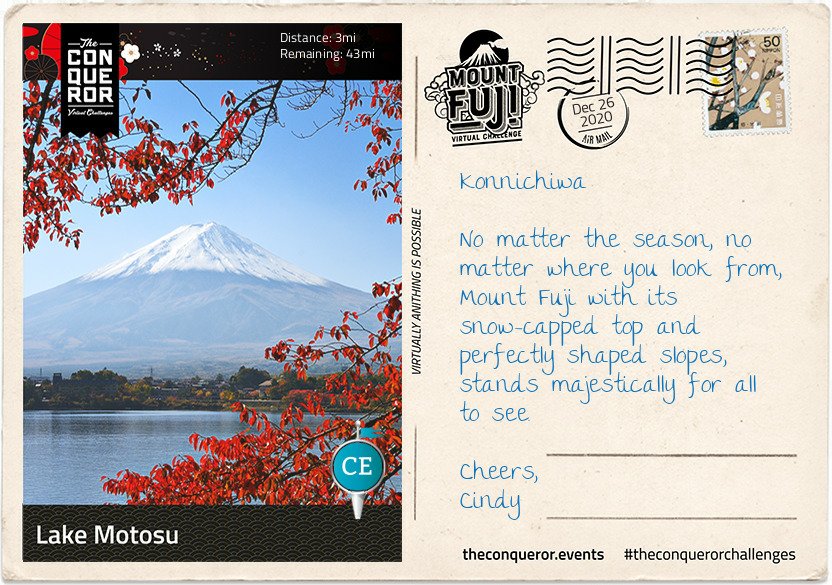
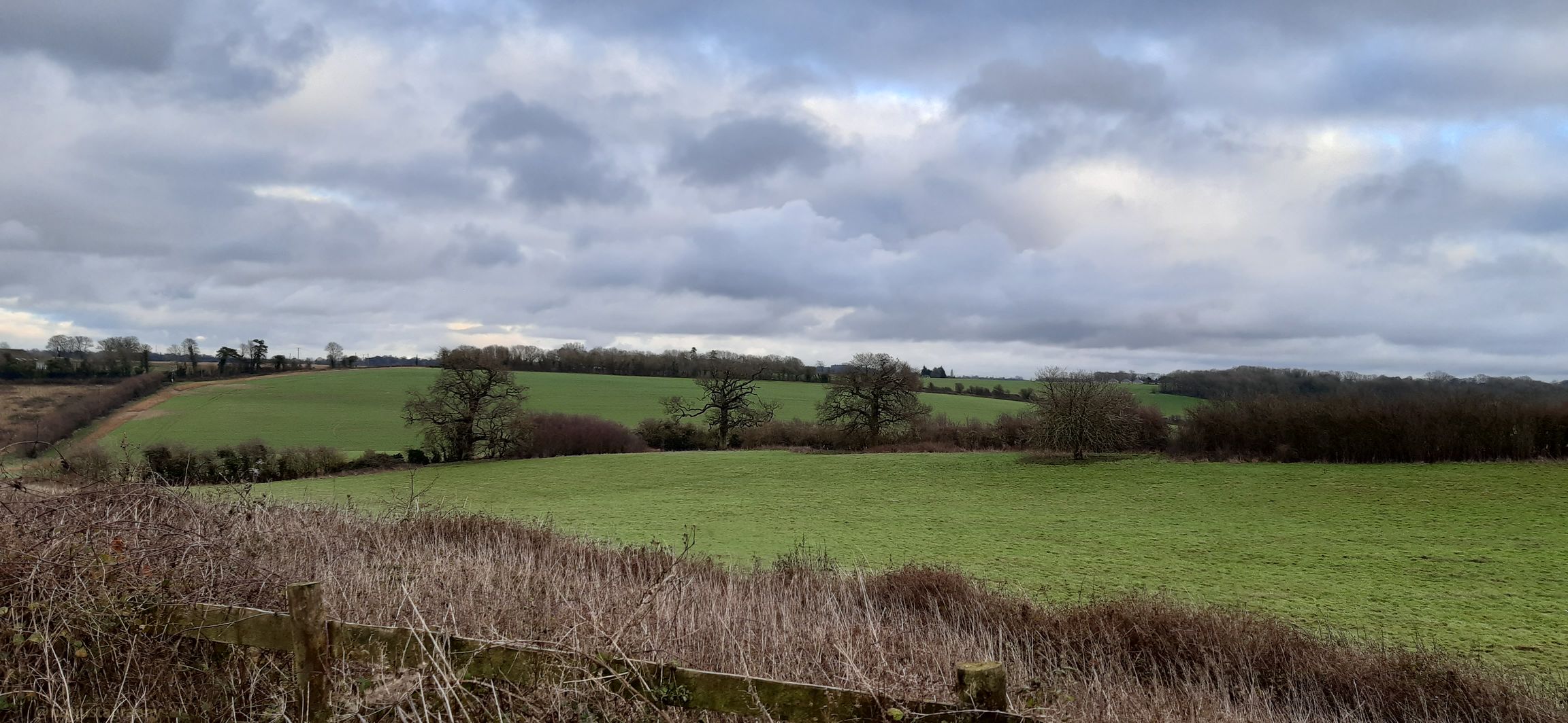
I’ve enjoyed several days exploring the lakes, the forest, the ice caves and seeing Mount Fuji with its perfectly shaped cone from all angles but today was the day for the final climb to the summit.

Shortly after leaving the 5th Station I reached a fork in the trail. To the right was the trek to Fujiko. Heading left, I soon arrived at the Komitake Shrine, named after old Komitake Mountain which is now buried deep beneath Mount Fuji. The Shrine is important to many worshippers who each year on 1 July attend the Kaizansai festival and celebrate the opening of Mount Fuji.

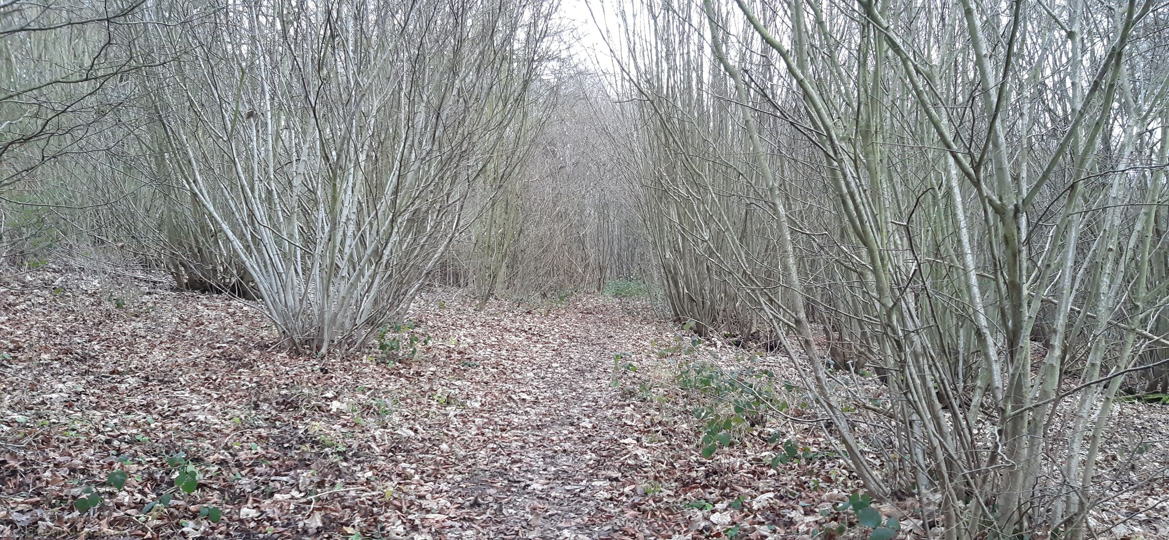
From here to the 7th Station the trek weaved its way through a shady and dense forest. On hot summer days the forest provides a welcoming relief. The path itself was narrow and rough with rocks jutting out and tree branches stretching across the pathway. As with any climb sure-footedness was essential alongside some duck and weaving around branches. There were trail sections resembling carved out channels instead of just flat paths. I can imagine on foggy days this trail would be quite challenging with low visibility and for those who climb at night in order to catch the sunrise at the summit could run the risk of getting lost if not careful. Thankfully ropes line the route providing guidance and assistance up the mountain. Occasional openings in the forest canopy gave me glimpses of Fuji’s peak, like small teasers of what is yet to come.

Leaving the forest zone behind, there were no more trees, just very low shrubs with small white flowers. The ground became more rocky and gravel-like, making it looser underfoot. It makes me realise that although Mount Fuji is not a technically difficult climb, it does however, present its own set of challenges such as a sudden change in weather, the steep inclines, long switchbacks and more importantly the potential for altitude sickness because the oxygen density is only two-thirds of the normal oxygen thereby making it more difficult to breathe.

I forged my way onto the 8th Station where my trail merged with the very popular Yoshida Trail. As expected it became quite congested. Taking a slow and steady approach it was time for the final push. The terrain here was barren, vegetation seemed non-existent.

I knew the summit was near when I made my way through the white Torii gate, which stood proudly on a set of steps signifying that “heaven on earth” is within my grasp.

Reaching the summit though was not the end, yet. The final part was a walk around the crater on the Ohachimeguri Trail. The crater has a 2,560ft (750m) surface diameter and a depth of 790ft (240m). With its jagged edge, the crater is encircled by eight sacred peaks, each with their own name: Oshaidake, Izudake, Jojudake, Komagatake, Mushimatake, Kengamine, Hukusandake, and Kusushidake.

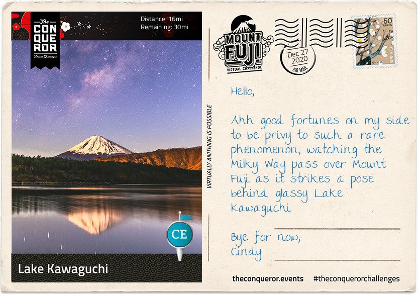
My quest ended at the Kusushi Shrine near the last station. Here I stood to absorb the aerial views, reflecting on my journey and contemplating my descent but that’s a story for another time.

On a final note, did you know that the top 1,312ft (400m) of Mount Fuji is actually private property? Here’s an online excerpt explaining how this ownership evolved:

“… belongs to Fujisan Hongu Sengentaisha, a Shinto shrine. The land originally belonged to Tokugawa Ieyasu, the founder of the Edo Shogunate (1603 – 1867), and the area of Mt. Fuji from the 8th station to the top is said to have been given to this shrine as a gift by the Tokugawa clan in 1779. The land was re-designated as national property for a time after 1871, when the Tokugawa Shogunate relinquished power to the Imperial Court, but has since been returned to the Fujisan Hongu Sengentaisha. The Hongu (Main Shrine) of the shrine is at the foot of Mt. Fuji, and the Okumiya (Rear Shrine) is located at the mountain peak.”

So there you have it, my 5 Stages of the Mt. Fuji Conqueror challenge. πŸ‘πŸ‘πŸ‘ I hope you enjoyed the journey, as well as all the information, and the amazing history linked to this iconic mountain…instantly recognisable. Who knew the top of Mt. Fuji was private property? πŸ€”πŸ€”πŸ€”

Hoorah!! 4 days to virtually ‘climb’ Mt. Fuji

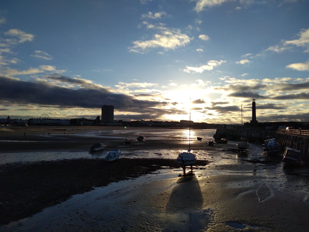
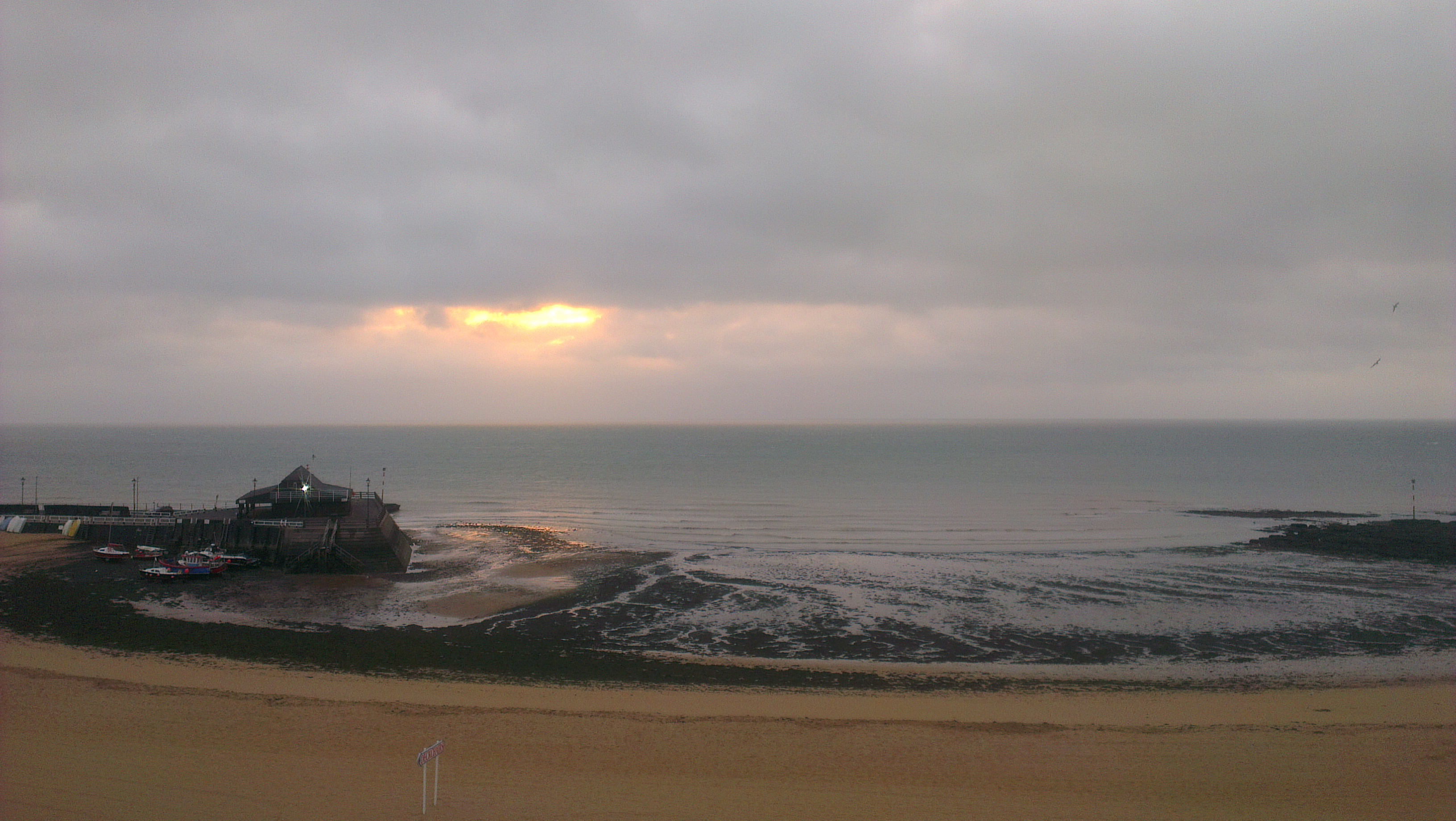
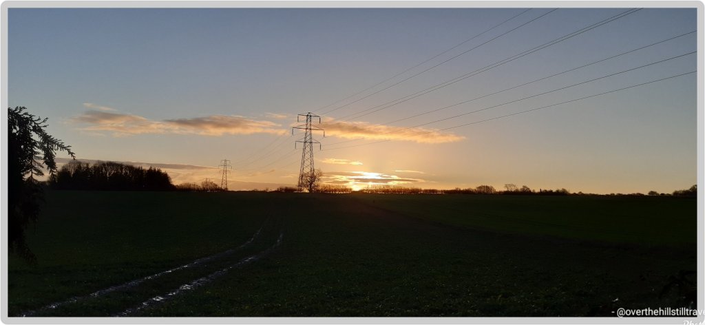
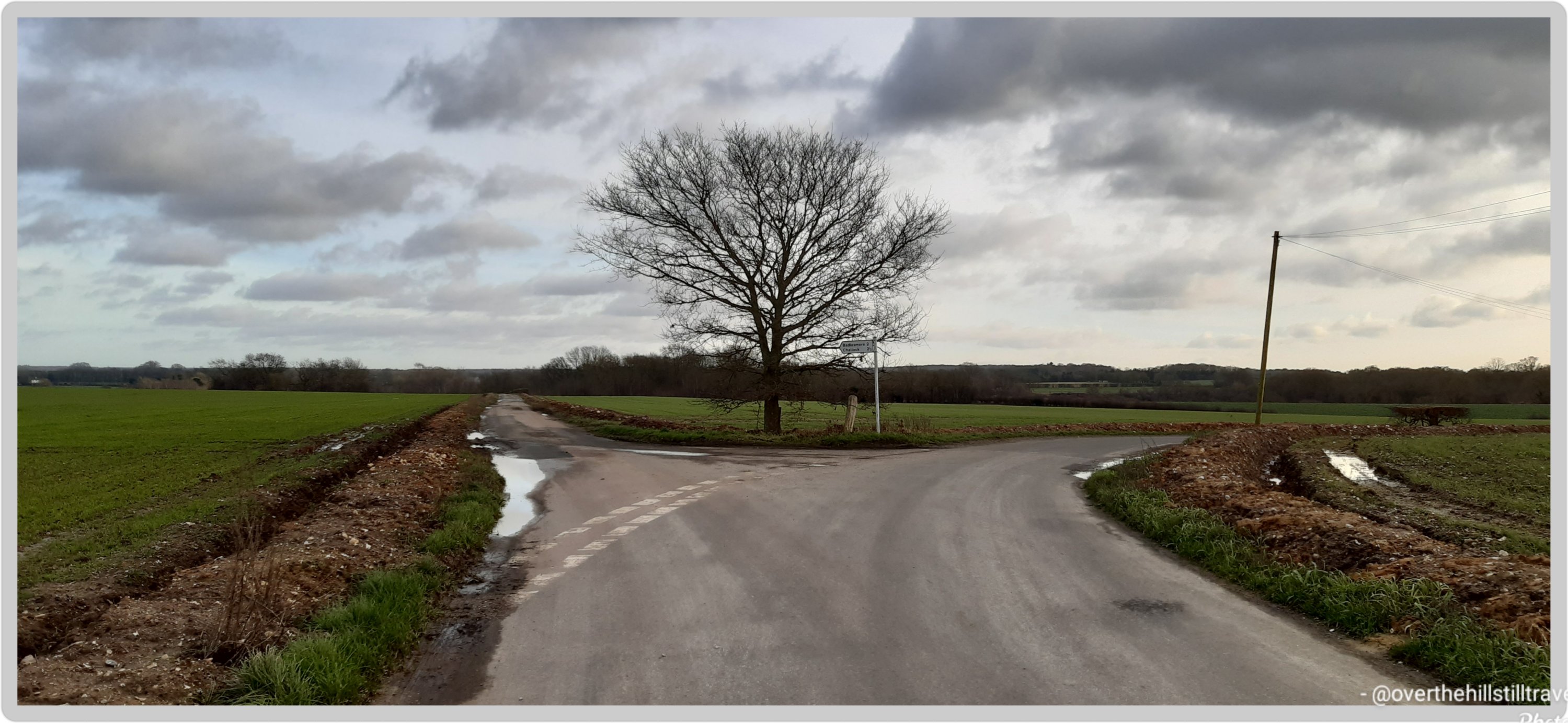
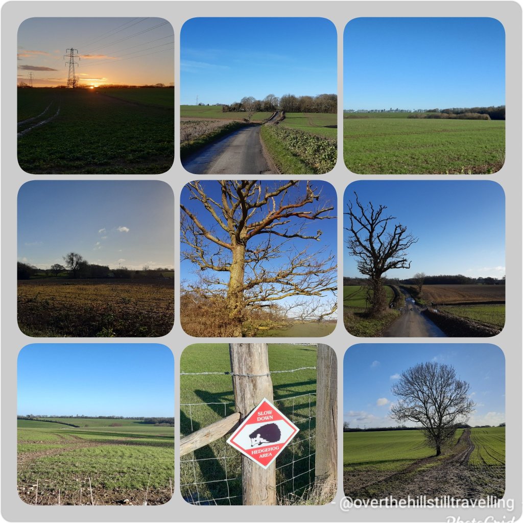
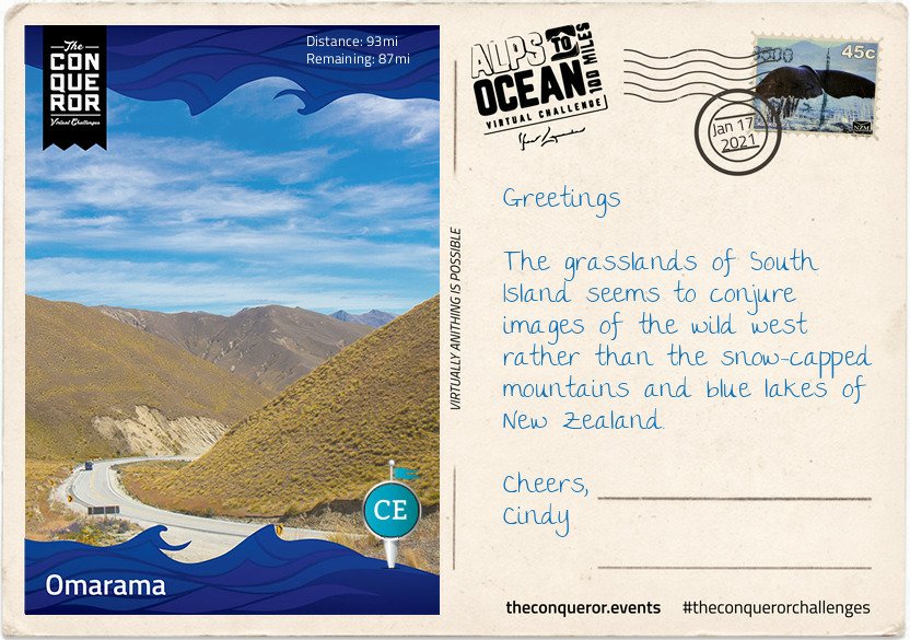
Immediately after finishing this challenge I got started on the Alps to Ocean challenge in New Zealand (289.7kms). Nothing like putting a bit of pressure on yourself then Cindy 🀣🀣🀣🀣 But of course, starting that challenge/walk is taking a wee bit longer to complete because not only is it much longer, but I started my next booking on 4th January and my free time is limited to 2 hours a day, weather permitting. Still, I hope/plan to finish the walk by 31st January.

Why not join me on one of the challenges https://www.theconqueror.events/r/CE1474 they are excellent motivation to get out and and walk, especially now that our wings are clipped by Covid-19 and lockdown.

Read Full Post »

The research proves to be as interesting as the walks πŸ˜‰ On receiving the postcards from the Conqueror challenge organisers, I usually set about investigating various aspects that are of interest. This usually takes me on another adventure altogether….😁😁

There are four trails to choose from to climb Mount Fuji. The most popular trail, Yoshida Trail, gets a whopping 150,000 climbers a year. Looking for more solitude and introspection I chose the less trodden trail called the Subashiri Trail, which sees an average 25,000 climbers per year. Where the Yoshida climb is from the north of the mountain, the Subashiri climb is from the east.

My target was to reach the 5th Station where the actual trail to the Summit really begins. Reaching the 5th Station can be made by vehicle but during the climbing season, which is July to September, private vehicles are prohibited from using the road. A shuttle buses services the area ferrying climbers from the base of the mountain to the station.

The ascending route to the 5th Station started at the Subashiri Sengen-jinja Shrine which was tucked away amongst giant pine trees. According to legend the shrine was built in 807AD and although it was damaged during the 1707 eruption, it was rebuilt in 1718. Followers of the Fuji-ko religion, a fusion of ancient Japanese mountain worship and Buddhism, congregated at this shrine to commence their pilgrimage to the summit. They continue to do that today and are usually seen dressed in white robes and carrying pilgrims’ staffs.

Heading southwest, just before the Subashiri turn off, was a monument commemorating Prof Frederick Starr. He was a New Yorker who in the late 19th century took up a position as professor of anthropology with the University of Chicago. Upon request to undertake field work in Japan circa 1909, the Professor would eventually become a “student of Japan” visiting the country 15 times in his lifetime. He had a deep love of Mount Fuji having climbed it five times. His ultimate wish was to be buried in a place where he could always see Mount Fuji. In his words: “By climbing Mount Fuji, I found heaven on earth”.

The road up to the 5th Station was a gently sloping, straight section with a beautifully manicured tree-lined road. Two miles (3km) in the landscape morphed into tall, dense pine trees until the road took a sharp, left turn and continued in a zig-zag fashion for the next 5mi (8km) up to the station. Halfway up the zig-zag the trees changed again taking on a rugged appearance indicating the kind of forest trail I will be travelling through on part of my climb.

The 5th Station is far less developed than the Yoshida Trail with limited amenities and shops, however near the main trail was a short hiking trail to a small peak called Kofuji (Little Fuji). Kofuji is a secondary peak that formed on the side of Mount Fuji and stands at 6,492ft (1,979m) tall. Access was via a nature trail through the forest. A twenty minute walk, I eventually emerged onto the peak of Kofuji. It was a large, long, oblong clearing with a beautiful 360 degree view of a lush forest, the peak of Mount Fuji to the west, Lake Yamanaka to the east and Fujiyoshida city to the north.

I wonder, if by doing these walks… will I too find ‘heaven on earth’? And if not in Japan, then certainly the varied scenery on my walks around the UK, which astounds me every time I watch a programme about Scotland, or the many famous islands, or the Lake District and Yorkshire Dales…..

Why not join me on one of the challenges https://www.theconqueror.events/r/CE1474 they are excellent motivation to get out and and walk, especially now that our wings are clipped by Covid-19 and lockdown.

Read Full Post »

One of the benefits and downfalls of being hooked up to the matrix is that you know where you’ve been, but ‘they‘ know where you are at all times, especially if you have your gps switched on, on your ever so ‘smart’ phone. Or have the various walking apps like mapmywalk turned on.πŸšΆπŸ»β€β™€οΈπŸšΆπŸ»β€β™€οΈπŸšΆπŸ»β€β™€οΈπŸ˜―

Personally I think our phones have been sneakily hooked up to all those big brother cameras dotted around every street corner, in every city, town and village….its creepy.

Its also quite useful for when your memory starts fading and you think “where was I?” Imagine how useful it would be if you’re one day considered to be a suspect of ‘foul play’!! If the arresting officer asks you “where were you at 1.30pm on Saturday 13th December 10 years ago. Wtaf!! They actually expect me to remember πŸ€”πŸ€”πŸ€” But, if you had Google you could protest your innocence and say “Uh uh, Officer, I wasn’t there….here look at mapmywalk, that’ll tell you exactly where I was”. Of course that wouldn’t be useful if in fact you did commit a foul deed, and were as guilty as sin!!! πŸ˜‚πŸ˜‚πŸ˜‚πŸ€­ then you’d want to lose that app pdq πŸ€ͺπŸ€ͺ

But, be that as it may, one of the benefits is that from time to time Google photos sends me a notification to remind me of where I was either 2 years ago or three!! A bit like Facebook memories, which I don’t use. I’m not a fan of Facebook 🀫🀫🀫

So anywayyyy, yesterday I got a pop up to say “this is where you were”

2 years ago : Broadstairs looking towards Stone Bay
2 years ago: Heading towards Margate
3 years ago: Margate harbour

How cool is that!!

Seems I walk this route quite frequently 😁😁 Lucky me, it is a gorgeous section of the English coast.

Read Full Post »

One of the most positive aspects for me, doing these challenges keeps me moving towards my goals…as soon as lockdown is lifted I’m finalising my plan to walk The Thames Path. They give me something to dream about, and think about when I’m working, and help to relieve the many boring hours where I’m just cooped up and not walking. Once again I thank my daughter for introducing me to the challenges….

Just over halfway and I made it to Lake Yamanaka, the largest and the last of the Five Lakes. The lake is the only one of the five with a natural outflow, draining into Sagami River. Yamanaka is a popular recreational site for all types of watersports, boating, fishing and around the lake there are restaurants, parks, a small teddy bear museum and even a waterpark.

Back in 1985 aquatic adventurer Lynne Cox, was the first woman to swim across all Five Lakes. A long-distance open water swimmer, as part of her Swim Around the World in 80 Days quest, Lynne undertook a series of swimming challenges of which the Five Lakes was one of them. She is most famous for achieving the first diplomatic swim across Bering Strait (1987) and being the catalyst at opening the US-Soviet Border for the first time in 48 years, accomplishing the swim in 2:06hrs in 38Β°F (3Β°C) water.

There are several parks around the lake but Hana no Miyako Park is a wonderful 74 acres floral park. Every season is a kaleidoscopic display. Imagine tulips in spring; cosmos, zinnia, blue salvias or a field of sunflowers in summer; orange-red-russet colours of autumn; and whilst the soil is resting in the winter preparations are made for spring in the greenhouse.

Grapes are also harvested here to create Koshu wine, a white wine variety. Koshu wine is described as soft, fruity and aromatic with citrus overtones and considered a good match for Japanese cuisine. Yamanashi the prefecture that this Park sits within had the first proper winery established in the late 19th century. Locally grown grapes grew dramatically by the mid-late 20th century, so much so that more than 80 wineries can now be found in Yamanashi, producing 40% of Japan’s domestic wine.

On a clear day Mount Fuji majestically reflects off Lake Yamanaka but right now I am more excited about finally starting the climb up the mountain.

However, before I go here’s a final story. It’s of Kakozaka Shrine that is on the way to the trail. The shrine is dedicated to Lord Fujiwara (Hamuro) Mitsuchika. In the early 13th century the retired Emperor Go-toba had his political manoeuvres blocked by the Kamakura shogunate. Wanting the power he believed was rightfully his, he conspired to overthrow the shogunate by gathering his allies. Lord Hamuro it seems, presented himself to the Emperor ahead of expected time, seeking an audience that was denied. He then decided to write a proposal on how to pursue the regent of the shogunate. The conspiracy was leaked to the shogunate who then launched an offensive and crushed the opposition with the force of his army. Unfortunately Lord Hamuro was captured and executed for his role in the conspiracy. His grave near the shrine has been protected by the people of Subashiri and a memorial service is held every May.

Seems like a good time to go then…in May. Could combine the cherry blossom time with the walk. Apparently the best time to visit is between March-May. I could go for my birthday in April, do the walk and attend the memorial service

Why not join me on one of the challenges https://www.theconqueror.events/r/CE1474 they are excellent motivation to get out and and walk, especially now that our wings are clipped by Covid-19 and lockdown.

Read Full Post »

Hot on the heels of Stage 1, I received the next postcard. Stage 2 completed and may I say wowww, the history is just amazing. I wish they’d taught us this in school. I would have gone walking rather than marrying….

Lake Kawaguchi is the second largest of the Five Lakes and has the longest shoreline of 12mi (19km). It is a popular holiday destination with well-developed resort facilities.

My hike along the southside of the lake began at Koumi Park, a sprawling green space with a narrow promenade, not particularly obvious but nicely maintained, near the shore that led to Shikkogo Park a mile away. Along the way I came across the literary monument of Junichiro Tanizaki, a popular novelist of the mid-20th century. The monument is in the form of an open book with a passage from one of his works carved in his handwriting.

I reached a cape-like place called “Sakuya Aino Kane” which translates as Sakuya Bell of Love. Near the tip of the cape is an arched structure about 13ft (4m) high with a bell hanging in the centre of it. Installed by the city of Katsuya in 2002, the arch was named after “Konohana Sakuyahime” the Shinto goddess of Mount Fuji. In Japanese mythology Sakuyahime is depicted as a blossom-princess in the image of the sakura (cherry blossom) and a symbol of delicate earthly life. It is said that if you ring the bell once love will come true and if you ring it twice your wish will come true. Of course I couldn’t pass it by without ringing it at least once or maybe twice.

Veering off the promenade, I visited Fuji Omuro Sengen Shrine. The original shrine was built around the 9th century on Mount Fuji. Due to the mountain’s frequent eruptions, it burnt down and was rebuilt many times. The current shrine was built on Mount Fuji in 1612 by Torri Naritsugu but in 1974 was moved to its current location for future preservation.

Naritsugu was a member of the Torri Clan, a samurai family and loyal retainers of the Tokugawa Shogunate (dynasty) from the 15th – 19th century. In 1600AD, his father Mototada changed the course of Japanese history when he refused to surrender Fushimi Castle to an oncoming enemy. With a garrison of 2,000 men, he fought valiantly against an army of 40,000, until he was the last man standing. As was custom rather than being taken alive, Mototada performed seppuku (suicide). This final stand gave his Shogun Tokugawa Ieyasu (commander-in-chief) sufficient time to escape. Ieyasu went on to raise an army of 90,000 and successfully won the Battle of Sekigahara, resulting in the unification of Japan and a ruling dynasty for the next 268 years.

Set within a dense old forest at the base of Fuji is “Kitaguchi Hongu Fuji Sengen” shrine complex. Covering 24 acres, the complex is one the largest forest shrines in Japan. The first shrine was built more than 1900 years ago when Yamato Takeru on an expedition to the east came across Mount Fuji and began worshipping Konohanasakuya-hime, Goddess of Mount Fuji. When the Edo Period (17thC) began Fuji-ko (Mount Fuji religion) spread and worshippers would begin their pilgrimage up the mountain from here using the Yoshida Route, one of four trails to the summit. Around the main shrine, trees were selected in each corner to designate the border of the area. About 1000 years old, only three trees remain today. With girths measuring 75ft (23m) the trees are believed to protect the shrine and are classified natural monuments.

Yamato has an interesting story or perhaps more like a legend himself. Born around 72AD he was the second son of Emperor Keiko, the first being his twin brother. He began his military career by first murdering his brother, simply because the Emperor was dissatisfied with his brother for failing to have his meals with the imperial household. At 16 Yamato was sent to quell a rebellious tribe. He succeeded by infiltrating the tribe dressed as a housemaid with a hidden holy sword, one of three Imperial Regalia. Upon his return home, the Emperor sent him on another mission. With his wife in tow, Yamato needed to cross the sea but a storm was hindering the voyage. His wife sacrificed herself to the sea in the hope the storm would die down and according to legend it did. Seven days later her comb washed ashore and a tomb was built around it. Yamato proceeded with his campaign and when the rivals saw his approach they surrendered immediately. Yamato never arrived home. He died of exposure at the age of 30. His aggrieved father built a mausoleum where his son died and it is believed that his soul transformed into a white bird and soared to Heaven.

Truly, reading this makes me want to just go….to Japan and walk the route. And talking of cherry blossoms, that’s something I’ve so wanted to see….so, maybe!! β˜Ίβ˜ΊπŸŒΈπŸŒΈπŸ‡―πŸ‡΅

Why not join me on one of the challenges https://www.theconqueror.events/r/CE1474 they are excellent motivation to get out and and walk, especially now that our wings are clipped by Covid-19 and lockdown.

Read Full Post »

The problem I have with the Conqueror Challenges is that the routes are so amazing, it makes me want to do the walks in real time, and not just virtually. So to that end, I’ve added them to my list of ‘walks I want to do before I die’ and πŸ™πŸ™πŸ™ the Universe is listening and provides a sponsor so I can go walking instead of working 🀣🀣🀣

I actually completed the Mt. Fuji virtual challenge in 2020, but as usual I got distracted by other walks and places and forgot to share them….so here’s the 1st stage. I’ll post the next few stages over the coming days. I love the information that comes with the postcards and find them absolutely fascinating.

I started the Mt. Fuji challenge on 26 December, immediately after finishing the Great Ocean Road Australia challenge, and because I was not working, managed to complete the challenge in a few days…chop chop as they say.

When I decided to hike Japan’s tallest mountain, Mount Fuji, I pondered the best route that would capture its culture and spirit whilst travelling through its lush green landscape. The result was a 46mi (74km) journey starting at the base of the mountain, leading past lakes, caves, temples, shrines, dense forestry and ending with the final climb to the summit.

Mt. Fuji virtual challenge

Mount Fuji is one of three holy mountains in Japan. At 12,388ft (3,776m) tall, Fuji sits atop a triple junction trench where three tectonic plates meet. Although geologists classify it as active, Fuji is a dormant volcano that last erupted in 1707. At the base it is surrounded by the Fuji Five Lakes which were formed by previous eruptions damming up the rivers with the lava flows.

Mount Fuji is a composite of four successive volcanoes meaning it’s made up of layers. The first two layers were the result of an eruption more than 700,000 years ago known as Sen-Komitake and Komitake Fuji. The next eruption, about 100,000 years ago, engulfed Komitake Fuji and added the second layer creating Old Fuji. The third eruption about 10,000 years ago formed New Fuji and the summit zone producing the near perfect conical shape we know today.

Recognised as a sacred place and considered a symbol of Japan, Mount Fuji is a pilgrimage destination for practisers of Shinto. Each year between July and August, up to 400,000 tourists and pilgrims make the long trek to the summit. In 2013, Mount Fuji was added to UNESCO’s World Heritage List.

Dotted throughout Japan are Shinto shrines and Torii gates. Shinto is the indigenous faith of the Japanese people and the shrines are places of worship and homes of the Kami (Gods). Practitioners come to pay their respects to the Kami or pray for good fortune. The entrance to a shrine is marked by a gate known as Torii and they symbolise the “transition from mundane to sacred”. To enter through a Torii, one enters the world of the Kami (Shinto Gods).

I began my hike at the Yama Shrine near Lake Motosu, one of the Five Lakes. The third largest and deepest of the five lakes, it is subteranneously connected to Lake Shoji and Lake Saiko. Originally one lake, these three lakes were divided by one of Mount Fuji’s enormous lava flows. The water temperature on Lake Motosu never drops below 39 Β°F (4Β°C) and as such it is the only lake of the five that never freezes over winter.

Northward bound, I passed by Lake Shoji, the second and smallest of the Five Lakes. On the left side of the lake you can still see large remnants of the lava flow jutting out of the water. With a greenish hue due to algae and rich in nutrients including plankton, locals can be seen standing on the lava rocks fishing.

My final stop for today was Lake Saiko, the third of the Five Lakes. With no natural outflow an artificial channel was made to connect it to Lake Kawaguchi. Lake Saiko’s banks borders the Aokigahara Forest which I will write about in my next letter.

Don’t you think that’s fascinating? There’s so much to learn about this fabulous world of ours.

Why not join me on one of the challenges https://www.theconqueror.events/r/CE1474 they are excellent motivation to get out and and walk, especially now that our wings are clipped by Covid-19 and lockdown.

Stage 2…to follow shortly.

Read Full Post »

When we first moved to the coast in 2016, travelling from London to Broadstairs on the train, past all the stations enroute, I remember being intrigued by the places behind the names, and excited about the possibility of exploring them all….and that was only those north of my destination. I subsequently discovered many more, south of Broadstairs.

sunrise over Viking Bay, Broadstairs

I have since then been to all of the seaside towns, either by train or when out walking the coastline, as well as to many of the more inland places. They are all awash with centuries of history, and many of these villages, towns and the City of Canterbury, are mentioned in the 1086 Domesday Book. It is just phenomenal and I am constantly in thrall to the many layers uncovered during my research.

Faversham, along with Broadstairs, Canterbury, Sandwich and Dover are my favourite places to go….castles, Saints, Normans, Vikings, abbeys, a cathedral, ancient churches, historic houses, medieval houses, famous people and royal visits and tales of smugglers – who could resist!!

chalk cliffs kent, the tartar frigate pub broadstairs, walks of england, coastal walks of england
a network of smugglers tunnels wind their way below ground in Broadstairs

I first met Faversham on my Chaucer’s Canterbury Tales walk in 2017 (as mentioned in a previous blog), and although the memories are of blistered feet and muddy shoes, I still have fond feelings for the place 🀣🀣

So since I mentioned it briefly yesterday, I thought I should expand on that and tell you more about this ever so fabulous and famous town, a town that missed out on being a city thanks to a small detail….it doesn’t have a cathedral (or a castle for that matter). Oh the semantics…

Faversham; Old English origin, meaning “the metal-worker’s village” lies next to the Swale, a strip of sea separating mainland Kent from the Isle of Sheppey in the Thames Estuary. There has been a settlement at Faversham since pre-Roman times, next to the ancient sea port on Faversham Creek, and was inhabited by the Saxons.

One of Henry VIII’s boats perchance??

Fefresham was held in royal demesne in 811, and is further cited in a charter granted by Coenwulf, the King of Mercia. Coenwulf described the town as ‘the King’s little town of Fefresham’, while it was recorded in the Domesday Book as Favreshant.

Mentioned as Favreshant in the 1086 Domesday Book, Faversham was noted as : King’s land, with 2 salthouses, a mill and a market; a market town and small port.

Faversham was used as a summer residence by the Kings and Queens of Kent, and has many other royal connections; Stephen (1092 or 1096 – 25 October 1154), often referred to as Stephen of Blois, was King of England from 22 December 1135 to his death in 1154 and was buried in Faversham Abbey. However, during the Dissolution of the Monasteries in 1538, most of the abbey was demolished, and the remains of Stephen were rumoured to have been thrown into Faversham Creek along with his consort and son who were buried with him. Subsequent excavations revealed empty tombs when they were opened.

Abbey Street was constructed around 1201 in order to provide an appropriate approach to the abbey from the town, and still houses timber framed buildings; described as “the finest medieval street in southeast England”.

Medieval buildings in Abbey Street

A royal visit by Queen Elizabeth I in 1573

Location of the Guildhall during Elizabeth I’s reign
Current Guildhall – built as a market hall in 1574 by the people of the town and nearby parishes, converted into the Guildhall in 1605

Faversham was established as a link arm to the Confederation of Cinque Ports as the (Limb of Dover).

The Shippe Inn

Other famous people linked to Faversham (besides me, that is πŸ€£πŸ€£πŸ€£πŸ˜‰)

Richard Arden, a 16th century mayor, was murdered by his wife and her lover. Nice πŸ€ͺπŸ€ͺπŸ€ͺ

There are some fantastic buildings surrounding the market place

Faversham also lies on the old Saxon Shore Way route between Gravesend on the river Thames near City of London and Hastings on England’s south east coast and known for the ‘Battle of Hastings’ which is when William the Conqueror defeated King Harald in 1066. William the Conqueror is responsible for the ‘Great Survey’ of England; the Domesday Book completed in 1086.

The Saxon Shore Way, a long-distance footpath of 163 miles in England, starts at Gravesend and traces the coast of SE-England as it was in Roman times, as far as Hastings in East Sussex. There are a couple of places where the route runs inland; around what was the Isle of Thanet – once separate from mainland England by the River Wantsum, and again on the south coast past Folkestone.

That’s us, the island on the right πŸ˜ƒπŸ˜ƒ

Some 5,000 years ago Thanet was separated from mainland Britain by 600 metres of sea – The Wantsum Channel, it is now connected again since the river/channel silted up some time ago.

When the English Channel was formed by the sea breaking through, an island of chalk was left on the east side of the county – now known as the Isle of Thanet.

The Wantsum Channel today

The SSW follows the creek inland from The Swale and into Faversham and then back out again from the opposite bank and once again follows The Swale and into the Thames river at Gravesend. Since I’ve already walked so many sections of the SSW on my various walks, it makes sense for me to actually do the whole route…one day LOL I mean it’s not like I don’t have about 100 other walks to do and I have LOADS of time on my hands ….as if 🀣🀣🀣

Faversham is located on the main road between the City of London and Dover and therefore became an important stop over for travellers between the Port of London and the Port of Dover. As a result of this inns were of paramount importance and today you can see and stay at one at least one such…The Sun Inn. Seriously one of my favourite ‘places I stayed’ on my many walks. It had everything I needed after arriving drenched and in pain. A massive double bed, a huge bath and fluffy white towels. Perfect.

the sun inn faversham
The Sun Inn, Faversham – best room and bath ever
The Sun Inn, Faversham - Day 3 Rochester to Faversham
The Sun Inn, Faversham – Day 3 Rochester to Faversham

Faversham truly is awash with history and I could write up so much more, but this is already quite a long post, so for now I’ll just add one more photo

history of faversham
historic buildings of Faversham

Okay, make it two photos LOL – the architecture is so varied that if you’re a fan of architecture you could spend the whole day walking around and still find more to see

architecture in faversham
architecture in Faversham

I’m sure to visit Faversham again when I start the next section of my insane intention of walking the entire English Coast and of course the Saxon Shore Way….now that my interest has been well and truly piqued. I’ll tell you more about it then…meanwhile…

Thanks for dropping by and taking the time to read about my adventures, I really do appreciate your time and support. Have a fab day/afternoon/evening wherever you may be in the world. 🌍🌎🌏

In case you’re interested: more about my Canterbury Tales Walk from Southwark Cathedral to Canterbury Cathedral (p.s. please don’t feel obliged to read any of them, it’s just in case you’re interested).

https://notjustagranny.co.uk/2011/02/20/the-start-of-my-pilgrims-journey-in-the-footsteps-of-chaucer/

https://notjustagranny.co.uk/2017/07/06/the-prelude-southwark-to-canterbury/

https://notjustagranny.co.uk/2017/07/07/prelude-day-1-southwark/

https://notjustagranny.co.uk/2017/07/09/prelude-day-2-southwark-and-the-city-of-london/

https://notjustagranny.co.uk/2011/03/10/my-canterbury-tales-12th-february-day-1/

https://notjustagranny.co.uk/2011/03/26/my-canterbury-tales-february-13th-day-two/

https://notjustagranny.co.uk/2017/08/03/arriving-in-rochester/

https://notjustagranny.co.uk/2017/08/08/day-3-rochester-to-faversham-part-1/

https://notjustagranny.co.uk/2017/08/09/day-3-rochester-to-faversham-part-2/

https://notjustagranny.co.uk/2017/08/14/faverham-to-canterbury-the-finale/

Read Full Post »

Its been a funny old week with grey overcast days, a rainy day not fit for ducks, and of course snow!! πŸ˜πŸ˜β„ and today’s gorgeous sunshine.

Despite the weird weather I have managed to get out on a few walks and extended my horizons by going off in different directions….the problem of course is that the roads are so long, I have to walk for ages to reach an intersection, and there’s no such thing as “gosh I’m tired, let me head back” because the distances are so great there is no quick way to get back – you just have to keep traipsing along.

As for the scenery, beyond the few scattered hamlets, it’s mostly wet, muddy, grey/brown farm fields with a few copses of trees dotting the landscape. But I have enjoyed stretching my legs and hearing nothing but birdsong and the baaing of sheep, encountering minimal traffic as I go…..on Friday I walked for 70 minutes before encountering a car, and that was well timed (not really) – I was 2 thirds of the way around a huge puddle of the water that covered the road from one side to the other, making my way gingerly along the verges, hanging onto barbed wire fencing and precariously positioned wooden posts, when I heard the sound of an approaching car. 😱😱😱 wtf, you’re kidding me!!!

two-thirds of the way around on the r/h side just before the tree…I heard a car

With utter dismay I turned towards the sound and prayed that is wasn’t some young buck who thought it would be fun to drive through at speed and drench the old lady πŸ‘΅πŸ» hanging on to the fence for dear life. Thankfully it was another little old lady πŸ‘΅πŸ» and she drove sedately through the puddle leaving small waves in her wake, and me dry!! I thanked her as she drove by! 😁😁😁

Another place that looked enticing was Belmont House and it played host to my visit on Tuesday. A good 2.2 miles from my current location, it took me 35 minutes to get there, which shaved 7 minutes off google’s eta. If I don’t dilly dally too much, its amazing the places I can go.

Belmont House and Gardens located in the Throwley area of Faversham on the rolling North Downs of Kent. The 18th century house was designed by Samuel Wyatt in the neo-classical style, built in 1769 by Edward Wilks – storekeeper at the nearby Faversham Powder Mill, and enjoys a stunning view over the estate and the downs. The estate is made up of house, gardens, cricket pitch, orchards, farm and woodlands…over 3,000 acres. Belmont has an extensive history and the Lords Harris served as soldiers and colonial governors. The house is distinguished for the collection of clocks created by the 5th Lord Harris. Needless to say I didn’t get to see any of these, except for the clock tower, and the house is covid-19 closed. blergh. Maybe I will return at some stage to this booking and perhaps the house will be open then.

3 o’clock and all is well…πŸ˜‰

Meanwhile, my walks have taken me as far as I can go and some days I’ve gotten back just within my allotted break time of 2 hours. Of course if I had more time…..who knows where I could go!!

I’d love to walk to Ospringe, but that’s just a tad too far for 2 hours – I still have to get back

It wouldn’t however be across the fields along the footpaths…since not only do the farmers rudely put up electrified fencing as close to the path as possible, making it difficult to access, but atm the paths are just gloopy sticky muddy horrors. I know, because I foolishly walked along not one, but 3 paths last week – on the sameday😝😝. My shoes were sluggish with sticky mud.

We experienced some icy cold weather that caused the ponds and puddles to freeze over…

Ice at least half inch thick

But oh the views!!!!

And this always makes me smile

πŸ˜ƒπŸ˜ƒπŸ˜ƒ

Today I woke to a fabulous sunrise and blue skies, that developed into a beautiful morning.

So beautiful in fact that I asked my client if I could beg an extra hour and go for a walk before the weather turned.

Country roads…
All the way to the sea…
Fields of green

And a good thing I did too, by 2pm the clouds had blown in and once again it was grey….but we had a lovely sunset

And blow me down if once again I didn’t get caught out, no, make that twice!! No cars at all for well over an hour in all directions, yet just before I reached the flooded corner a car came whizzing down the road from behind me and sent waves of water flying through the air. Well, that’s done I thought, I should be safe now….hah! Once again, as I was about halfway round along comes another car, from the opposite direction. I scurried into the field through a gap in the fence and waved them on…waited for the water to settle and hurried the rest of the way round before car number 3 came by. None did πŸ€ͺπŸ€ͺ

This puddle and I have history 🀨🀨🀨

And so endeth week 2 in Throwley. I think I have pretty much exhausted the area and shared plenty images of just about everything you could hope to see, so for the next week I shall concentrate on bringing my Pilgrim’s Way posts up to date, as well as the walks along the English coast. I will of course still do as many walks as I can.

I’ve accumulated 38kms this week and had 2 non walking days. Not too bad.

Read Full Post »

After a brief walk this morning, to stretch my legs and get some fresh air after being indoors yesterday due to icy roads after the snow, I updated my kms to the Conqueror Challenge app and voila, another postcard arrived into my mailbox πŸ˜πŸ˜πŸ˜πŸšΆπŸ»β€β™€οΈπŸšΆπŸ»β€β™€οΈπŸšΆπŸ»β€β™€οΈ I get really excited when these cards arrive…its fun to see where I’ve been travelling virtually while walking in reality.

So stage two:

Having left the alps and peaks behind, the town of Omarama marked the halfway point of my journey. Although a small rural town, mainly a service centre for locals and nearby residents, Omarama had a few surprises up its sleeve.

Disney’s 2020 movie release of Mulan was entirely shot in New Zealand with scenes filmed at the Clay Cliffs just outside of Omarama.

In 2009, NZ pilot Terry Delore set a new world record in his 87ft (26.5m) wingspan glider. Taking off from Omarama, Terry travelled 1,491mi (2,400km) up and down NZ for 15 hours reaching speeds of up to 93mph (160kph) before landing back in town. Omarama has strong gliding conditions making it a popular destination for gliding pilots. Omarama hosted the 1995 and 2007 World Gliding Championships of which Kiwis took first place in the 1995 open category and third place in 2007.

For the weary soul like myself, a Hot Tub soak the night before to rejuvenate my muscles and unwind was just what I needed. The Hot Tub was located outside in a private setting within a tussock and rock landscape. The tub was filled with fresh mountain water without any chemicals added. The business reuses the water for irrigation. A submersible firebox allowed me to adjust the water’s temperature. As I settled in, I watched the Milky Way appear and spill across the night sky with its millions of stars.

Eastward bound, I left Omarama refreshed and ready to tackle the next half of the journey. The trip was relatively easy and short when compared to previous days. The first half of the trail was off-road running parallel to the State Highway on the right. Crossing at Chain Hills to the left of the highway I began my descent alongside Lake Benmore, the largest artificial lake in NZ.
Lake Benmore was created in the 1960s as part of the Benmore Dam construction. The lake is split into two arms. The largest is fed by three rivers, Tekapo, Pukaki and Twizel plus the Ohau canal with Waitaki River flowing right through the lake, whereas the smaller arm is fed by Ahuriri River.

It is this smaller arm that I travelled along to Pumpkin Point, a grassy beach area, for a break and a splash in the lake, then onto Sailors Cutting where the off-road trail terminates and I join the highway for the rest of today’s trip. Not the most relaxing part of the journey as I braved the high-speed highway with an upward climb to Otematata Saddle. The views of Lake Aviemore and the valley beyond was a lovely compensation until I continued on the busy highway downhill all the way into Otematata.

Hmmm. The more I’m reading about this, the more I’m thinking I should add this route to the itinerary for my pending trip to Australia in a few years time. I’ve included a trip to NZ but only to visit the main attractions as well as a friend and her daughter (if she’s still living there at the time and not somewhere else in the world, as she is wont to do πŸ˜ƒπŸ˜ƒ). The route is approx 290kms and would take about 12-14 days to complete. πŸ€”πŸ€”πŸ€”

Where I actually walked this morning
Where I ‘virtually’ walked

If you’d like to join these challenges, here is my link https://www.theconqueror.events/r/CE1474 – I don’t get any money from anyone joining, but you get a discount and I get a discount on any future challenges. However, I’ve already signed up for 15 challenges (8 completed in 2020), so I think I need to put the brakes on for this year πŸ™ƒπŸ™ƒπŸ˜†

Read Full Post »

Really excited to receive my first postcard from my Alps to Ocean virtual challenge today.

Stage 1
Stage 1

I started the challenge on 30 December 2020 – I so enjoy reading the information that comes with the postcards; learning about places I never knew existed until I started these challenges.

I was 20kms ahead when I arrived at my current assignment on Monday but if course with limited time and 2 days a write off, I’m going to be hard put to keep up to speed πŸ˜‰πŸšΆπŸ»β€β™€οΈπŸšΆπŸ»β€β™€οΈπŸšΆπŸ»β€β™€οΈ I’m going to try get up to date with the blogging and postcards as well….so here goes.

Alps to Ocean, New Zealand

Imagine crisp alpine air, snow-capped peaks, glaciers, milky lakes and starlit nights. The training ground for Sir Edmund Hillary’s climbing skills in preparation for Everest. The legendary story of Aoraki and his three brothers. These are just some of the highlights of Mount Cook.

At 12,217ft (3,724m) tall Mount Cook is located on the South Island and the tallest mountain in New Zealand. It sits within the Mount Cook National Park which runs 37mi (60km) in a southwest-northeast direction. Home to more than 400 flora and fauna the national park is part of the Te Wāhipounamu South Westland World Heritage Site. The park is also home to 35 species of birds, including the only alpine parrot called Kea.

When I was looking into Mount Cook, I was wondering about the 98ft (30m) height discrepancy between different written sources. Further investigations revealed that in 1991 an avalanche of 350 million cubic feet (10MmΒ³) of snow and rock followed by twenty years of erosion had shrunk the mountain’s elevation by 98ft (30m).

Of the twelve largest glaciers in New Zealand, eight of them are within the park with Tasman Glacier being the longest at 15mi (24km). The glacier terminates in the Tasman Lake which up until the 1990s never existed. The lake was formed due rapid glacial melting whilst the glacier itself continues to recede annually by as much as 2,697ft (822m). It is anticipated that within a few decades the glacier will be completely gone and the lake fully formed.

The lake’s primary outflow is the alpine braided Tasman River which flows south for 16mi (25km) through the Tasman Valley and into Lake Pukaki. The glacier, lake and river were named after Dutch explorer Abel Tasman, who in 1642 was the first European to sight the northwest coast of NZ’s South Island.

My journey begins at the base of Mount Cook, northwest of the river. Needing to cross the river to connect to Rotten Tommy trail, I took a short helicopter flight. The aerial view of this glacially-fed river and Mount Cook was a sight to behold. From Rotten Tommy, I took a southward bound route alongside the Tasman River. Although part of the route was quite rough and I had to cross several creeks, eventually the track changed to gravel road and made it easier to navigate towards my first overnight stop. Being a clear and sunny day, I had the treat of seeing Mount Cook in the distance rising above the lower snow-capped peaks in the National Park.

Before I go let me tell you about the Ngāi Tahu legend. The story goes that once the “Gods existed in the midst of a great sea of nothingness” and Raki, the Sky Father and Pokoharua-te-po, his wife had four sons, all living in the heavens. Raki left his wife to be with Papatuanuku, the Earth Mother, and together they created the world. Aoraki, the eldest son of Raki, along with his three brothers came from the heavens with a canoe in an attempt to persuade their father to return to their mother. Upon seeing him together with his new wife, the brothers knew Raki would never return. The brothers decided to go home but unfortunately their canoe wouldn’t rise and following strong winds and rising seas, the canoe overturned tipping the brothers into the water. Climbing atop the upturned canoe they waited for help. As time passed with no help coming, they eventually turned to stone. The canoe became the Southern Island and the brothers became the Southern Alps with Aoraki (Mount Cook) being the highest peak.

So far along this challenge I’ve walked from Ramsgate to Faversham over a few days and 3.5 days in Throwley. I wonder where else my journey will take me!!

Read Full Post »

« Newer Posts - Older Posts »

Self Propelled

Self propelled adventures through life; blogging on cycling, touring, micro-adventures, general shenanigans, and environmental news

johnelsewhere

Thoughtful wanderer in search of virtual meaning

Things Helen Loves

UK and European Travel inspiration & life outdoors

Short Walks Long Paths

Wandering trails around the coast of Wales

Port Side Travel By Jill

My travels, photos, tips/tricks and anything else I think of!

Wonderwall

My 360: wonderwalls,theatre, travel, Sheffield, books...

Robyn's Ramblings

My Thoughts. Expressed.

Graham's Long Walk

Graham King's long walks around Britain

The Lawsons on the Loose

Philip & Heather are making memories through their travels.