Feeds:
Posts
Comments

Archive for the ‘cities and towns of the UK’ Category

Right then, after years and years of thinking about it, I’m now in the actual planning stages of walking the Thames Path – from sea to source.

Edit: 09/03 – I realized I should have titled this post as ‘Walking the Thames Path’, not river…I don’t have the right shoes for walking the river 😉

I mentioned in an earlier post that I was keen to walk it for my birthday; that comes up in April. So since the government have decreed (at this juncture), that from 12th April: UK domestic holidays away from home permitted….I’m off!! I’m also grateful to note that hairdressers will be opening too….I really need to chop my hair off, it’s working on my nerves, mostly because it has no style due to the fact that I HAVE been chopping it off for the last 15 months!! LOL

Anyway, back to the Thames Path. When I finally decided to do this walk, I bought the book and immediately started reading. Unfortunately the guide takes us from sea (almost) to source and not the other way around. So to that end (as mentioned in said earlier post), I have decided that I shall temporarily, purely to suit the occasion, reinvent myself as an adventurer who has stumbled across this great big river and want to find the source….a bit like Levison Wood except in reverse…and he of course explored the Nile….at 6,650kms, that’s a different kettle of fish (no pun intended). The Thames’ 346kms is just a Sunday stroll in comparison.

So, what is the River Thames!? According to Britannica: “River Thames, ancient Tamesis or Tamesa, also called (in Oxford, England) River Isis, chief river of southern England. Rising in the Cotswold Hills, its basin covers an area of approximately 5,500 square miles (14,250 square km). The traditional source at Thames Head, which is dry for much of the year, is marked by a stone in a field 356 feet (108.5 metres) above sea level and 3 miles (5 km) southwest of the town of Cirencester.

However, there is some dispute, and apparently, “some think a tributary, the River Churn, has a better claim to being the source; it rises near the village of Seven Springs (700 feet [213 metres] above sea level), just south of Cheltenham”.

Seven Springs features in the long-running argument over the true source of the River Thames. Two plaques at the site read “Hic tuus o Tamesine Pater septemgeminus fons” (Latin for “Here, O Father Thames, is your sevenfold spring”). Seven Springs is further from the mouth of the Thames than the medieval-preferred source at Thames Head near Kemble. In 2012 Coberley Parish Council posted a notice, on site, that “Seven Springs is certainly one of the sources of the River Thames and is held by many to be the ultimate source.” ref wikipedia

So, I guess I shall have to visit both…or shall I walk there? Hmmm. I think I’ll decide closer to the time depending on how footsore and weary I am after walking for 14 days – with a backpack. It’s an extra 33+kms which will add an extra 2 days to my journey, and the River Churn on google maps looks quite small, but after visiting google earth last night I determined that there are pathways pretty much along the whole length, barring a few farmers fields, some roads and a the odd house that appears to border the river….If I decide at the time to walk that extra 33kms (20.6 miles), then I’ll just go and deal with whatever confronts me when I get there – pretty much like I do on all my walks….just go! Of course that sometimes requires detours etc, but it’s the journey…

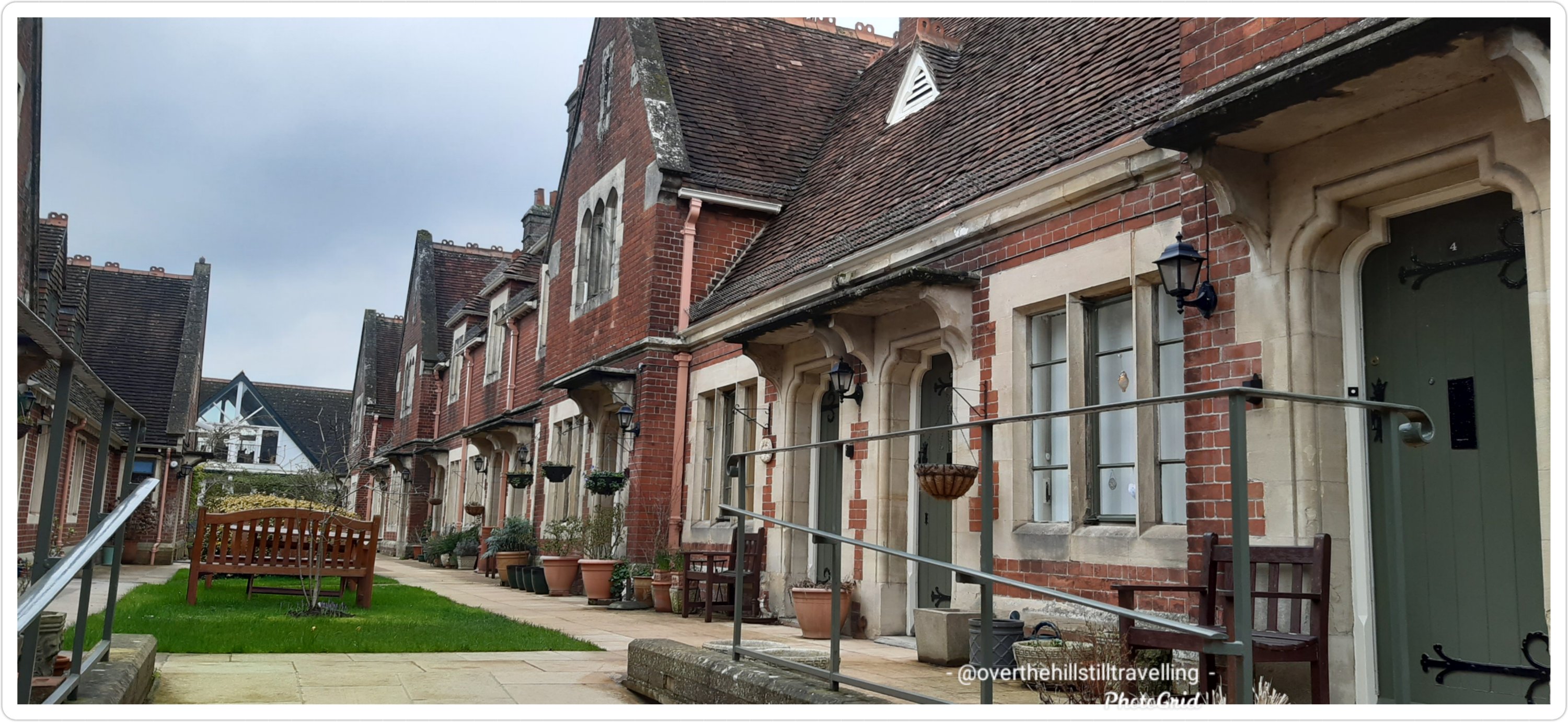
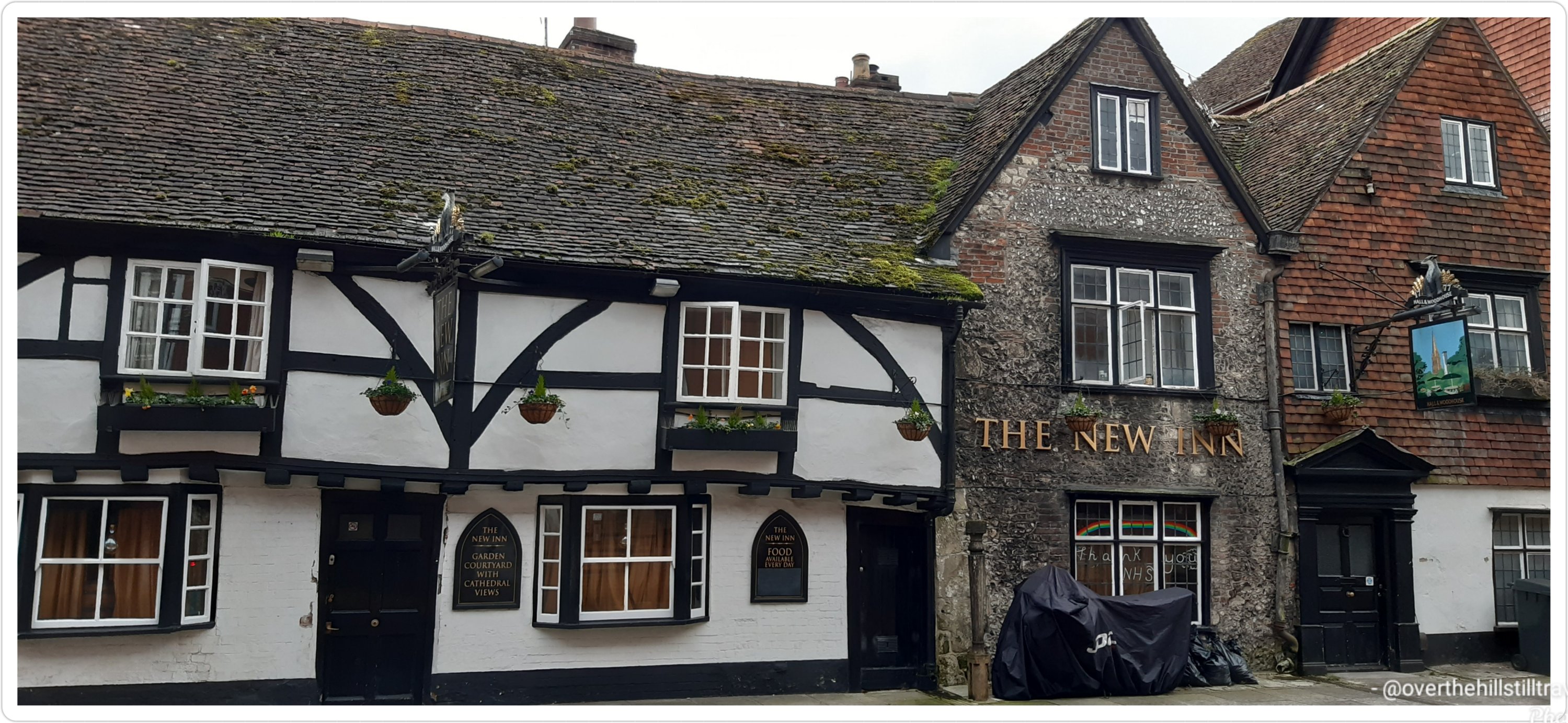
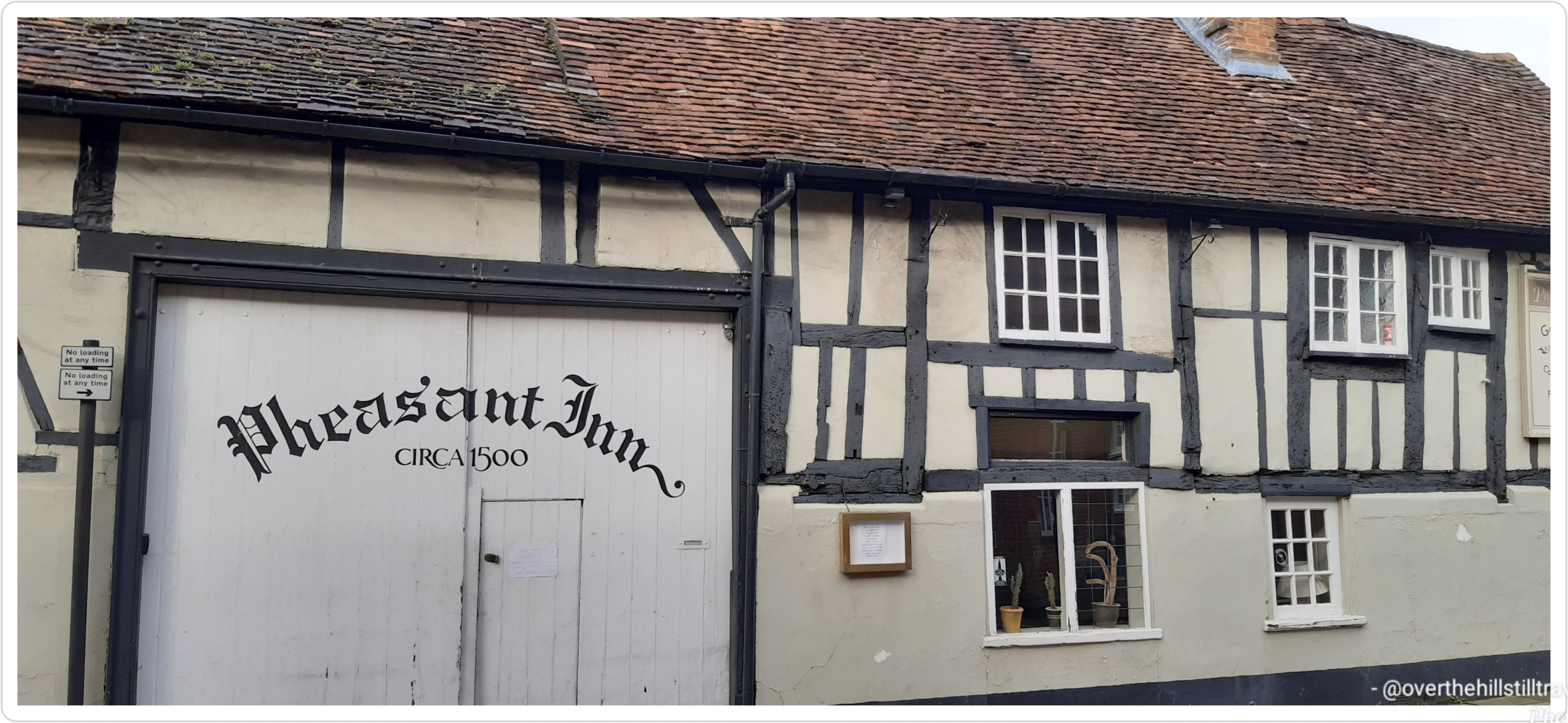
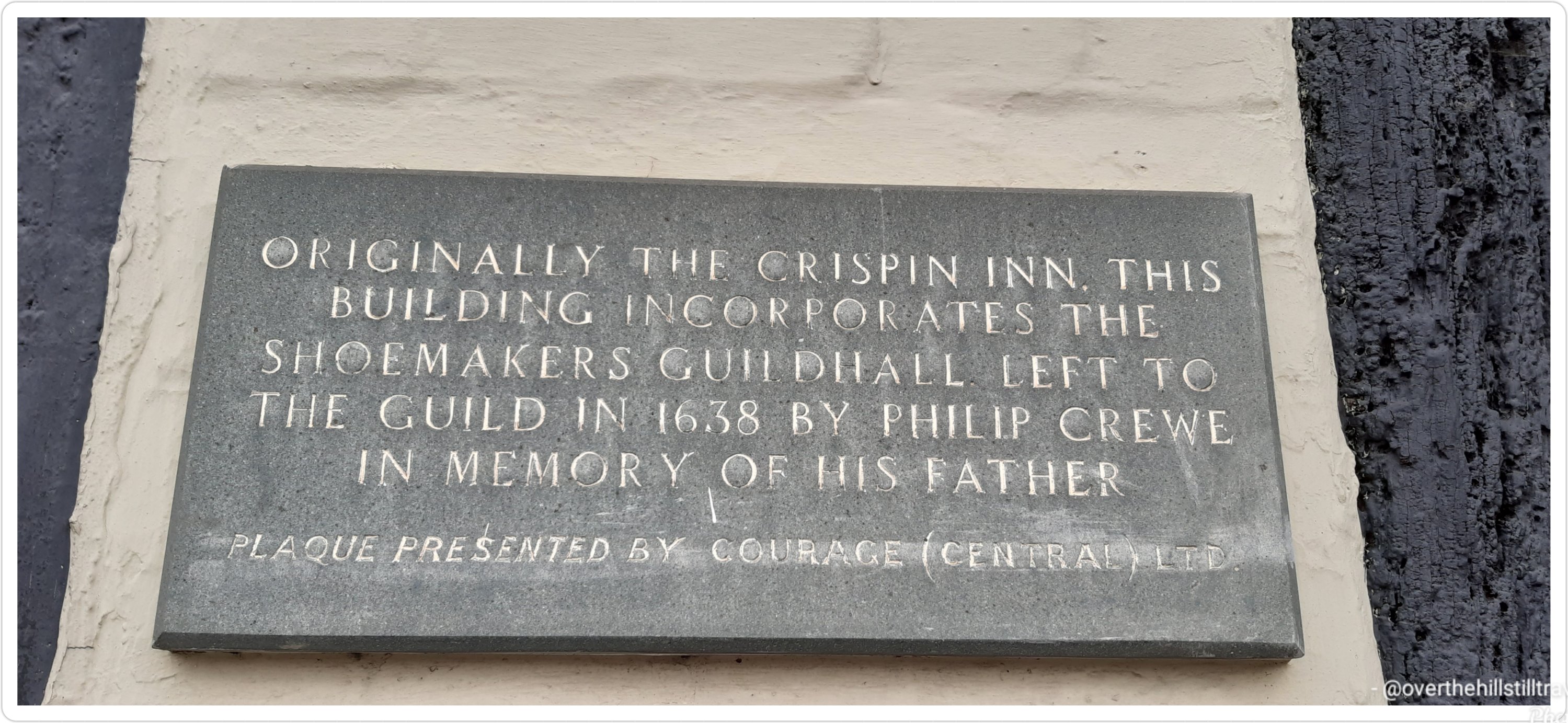
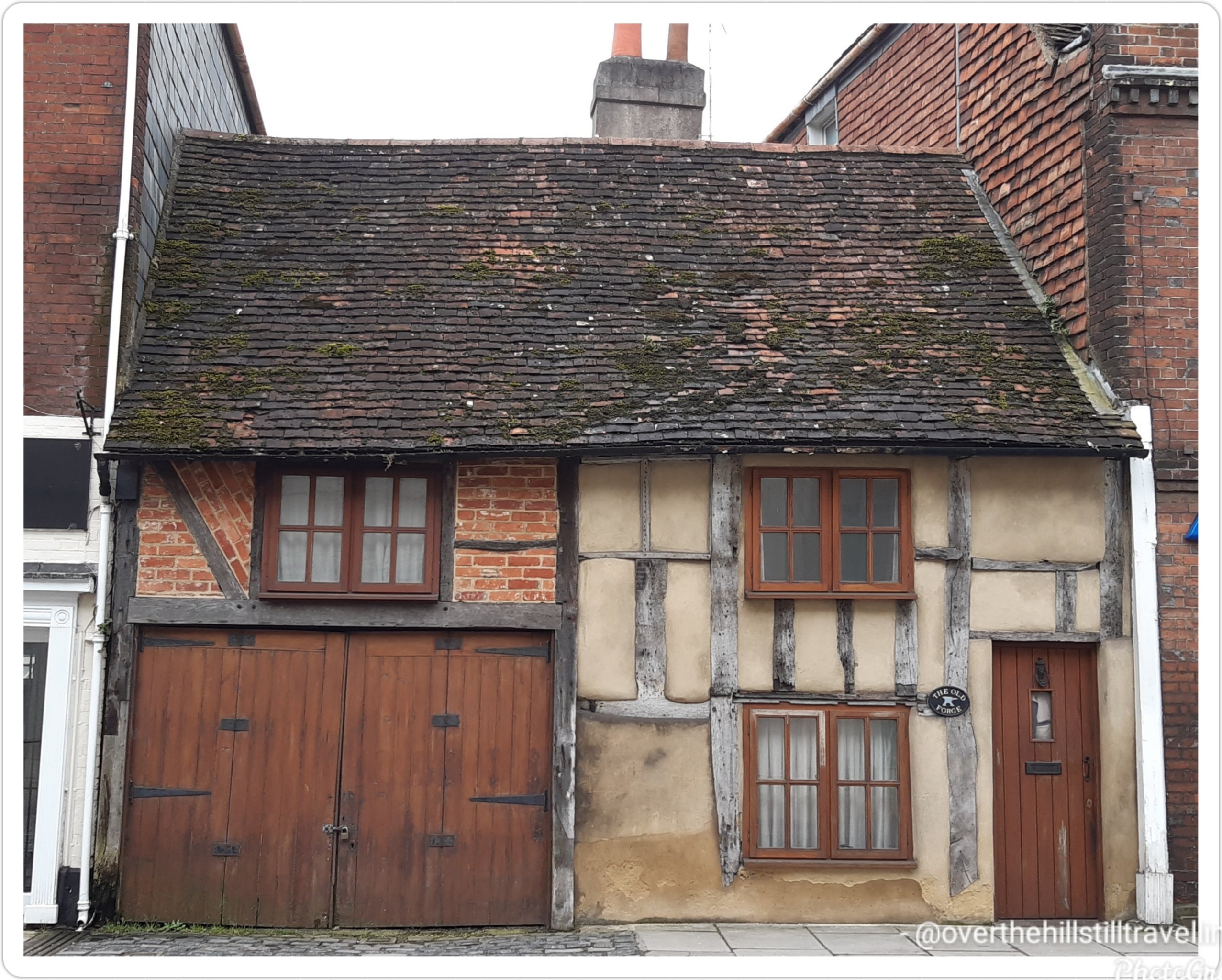
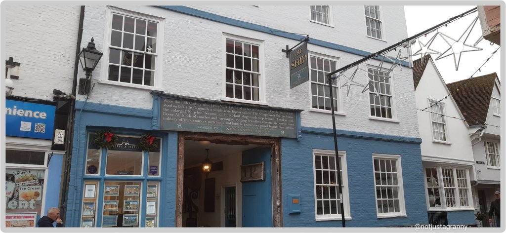
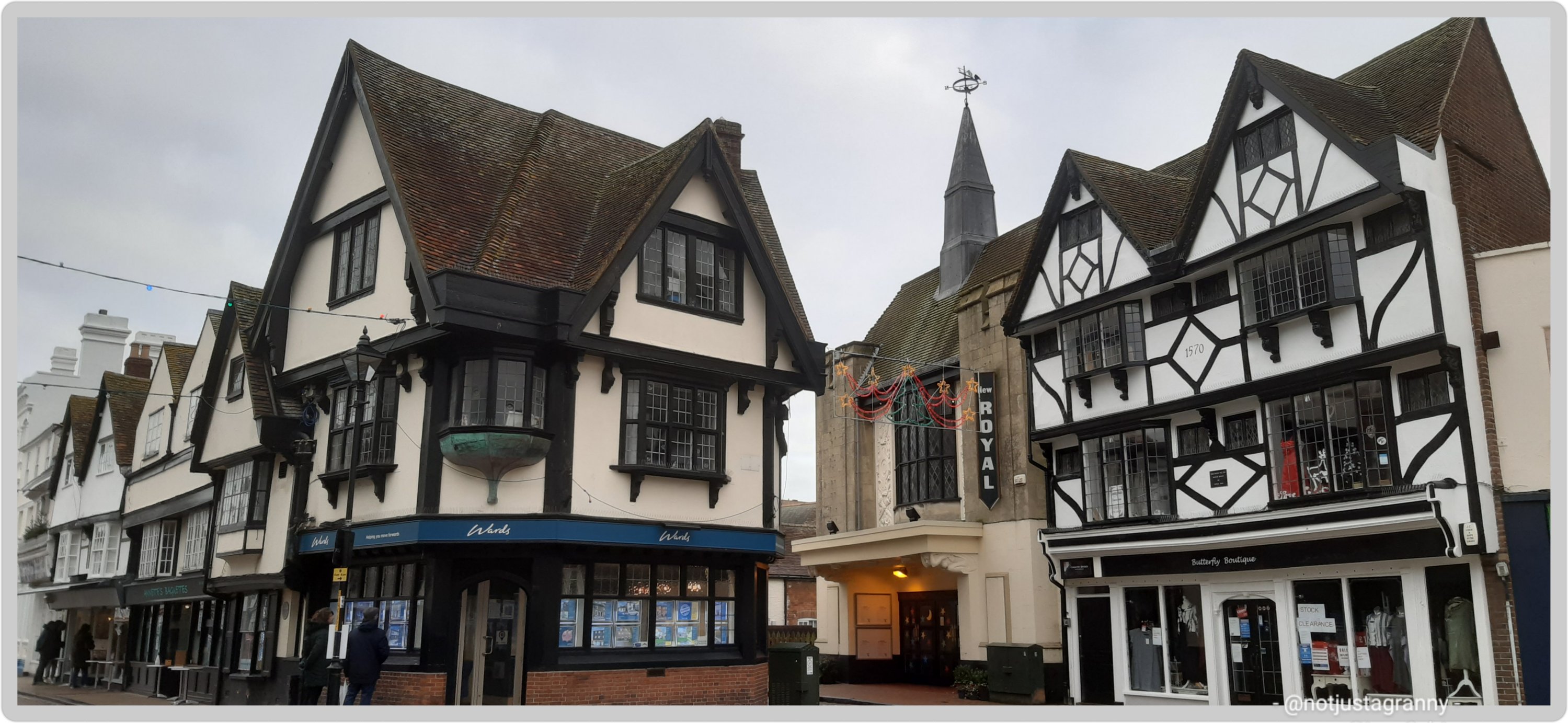
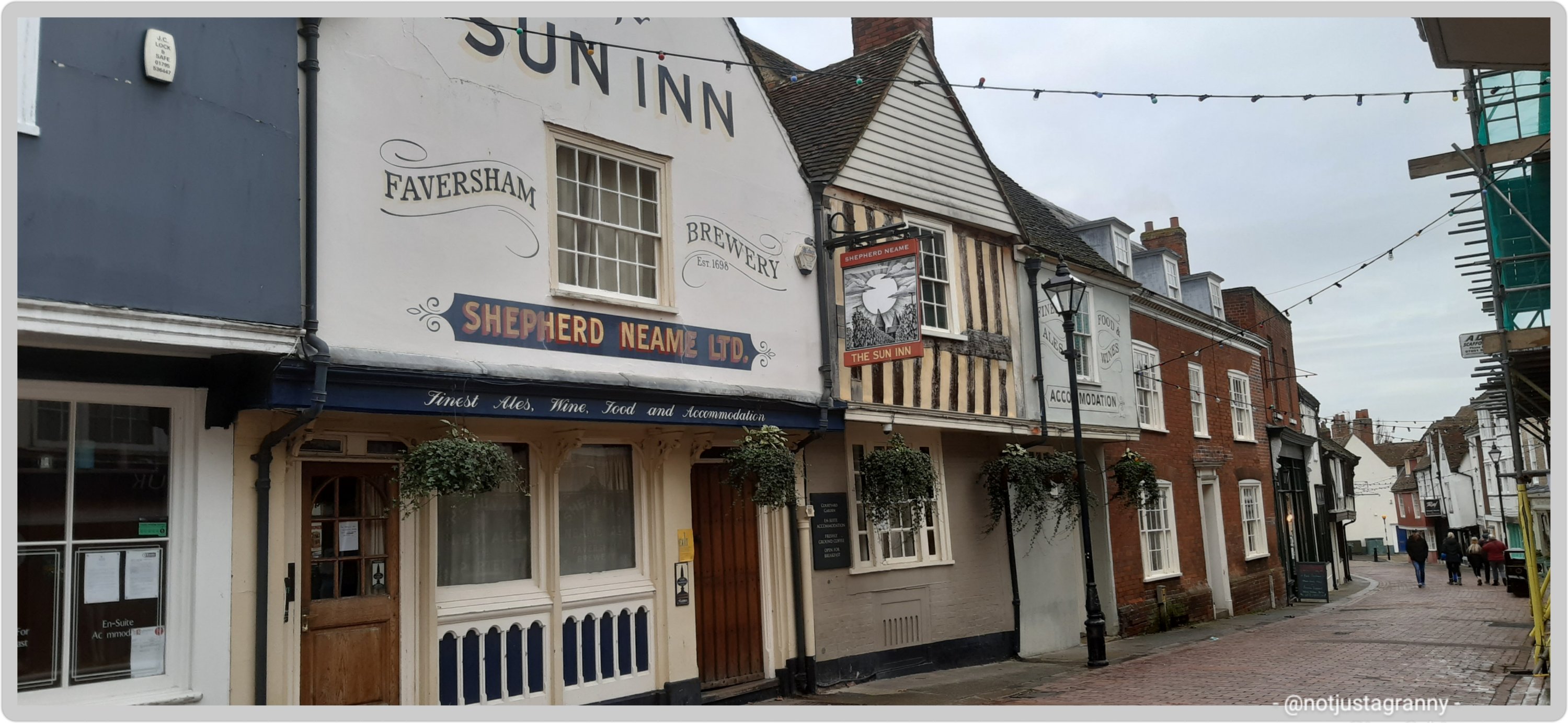
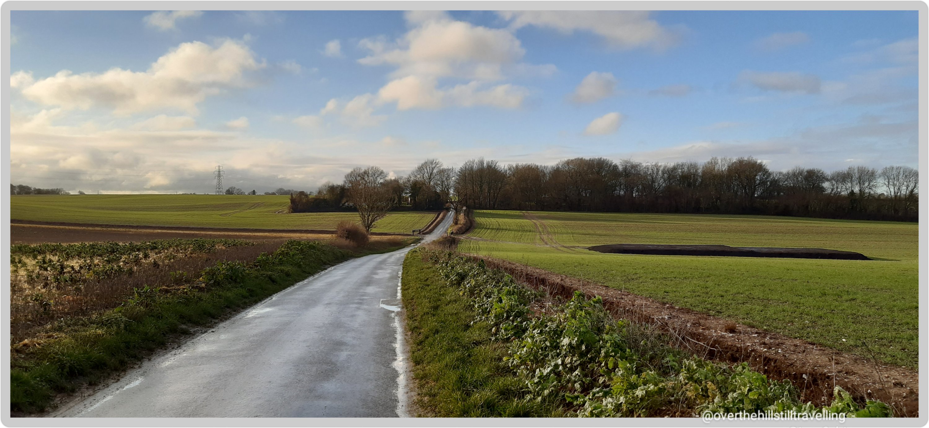
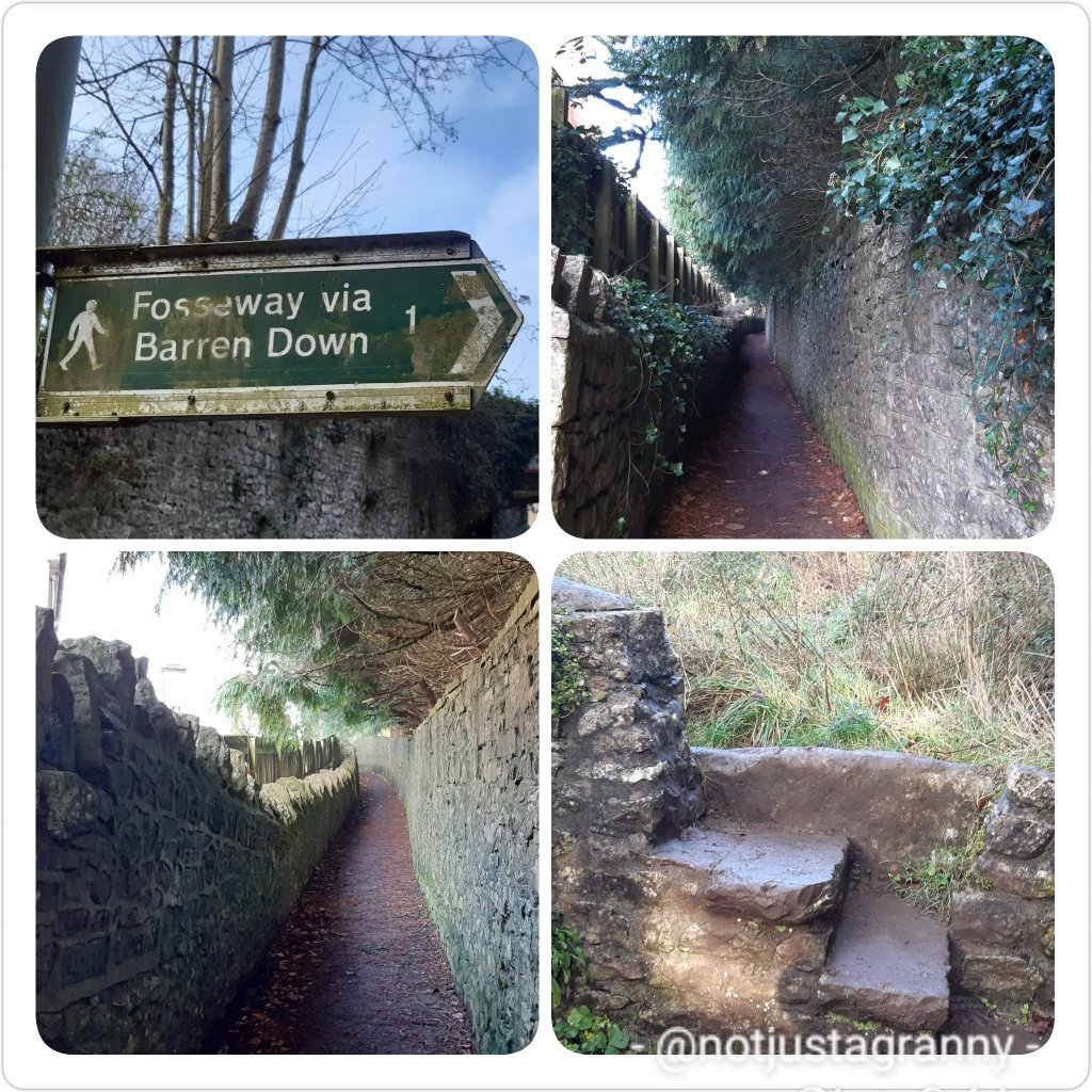
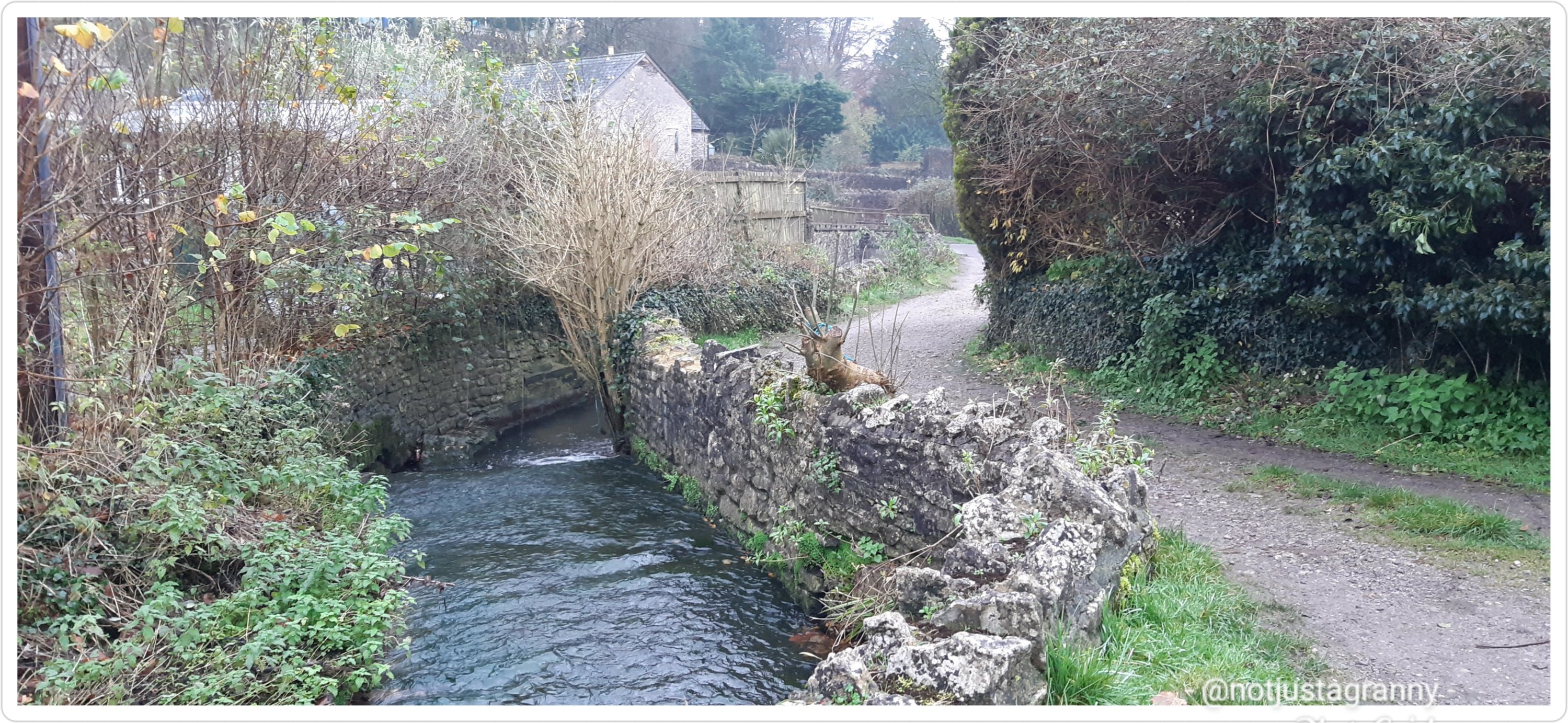
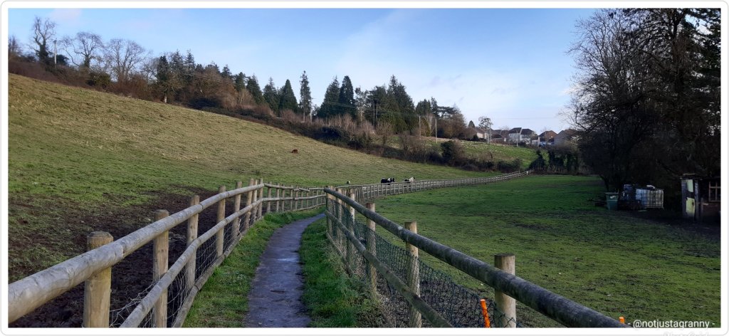
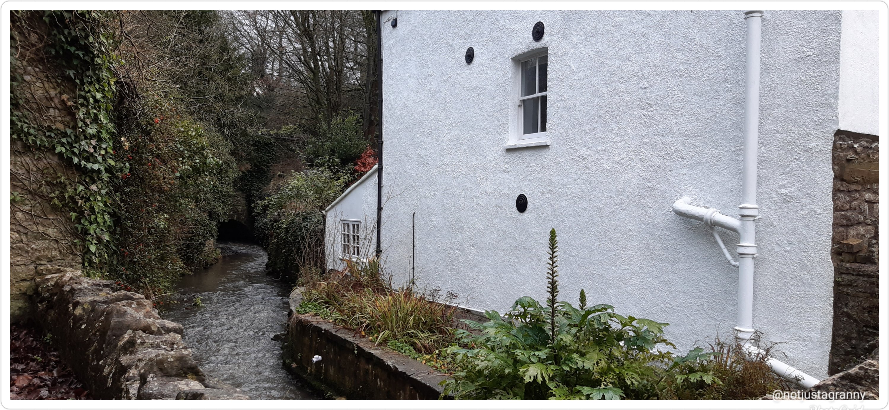
Meanwhile, I’m putting in loads of walking by following my Conqueror Challenges, and reading up on the route. There are loads of fantastic villages and towns along the route, some of which I have already visited and of course as mentioned in that article I have walked a large section of the Thames Path, the tidal section between Gravesend and Teddington Lock and further afield to Hampton Court.

I’ve kinda toyed with the idea of ‘maybe’ skipping out the tidal section since I’ve ‘been there, done that’, but it doesn’t feel right somehow…so I guess I shall just have to plan to walk the whole thing. I often read about people who do some walks, like the French Camino, in sections over the years, but I just know that’s no good for me…I likely won’t get back to finish off. There’s always something else to do. Mind you having said that, I did finally manage to complete The Pilgrim’s Way, but only because I made a spur of the moment decision to just do it….or else it would still be outstanding….which is was… outstanding that is 😁

So a little more about the River Thames:

The River Thames is England’s longest river at 346 kms (216.25 miles) – (albeit disputed coz of the tributary) the River Severn at 354km is the longest in the United Kingdom. So if they did add the River Churn’s 33kms (20.62miles), the Thames would indeed be the longest.

The River Thames flows from the source at Thames Head near the hamlet of Kemble in an easterly direction and after 366.4 kms (229 miles) it flows into the North Sea into the Thames Estuary near Southend-on-Sea. Now, kindly note that I am not about to walk from Southend-on-Sea as this adds on an extra 20km which would require ANOTHER 2 days….and I don’t have all the time in the world. I’ll simply add that section to when I walk the Essex coast (which as a matter of interest is 560 kms (350 miles).

The River Thames flows through 8 counties: Gloucestershire, Wiltshire, Oxfordshire, Berkshire, Buckinghamshire, Surrey, Essex, and Kent.

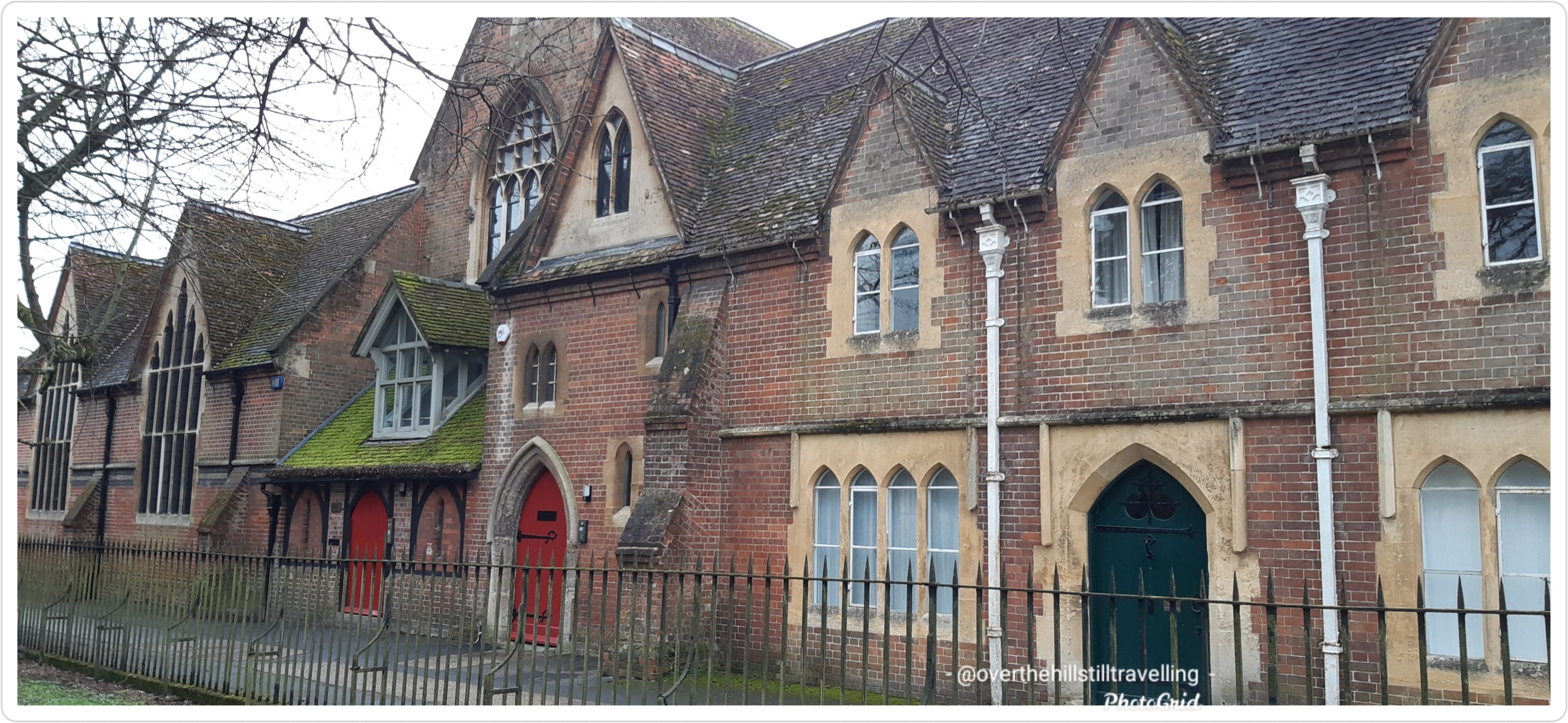
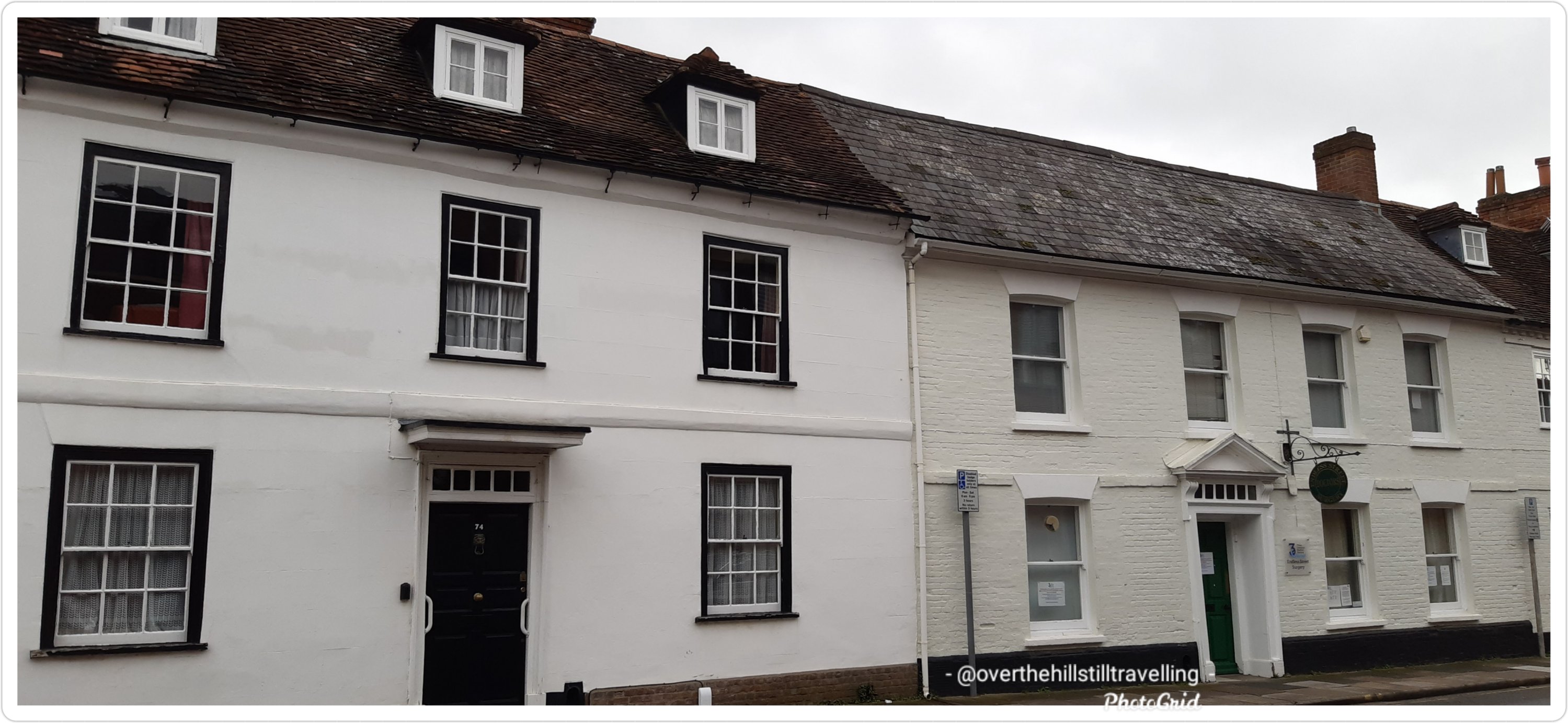
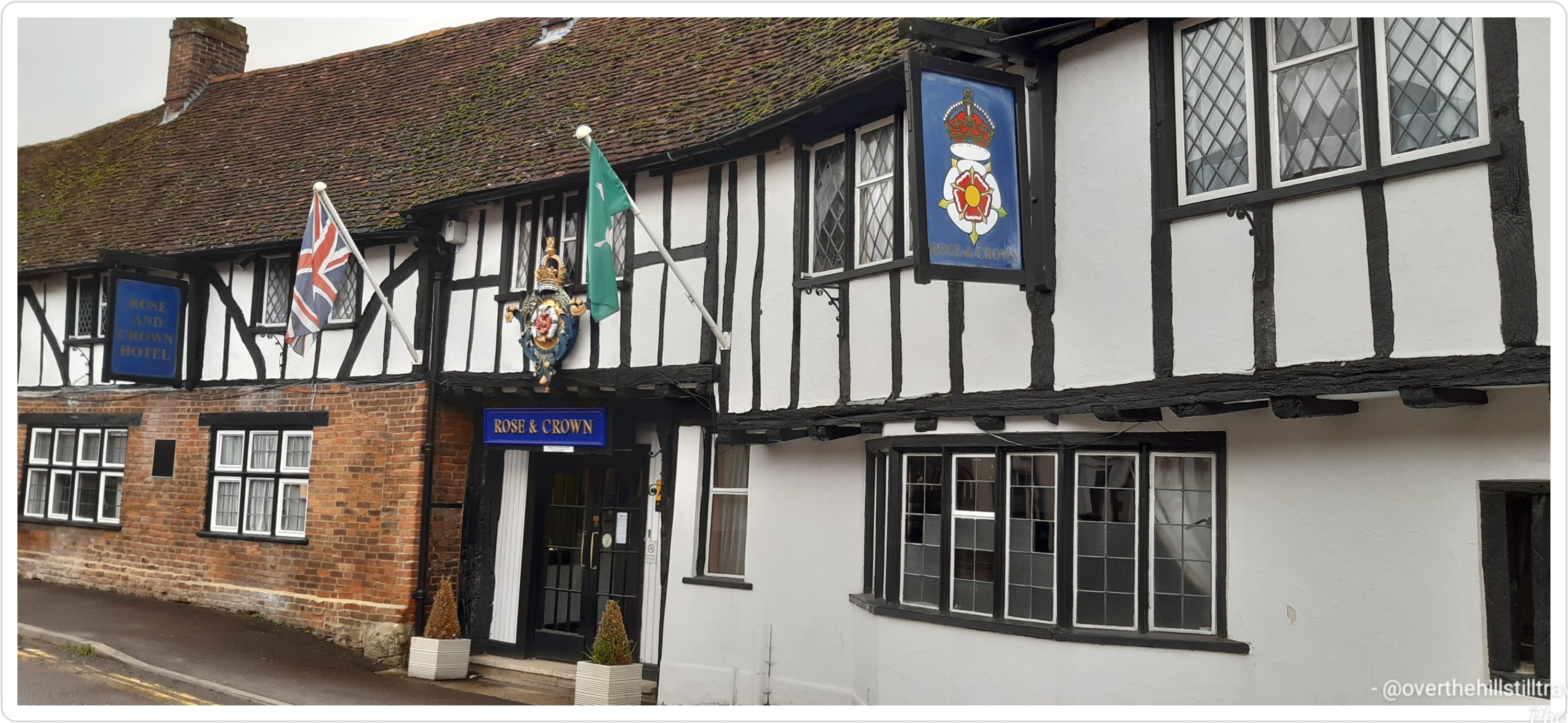
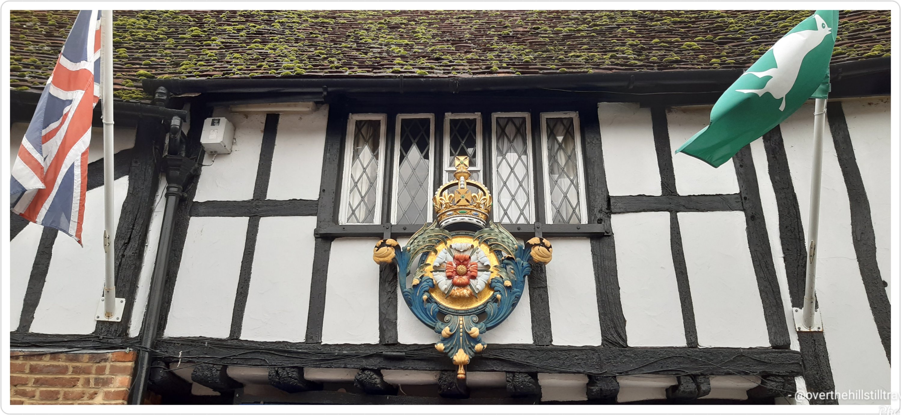
Besides all the smaller towns, the River Thames flows through or alongside: Lechlade (where you can find the famous Father Thames sculpture), Oxford, Reading, Henley-on-Thames (famous for the annual regatta), Maidenhead, Windsor (where the Queen sometimes lives) and Eton (famous for it’s posh totty school), Molesey (near Hampton Court). Including the smaller towns and villages…26 in all.

In Greater London the Thames passes Hampton Court Palace, Surbiton, Kingston Upon Thames, Teddington (where the tidal Thames ends at the lock), Richmond, Kew, Chiswick, Barnes, Hammersmith, Fulham, Putney, Wandsworth, Battersea (where my paternal grandfather was born) and Chelsea.

Continuing through central London: Pimlico, Lambeth, Vauxhall, it then passes the Palace of Westminster and the London Eye amongst many other landmarks of the City of Westminster, then between The City of London and Southwark till it reaches the world-famous Tower of London.

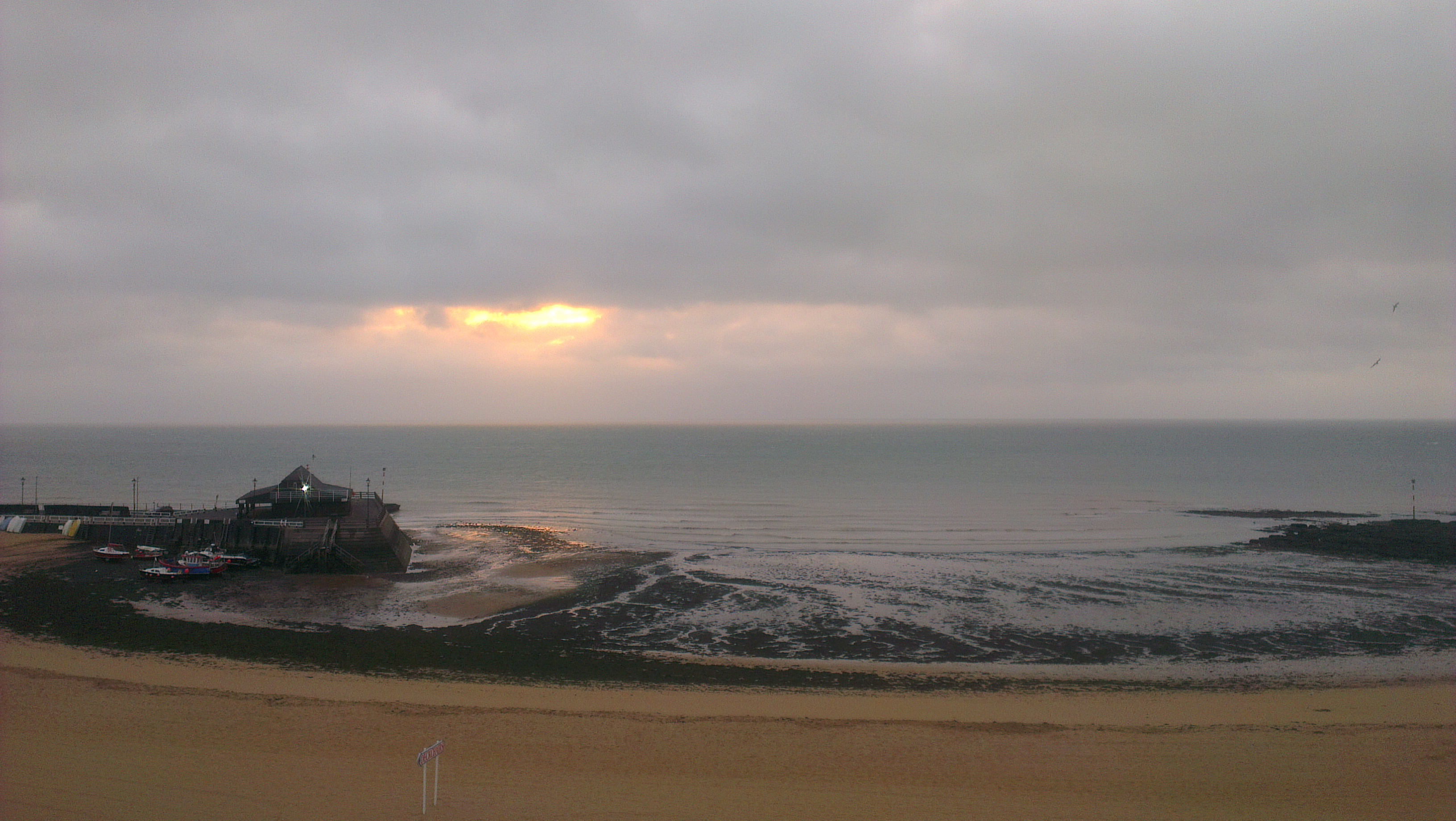
Into the lower reaches: the river passes through some of the most historic areas: Bermondsey, Wapping, Shadwell, Limehouse, Rotherhithe (from whence the Mayflower carrying pilgrims to the New World set sail), Millwall, Deptford, Royal Greenwich (where Henry VIII was born – the Palace of Placentia as were his daughters Mary & Elizabeth, while his son was born at Hampton Court Palace) and home of the Prime Meridian and Greenwich Mean Time, then Blackwall, Charlton and Silvertown and finally through the Thames Barrier – which is where the Guidebook starts the journey, and onto the the sea. The Thames Barrier is the largest moveable flood barrier in the world.

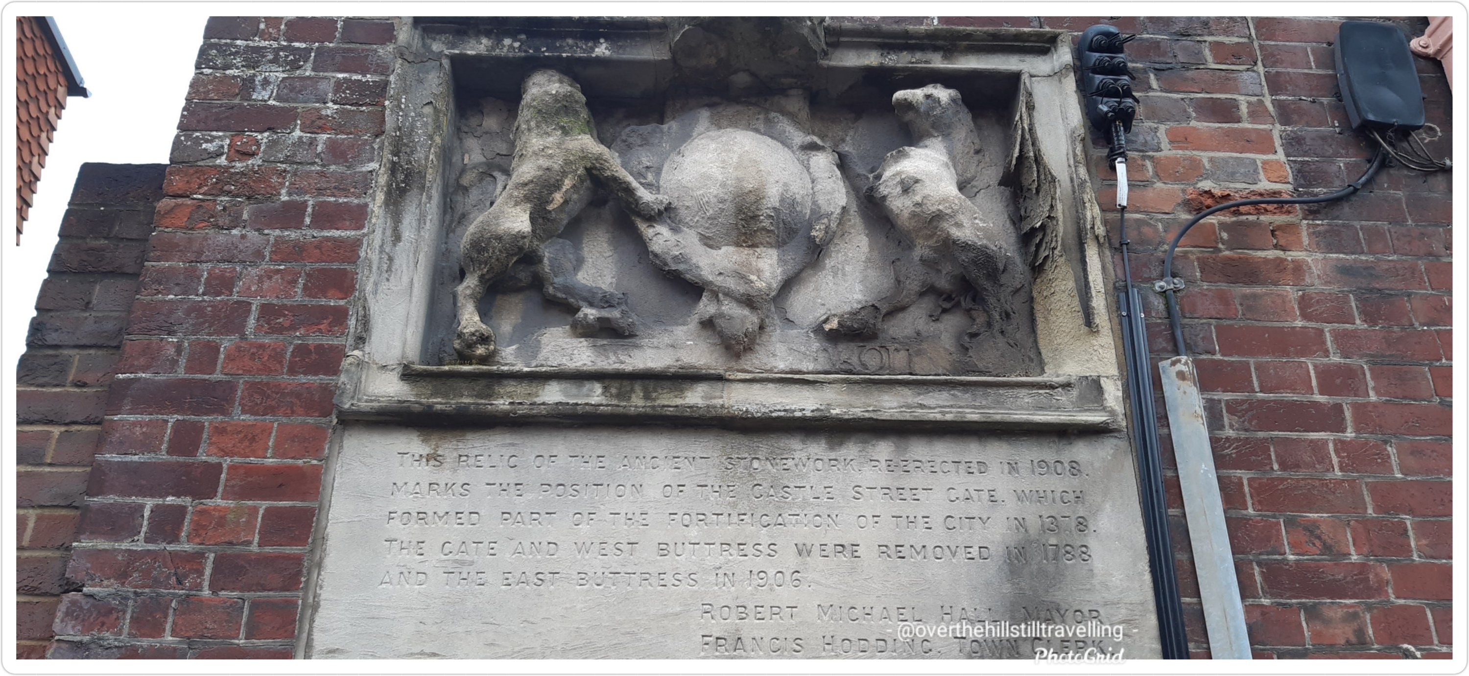
The River Thames is crossed by over 200 bridges, 27 tunnels, six public ferries, one cable car link, and one ford. There are 30 bridges from Tower Bridge to Teddington Lock – arguably the most famous of those being London Bridge (the first bridge to cross the Thames built by the Romans in 50 AD which was a wooden structure), and Tower Bridge (often misnamed as London Bridge).

There are around 180 islands altogether on the Thames, 45 of which are inhabited – some of the islands have animal, bird or food names; Monkey Island, Frog Island, Lower Horse Island, Buck Island, Swan Island, Heron Island, Raven’s Ait, Ham Island, Eel Pie Island (I briefly lived in a gypsy caravan on Eel Pie Island in Richmond in 2011), there’s even a Pharoah’s Island and Queen’s Eyot, and the famous Magna Carta Island.

The Thames has frozen over at least 23 times between 1309 and 1814, and on five occasions the ice was strong enough to hold a fair on the river, the first known ‘frost fair’ on the River Thames was in AD 695. There are a few famous paintings depicting the frost fairs on the Thames in London from the 17th century.

The River Thames is also known as the River Isis in Oxford.

Many species make the River Thames their home; birds, fish, eels, seals (Thames estuary)and even dolphins

A number of famous painters have depicted the Thames in their paintings: Turner, Monet, Canaletto and Whistler, amongst others.

The River Thames began its life in the Jurassic Period – between 170 and 140 million years ago, has changed it’s course over millenia and once flowed into the River Rhine in Germany. Courtesy of wikipedia: For most of the Early Pleistocene the Ancestral Thames was the main river with, at its maximum extent, a catchment area that extended into Wales alongside the Chiltern Hills, through southern East Anglia and finally into Doggerland (now the North Sea), where it joined the ancestral Rhine.

I’m still dithering about whether to start my journey at The Thames Barrier or from Gravesend. If I do start from Gravesend it will mean adding on an extra 2 days, whereas I could rather add on those 2 days at the end to follow the River Churn to Seven Springs. I’ve already walked from Southwark to Gravesend when following Chaucer’s Canterbury Tales route to Canterbury…..so, I need to make a decision and soon… my start date is 19th April!!

I’m really looking forward to discovering more about the places along the river from Hampton Court onwards to the source.

Read Full Post »

My time in Salisbury is now over, but fear not I shall return – when I start travelling with my grandson, Salisbury, Old Sarum and Avebury are on my very extensive list of ‘places to go on Granny and Jamie’s Adventures’. But I couldn’t leave without sharing what is, next to the Cathedral, the best aspect of the city…..The River Avon, in Salisbury, Wiltshire, such a beautiful space.

Synonymous with Shakespeare and Stratford Upon Avon, the Avon rises east of the town of Chipping Sodbury in South Gloucestershire, just north of the village of Acton Turville.

The river itself runs from a spring in Naseby in Northamptonshire, through Leicestershire, Warwickshire, Worcestshire and finally to the River Severn in Gloucestershire, passing through Bath and Bristol, the last big city on its route and beneath the famous Clifton Suspension Bridge.

The River Avon is an exceptionally meandery river with lots of small tributaries and channels breaking away, leaving hundreds of little islands in its wake enroute to the sea…I tried to follow it on Google maps but gave up 😄😄😄

Running a somewhat circular path, the river drains east and then south through Wiltshire. Its first main settlement is the village of Luckington, two miles (3 km) inside the Wiltshire border, and then on to Sherston.

At Malmesbury it joins up with its first major tributary, the Tetbury Avon, which rises just north of Tetbury in Gloucestershire.
This tributary is known locally as the Ingleburn, which in Old English means ‘English river’. Here, the two rivers almost meet but their path is blocked by a rocky outcrop of the Cotswolds, almost creating an island for the ancient hilltop town of Malmesbury to sit on. Upstream of this confluence the river is sometimes referred to as the ‘River Avon (Sherston Branch)’ to distinguish it from the Tetbury Branch.
Information ref wikipedia with thanks.

In Salisbury the river twists and winds within sight of the cathedral as it rushes past ancient inns, Norman churches, alongside meadows green and watery alive with wildflowers, butterflies, bees and swans, it splits into a multitude of channels and smaller tributaries around the city, with 2 distinct channels in the city rushing furiously through the millrace at the Maltings then flows fast beneath a 15th century bridge; Crane Bridge

The Maltings
Crane Bridge

Pretty much wherever you are, you are within a short walk of the river.

The chalk soils around the River Avon filter and purify the water, making the river a special place for wildlife. The Avon and its tributaries make up one of the largest chalk river systems in England, and is a source of clean drinking water.

Although I’ve been to Salisbury a few times, its always been a short visit and mostly spent in the cathedral or at Old Sarum (which is a fantastic place btw – a must visit), but I’ve never had the time to just meander and explore. Its been fantastic. I shall of course return someday in the future….

Meanwhile, here’s a short video showing scenes of the River Avon in Salisbury

I did a lot of walking during my breaks, through Churchill Park, Queen Elizabeth Park, and along the many and varied riverside walks in the city…I went as far afield as the area called Broken Bridges and had a walk along the River Nadder, blissful tranquility, a space of enchantment

Crossing the bridge towards Broken Bridges
River Nadder, so clear you can see the bottom

And that’s it ….goodbye Salisbury, hope your cathedral is open next time I visit, I’d like to see the Magna Carta again 😊😊

Read Full Post »

Besides all the most amazing and ancient buildings and houses dotted around Salisbury, there are many beautiful younger places. I was hard put to not photograph just about everything. I’ve scanned through my photos and pulled up the more interesting structures. Some are remnants of an older building, especially in The Close, others are dotted around the city. I hope you enjoy these as much as the others.

Front of the Medieval Hall

You can just see the spire of the Cathedral behind the building and the magical moon. I was lucky enough to work just around the corner from this building.

Back of the Medieval Hall
Not sure who this belongs to, but next door is the Archbishop’s house
Also from the same era,slightly modernised
In The Close
In The Close
In The Close
In The Close
In The Close facing the Cathedral – what a view…
Arundells – in The Close
The gate at De Vaux place
A house I saw in Harnham across the river
Side view of above house. I totally love this house
Alms Houses
Alms Houses
A relic of the ancient city gates 1378
Old School House
A side door of the old school house

A few random houses. The variety of architecture is wonderful, makes for an interesting mix

The Guildhall and War Memorial

And to end off today; the clouds finally blew away and I saw my first sunset since arriving last week Thursday and just in time for my departure tomorrow. Typical

And I couldn’t possibly end this post without a view of the Cathedral…the moon is almost full and it looks stunning

Read Full Post »

Good morning 😃😃 So, here we go. Over the last few days I’ve done some extensive walking, all round Salisbury to find you the oldest and most interesting of the buildings. Some of them date back to medieval times, circa 13th century, and certainly the inns date to the 15th and 16th centuries, with lots of renovations, repairs and restoration I’m sure.

I’ve not listed them in order of age, that would take a fair amount of time and I’m short on that atm, so I’ll just post them as I saw them over the last 3 days.

But I will say, there’s something quite extraordinary to be able to touch a wooden post that dates back to 1500!!! I mean seriously…think about how much has happened in the last 500+ years, and how many people have passed by or visited these buildings.

Without doubt I have to start with the Cathedral. Possibly not the oldest building in the area, but certainly the most famous. I know from reading many of the information posts dotted around, especially at the churches, that there are Saxon and Norman remains in some buildings, but mostly that is limited to the churches.

Salisbury Cathedral circa 1220
What I really appreciate about Salisbury is that pretty much wherever you are in the city, you can see the spire of the cathedral…no tall buildings compete.

‘Salisbury Cathedral is the most beautiful structure in England, and the Close around it the most beautiful space’. (‘Notes from a Small Island’ Bill Bryson.)

Starting off with what I do know, this building was part of a larger set of buildings all linked to the Bishops of the Cathedral which if course dates back to the early 13th century; started in 1220. I can recommend reading this article about The Close and its history. https://www.british-history.ac.uk/vch/wilts/vol6/pp72-79

The Wardrobe housing The Rifles Berkshire and Wiltshire Museum. The original building on the site was constructed in 1254. It was rebuilt in the 15th century and was used to store the robes of the Bishop of Salisbury; hence it was known as the “Bishop’s Wardrobe” or “The Wardrobe“.

The Wardrobe
Back of the Salisbury Museum
The Salisbury Museum – The King’s House; the house was referred to as the Court of the Abbott of Sherborne in 13th-century documents. The Abbot of Sherborne Abbey used this house as his prebendal residence in Salisbury prior to 1539, when Sherborne Abbey was decommissioned during the Dissolution of the Monasteries. At that time the house was known as Sherborne Palace
This is the top floors of a house that stands alongside St Nicholas Street on the river
Rose and Crown – 13th century coaching inn
Rose and Crown
The carvings on the facade of this building are stunning
15th century inn; The New Inn
Pheasant Inn circa 1500
The Old Forge…I LOVE this house
A 17th century Grade II listed building
Reminds me of a similar building in Kingston Upon Thames
The Poultry Cross featured in yesterday’s post about the 13th century market
The Old Mill, Harnham – The Old Mill is a 15th century building with features dating back to 1250. After it’s early ecclesiastical beginnings, it was transformed in the 16th century to a paper mill.
The Old Mill is just across the river and meadows from Salisbury proper
Quaint thatched cottages in Harnham

I have images of many other buildings in the city which I’ll share in another post…

I hope you’ve enjoyed seeing some of these amazing buildings…have a fab day

Read Full Post »

I’m always amazed when I see modern art in an ancient setting…except for the Roman general, the others are dotted around the grounds of the Cathedral and the last 3 are interesting heraldic sculptures (?) I’ve seen around town

Read Full Post »

Its extraordinary to realise that Salisbury has had a twice weekly market since 1227!

I popped over yesterday to try find some avocado but unfortunately I didn’t find any nice ones. Instead I did find some local farmers free range eggs and promptly bought a half dozen. I avoid eggs as much as possible because I don’t know their provenance and I do know that the supermarkets ‘free range eggs’ are not truly ‘free range’. I had 2 for my supper and the first one I cracked had a double yolk 😄😄

The market was in full swing when I got there, but not nearly as busy as I would have thought, but with Covid…its to be expected.

The colours on a grey day were a welcome sight, and although my time was limited, I did manage to whizz around and look at all the stalls.

I saw these delicious olives, and was tempted…maybe Tuesday

Yummy

Later during my break, I walked through enroute from here to nowhere in particular, and it looked bereft…hardly anyone about. I guess the weather doesn’t help.

Intrigued by the date, I did a bit of research, and this is what I found. The market has been held in Salisbury since 1219 with the founding of the city, and the cathedral. At the time Salisbury was the largest city in the region and offered an opportunity for farmers and traders to sell their produce and wares.

In 1361, market days were formalised and decreed to be held every Tuesday and Saturday, a tradition that continues until today. In medieval times, the market was much larger than it is today, and even spread down side streets. The streets in the area reflect the types of goods sold during medieval times; Fish Row, Silver Street, Butcher Row and the Poultry Cross.

Poultry Cross
Butcher Row
Silver Street
Fish Row
Salt Lane
This intrigued me 😄😄 Chipper Lane..

I wonder, did they have the equivalent of today’s chippy…?

I’ve been fortunate enough to visit many a market in towns around the country over the years, but even so, the amazement of the history never wanes.

Salisbury was a settlement in Domesday Book, in the hundred of Alderbury, mentioned in the chapters for Wiltshire and Somerset.

It had a recorded population of 102 households in 1086, putting it in the largest 20% of settlements recorded in Domesday, and is listed under 2 owners in Domesday Book.

For more information about Salisbury and The Domesday Book, visit their site

And if that’s not enough history for you….Salisbury Cathedral is home to a copy of the Magna Carta too 😉

Read Full Post »

Last night I arrived in Salisbury for my next booking. Just 1 week but enough time to enjoy the area and explore. I’ve visited Salisbury and the Cathedral in pre-covid days, and love this area.

Because I only officially started work at 11am today, I was free to go walkabout last night and again this morning…. which I duly did.

I’m working very close to the cathedral and can virtually see it from the front door of the house. Its an incredibly historic area and there’s a medieval hall within walking distance…like about 100 yards. Its amazing.

Because it was quite dark I didn’t stray too far, and didn’t take too many photos…but nonetheless, my camera was busy once again.

Here are a few images to whet your appetite

The main entrance

The original Salisbury Cathedral was completed at Old Sarum in 1092 under Osmund, the first Bishop of Salisbury. In 1220 the foundations were laid for the Cathedral at the site it is today.

Stunning carving of Madonna and child above the entrance

There are an amazing array of sculptures dotted around the cathedral grounds….

String Quartet
St Anne’s Gate
A bricked in door next to Malmesbury House
History on the wall at Malmesbury House
The Chapter House – outside the cathedral walls
Outside the cathedral walls
I’d love to know how old that house is
Love love this
Salisbury Cathedral looking ethereal in the dark

Salisbury Cathedral, formally known as the Cathedral Church of the Blessed Virgin Mary, is an Anglican cathedral in Salisbury, England. The cathedral is regarded as one of the leading examples of early English Gothic architecture. The main body was completed in 38 years, from 1220 to 1258.

At 80 acres, the cathedral has the largest cloister and the largest cathedral close in Britain. It contains a clock which is among the oldest working examples in the world. Salisbury Cathedral has the best surviving of the four original copies of Magna Carta. I was lucky enough to see the Magna Carta on my last visit.

In 2008, the cathedral celebrated the 750th anniversary of its consecration.

I’ll post some more photos taken this morning of the sculptures in the grounds, of which there is an amazing array, well as of the river Avon and some of the buildings in the city.

Read Full Post »

When we first moved to the coast in 2016, travelling from London to Broadstairs on the train, past all the stations enroute, I remember being intrigued by the places behind the names, and excited about the possibility of exploring them all….and that was only those north of my destination. I subsequently discovered many more, south of Broadstairs.

sunrise over Viking Bay, Broadstairs

I have since then been to all of the seaside towns, either by train or when out walking the coastline, as well as to many of the more inland places. They are all awash with centuries of history, and many of these villages, towns and the City of Canterbury, are mentioned in the 1086 Domesday Book. It is just phenomenal and I am constantly in thrall to the many layers uncovered during my research.

Faversham, along with Broadstairs, Canterbury, Sandwich and Dover are my favourite places to go….castles, Saints, Normans, Vikings, abbeys, a cathedral, ancient churches, historic houses, medieval houses, famous people and royal visits and tales of smugglers – who could resist!!

chalk cliffs kent, the tartar frigate pub broadstairs, walks of england, coastal walks of england
a network of smugglers tunnels wind their way below ground in Broadstairs

I first met Faversham on my Chaucer’s Canterbury Tales walk in 2017 (as mentioned in a previous blog), and although the memories are of blistered feet and muddy shoes, I still have fond feelings for the place 🤣🤣

So since I mentioned it briefly yesterday, I thought I should expand on that and tell you more about this ever so fabulous and famous town, a town that missed out on being a city thanks to a small detail….it doesn’t have a cathedral (or a castle for that matter). Oh the semantics…

Faversham; Old English origin, meaning “the metal-worker’s village” lies next to the Swale, a strip of sea separating mainland Kent from the Isle of Sheppey in the Thames Estuary. There has been a settlement at Faversham since pre-Roman times, next to the ancient sea port on Faversham Creek, and was inhabited by the Saxons.

One of Henry VIII’s boats perchance??

Fefresham was held in royal demesne in 811, and is further cited in a charter granted by Coenwulf, the King of Mercia. Coenwulf described the town as ‘the King’s little town of Fefresham’, while it was recorded in the Domesday Book as Favreshant.

Mentioned as Favreshant in the 1086 Domesday Book, Faversham was noted as : King’s land, with 2 salthouses, a mill and a market; a market town and small port.

Faversham was used as a summer residence by the Kings and Queens of Kent, and has many other royal connections; Stephen (1092 or 1096 – 25 October 1154), often referred to as Stephen of Blois, was King of England from 22 December 1135 to his death in 1154 and was buried in Faversham Abbey. However, during the Dissolution of the Monasteries in 1538, most of the abbey was demolished, and the remains of Stephen were rumoured to have been thrown into Faversham Creek along with his consort and son who were buried with him. Subsequent excavations revealed empty tombs when they were opened.

Abbey Street was constructed around 1201 in order to provide an appropriate approach to the abbey from the town, and still houses timber framed buildings; described as “the finest medieval street in southeast England”.

Medieval buildings in Abbey Street

A royal visit by Queen Elizabeth I in 1573

Location of the Guildhall during Elizabeth I’s reign
Current Guildhall – built as a market hall in 1574 by the people of the town and nearby parishes, converted into the Guildhall in 1605

Faversham was established as a link arm to the Confederation of Cinque Ports as the (Limb of Dover).

The Shippe Inn

Other famous people linked to Faversham (besides me, that is 🤣🤣🤣😉)

Richard Arden, a 16th century mayor, was murdered by his wife and her lover. Nice 🤪🤪🤪

There are some fantastic buildings surrounding the market place

Faversham also lies on the old Saxon Shore Way route between Gravesend on the river Thames near City of London and Hastings on England’s south east coast and known for the ‘Battle of Hastings’ which is when William the Conqueror defeated King Harald in 1066. William the Conqueror is responsible for the ‘Great Survey’ of England; the Domesday Book completed in 1086.

The Saxon Shore Way, a long-distance footpath of 163 miles in England, starts at Gravesend and traces the coast of SE-England as it was in Roman times, as far as Hastings in East Sussex. There are a couple of places where the route runs inland; around what was the Isle of Thanet – once separate from mainland England by the River Wantsum, and again on the south coast past Folkestone.

That’s us, the island on the right 😃😃

Some 5,000 years ago Thanet was separated from mainland Britain by 600 metres of sea – The Wantsum Channel, it is now connected again since the river/channel silted up some time ago.

When the English Channel was formed by the sea breaking through, an island of chalk was left on the east side of the county – now known as the Isle of Thanet.

The Wantsum Channel today

The SSW follows the creek inland from The Swale and into Faversham and then back out again from the opposite bank and once again follows The Swale and into the Thames river at Gravesend. Since I’ve already walked so many sections of the SSW on my various walks, it makes sense for me to actually do the whole route…one day LOL I mean it’s not like I don’t have about 100 other walks to do and I have LOADS of time on my hands ….as if 🤣🤣🤣

Faversham is located on the main road between the City of London and Dover and therefore became an important stop over for travellers between the Port of London and the Port of Dover. As a result of this inns were of paramount importance and today you can see and stay at one at least one such…The Sun Inn. Seriously one of my favourite ‘places I stayed’ on my many walks. It had everything I needed after arriving drenched and in pain. A massive double bed, a huge bath and fluffy white towels. Perfect.

the sun inn faversham
The Sun Inn, Faversham – best room and bath ever
The Sun Inn, Faversham - Day 3 Rochester to Faversham
The Sun Inn, Faversham – Day 3 Rochester to Faversham

Faversham truly is awash with history and I could write up so much more, but this is already quite a long post, so for now I’ll just add one more photo

history of faversham
historic buildings of Faversham

Okay, make it two photos LOL – the architecture is so varied that if you’re a fan of architecture you could spend the whole day walking around and still find more to see

architecture in faversham
architecture in Faversham

I’m sure to visit Faversham again when I start the next section of my insane intention of walking the entire English Coast and of course the Saxon Shore Way….now that my interest has been well and truly piqued. I’ll tell you more about it then…meanwhile…

Thanks for dropping by and taking the time to read about my adventures, I really do appreciate your time and support. Have a fab day/afternoon/evening wherever you may be in the world. 🌍🌎🌏

In case you’re interested: more about my Canterbury Tales Walk from Southwark Cathedral to Canterbury Cathedral (p.s. please don’t feel obliged to read any of them, it’s just in case you’re interested).

https://notjustagranny.co.uk/2011/02/20/the-start-of-my-pilgrims-journey-in-the-footsteps-of-chaucer/

https://notjustagranny.co.uk/2017/07/06/the-prelude-southwark-to-canterbury/

https://notjustagranny.co.uk/2017/07/07/prelude-day-1-southwark/

https://notjustagranny.co.uk/2017/07/09/prelude-day-2-southwark-and-the-city-of-london/

https://notjustagranny.co.uk/2011/03/10/my-canterbury-tales-12th-february-day-1/

https://notjustagranny.co.uk/2011/03/26/my-canterbury-tales-february-13th-day-two/

https://notjustagranny.co.uk/2017/08/03/arriving-in-rochester/

https://notjustagranny.co.uk/2017/08/08/day-3-rochester-to-faversham-part-1/

https://notjustagranny.co.uk/2017/08/09/day-3-rochester-to-faversham-part-2/

https://notjustagranny.co.uk/2017/08/14/faverham-to-canterbury-the-finale/

Read Full Post »

My latest assignment has not taken me too far afield this time and I find myself in the depths of Kent. Not too far from where I’m located are villages familiar to me; Charing for instance….I stayed there on my pilgrimage to Canterbury in September. 🙂 so that’s been a fun discovery. I am of course familiar with Faversham having stayed there in 2017 during my Chaucer’s Canterbury Tales walk from Southwark Cathedral to Canterbury Cathedral, as well as which I finished my latest stretch of the English coast there last Saturday – from Whitstable to Faversham. The Sun Inn; 14th century inn, was the perfect place to stay and I’d love to stay there again sometime.

the sun inn faversham
The Sun Inn, Faversham – 14th century inn with the best room and bath ever

However, the house where I’m working is toooo far from Faversham for me to do any proper exploring, but I have a few country roads I can follow and so far I’ve had 2 good days to get out and about. Of the 5.5 days I’ve been here so far, 1,5 produced rain and 2 produced fog…so I’ve only managed 2 proper walks since arriving on Monday 4th. The sun looks like its burning through the fog so hopefully tomorrow will be a good day for walking.

foggy day in kent
a foggy day in Kent

In the meantime the two walks have unveiled some gems as far as churches are concerned and some amazing houses…..some of which date back to the 15th century. In fact the house I’m working in was built in 1435!!! It’s pretty awesome with some fabulous beams and a huge fireplace. The floors are really wonky and sink in the middle and without heating, its VERY cold!!! I’ll let the photos do the talking

country walking
the long and winding road…..
first world war throwley airfield
Throwley Airfield 1917-1919
the old school house
The Old School 1873-1935
houses at Throwley Forstal

Although I haven’t been able to get out that much, I have walked far and wide, clocking up 16.3 kms over 2 days. Its something of a challenge to find different routes when you’re limited to long stretches of road and a 2 hour break. If I had longer, I’d walk to Faversham for sure. It’s only 5 miles away but would take 1hour 35 minutes to walk there and no time to return before my 2 hours is up!!

I have though seen 2 beautiful sunsets and enjoyed the lengthening shadows of the graveyard. Hopefully tomorrow will bring fine weather so I can get out again…

p.s. there may be a problem with the photo galleries…..if there is I will fix them later…..they look fine via my computer, but on my phone there seems to be an issue….sorry for that.

Read Full Post »

And suddenly I was on the home straight with just 19 hours to go and I’d be on my way. My final break was taken in town and I followed some of my more favoured routes and managed a decent 6.8kms, albeit with a reduction in my time off again 🤔🤔🤔

When I first arrived in Shepton Mallet 12 days ago my heart sank…it looked dull and grey with no defining features beyond grey walls and grey houses, a massive Tesco store and the distinction of being mentioned in the Domesday Book….and the oldest prison in the country looming large…and grey 🤨🤨

Shepton Mallet Prison- closed 2013
Exterior of the prison

But as usual I set out to explore and managed to find lots of interesting nooks and crannies, a great number of interesting houses, some of which are Grade II listed.

The Merchants House – 17th century Grade II listed

Three other houses of historical interest:

Longbridge House : with links to James, Duke of Monmouth and the Battle of Sedgemoor July 1685. Now a B&B. With parts dating back to the 14th century the house is best known for being where the Duke of Monmouth stayed before and after the Battle of Sedgemoor in 1685.

Exploring Shepton Mallet

Old Bowlish House : I was delighted to note the old English spelling…first house name I’ve ever seen in old English. Built around 1618, this Grade II* clothier’s mansion was modernised by the Georgians c.1735 and the Victorians c.1860.

Old Bowlish House – note the old English spelling

Downside House – Georgian House 5 bedrooms 3 bathrooms…I’ll have one of each 😃

Downside House

exciting finds, although I’m pretty certain there were quite a few more dotted about. After all, in its past, Shepton Mallet used to be a very wealthy town built on the wool trade

I found and walked a small section of the Roman Fosseway, and explored the greater countryside, walking many sections of the East Mendip Way. I discovered the wonderful viaducts, one of which carried the old railway – now disused. I explored the beautiful Collett Park and stretching myself I walked to Downside, Bowlish and Ham Lane.

Fosseway
Exploring Shepton Mallet – Collette Park
Collette Park
Collette Park
Viaduct on the Kilver estate
The River Sheppey at Bowlish

I squelched along muddy public paths, slipping and sliding and climbed some interesting stiles 🤪🤪🤪 One of my favourite sections was between a steep field and the small holdings along the River Sheppey where I met lamas, horses, goats and chickens.

This was my favourite stretch of the walks
Helloooo

I walked along narrow roads and lanes and prayed that the tractors that had left their treads in the mud right at the absolute limits of the lanes, didn’t decide to come either up or down the lanes while I was walking along…they didn’t. Whew! I would probably have had to either climb under or over …or resort to climbing into the hedges that towered along the sides.

Narrow roads and wide tractors. ..

I managed to find many items of interest after all…I thought my options were out, but no.

Some houses had little plaques remembering past residents who went off to war and never returned

Although the architecture is mostly solid grey stone

A dilapidated house
Literally falling apart

I did find some older painted houses, albeit peeling and covered in mould….the reason for the stone houses was more apparent. The town is mostly located in a very deep wedge between hills, the Mendip Hills, and a great number of houses are built right on the rivers edge.

Mouldy peeling paint – note the crown decoration
A river runs past
Same section of the river
This house is also built right on rivers edge next to the Fosseway
An optical illusion- on Cat Ash the houses are actually adjacent

I found what used to be a Priory

The Priory exterior
The Priory interior

I’m totally intrigued by the bricked in doors and windows of many of the older houses, and am curious to know when and why they were sealed off.

Windows and doors bricked up m

Addendum – Many thanks to Grace for sending me this link in the comments. The reason why windows and doors were boarded up…governments eh 🤪🤪🤪https://www.amusingplanet.com/2018/04/why-do-many-historic-buildings-in-uk.html?m=1 anything to squeeze more money out of their citizens.

The church was beautiful albeit locked so I never got to go inside 😔 and the market cross is beautiful

And after yesterday’s walk and 2 weeks of indoor walking I’m now closer to my 2020 target of 2020kms. Hoorah. It looks like I may just reach my target by 31.12.2020

As usual, saying goodbye to the pets is sometimes the hardest part of leaving

And so ends my sojourn to Shepton Mallet. Its been quite a stressful job, and I’ll be glad of my 48 hour break before starting all over again on Monday in Croydon 🤪🤪 thankfully only 9 days….

At the moment I’m in transit, first train and nearly in London ….1 tube ride, the HS1 to the coast and a taxi ride away from the Airbnb where I’m staying this weekend.

Read Full Post »

« Newer Posts - Older Posts »

Self Propelled

Self propelled adventures through life; blogging on cycling, touring, micro-adventures, general shenanigans, and environmental news

johnelsewhere

Thoughtful wanderer in search of virtual meaning

Things Helen Loves

UK and European Travel inspiration & life outdoors

Short Walks Long Paths

Wandering trails around the coast of Wales

Port Side Travel By Jill

My travels, photos, tips/tricks and anything else I think of!

Wonderwall

My 360: wonderwalls,theatre, travel, Sheffield, books...

Robyn's Ramblings

My Thoughts. Expressed.

Graham's Long Walk

Graham King's long walks around Britain

The Lawsons on the Loose

Philip & Heather are making memories through their travels.