Stage 2 : Greenwich to Battersea Park 18.04.2021 – 22.01 kms – 6 hours 20 min – 38,376 steps – elevation 102 meters
As mentioned in my progress report this stage too was longer than I originally planned, but I wanted to push through as far as possible and thereby get further along and also shorten a later day’s journey.
I left home at 07:50 for the 08:16 train to London via London Bridge and onto Greenwich arriving at Greenwich station by 10:40. As I left the exit of the station I noticed an interesting art installation; a number of bicycles had been attached to the roof above my head! Cool idea!!

I set MapMyWalk and off I went…. back to the riverside for the next stage of my walk along the Thames Path, heading upstream.
First a quick visit to Cutty Sark and of course another photo LOL a daytime pic of the foot tunnel entrance and a view upstream – I’m on my way!!!
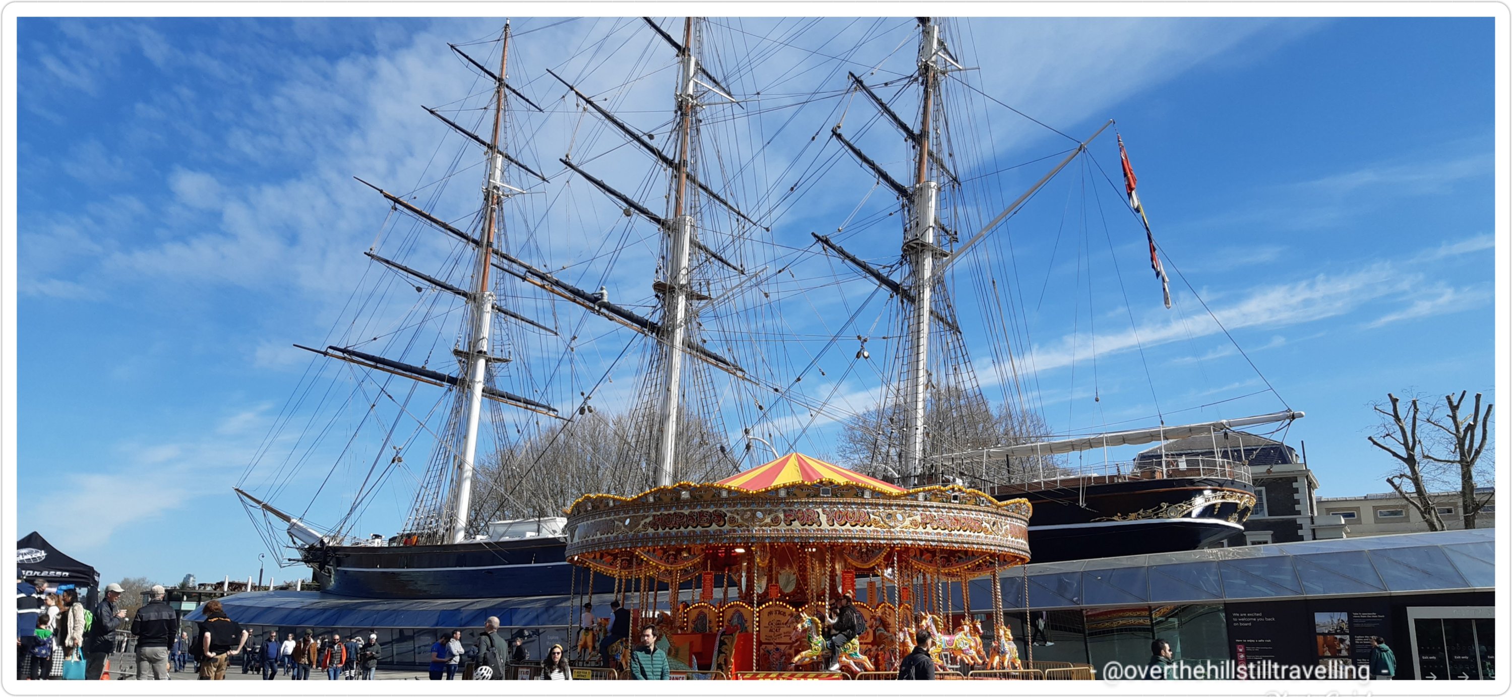
Cutty Sark and a merry go round 
Greenwich foot tunnel

Having planned on walking as far as Vauxhall, due to my extra section to Greenwich yesterday, by the time I reached Vauxhall Bridge it was still relatively early so I pushed on to Battersea Park….a place I love and the District area where my paternal Grandfather was born (hence my ability to get British citizenship).
Today’s walk was no less winding and twisting than yesterday’s and there were a lot more diversions…it looks like I was drunk if you look at the gps trail LOL

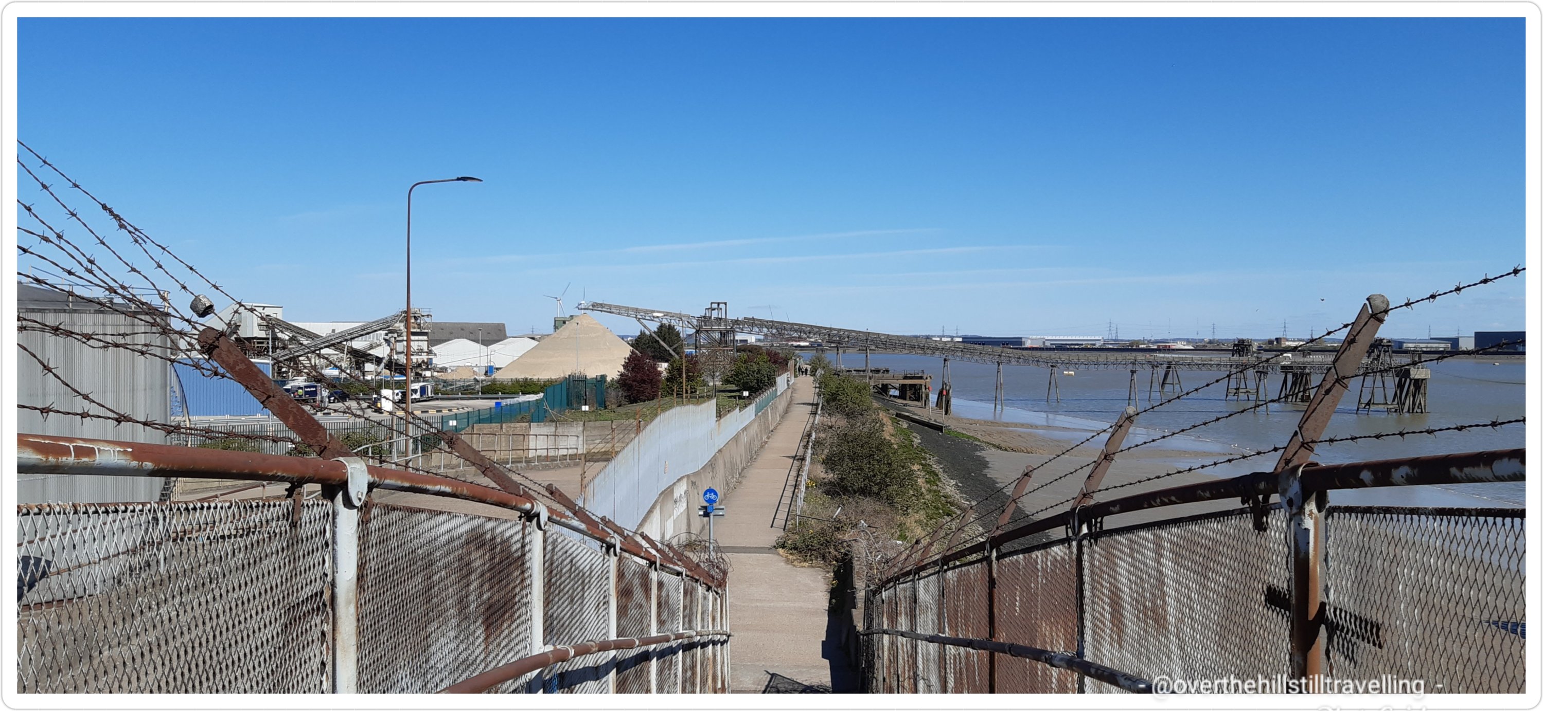
I was VERY pleased to note than since the last time I walked this section (2017) there was now a walkway directly along the Thames Path; and the Greenwich Reach Swing Bridge has been added to cross Deptford Creek, without having to divert along the A200. I subsequently had a look on google and apparently it was opened in 2015 (?) – but I genuinely don’t remember it being there in 2017….maybe it was closed on the day, because I do remember having to divert and walk along the busy road.
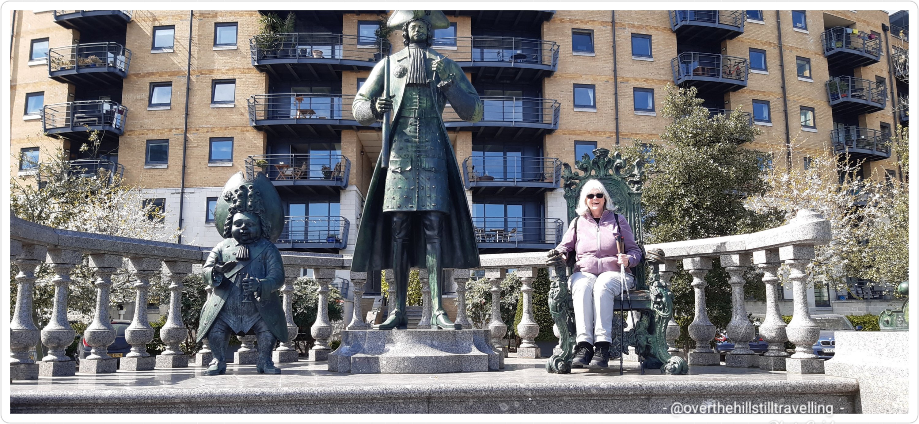
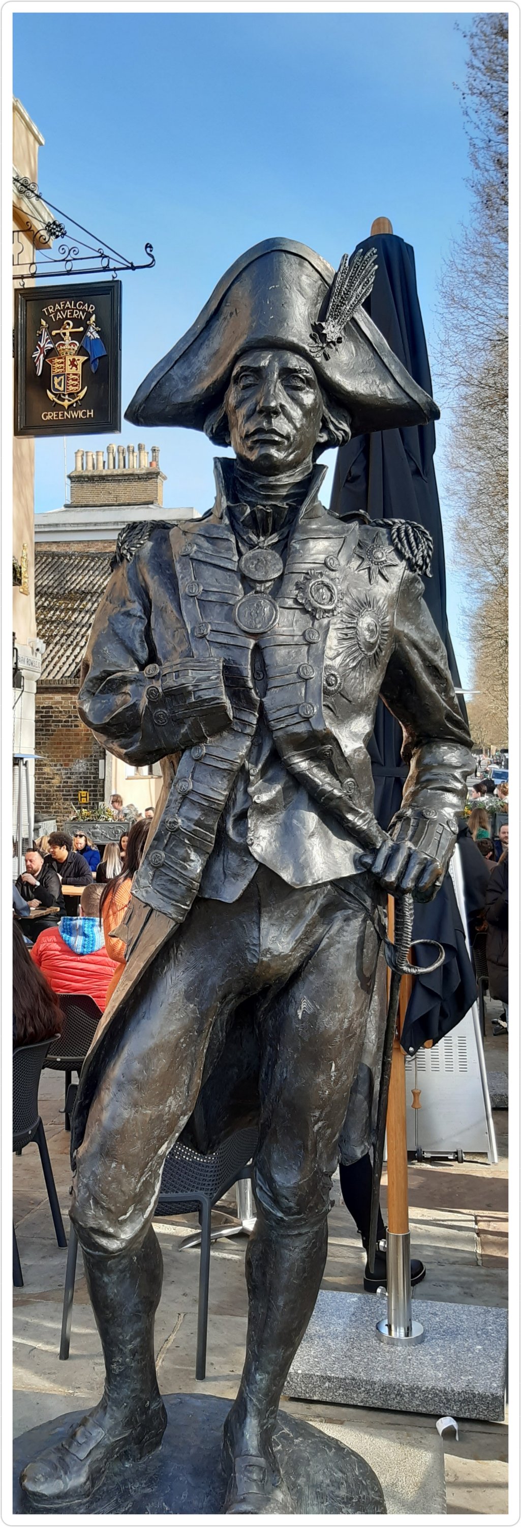
I stopped at the wonderful statue of Peter the Great and had a photo done!! 😃 we have Russian heritage from my maternal grandfather, so yeah, maybe we’re related 😉
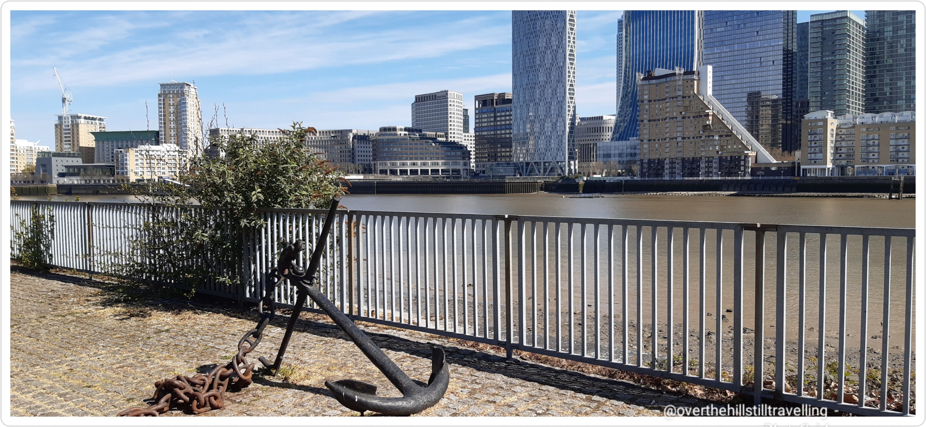
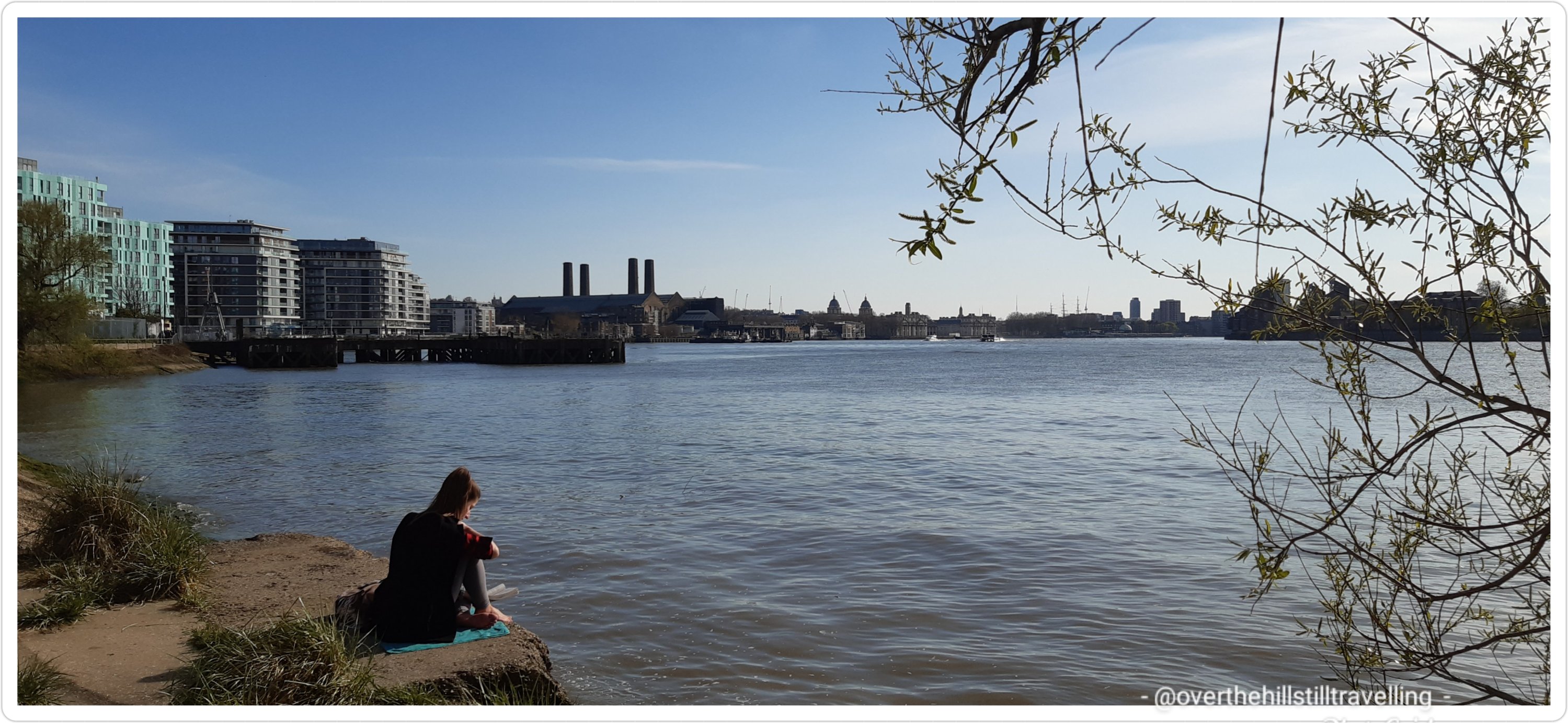
Across the river was Canary Wharf. It’s amazing how often you get a view of that area as you traverse the path. Tower Bridge 4.25miles 🙂

Looking back I could see the masts of the Cutty Sark faintly visible on the skyline.
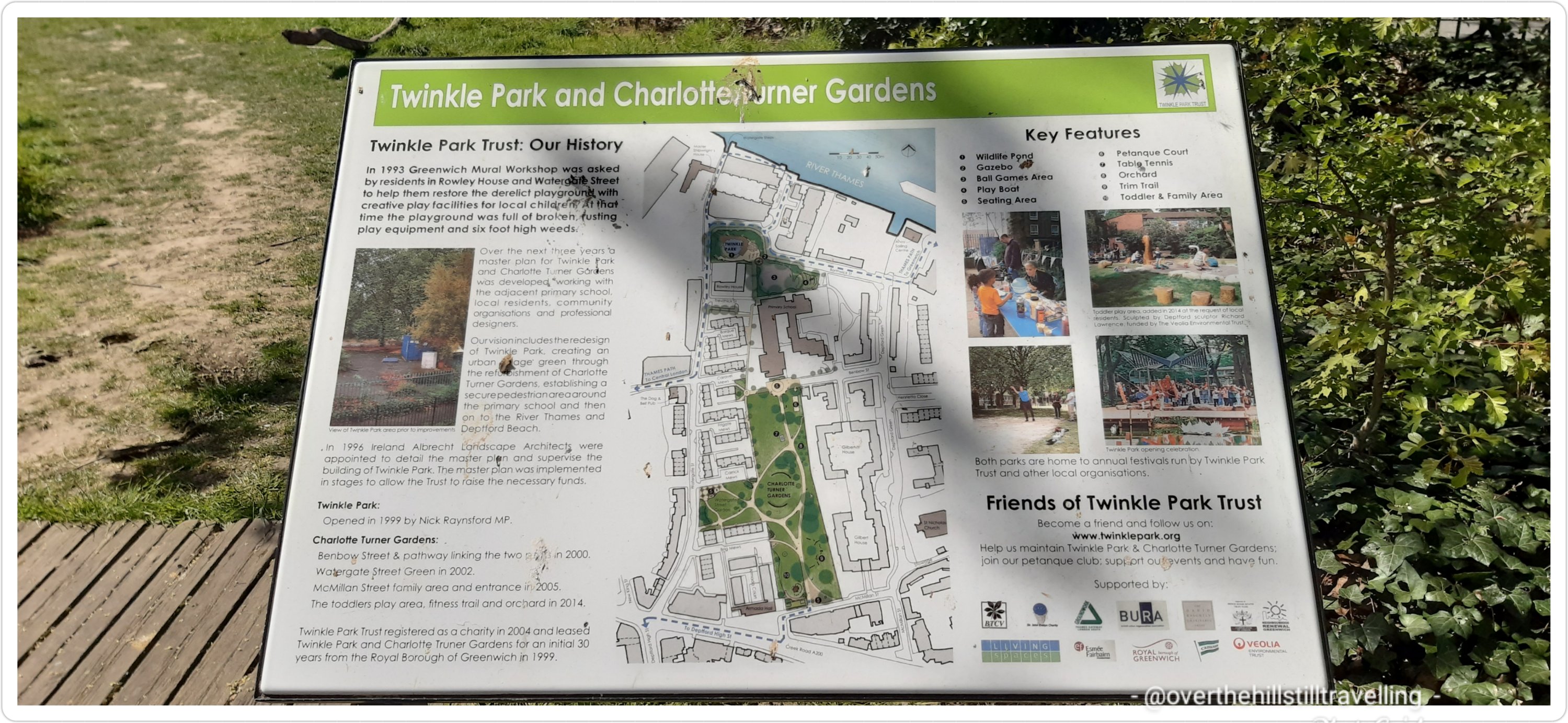
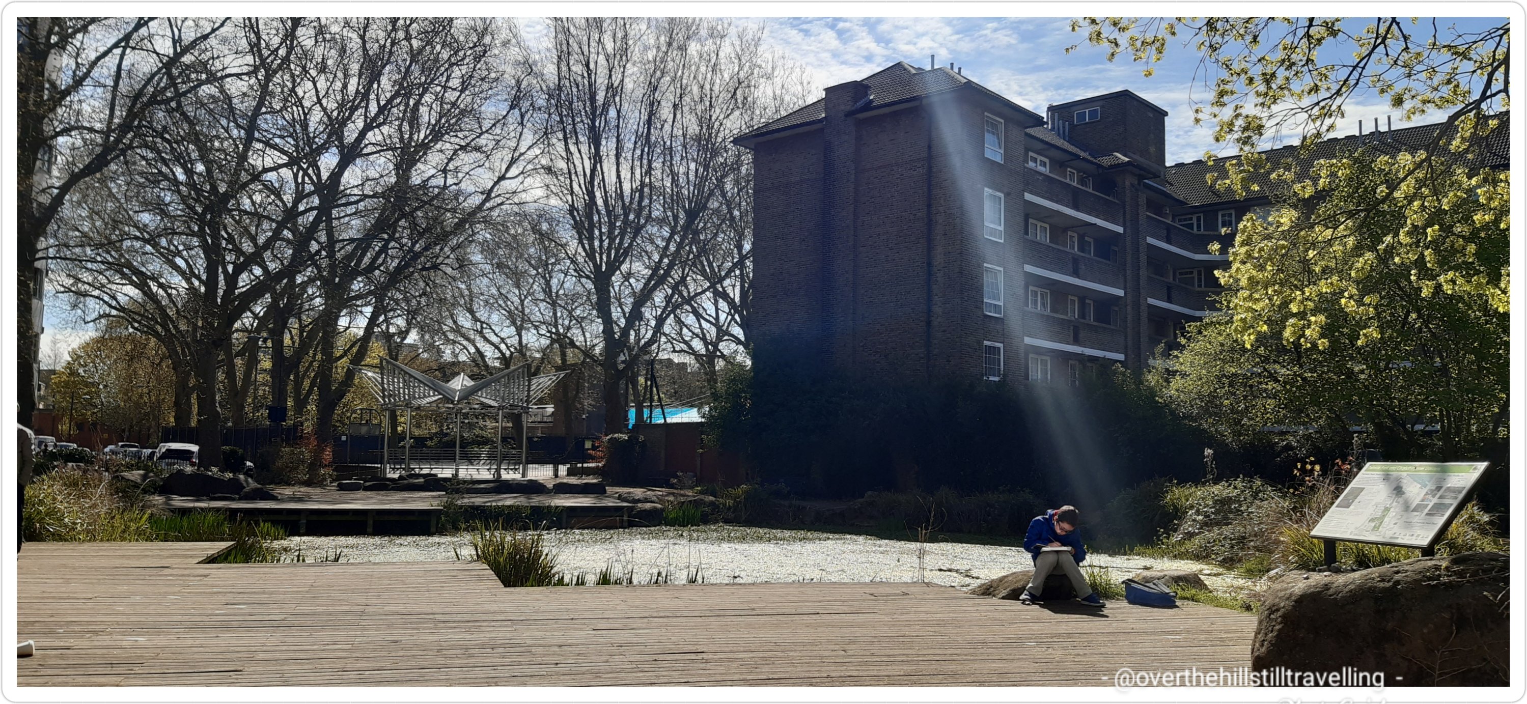
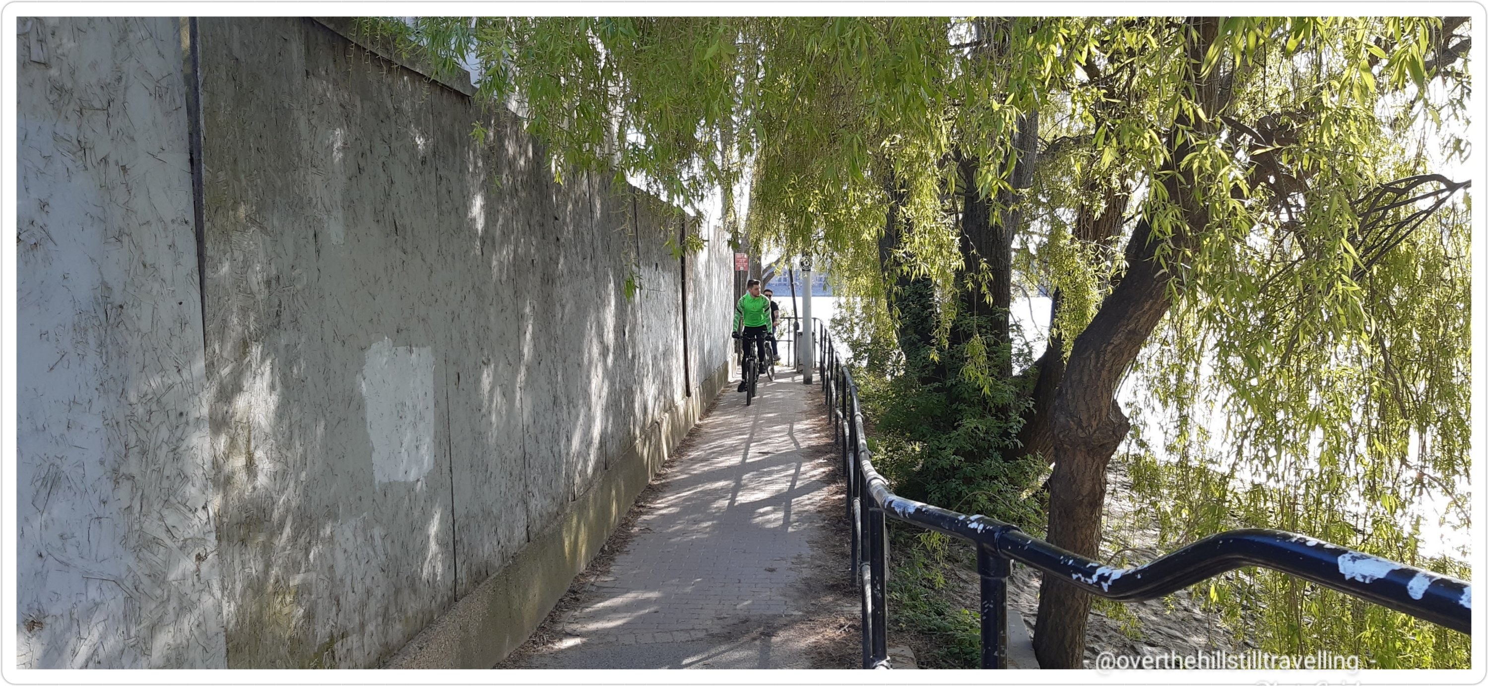
There were numerous diversions, one of which took me well away from the riverside and past ‘Twinkle Park’ 🙂 cute name and very pretty.
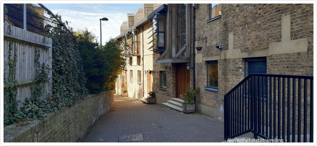
From there you take a huge diversion through Deptford and eventually walking through Sayes Court Park, Lower Pepys Park and Pepys Park where you finally meet the river again. Ugh.


On closer inspection it would appear that the original route has more recently (?) been bricked off?? I wish I could remember the route from 2017.

There’s a lovely tree in Sayes Court Park that I noticed; a mulberry tree believed to have been planted in John Evelyn’s garden in 1698 by the Russian Tsar, Peter the Great, who stayed in Sayes Court during his trip to England, as art of the Grand Embassy. Amazing that it hasn’t been sacrificed on the altar of progress!!

Mulberry Tree 
Mulberry tree
Deptford is one of the most historic areas of greater London, and so well worth a visit. a snippet: the small fishing village of Deptford became an important supply centre for the Royal Navy in the 16th century after King Henry VIII established a shipbuilding dockyard there. Around 350 Navy vessels were built in Deptford between 1545 and 1869. They wouldn’t recognise the place now!
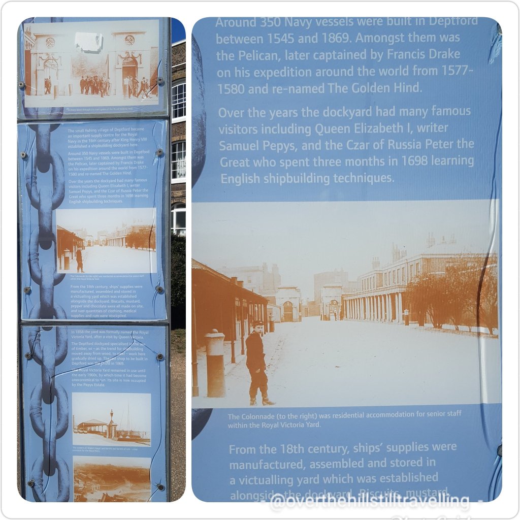
At St George’s Square I noted an information board about Sir Francis Drake: Explorer Sir Francis Drake is best remembered as the first Englishman to circumnavigate the globe in his ship The Golden Hinde. Drake’s three-year voyage around the world from 1577-1580 made him one of the most famous men in Western Europe. Upon his return to Deptford, he was knighted by Queen Elizabeth I. The flight of stairs leading from the river to Foreshore are consequently known as ‘Drake’s Steps’. I had a quick look and they are quite unattractive.

You can see a replica of the Golden Hinde near Southwark Cathedral.
And on I went, zig zagging back and forth through industrial, maritime and residential areas diverting back and forth. The river Thames may be 215 miles (346 km) long, but the path I’m sure, is a LOT longer!!!
On I went passing South Dock Rotherhithe. Rotherhithe is another incredibly historic area and worth exploring when you have the time.
I soon reached Surrey Docks Farm – it’s ever so cute and with the partial lifting of lockdown, there were a lot of people visiting and sitting out in the sun drinking tea and eating cake and things. Kids ran around and the animals seemed bewildered at all the noise after the relative quiet of lockdown. I will take my grandson here to visit in 2022.
There are so many interesting places to see along this stretch of the river with lots of little creeks and docks to be navigated, and I crossed numerous small bridges.


The bridge at Lavender Pond Nature Reserve was quite fancy and I was grateful that these crossings allow you to traverse these places without having to divert. Like Deptford, Rotherhithe has so much history it’s quite extraordinary. You will also find sculptures and maritime relics dotted at various places along the path.


Then I passed Salt Quay and was reminded of the times I’ve stayed at the YHA nearby on many of my previous trips to London. It’s a perfect location for fantastic views of the river, and very close to Tower Bridge should you decide to walk alongside the river into central London.

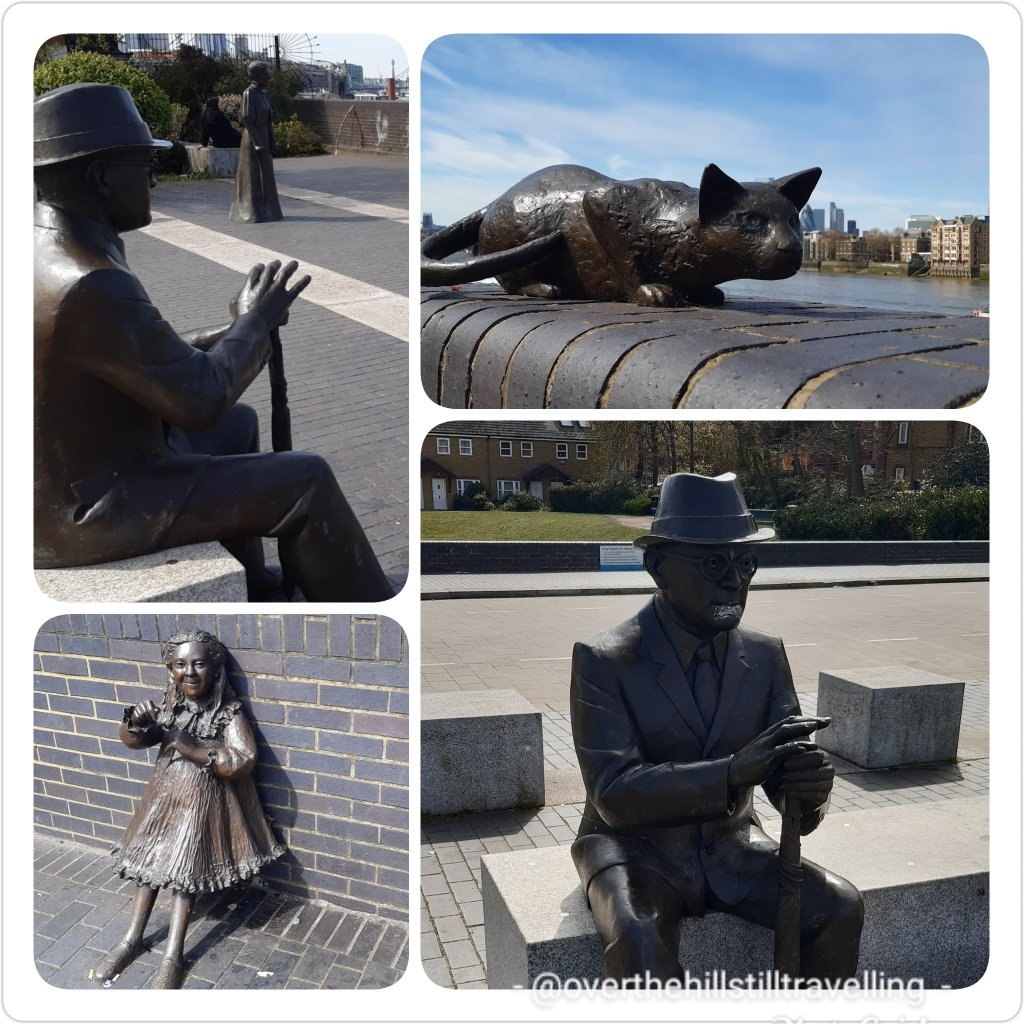
Here, beneath your feet you will find the Rotherhithe Tunnel, although you don’t actually see it since it passes below ground. I was excited to reach Cumberland Wharf Park because I knew what I would find; one of my favourite sculptures – The Pilgrim’s Pocket. An adorable sculpture of a Man (pilgrim) and a boy reading the Sunshine Weekly. Needless to say I took a lot of photos….I have lost count of how many photos I have of this sculpture!! There are story boards telling more about the history, well worth a read.

The Pilgrim’s Pocket, Cumberland Wharf 
The Pilgrim’s Pocket, Cumberland Wharf
Next up the Brunel Museum. A small but fascinating museum, and especially if you go on the tour of the shaft. I remember when it opened many years ago, I was one of the first to visit with the rest of the group. We had to climb down some rickety stairs and scaffolding. Quite the adventure, but ever so much fun. Not for the fainthearted or people with a fear of heights. The Midnight Apothecary was open for bookings…socially distanced of course. Also a fun event if you’re with a good crowd.

Just a few metres along is the famous Mayflower Pub. It is said that the pilgrim fathers sailed from a dock nearby on the ship of the same name; The Mayflower. Mayflower was an English ship that transported a group of English families known today as the Pilgrims from England to the New World in 1620. After a gruelling 10 weeks at sea, Mayflower, with 102 passengers and a crew of about 30, reached America, dropping anchor near the tip of Cape Cod, Massachusetts, on November 21, 1620. ref wikipedia

And then a short walk and opposite is St Mary’s Rotherhithe. I stopped to say ‘hello’. Master Christopher Jones Jr. Captain of the 1620 voyage of the Pilgrim ship Mayflower. He did however die in Rotherhithe, 5 March 1622 (52 years of age) and is buried in the church. After Christopher Jones died in 1622 the Mayflower lay idle on the mud flats of the River Thames near Rotherhithe and was reported in many books to be a “rotting hulk”. A sad end for a famous ship.


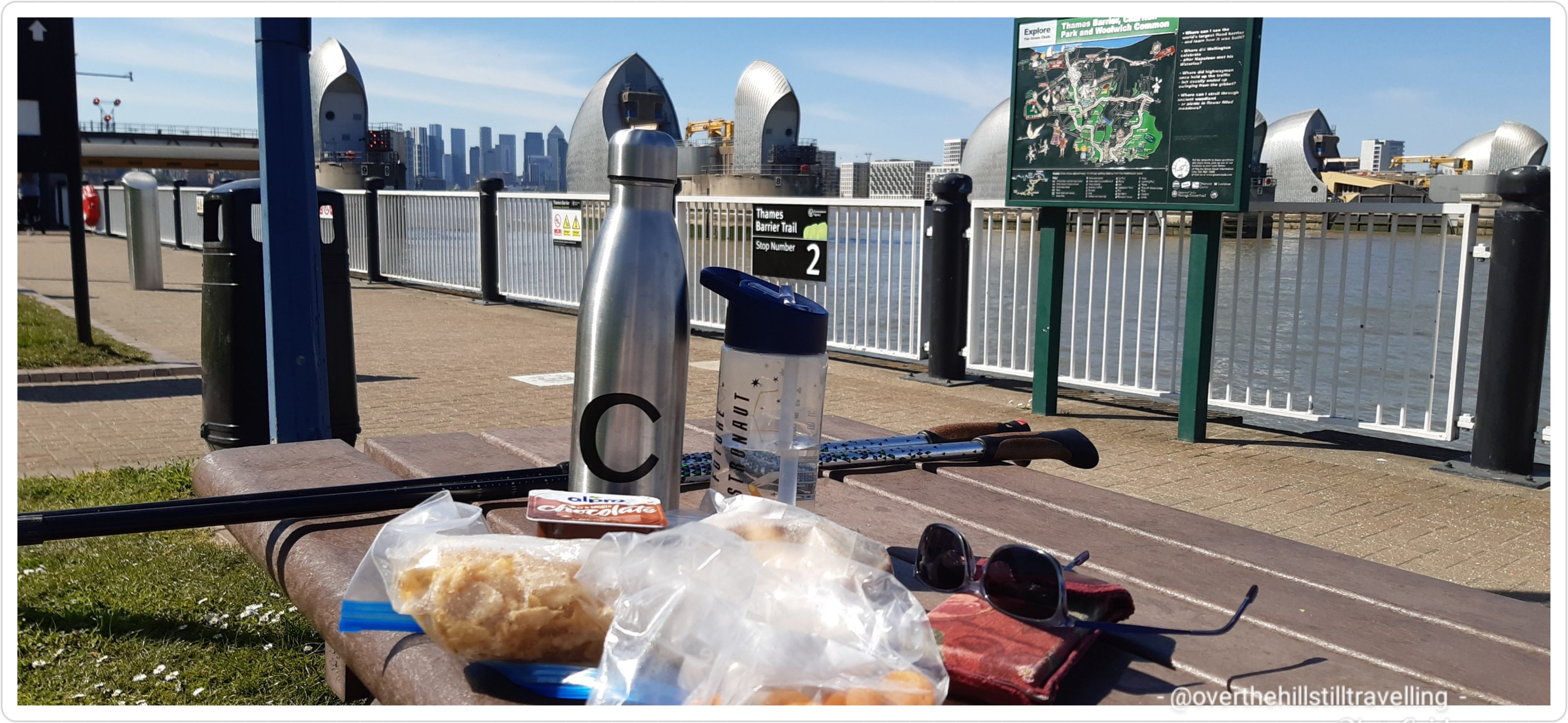
Back at the riverside you can see Tower Bridge (hoorah), The Shard, the the towers of London, as well as the bloody awful Walkie Talkie building. What a monstrosity. urgh. At this point I decided that since it was 1pm my feet deserved a rest and my belly some food. I tend to not eat much when walking, and neglect to feed the old belly. I had literally just reached the King’s Stairs Gardens where I could see lots of people stretched out on the grassy knoll, all sensibly socially-distanced of course, so made my way to the top of the mound and reclined on the grass, shoes and socks off and jacket under my head. I enjoyed my small picnic – same fare as the day before. Then I had a quick shut eye.
Setting off again at 2pm I made my way past The Angel Pub and stopped (for the gazillionth time) at the remnants of King Edward III’s Manor House. It’s super awesome to find these links with the past and brilliant that they survive and have not been ripped up for a block of flats.

Then I paid a visit to Dr Salter and family…a very sad story; his only daughter Alice died in 1910 at the age of 8 from scarlet fever. If you’ve never heard of Dr. Alfred Salter, it’s worth reading up on him and his wife…amazing couple.
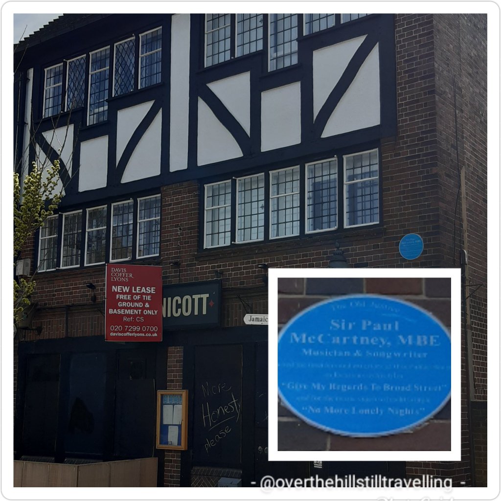
From here again we have various diversions due to industrial development at the riverside, but in this instance it gives you the opportunity to walk past The Old Justice pub where Sir Paul McCartney, MBE, musician & songwriter, used the interiors and exteriors of this public house as locations in his film “Give My Returns to Broad Street” and for the music video to his hit single “No More Lonely Nights”.
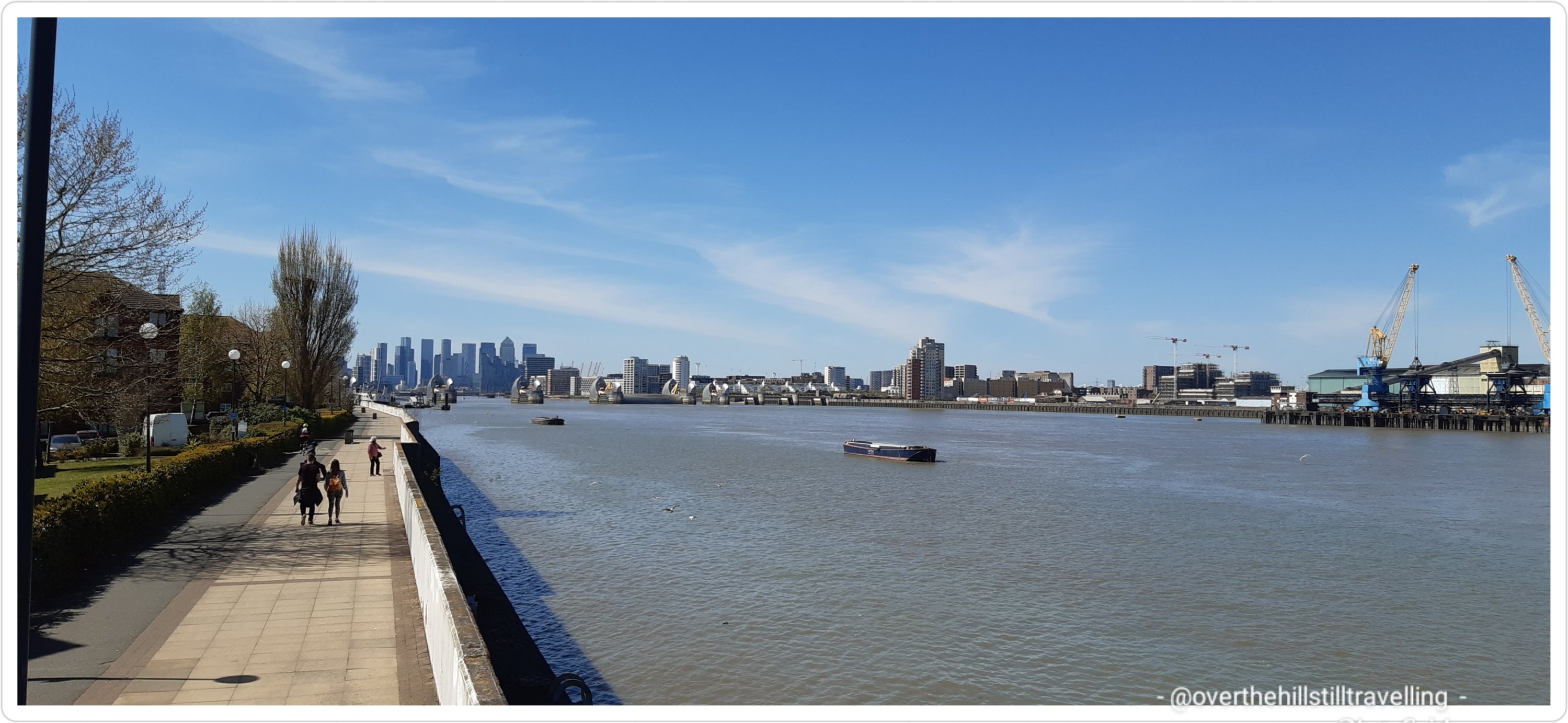
I occasionally encountered the Thames Tideway Tunnel construction sites and not too far along was another such. They’re mostly boarded up, but there are terrific information boards telling you about what they’re doing and why. Moving sewerage is the short answer!! LOL It’s quite an enormous enterprise really, but then Greater London does host quite a lot of people. I stopped to study the maps for a bit and to marvel at just how long the Thames River is.
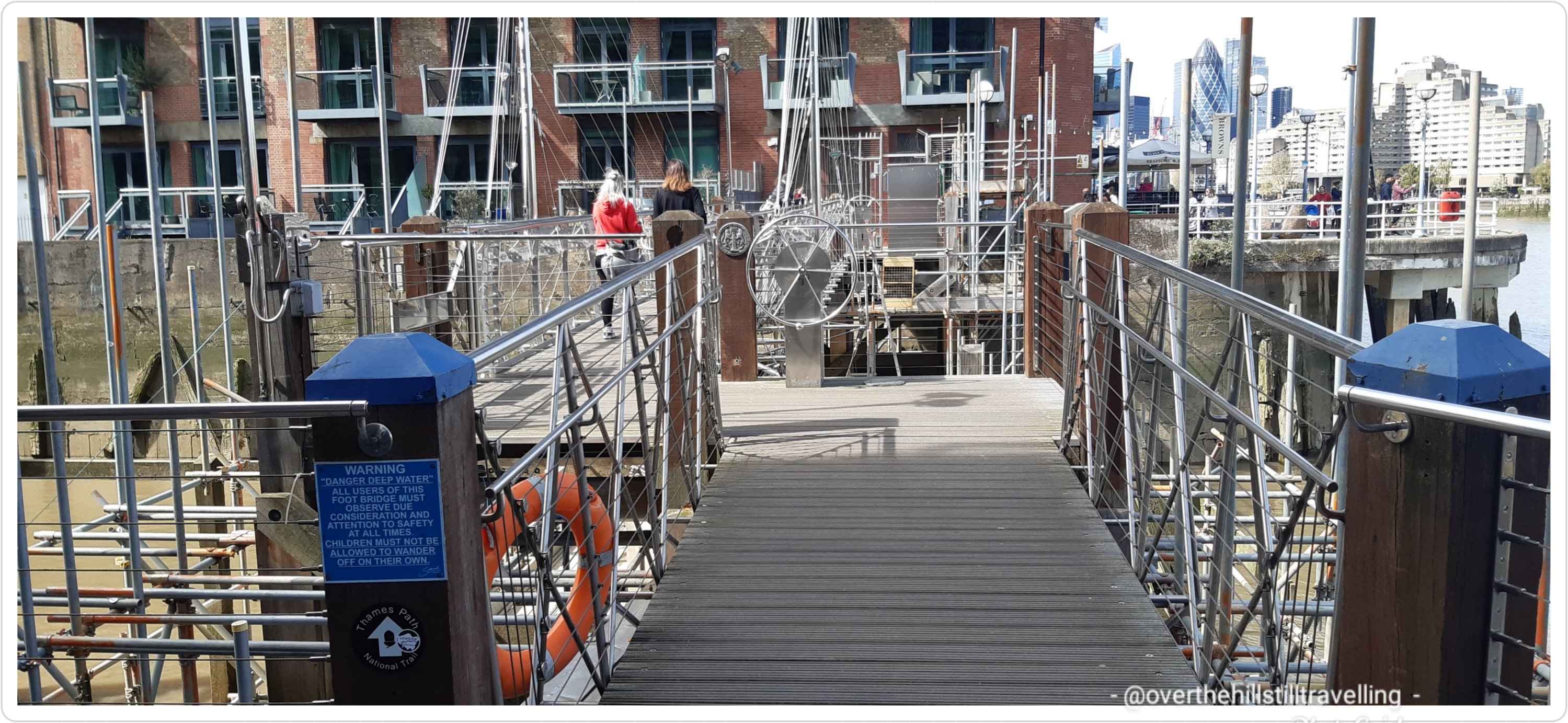
The Harpy Houseboat looked resplendent in red and blue as I whizzed on by, eager now to reach Tower Bridge. The crossing at St Saviour’s Dock was thankfully open or I’d have had another diversion to navigate.


And voila Butler’s Wharf. A truly superb place with lots of little restaurants, interesting sculptures, maritime relics and of course a fab view of Tower Bridge, and when the tide is out, a little beach to do some mud-larking.

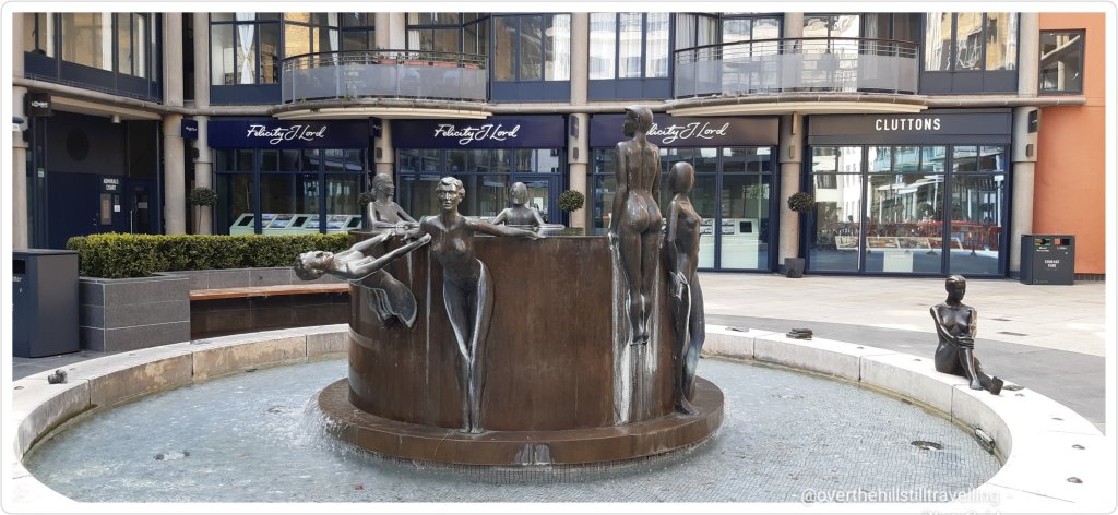
Hiding away in Courage Yard is the delightful sculptural fountain – ‘Waterfall’ by Antony Donaldson. Shad Thames is another fantastic place to while away the time.
Finally I reached the bridge and promptly bought a much needed soft-serve ice-cream with flake – of course LOL. The time was now 14:35 and I had left Greenwich Station at 10:40. 3 hours of walking….not too bad eh.

A short video showing various features along the Thames Path between Greenwich and Tower Bridge.
After a short break I set off once again. How lucky I was to have such amazing weather!!
From here I pretty much photographed ALL the main attractions and ALL the bridges LOL I won’t share them all (“Whew”, I hear you say 😁😁)…instead I’ve created a short video so you can see some of the amazing places along the banks of the Thames from Tower Bridge to Lambeth Bridge.
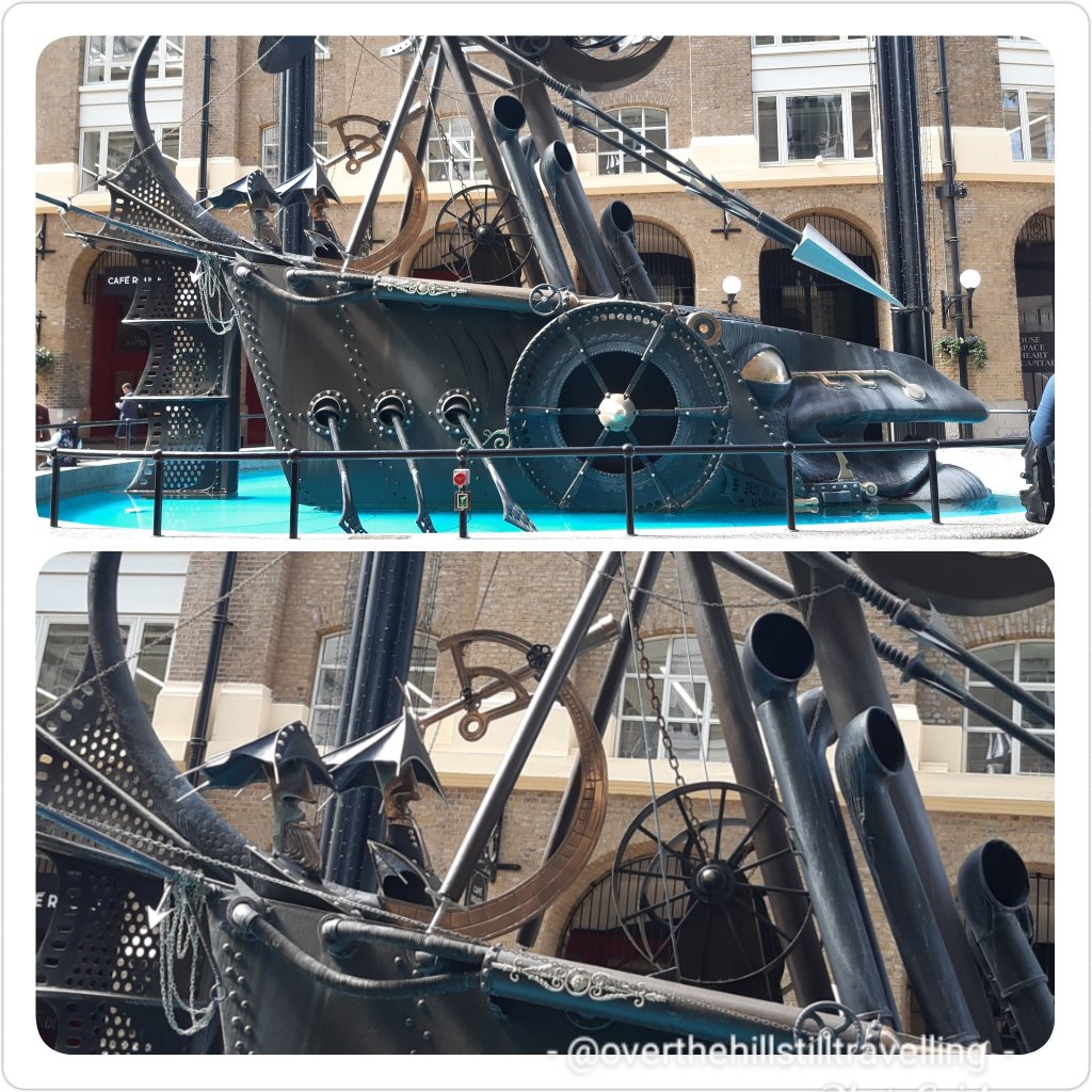
Of course I had to stop and capture an image of another of my favourite London sculptures; The Navigators, David Kemp at Hay’s Galleria.
Approaching London Bridge I chose to walk the back streets and past Southwark Cathedral, but first my favourite quote:
“There are two things scarce matched in the universe; the sun in heaven, and the Thames on the earth.” Sir Walter Raleigh.

By now I was walking through another favourite area; Southwark – soooo much history it’s mind-blowing. Southwark Cathedral, The Golden Hinde, Winchester Place, The Clink Prison, The Anchor Pub (from whence Samuel Pepys observed The Great Fire of London in 1666), The Globe Theatre and then Tate Modern. By now I had a fab view of St Paul’s Cathedral. I was dying to cross the river for a quick visit….but time was marching on, so I did too. Next time.

An ever so popular area in front of the Tate Modern where you can usually catch a busker or watch the chaps with their bubbles, which the kiddies love.

I tried walking along the South Bank, but it was incredibly busy and I felt quite crowded out. I got as far as Waterloo Bridge before deciding I’d had quite enough of the crowds thank you – but first a photo of the famous open air book market.

Crossing the river to the north bank

I snuck into the Victoria Embankment Gardens. Ever so glad I did…..it was a haven of tranquillity and ablaze with splendid colour. The flower beds here in spring time are absolutely marvellous with hundreds of colourful tulips.

Tulips in Victoria Embankment Gardens 
Victoria Embankment Gardens

I stopped for a brief respite and to snack while enjoying the late afternoon sunshine and peace, another of my favourite sculptures nearby; The Memorial to Arthur Sullivan by William Goscombe John. It’s ever so beautiful.

Then off again…still on the north bank till I reached Westminster Bridge where I returned to the South Bank. Along the way passing two of my favourite memorials; The Battle of Britain and Boudicca, and the White Lion sculpture at Westminster Bridge.

Battle of Britain Memorial 
Battle of Britain Memorial 
Bouddicca 
Embankment Lion
I stopped to take a pic of Big Ben but it’s mostly covered with cladding…oh well. I’ve got ‘hundreds’ of photos of the tower!!
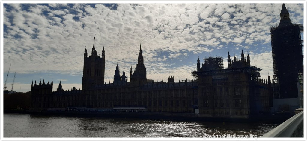
Once more across the river, opposite, the Houses of Parliament / Palace of Westminster looked dark and menacing – the sun was at just that angle.
I then followed the Albert Embankment towards Vauxhall Bridge.
Just outside St Thomas’s Hospital I noticed hundreds of hearts with names and dates painted along the wall of St Thomas’s Hospital boundary and thought “oh how lovely” without realising the significance. I was struck dumb and reduced to tears when I realised that is was a Covid-19 memorial and all those names I could see were of people who had died from the virus. It was shattering 💔💔💔

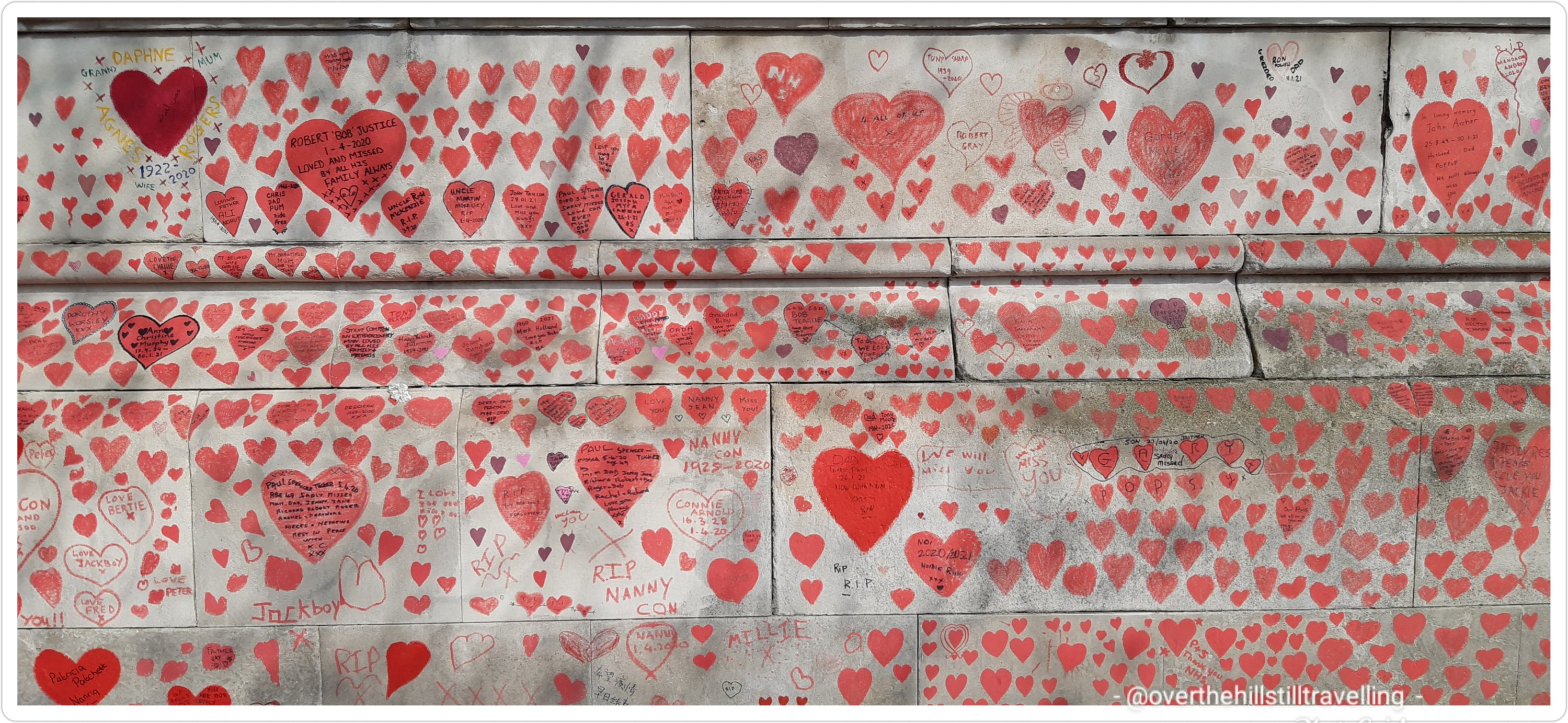
Covid-19 Memorial, Albert Embankment 
Covid-19 Memorial, Albert Embankment
After pausing for a few minutes to pay my respects, I continued towards Lambeth Bridge where I passed Lambeth Palace; home to the Archbishop of Canterbury. That never makes sense to me…..he lives in London? – Canterbury is in Kent near the coast?? Like the Palace of Winchester in Southwark?? Daft.

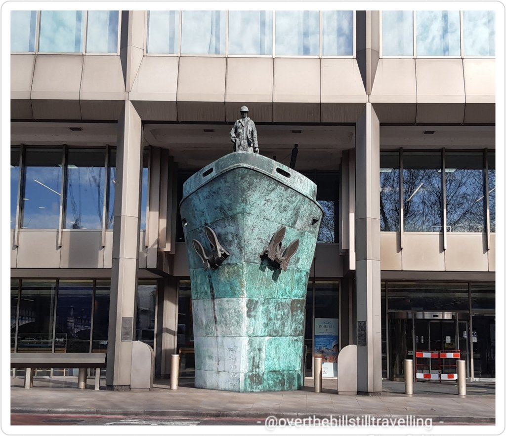
I was now passing through Nine Elms and making good progress. Passing the International Maritime Organisation I stopped for a quick pic of the International Memorial to Seafarers – Sculpture by Michael Sandle at the International Maritime Organisation.
At 16:51 I reached Vauxhall Bridge.

Due to the path being obstructed by apartment blocks, MI6 and of course further along the old Battersea Power Station on the next section of the river, I crossed over the river to the north bank at Vauxhall Bridge

MI-6 – where James Bond and ‘M’ work 
North side of the river
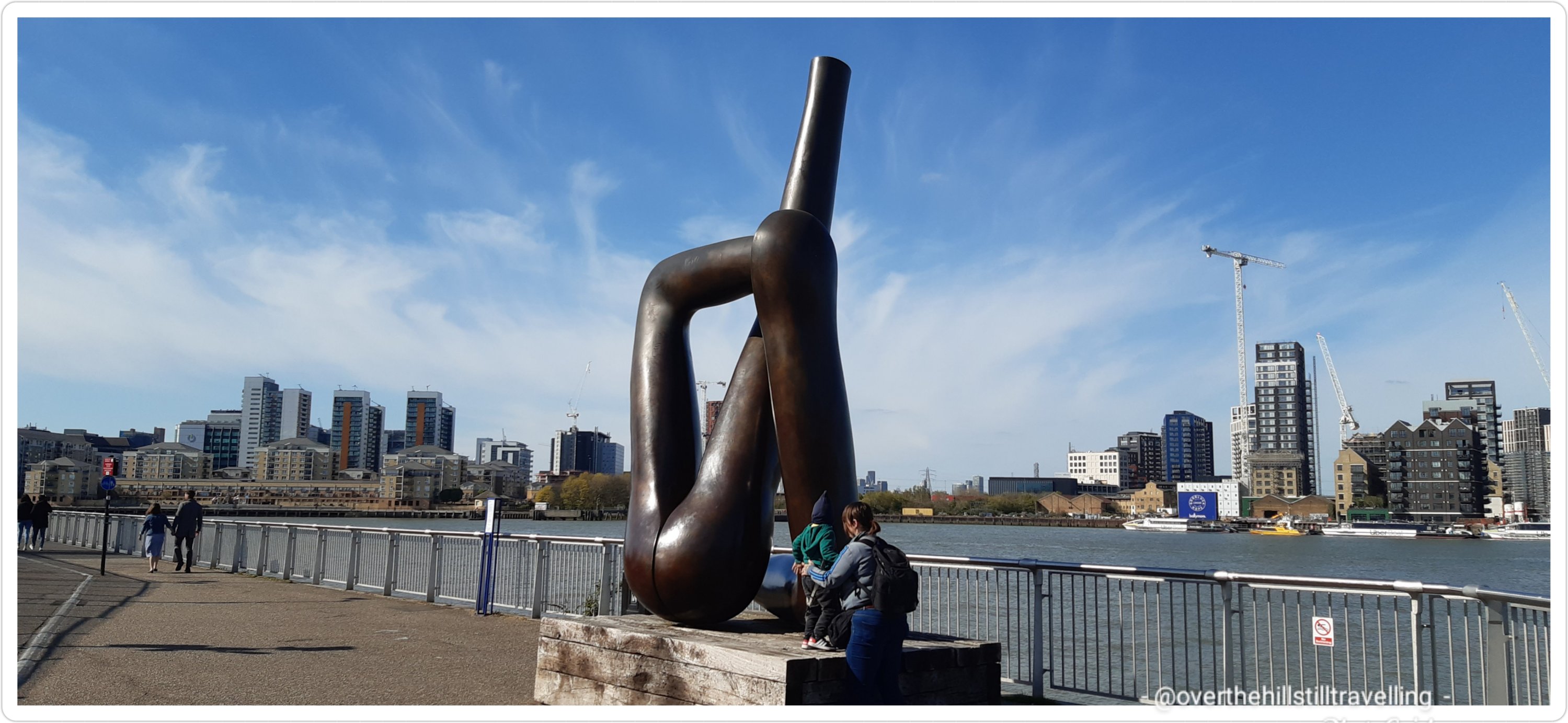
I had a fab view of MI6 – you know James’s Bond’s old haunt!! Back in the City of Westminster I popped into the small Pimlico Gardens where I saw an interesting sculpture; The Helmsman – by Andre Wallace. These sculptures always fascinate me…the mind of an artist!!! How they visualise these things is just amazing.

Not too much further and I was passing Battersea Power Station. I have to admit that I find it really strange to look at now with all the new developments that surround it.

And boom!!! 17:27 and I could see Chelsea Bridge just ahead of me! Looking back I had a fine view of the downstream skyline as well as the Battersea Power Station and the Grosvenor Railway Bridge.

And then finally I was crossing the river towards Battersea Park and reached the Chelsea Gate at just on 17:36 ! Hoorah. To my surprise the Thames Path makes it’s way through the park, so following the signs I made my way towards Rosery Gate and the station…home time!!!

Looking back from Battersea Park 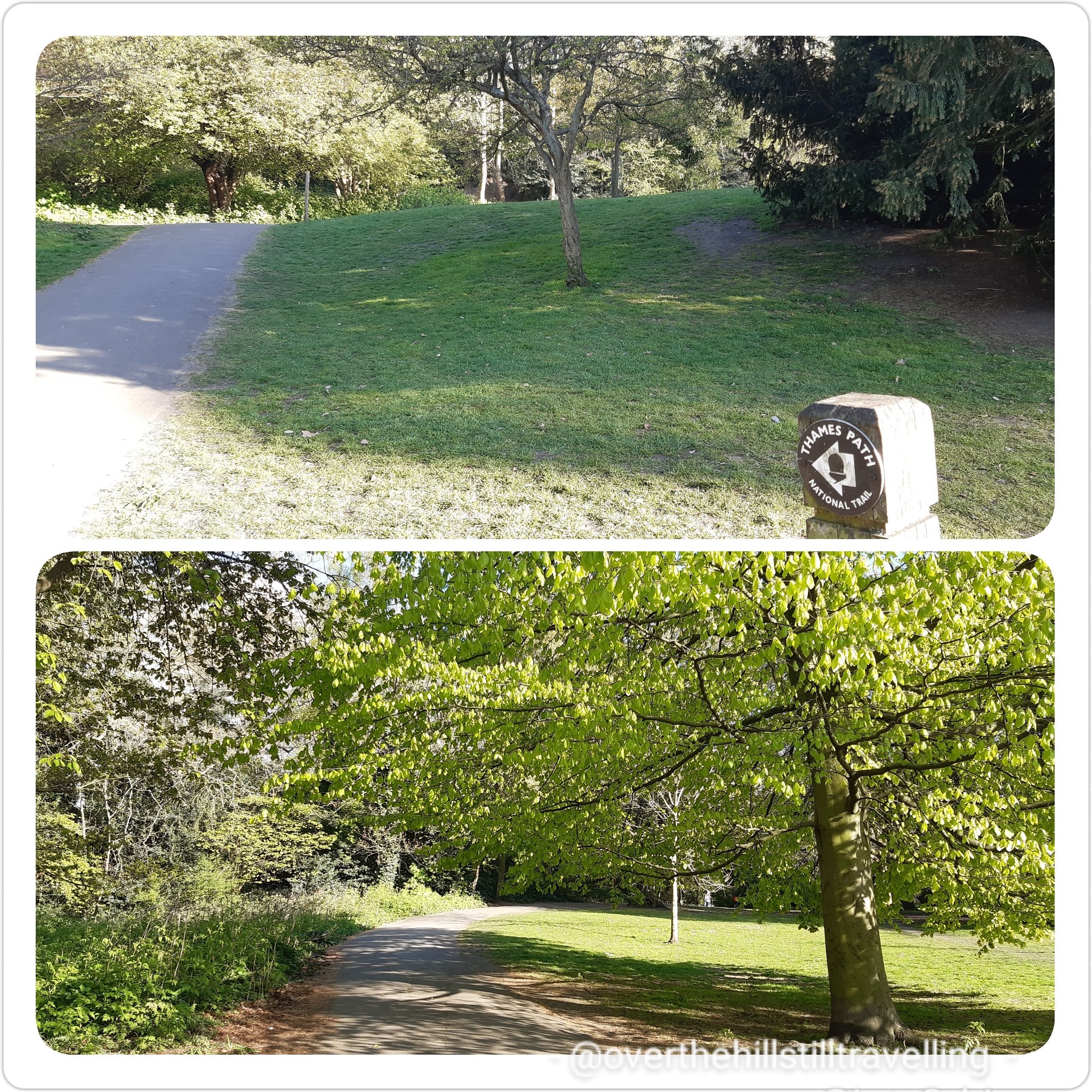
Thames path wends through the park 
Gatehouse at Rosery Gate, Battersea Park
I switched mapmywalk off when I reached the platform: 6 hours, 19 minutes and 46 seconds LOL

What a terrific day. Boy my feet were sore….. but although my feet were aching (38,376 steps!!) my heart was full of joy! I just love London and the day was absolutely glorious. I could not have wished for a better day. Stage 2 done and dusted. I then had a two day break; time with the family, before picking up again on 21st for Stage 3…..watch this space 🙂 Battersea Park to Richmond.
In case you missed the previous 2 posts:
Stage 1a – Walking the Thames Path; Erith to the Thames Barrier
Stage 1b – Walking the Thames Path; Thames Barrier to Greenwich


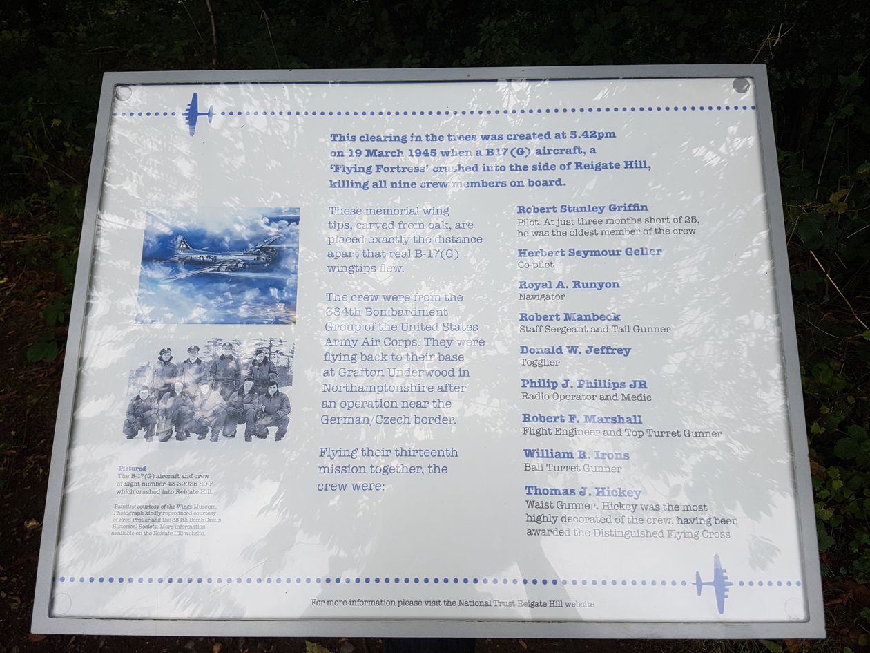
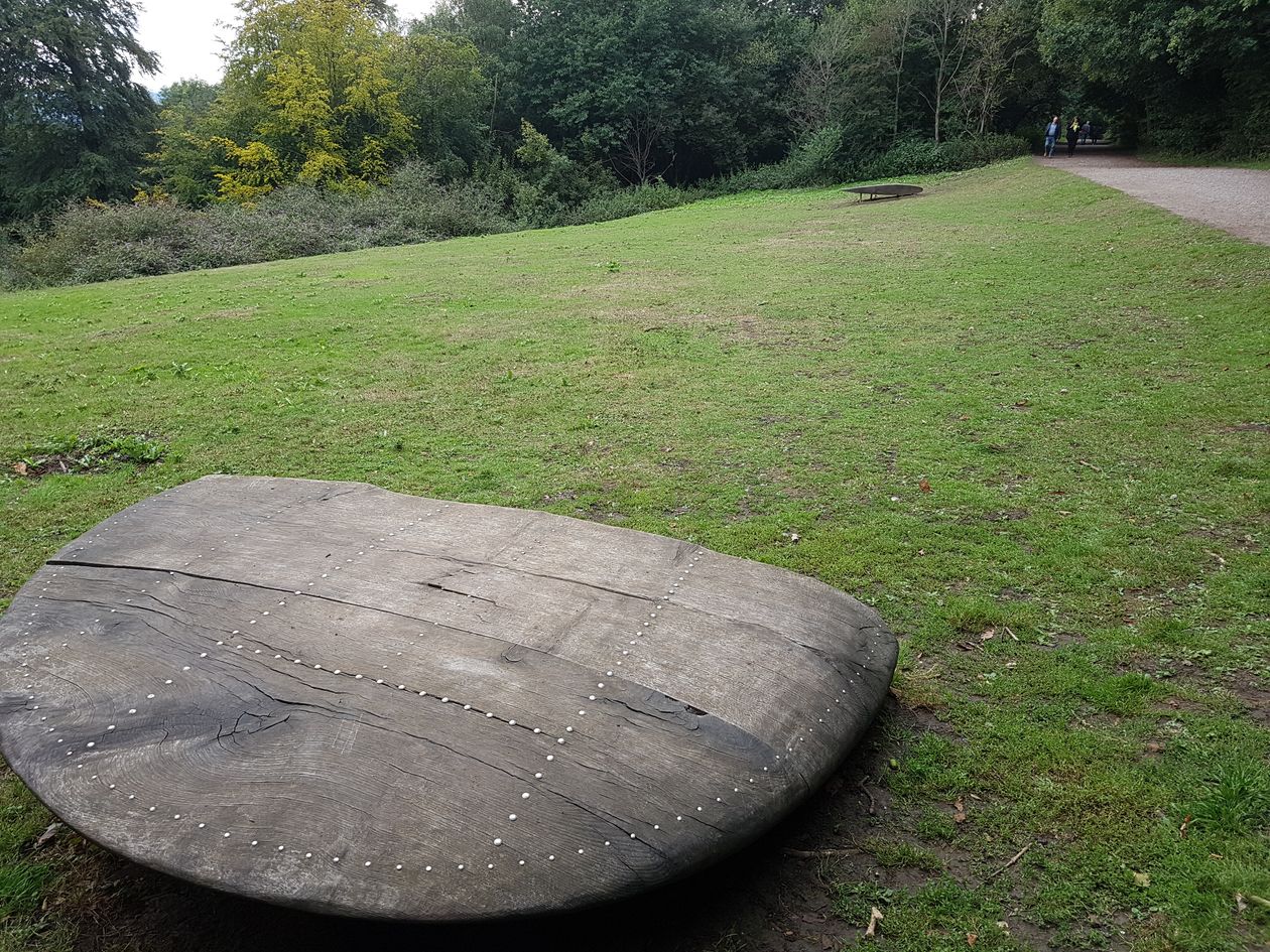
 My penultimate instagram post : Tonbridge: Homeward Bound – Sometimes sooner than expected. So, after a day of excruciating pain in my lower right leg, and totally hobbling around, I’ve had to make the executive decision to head home for recovery. I can’t afford to cause more damage since I still have to work next month. If I continue along The Pilgrim’s Way after my day in Tonbridge, the following 5 days of walking are all in excess of 20kms and the last is 12kms. I know for sure that I’ll do more damage if I continue regardless. I’m good at endurance but have to be sensible too. Clearly the fall I had on Sunday did more damage than I thought and I must have been favouring my hip and my right leg where I fell on Box Hill is really swollen and very painful. So, disappointing as it is, I’ve cancelled all my accommodation for the next week and will get back to The Pilgrim’s Way over a period of time. Unfortunately my dates going forward for the rest of 2018 are not conducive to completing the way in one go, so I’ll look at dates when I get home and plan it over 2/3 stages and probably plan shorter days. The only night’s accommodation I can’t cancel is the Canterbury date, meant to be my last night, it’s really disappointing to not be arriving as a pilgrim completing the way. I’ll take it up anyway (not too difficult to spend a night in Canterbury 😉) and work the rest of the route around my work dates. Urgh. But, as the Gambler said “You gotta know when to hold out, and know when to quit”. OK so I used poetic license there… But, cest la vie. Homeward bound for now, and back to the pilgrimage in the future. I may even start in Canterbury and walk backwards (not literally 🙄🙄) to where I am now 😂 😂 😂 Other people walk from Canterbury to Winchester, so maybe I’ll mix it up a bit and do the same. One thing this trip has done is give me a whole new perspective on certain aspects of life. But that I’ll blog about that later on. Thanks to everyone for your lovely support and encouragement, and sharing my journey. I’m disappointed at having to stop, but being a pragmatic person, I’m more concerned for my health. I’ve had a wonderful time so far, albeit unpleasant at times and some really difficult days, but I’ve seen some amazing places and met many wonderful people along the way, and thats what its all about. It’s the journey, not the destination. Anyway, it’ll be something for me to look forward to 😂 😂 😂

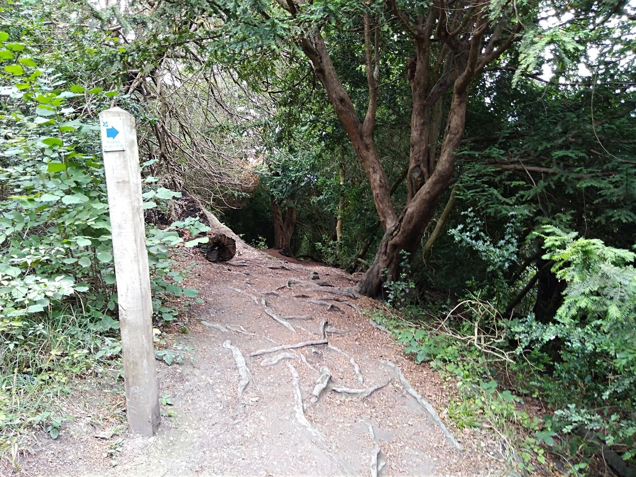
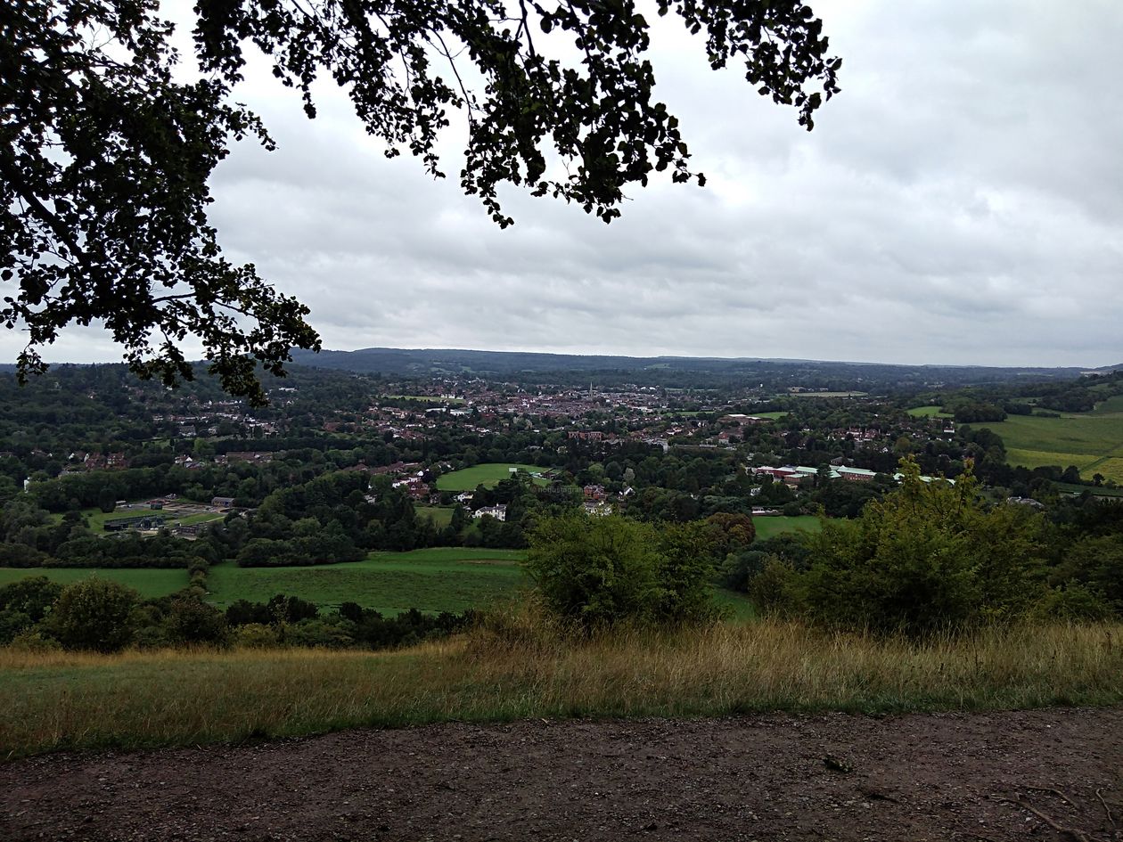
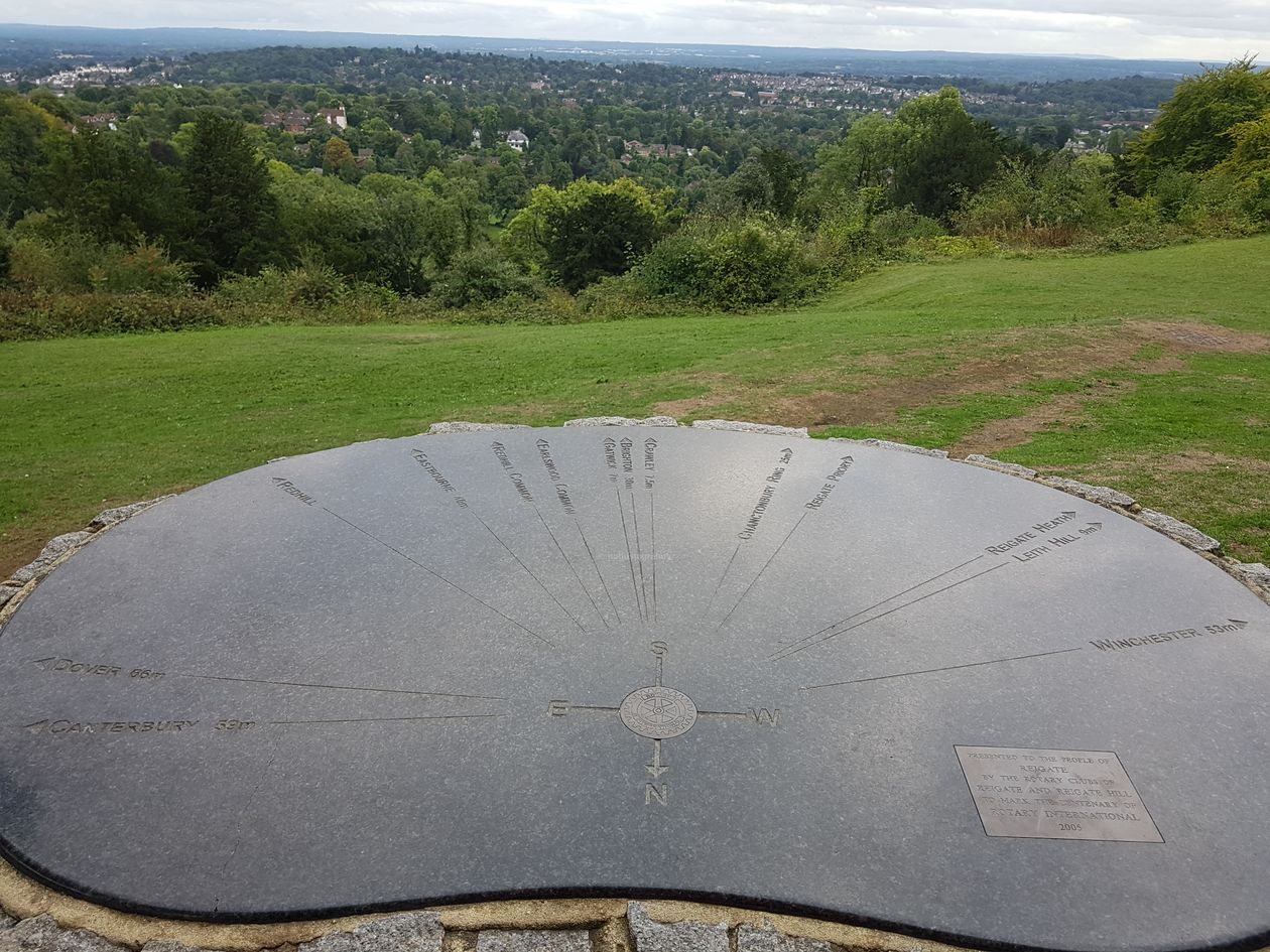
 Monday 27th August 2018 Day 7 – Tanners Hatch to Mertsham : 18.90 kms / 43,317 steps elevation 374 meters.


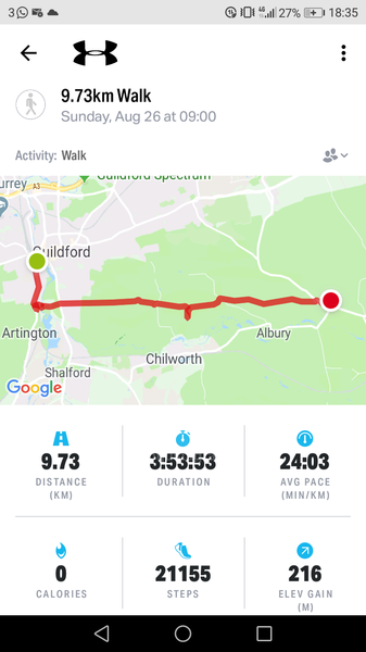 Sunday 26th August 2018 Day 6 – Guildford to Tanners Hatch : 9.73 kms / 21155 steps elevation 216


 Saturday 25th August 2018 Day 5 – (day in Guildford to explore) 4.68 kms / 12,773 steps elevation 65 meters


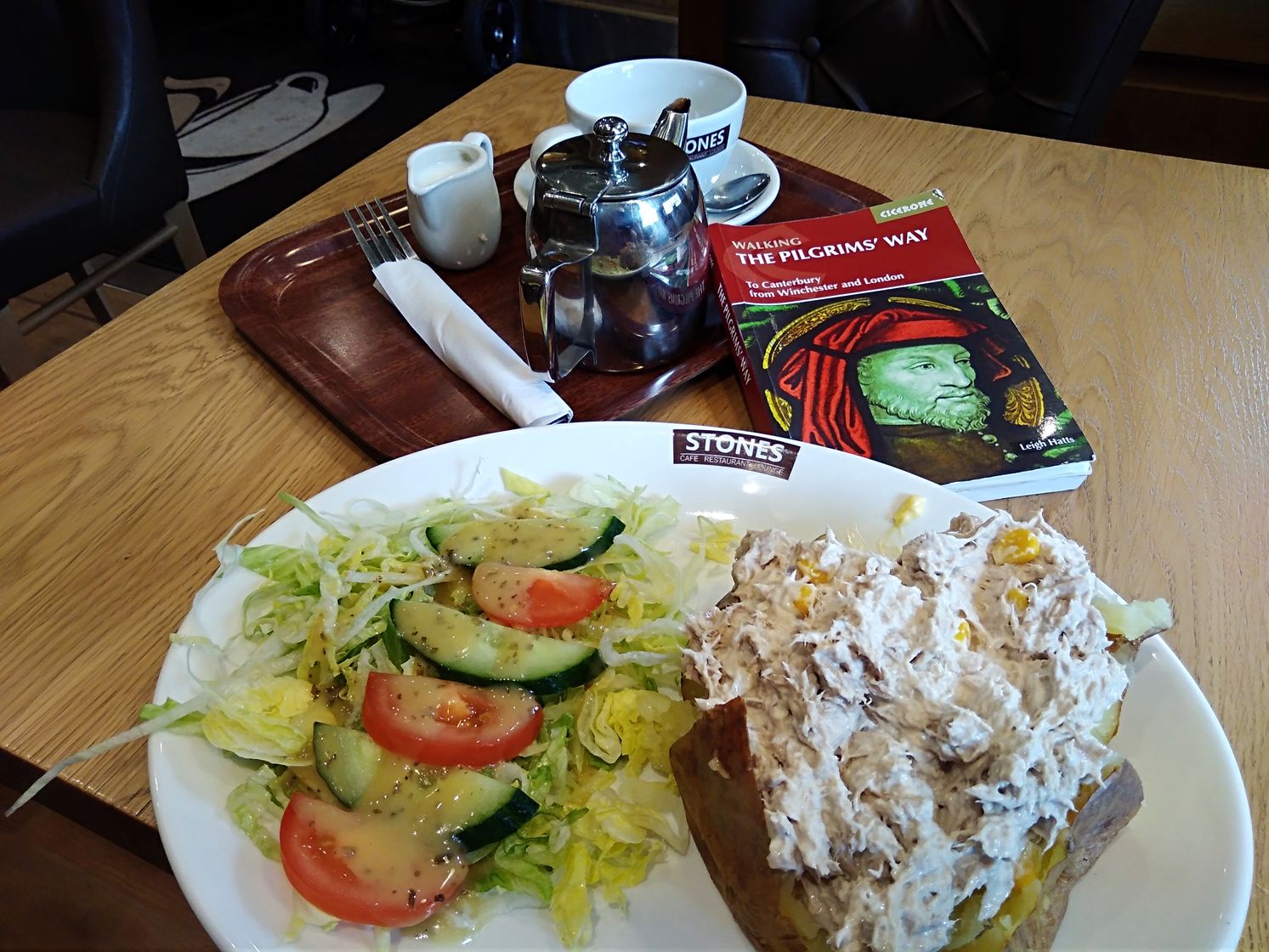
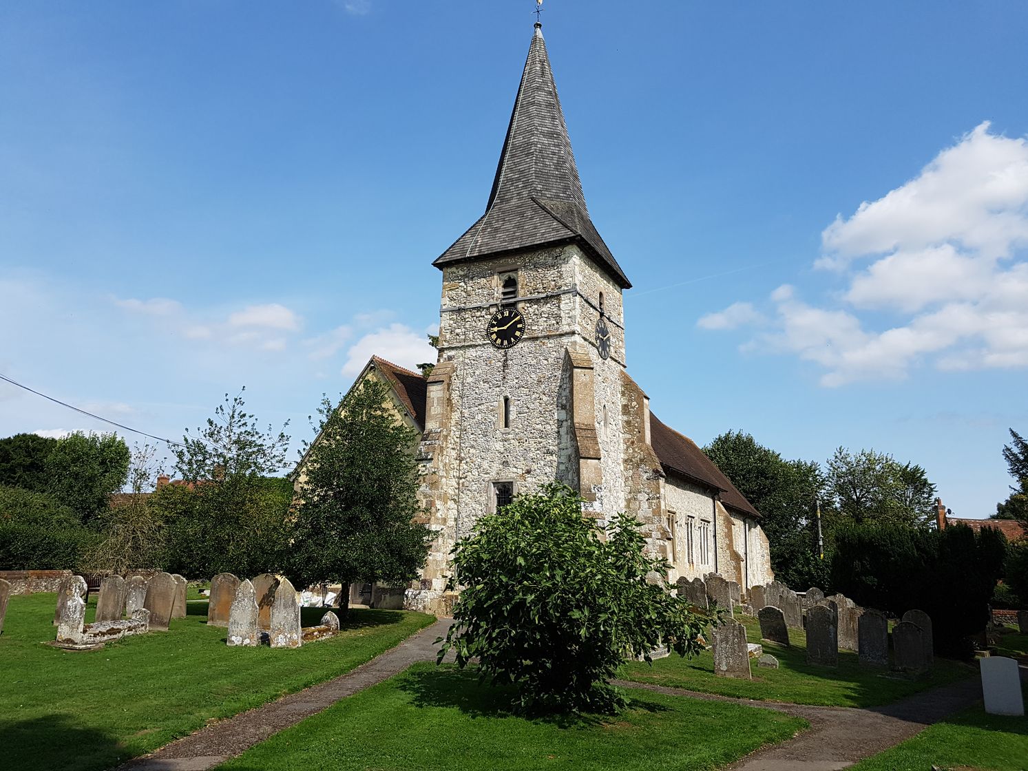
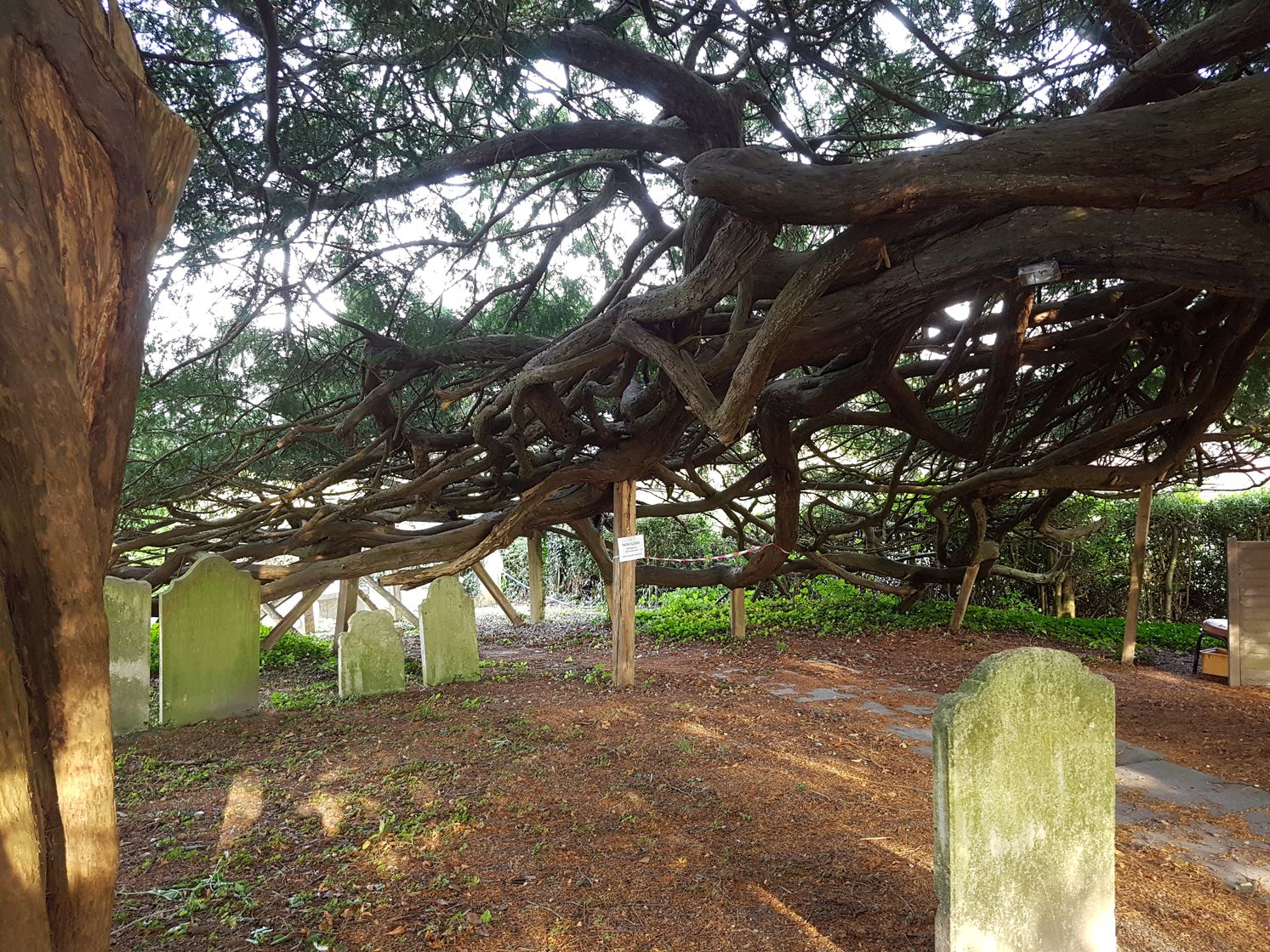
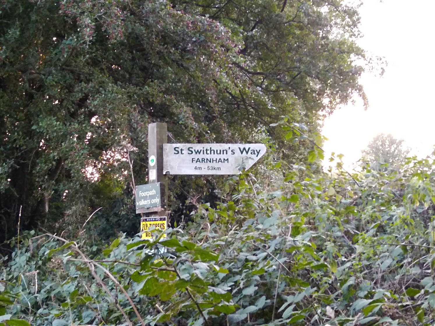
 Thursday 23rd August 2018 Day 3 – Four Marks/Alton to Farnham : 18.8 kms / 40,128 steps elevation 125 meters –


You must be logged in to post a comment.