Feeds:
Posts
Comments

Posts Tagged ‘Country Walking’

Really excited to receive my first postcard from my Alps to Ocean virtual challenge today.

Stage 1
Stage 1

I started the challenge on 30 December 2020 – I so enjoy reading the information that comes with the postcards; learning about places I never knew existed until I started these challenges.

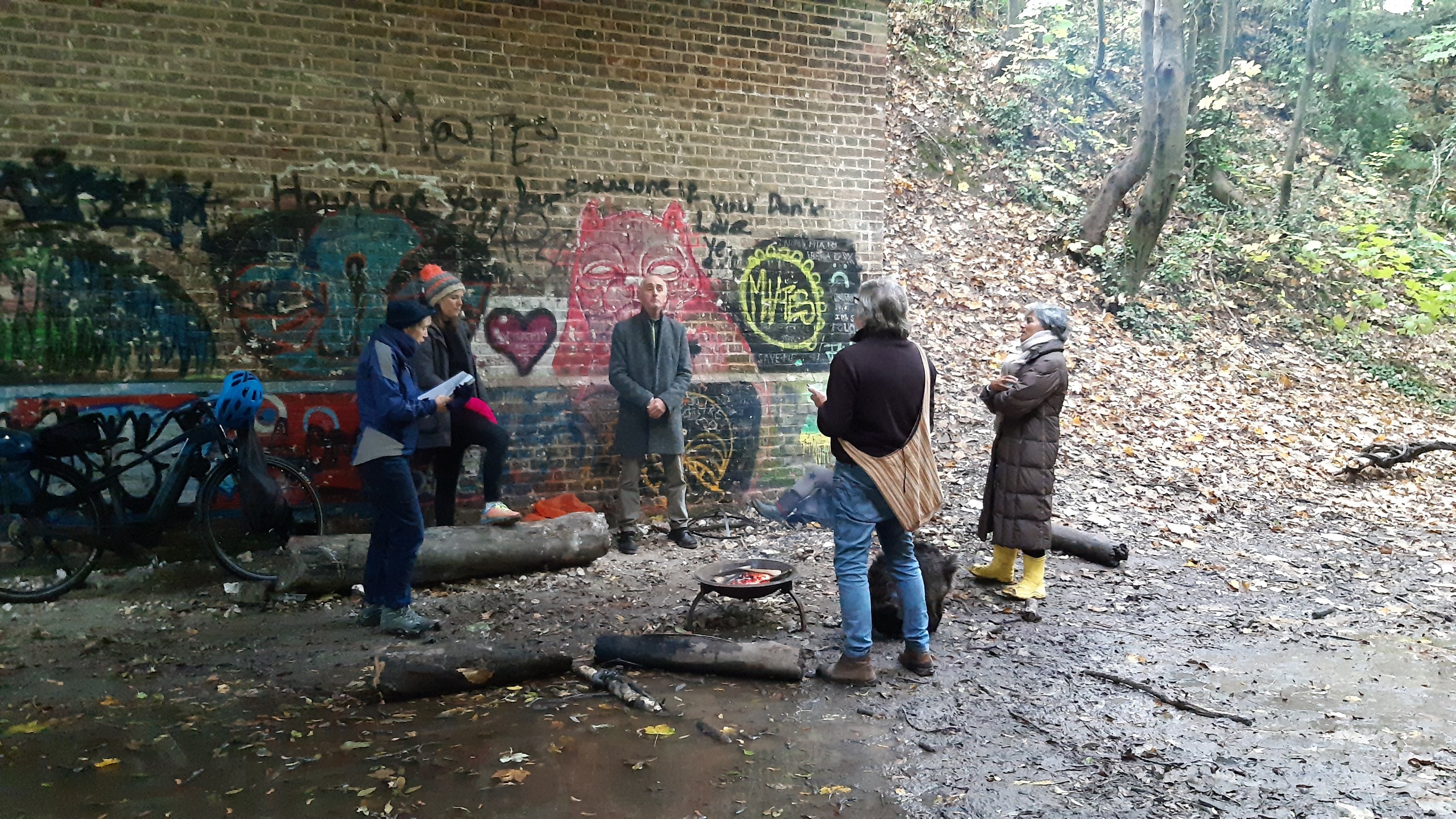
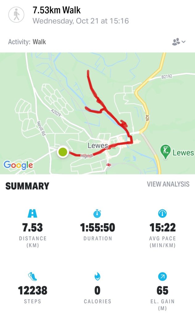
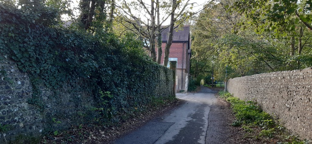
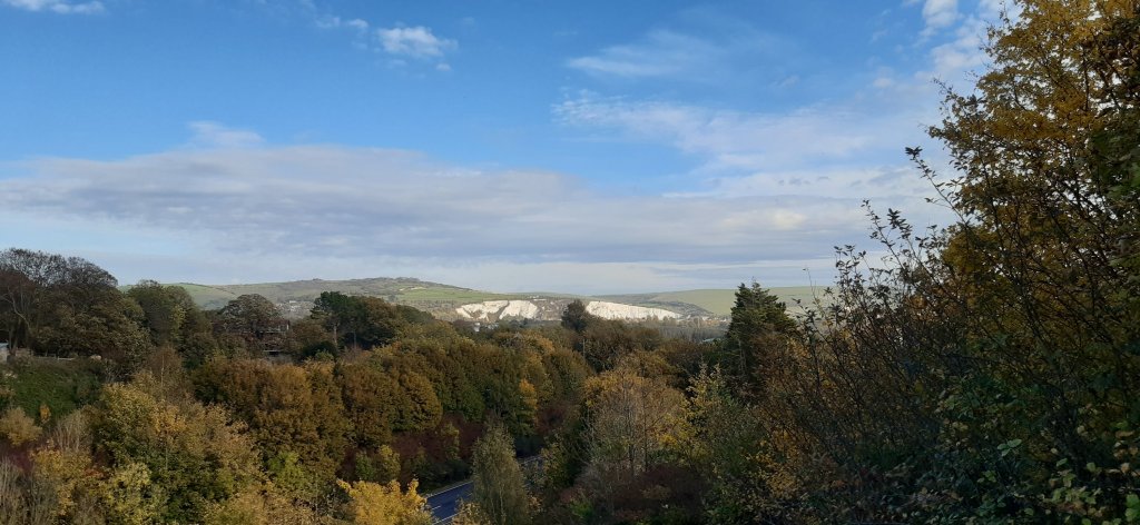
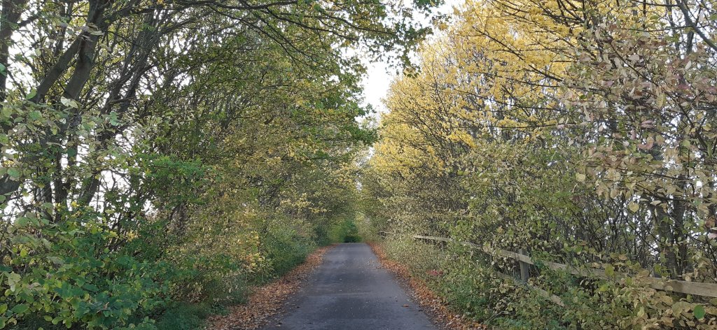
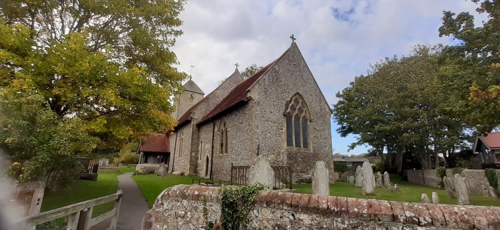
I was 20kms ahead when I arrived at my current assignment on Monday but if course with limited time and 2 days a write off, I’m going to be hard put to keep up to speed 😉🚶🏻‍♀️🚶🏻‍♀️🚶🏻‍♀️ I’m going to try get up to date with the blogging and postcards as well….so here goes.

Alps to Ocean, New Zealand

Imagine crisp alpine air, snow-capped peaks, glaciers, milky lakes and starlit nights. The training ground for Sir Edmund Hillary’s climbing skills in preparation for Everest. The legendary story of Aoraki and his three brothers. These are just some of the highlights of Mount Cook.

At 12,217ft (3,724m) tall Mount Cook is located on the South Island and the tallest mountain in New Zealand. It sits within the Mount Cook National Park which runs 37mi (60km) in a southwest-northeast direction. Home to more than 400 flora and fauna the national park is part of the Te Wāhipounamu South Westland World Heritage Site. The park is also home to 35 species of birds, including the only alpine parrot called Kea.

When I was looking into Mount Cook, I was wondering about the 98ft (30m) height discrepancy between different written sources. Further investigations revealed that in 1991 an avalanche of 350 million cubic feet (10Mm³) of snow and rock followed by twenty years of erosion had shrunk the mountain’s elevation by 98ft (30m).

Of the twelve largest glaciers in New Zealand, eight of them are within the park with Tasman Glacier being the longest at 15mi (24km). The glacier terminates in the Tasman Lake which up until the 1990s never existed. The lake was formed due rapid glacial melting whilst the glacier itself continues to recede annually by as much as 2,697ft (822m). It is anticipated that within a few decades the glacier will be completely gone and the lake fully formed.

The lake’s primary outflow is the alpine braided Tasman River which flows south for 16mi (25km) through the Tasman Valley and into Lake Pukaki. The glacier, lake and river were named after Dutch explorer Abel Tasman, who in 1642 was the first European to sight the northwest coast of NZ’s South Island.

My journey begins at the base of Mount Cook, northwest of the river. Needing to cross the river to connect to Rotten Tommy trail, I took a short helicopter flight. The aerial view of this glacially-fed river and Mount Cook was a sight to behold. From Rotten Tommy, I took a southward bound route alongside the Tasman River. Although part of the route was quite rough and I had to cross several creeks, eventually the track changed to gravel road and made it easier to navigate towards my first overnight stop. Being a clear and sunny day, I had the treat of seeing Mount Cook in the distance rising above the lower snow-capped peaks in the National Park.

Before I go let me tell you about the Ngāi Tahu legend. The story goes that once the “Gods existed in the midst of a great sea of nothingness” and Raki, the Sky Father and Pokoharua-te-po, his wife had four sons, all living in the heavens. Raki left his wife to be with Papatuanuku, the Earth Mother, and together they created the world. Aoraki, the eldest son of Raki, along with his three brothers came from the heavens with a canoe in an attempt to persuade their father to return to their mother. Upon seeing him together with his new wife, the brothers knew Raki would never return. The brothers decided to go home but unfortunately their canoe wouldn’t rise and following strong winds and rising seas, the canoe overturned tipping the brothers into the water. Climbing atop the upturned canoe they waited for help. As time passed with no help coming, they eventually turned to stone. The canoe became the Southern Island and the brothers became the Southern Alps with Aoraki (Mount Cook) being the highest peak.

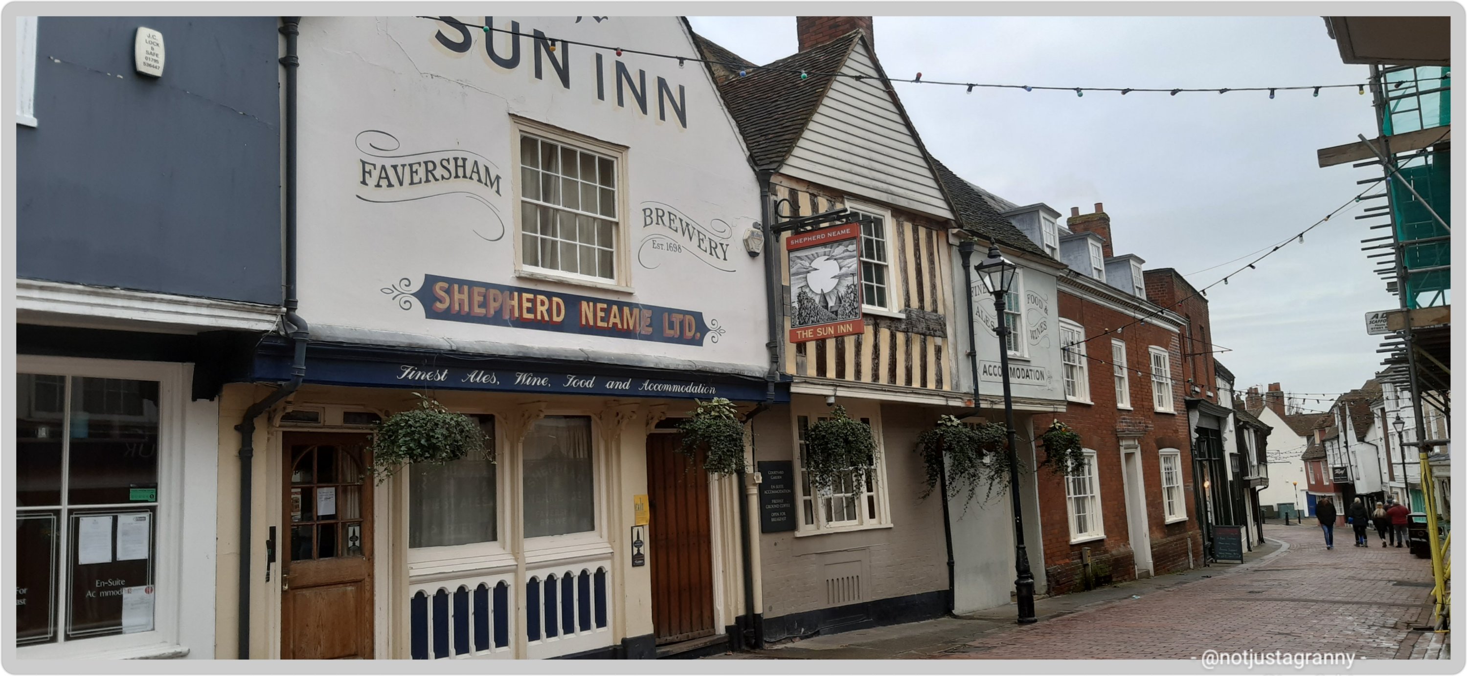
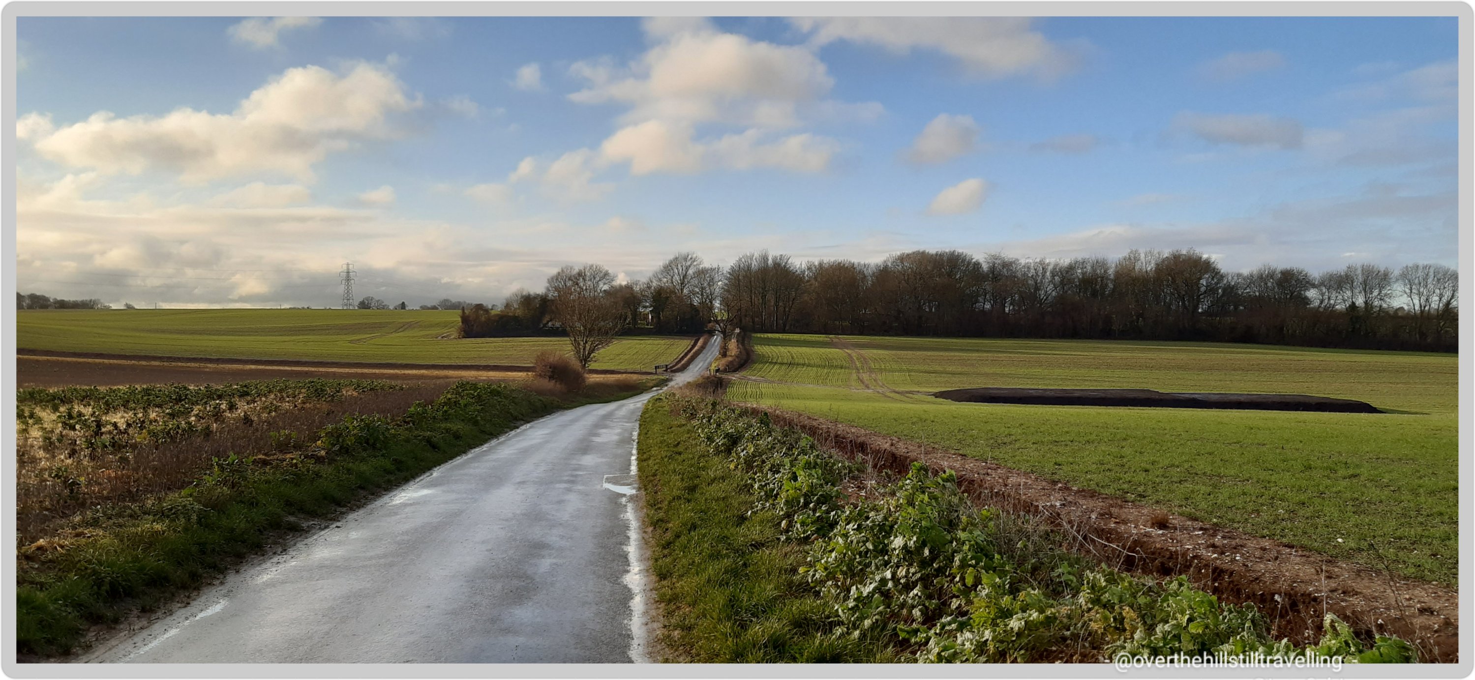
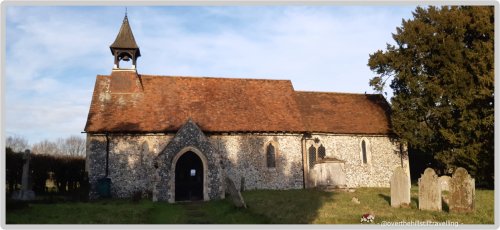
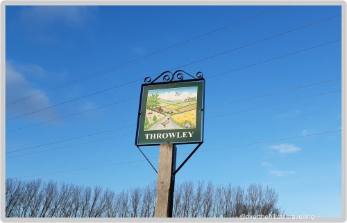
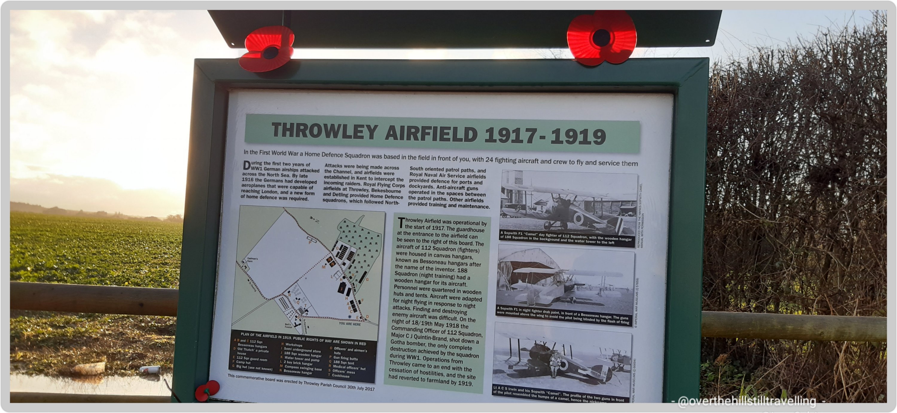
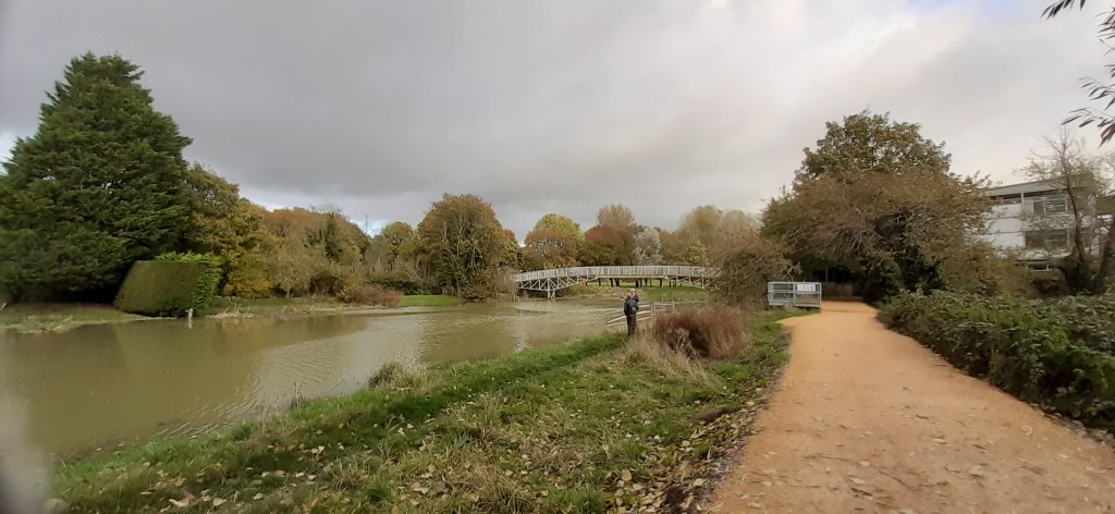
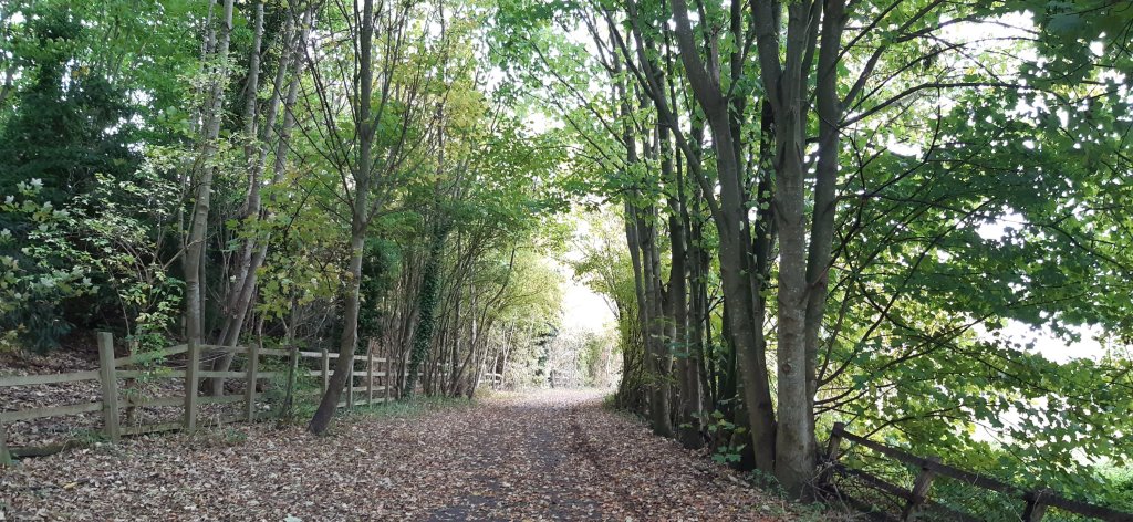
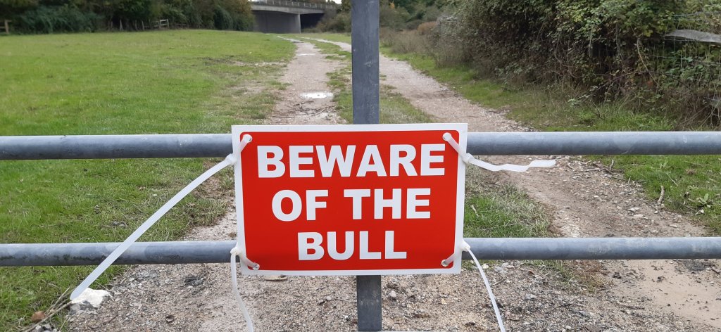
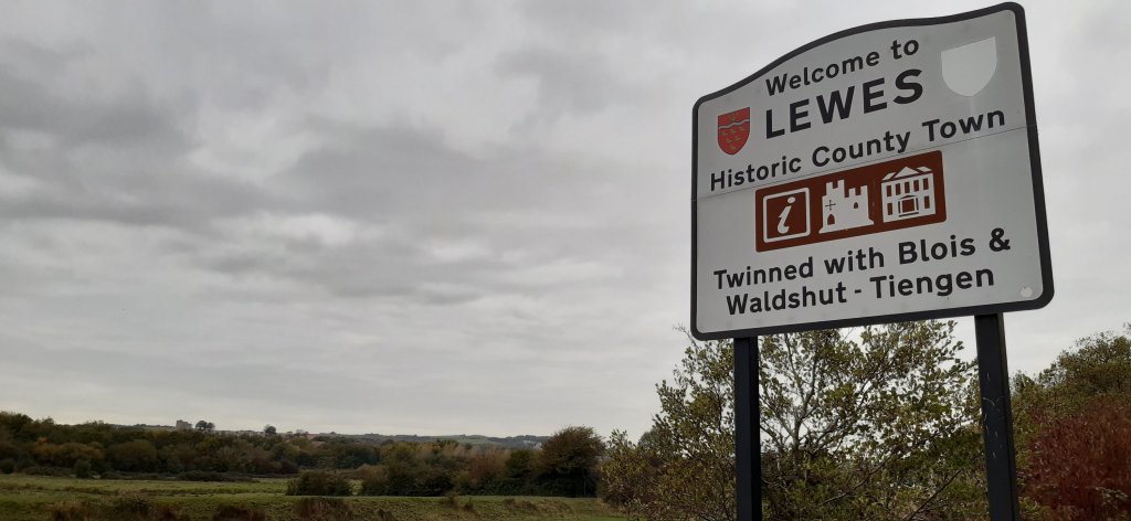
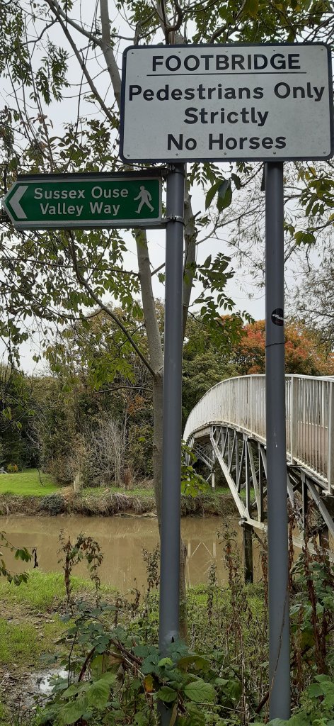
So far along this challenge I’ve walked from Ramsgate to Faversham over a few days and 3.5 days in Throwley. I wonder where else my journey will take me!!

Read Full Post »

Last night, after standing outside looking up at the starry starry sky….I thought for sure we would have frost this morning…🌠🌠🌠🌌🌌

I went to sleep in Kent and woke up in Narnia ☺☺☺ its beautiful and magical and ☃️☃️☃️☃️☃️☃️

I went for a short walk up and down the road……

The Nothing….

I’m hoping to get out for a proper walk during my break coz my kms are lagging behind now. Although the visibility at road level is good, I fear the surfaces are a tad slippery, so I’ll have to walk with more caution and less zeal 🚶🏻‍♀️🚶🏻‍♀️🚶🏻‍♀️🚶🏻‍♀️

Read Full Post »

My latest assignment has not taken me too far afield this time and I find myself in the depths of Kent. Not too far from where I’m located are villages familiar to me; Charing for instance….I stayed there on my pilgrimage to Canterbury in September. 🙂 so that’s been a fun discovery. I am of course familiar with Faversham having stayed there in 2017 during my Chaucer’s Canterbury Tales walk from Southwark Cathedral to Canterbury Cathedral, as well as which I finished my latest stretch of the English coast there last Saturday – from Whitstable to Faversham. The Sun Inn; 14th century inn, was the perfect place to stay and I’d love to stay there again sometime.

the sun inn faversham
The Sun Inn, Faversham – 14th century inn with the best room and bath ever

However, the house where I’m working is toooo far from Faversham for me to do any proper exploring, but I have a few country roads I can follow and so far I’ve had 2 good days to get out and about. Of the 5.5 days I’ve been here so far, 1,5 produced rain and 2 produced fog…so I’ve only managed 2 proper walks since arriving on Monday 4th. The sun looks like its burning through the fog so hopefully tomorrow will be a good day for walking.

foggy day in kent
a foggy day in Kent

In the meantime the two walks have unveiled some gems as far as churches are concerned and some amazing houses…..some of which date back to the 15th century. In fact the house I’m working in was built in 1435!!! It’s pretty awesome with some fabulous beams and a huge fireplace. The floors are really wonky and sink in the middle and without heating, its VERY cold!!! I’ll let the photos do the talking

country walking
the long and winding road…..
first world war throwley airfield
Throwley Airfield 1917-1919
the old school house
The Old School 1873-1935
houses at Throwley Forstal

Although I haven’t been able to get out that much, I have walked far and wide, clocking up 16.3 kms over 2 days. Its something of a challenge to find different routes when you’re limited to long stretches of road and a 2 hour break. If I had longer, I’d walk to Faversham for sure. It’s only 5 miles away but would take 1hour 35 minutes to walk there and no time to return before my 2 hours is up!!

I have though seen 2 beautiful sunsets and enjoyed the lengthening shadows of the graveyard. Hopefully tomorrow will bring fine weather so I can get out again…

p.s. there may be a problem with the photo galleries…..if there is I will fix them later…..they look fine via my computer, but on my phone there seems to be an issue….sorry for that.

Read Full Post »

Walking never fails to throw up a few surprises and today was no exception.

It poured with rain this morning and I thought for sure my plan to walk during my break was scuppered. But by early afternoon the clouds blew away (mostly) and the sun shone bright and by 3pm it was lovely and sunny, albeit very windy.

I decided that today was the day to walk along that disused railway line, and I’m ever so glad I did….there was a delightful surprise in store.

Looking back towards the town from the entrance

It’s a beautiful walk, hundreds of trees create a green tunnel with crispy autumn leaves underfoot, and of course….lots of muddy puddles.

I did some ‘Paul Simon’ as I walked and as usual thanked my walking poles for keeping me upright 😁😁😁 Of course it had rained, ya dim woman. What a day to choose. But never no mind, on I plodded…slip sliding away…the nearer my destination….

About halfway along I noticed a beautiful towering Victorian bridge and just beneath that a group of 6 people standing about. Not at all sure what was waiting ahead, I tried to look confident and in control…as I neared the group I could hear singing

To my delight the group of people was a small choir practising for a concert and enjoying the acoustics provided by the bridge!! They were grouped around a brightly burning fire dancing merrily, it looked utterly cosy and I felt quite envious

Magic.

I stopped to listen to listen and they kindly agreed to my recording it ☺☺ the sound was amazing. After saying my thanks for the impromptu concert, I carried on along the path right to the end and passed a 2nd bridge along the way, but sadly, no further choirs….

As I neared the end of that wide green green tunnel narrowed suddenly and petered out into a narrow path amongst bushes. The whole length of that section of the railway line is 1.216kms 😁

Uninviting…

Walking back I was hoping to hear the group singing again but unfortunately as I neared the bridge I noticed them walking ahead….too bad. Their singing was amazing and I could still smell the fire.

I noticed a few left overs from the days of railways past

The detritus of humans

From there I took a quick walk upstream, on the west side, to the end of the pathway. The river, swollen with water after the downpour had burst its banks. It looked quite amazing; fat and lazy meandering its way downstream.

The path is fantastic to walk along, so I walked right to the end.

Followed right to the end…

I love this view the most

My favourite view, looking downstream

In all a most enjoyable walk and despite not pounding along like I normally do, I managed a decent 7.53kms / 12238 steps. I also noticed that the hill, at the top of which I’m currently working, has an elevation of only 65 meters….it feels more like 650 when I’m trudging back after a long walk 😉

Mapmywalk

And now I only have 8.5 days left in Lewes. Time to conquer that blessed path downstream to Southease….

Oh and please cross fingers 🤞🤞🤞🤞 for a fine day on Saturday. I want to visit the castle, it’s my final opportunity.

Read Full Post »

When Danny Boyle incorporated those famous words; our green and pleasant land into the Opening Ceremony of the 2012 Olympics, he must have been talking about the hills of the South Downs….

“The aerial photograph reveals a pretty maypole, water mill, orchard and pasture inhabited by 70 grazing sheep. A village cricket green, orchard and farmers’ cottage complete the entrancing scene”. Extract from Daily Mail.

The only thing missing from my walk today was ‘a pretty maypole’ and I saw a windmill rather than a watermill.

I decided to spread my wings today and cross the downs to the little hamlet of Kingston. It looked close on the map, and unusually for me I didn’t do a distance calculation…. decided to just go.

It was a LOT further than I expected, but it was fabulous. The downs really are just beautiful and the green fields literally spread from horizon to horizon….as far as the eye can see.

I whizzed on down the now familiar route of Rotten Row past the non-existent Winterbourne Stream, left into Bell Lane and hung a right at the Swan Inn, and right again onto Juggs Lane.

Juggs Lane

A real country lane, narrow and lined with grass verges and trees, and hedgerows. I passed the occasional house nestled amongst the trees, and driveways leading to hidden houses, and soon crossed the motorway farrr below. The views across the valley to the east were spectacular and in the distance I could see the white cliffs above Cliffe, the Lewes Golf Course and the chalk downs where I walked last week.

I walked across those white cliffs last week

Autumn is truly here now and showing her fabulous colours. The road crossing the bridge and up the hill was of course metalled, my least favourite surface for walking. A group of cyclists whirled by, a mix of old and young – the youngest probably about 5 years old….a brilliant road for learning to ride safely.

Autumn, my favourite season

But soon I left that behind as the road became a sandy track beneath a tunnel of trees….the wind was howling through the tunnel like a freight train, the branches creaking and cracking with the strain. Passing a couple of orchards and definitely a few cottages one of which had horses and free range chickens.

Absolutely fantastic. It felt just wild!!

The path went on for quite some way and then through a gate and onto the rolling green fields….a green and pleasant land…..

I was completely on my own and the sense of freedom and wildness as the wind tried to sweep me off my feet was exhilarating. I can quite see why Julie Andrews ran and ran singing “the hills are alive…” and all that. But this girl doesn’t run (unless her life is at stake 🤣🤣🤣) so I just thought about it. And I definitely wouldn’t give up the day job to sing….

Mind you, I pretty much flew across the field with the assistance of the wind and soon realized that I had possibly miscalculated the distance relative to my free time of 2 hours….that field went on and on and on. And the wind howled like a dervish

Howling like a dervish 😃😃👏👏

To my excitement I spied a windmill (not a watermill but good enough) in the distance, the arms stationary without sails, but I could just imagine how fast they’d be whirling with the force of the wind.

A windmill 😀

I finally reached a farm gate and checking my app saw that I was near the road that leads into Kingston. Within 5 minutes of walking I was there. A quick visit to the 13th century ‘St Pancras Church of Kingston near Lewes’. Beautiful little church but again closed. I wish himself Archbishop whatshisname would pass on some of the wealth hidden in the vaults of his church and send some money to these parishes so they can afford to open up these amazing little churches and have them cleaned according to Covid-19 standards after visitors.

St Pancras Church of Kingston

By now 1 hour and 10 minutes of my break had passed so a dash of speed was needed. Finding the ‘finger’ post (really? That’s what they’re called?!) opposite the pub as directed by a local, I was soon wending my way along a ‘twitten’!! Yes, that’s exactly what he called it, and yayyy me, I knew what he meant 😉 Its so weird hearing locals talk about the twittens. I’ve travelled extensively in England and the UK as a whole, and I’ve literally never heard the word before, but I shall never forget it, and may just introduce it to some other areas of the country – twitten sounds so much more romantic than ‘lane’. Not to be rude about lanes or anything but….

A twitten in Kingston

Said local man suggested it should take me no more that 30 minutes to get back to Lewes and he was spot on.

After leaving the twitten behind me I crossed an enormous field and in the distance I could see the grazing sheep and cows…thankfully in the distance..

Then through a very smelly and muddy farmyard. I think it takes a certain type of person to cope with muddy yards. It would drive me crazy and I’d be constantly trying to clean it up 🤪🤪

From there I crossed a narrow road and onto a cycle path. Hoorah for cycle paths. This one took me nearly all the way into Lewes but at the cricket field I turned off the cycle path and onto a far prettier and more pleasant bridle path.

The bridal path

Suddenly I was on familiar territory having walked this way a couple of times now and soon passed the Priory and then left into Southover High Street, past Anne of Cleves House and the stunning Manor House

Manor House

Then right at the Swan Inn, right into Rotten Row, and left into the High Street.

Swan Inn, Lewes

8.94kms, and 1:59:16 – I arrived back at work with 44 seconds to spare 😃😃 total number of steps 13365 : elevation 111 meters….enjoyment; immeasurable.

Another fantastic walk done and dusted. I love seeing different parts of the country and always try to visit somewhere other than where I’m working. I’ve explored Lewes thoroughly now and beyond an outstanding visit to the castle (Saturday hopefully) and my still unaccomplished walk downstream of the river and the walk along the disused railway track, I think I’ve seen pretty much all of Lewes and then some.

But I still have 9 days here so I forsee a few more interesting explorations in my future

Mapmywalk
A short compilation

Read Full Post »

Hoorah!! I did it! I finished walking the Inca Trail; virtually 😃🚶🏻‍♀️🚶🏻‍♀️

Hoorah!

My walk today; 10.38kms took me over the finish line by .08km and challenge #4 is complete. As always the postcard that popped into my mailbox is gorgeous and really makes me want to walk the trail for real. But its quite a long way away, so I shall settle for having walked it virtually.

Machu Picchu

Voted as one of the New 7 Wonders of the World and listed on the UNESCO World Heritage Site in 1983, Machu Picchu is a 15th century Inca citadel steeped in mystery and myth. Thought to have been built on the request of the incumbent Emperor Pachacuti as a royal estate, Machu Picchu is an engineering marvel. Built without mortar, the stones are cut so precisely, they fit perfectly together. Sitting atop two fault lines, during earthquakes the stones knock against each other and then fall back into place.

The rise and fall of the Inca Empire lasted a mere 130 years. Following the Spanish invasion of the Inca Empire in early 16th century, Machu Picchu was abandoned with the Spanish unlikely to have ever seen it. Left to the elements the citadel was grown over by vegetation and forgotten over the centuries until 1911 when Hiram Bingham III of Yale University, visited the site as part of an expedition in search of another city. Returning the following year, Bingham spent 4 months with local labour to clear the vegetation and the next 3 years excavating and studying discovered artifacts.

From here the final descent into Aguas Calientes is on a hair-raising 9km zig-zag mountain road called Hiram Bingham Hwy. Barely wide enough to fit two cars and lacking guardrails, it is an unsealed road and a rough ride that is not for the faint of heart nor for those who are prone to vertigo.

Once you arrive in Aguas Calientes, book yourself into a thermal bath to rest and recover your weary body. Take a walk through the local craft market before settling in for dinner. Try the Peruvian national drink, the Pisco Sour, whilst indulging in the spicy and bold flavours of Peruvian cuisine.

Fantastic!! 👏👏👏🚶🏻‍♀️🚶🏻‍♀️

My ‘real’ walk was a little more mundane, but no less satisfying. I had a plan, hmmm??🤪🤪 to follow the river from Lewes to Newhaven. It looks easy enough on Google maps and I spent a few hours last night researching possible routes. But none of them were really clear so today I decided to scout the route as far as possible, and see how far I could get.

Not very far as it turned out 😂😂

At 2.74kms I faced a wee challenge, a very locked gate and the possibility of unwanted company.

I debated climbing over the gate, but after consideration thought it would be rude and didn’t fancy getting halfway across the field only to find said 🐂 behind me!!

So instead, I retraced my steps and returned to town.

I then decided to follow the river upstream, since downstream wasn’t quite working out. Much better route.

Very pretty, lots of green and a fab path. I crossed over the river via a pedestrian bridge and found myself on the Sussex Ouse Valley Way, and a very walkable path.

The views of the river and valley are just perfect and its well away from any traffic, except for the occasional cyclist.

I walked for quite a distance – I could see the Offam church spire peeping up between the trees, the same forests where the Battle of Lewes was fought in 1264

and here I encountered a whole herd of cattle. I walked on some way but in the distance I could see a cow bellowing loudly and having a hissy fit, so before she got the whole bunch worked up, I retreated…as Henry III should really have considered…

This fellow wasn’t one bit interested

Once back over the river, I did a bit of a dogleg and discovered a disused railway line….heading enticingly off into the distance. Not very far according to a local lady, just 1km. So I shall head back that way next week and walk it.

Then with just 3kms to go I headed back to work and after going around the block twice LOL I finally reached 10.38kms and my break was over. But I reached my goal and completed the Inca Trail.

I do so love walking and could really just keep going….

Scenes from the walk
Looks a bit like a bow and arrow…

Read Full Post »

I received my latest Inca Trail postcard last night.

Walking the Inca Trail – virtually 😃

This is one of the features of virtually walking  @the_conqueror_challenges

I love the history and the stories that accompany the postcards.

Surfacing from the cloud forest of the Runkuraqay Pass, the trail commences its descent towards the ruins of Sayacmarca with sweeping views of the Pumahuanca Mountain.

Continue on to Phuyupatamarca, one of the most intact Inca ruins, and stop to enjoy the snow-capped view of Mt Salcantay. At 6,200m, Mt Salcantay is the tallest mountain in the region. It’s Quecha name translates as wild, uncivilized, savage and as such is often referred to as Savage Mountain. The summit of Mt Salcantay was first conquered in 1952 by a French-American expedition. No easy feat since the “climb involves 1,800m of vertical gain, on glacier, snow, ice, and some rock.”

Trek onwards to Intipata and Winay Wayna, both known for their agricultural terraces and their convex shape of the terrain, to finally reach the Sun Gate for a breathtaking aerial view of Machu Picchu. Once a fortress, the Sun Gate was the main entrance to Machu Picchu and most likely guarded by imperial guards. Given the strict controls over entries, it is believed that only royalty and select guests were permitted to visit.

The first postcard arrived 5 days ago, shortly after I started the challenge; its beautiful and the history is fascinating.

The Inca Trail

The Inca Trail is part of a much larger road network. At the height of its power, the Inca Empire stretched 4,023km from modern day Ecuador to Argentina. The Inca road system was one of the most advanced transportation structures of its time, linking together 40,000km of roadway. The road system provided for quick and reliable logistical support, civilian and military communication, personnel movement on official duty and control over the Empire by dispatching troops when necessary. Following the Spanish conquest in the 1500s much of the network was abandoned and destroyed. In order to preserve the history and restore parts of the network the Inca Road System, officially known as Andean Road System, entered the UNESCO register in 2014.

Much of the Inca Trail is the original construction. Imagine that with every step you take someone laid the roadway beneath your feet some 500 years ago.

The ascent to Dead Woman’s Pass is both dreaded and revered. It is the most rigorous climb reaching heights of 4,215m in a such a high altitude environment where the oxygen level is low making breathing shallower and the effort needed to move forwards greater. In the same breath overcoming the difficulty and strenuousness of the climb is also the most rewarding moment.

Following a steep descent into the valley of the pass comes a second ascent to Runkuraqay Pass. On the way are the ruins of a tampu, which was an administrative and military structure used for supplies, lodgings and depositories of quipu-based accounting records.

Quipu was a record keeping system of different knots tied in ropes attached to a longer cord. It was used in lieu of writing since the Incas did not have an alphabet based writing system.

The tampu was served by conscripted individuals from nearby communities, as part of the mit’a labor system. Mit’a was mandatory public service used as the labor force to build roads, bridges, terraces and fortifications.

Isn’t that fantastic. So much thought has gone into creating these postcards and the information provided is something I would not have known unless I actually did some research.

Getting the postcards is a massive encouragement to increase my kms ASAP 🤣🤣🤣🤣

If you’d like to join me on these virtual challenges, you can sign up here via my link. You don’t have to join a team, I didn’t, but there are loads of teams if you fancied walking with other folks.

This is not an affiliate link and I don’t make any money from people signing up, but you get a 10% discount on any walks you sign up for and I think I get a 10% discount as well….which is a moot point really since I’ve already signed up for all the walks I want to do 😃😃😃 for now anyway. Of course they may well introduce other walks, in which case, I guess I’ll sign up for them. I am just a tad addicted.

Read Full Post »

I recently arrived in Lewes for my next assignment (the benefit of working as a Carer is that although I’m away from home a lot, I get to visit some amazing places.

The day after I arrived I set out to explore and noticed that some of the lanes were named ‘twitten’ like Church Twitten for example. So i visited wikipedia and did some research – A distinctive feature of the centre of Lewes is the network of alleyways or ‘twittens’ which run north–south on either side of the High Street and date back to Anglo-Saxon times. According to the Dictionary of the Sussex dialect and collection of provincialisms in use in the county of Sussex published in Lewes in 1875 “Twitten is a narrow path between two walls or hedges, especially on hills. For example, small passageways leading between two buildings to courtyards, streets, or open areas behind”. Some twittens (e.g. Broomans Lane, Church Twitten, Green Lane, Paine’s Twitten) remain flint-wall-lined pedestrian thoroughfares, others (e.g. Watergate Lane, St Andrew’s Lane and renamed Station Street (formerly St Mary’s Lane) are now narrow usually one-way roads. The most notable of all Lewes’ twittens is Keere Street. A weekly Sunday morning run up and down all the twittens on the south side of the High Street – the so-called Twitten Run – has operated in the town since November 2015.

Hmmmm….tell me more. I love a good challenge and of course I’m currently following the Inca Trail virtual challenge so I did some planning and on Sunday during my break I decided to walk all the ‘twittens’ – I managed to walk along most of them and on Monday I walked the rest.

Along the way I discovered amazing places and hidden gardens. The twittens all run downhill, so there was a lot of downhill and up hill walking to be done LOL

First I walked along Rotten Row past the old Toll House from when the town was gated and near to where the Westgate was originally located – it’s no longer in existence unfortunately. I walked right to the end past the Lewes cemetery and left into Bell Lane and then left into Southover High Street where I passed the Anne of Cleves house, sadly closed atm due to Covid-19. There a number of wonderful old houses/buildings dating from the 14th and 15th centuries.

Still following Southover High Street I walked passed Southover Gardens and up to Bull Lane (off Southover Road).

From there I walked up Paines Twitten to the High Street then right and down St Swithun’s Terrace. Left again into Bull Lane and left into Green Lane up to Stewards Inn Lane where I turned right and then right again into St Martin’s Lane. Downhill all the way to Southover Road and then left into Watergate Lane uphill to the High Street. A lengthy walk later I turned downhill into Walwer’s Land and left into Friars Walk and after a quick visit to the church; All Saints,

I turned left into Church Twitten and uphill once again to the High Street. Last turn right into Broomans Lane back to Friars Walk and then back to the High Street and home…5.55 kms.

The following day I walked a total of 4kms to finish walking all the lanes and twittens.

Lewes is seriously cool and I wish I had planned to stay overnight for recreational purposes 😃 Maybe next time.

Meanwhile I have plenty more exploring to do, there are some fantastic dedicated walks and circular walks in the area. And so much history to discover….

Read Full Post »

I was reading through some Instagram posts this morning and a post by one of my favourite ‘grammers’ caught my eye.

She commented about having encountered some ‘yompers’ on a trail she was recently walking, and how their speeding ahead made her feel a bit inadequate. I’d not heard the expression ‘yompers’ before, but I do remember seeing them whizzing by when I walked the Camino in 2017.

Their faces set, backs straight, poles thumping the ground, they stride steadfastly ahead, looking neither left nor right, they whizz ahead at speed…. I often wondered why!!

They miss the scenery, they miss the little treasures along the wayside, they never (from what I saw) engaged with the locals, or visited a church to sit down and absorb the tranquillity- mostly they entered a church to get their passport stamped, and out again…once more to yomp ahead. I really would love to know why…..??

Is it a matter of finishing the route as quickly as possible, do they have a limited time to walk, is it about clocking up miles the fastest, getting to the albergues first to secure a bed, or perhaps they just add each route completed to a check list? Done this, done that, no t-shirt.

I’m classified as a ‘slow stroller’ – although my family would disagree 😂😂🤪

Walking for me is about the freedom of being outdoors, about the scenery,  the little discoveries I make along the tide line or on top of cliffs, about visiting the important landmarks enroute, and often going completely ‘off-piste’ to visit some place I’d seen on Google while planning my trip. I don’t always reach my destination (unless I have a confirmed booking) but oh my, how much I enjoy just looking, enjoying and absorbing while walking.

The yompers can yomp, I prefer to absorb my environment and actually remember what I’ve experienced…. and of course to take as many photos as possible 😉

Which is also why I mostly walk alone; going solo I can stop whenever, wherever I like, take photos every 5 seconds, have a snooze under a tree in a graveyard, or a shady stand of trees….sit in a pub and enjoy a beer, or cup of tea….I’m not holding anyone up, and I’m not annoying anyone because I keep stopping…

And having said that, I really must get myself a good mobile charger. The battery on my latest Samsung (2018) is crap and despite closing all background apps, the battery fizzles out after 6-8 hours. I stress about taking photos because the camera uses a lot of power, so invariably I spend money in pubs along the way while I boost my phone. Its tiresome.

I’ve tested one or two models, but they don’t do the job and I end up returning them to the store…. something small and powerful would be useful please Universe 🌌🌠☺

Meanwhile, I’ll keep strolling….and the yompers can yomp!!

Read Full Post »

As we come to the end of Day 7 of lockdown, the latest news is that actually there is no end in sight as the true impact of the coronavirus aka Covid-19 starts to show its impact. 21 days was a very optimistic timeframe.

As we face this prospect let us hold this fast….a quote by Eleanor Roosevelt

“You gain strength, courage and confidence by every experience in which you really stop to look fear in the face. You are able to say to yourself ‘I lived through this horror. I can take the next thing that comes along’.”

I remember when the first reports of this virus started filtering out of China. I remember my thoughts on that….which I won’t share, but I do remember thinking that if you mess with nature, its going to jump up and bite you in the ass. And that’s what it’s done. For decades animal activists have fought against the appalling treatment of animals in China.

This time last week, who would have thought that we’d be in a peacetime lockdown situation. Looking back the actions of the Chinese government seemed to be so draconian, but not surprising given their terrible human rights abuses. And suddenly we’re in a similar situation, albeit less draconian.

Its been a weird week in all, taking time to get used to the new rules, learning more about how the virus operates and spreads. Thousands more have died, and the orange swamp thing is burying his head in the sand. No surprise there. What was a surprise (not really) was our esteemed clown I mean PM contracting the virus 🙄🙄🙄 Leader? I think not. Blah blah blah stay at home, practice social distancing, wash your hands….and what does he do? He shakes everyone’s hands and then brags about it!! I don’t want to use the word ‘twat’ coz its rude, but seriously…

Here in Nether Stowey we’re still getting used to the idea but people have been amazing, observant of the rules on the whole as we adjust to the new normal. I’ve said hello to some really pleasant people, although that’s not unusual in a village like this and chatted briefly to a lovely lady who turns out to have been a carer back in the day before retirement. 😃😃

My hands have never been so clean or so chapped from constant washing and drying, and I’ve never viewed my clothes and shoes as enemies before….they never see the inside of the house. Its totally peculiar having to spray the shopping down and clean it all before touching it. Gloves have become the latest fashion accessory.

I went out for my usual perambulation today and walked a completely different route after passing the castle mound. And I’m glad I did. I discovered a land of enchantment. Unfortunately my phone battery didn’t last the walk so I only have a few photos, but I’m planning on going that way again today….if the rain holds off.

Life in the house seems to have settled somewhat and the lady I’m caring for has gone from vile and vicious to calm and friendly….what a difference a pill makes. Thank god because my nerves were shredded by Friday and I was quite prepared to quit and forgo the extra 3 weeks of work!!!

So here we are, end of day 7, the first week of many done and dusted. And life will never be the same.

I’ve decided that the postmen and ladies who are still working also deserve our appreciation, so every time I pass them on their rounds or driving by…I applaud and give them the thumbs up. And I shall leave a note of thanks for the folks who collect and empty our trash bins…because if they stop, the result will be awful.

Keep safe folks, be vigilant and wash your hands 🥴🥴🥴🥴

I’ll post this tomorrow morning because we have no network here again tonight. All the best ❤❤

Read Full Post »

« Newer Posts - Older Posts »

Self Propelled

Self propelled adventures through life; blogging on cycling, touring, micro-adventures, general shenanigans, and environmental news

johnelsewhere

Thoughtful wanderer in search of virtual meaning

Things Helen Loves

TRAVEL, WALKS & EVERYDAY ADVENTURES

Short Walks Long Paths

Wandering trails around the coast of Wales

Port Side Travel By Jill

My travels, photos, tips/tricks and anything else I think of!

Wonderwall

My 360: wonderwalls,theatre, travel, Sheffield, books...

Robyn's Ramblings

My Thoughts. Expressed.

Graham's Long Walk

Graham King's long walks around Britain

The Lawsons on the Loose

Philip & Heather are making memories through their travels.