Feeds:
Posts
Comments

Archive for the ‘walk 1000 miles 2021’ Category

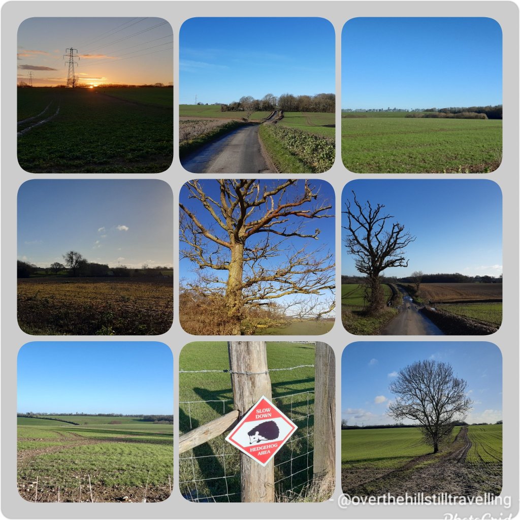
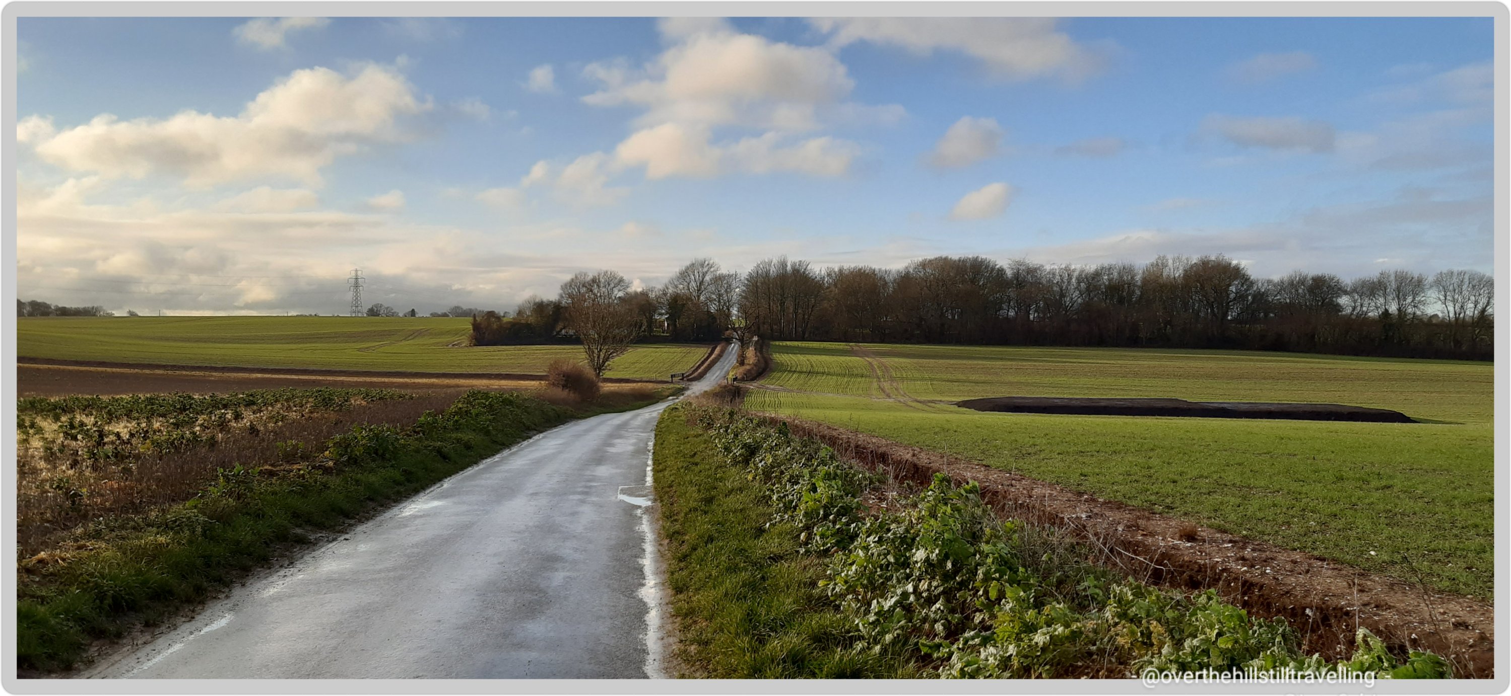
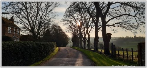
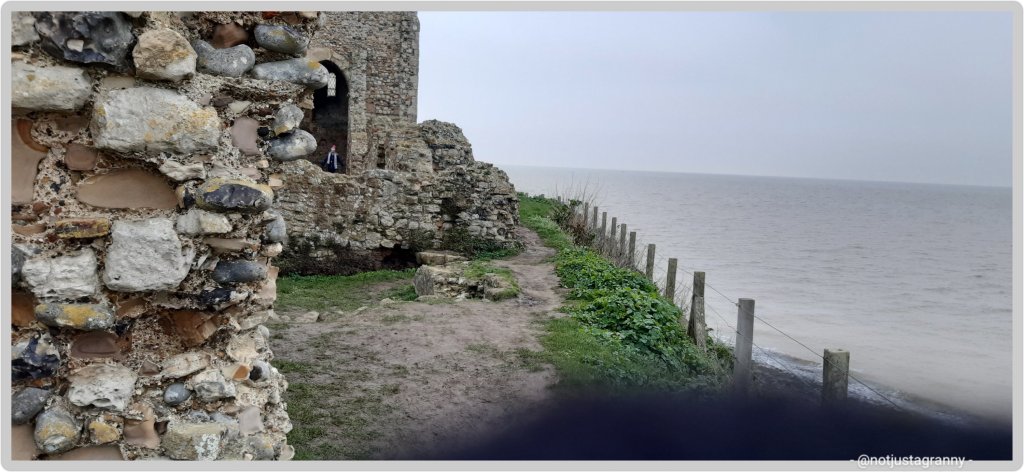
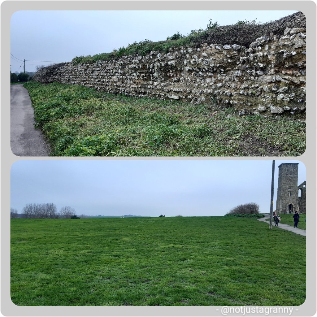
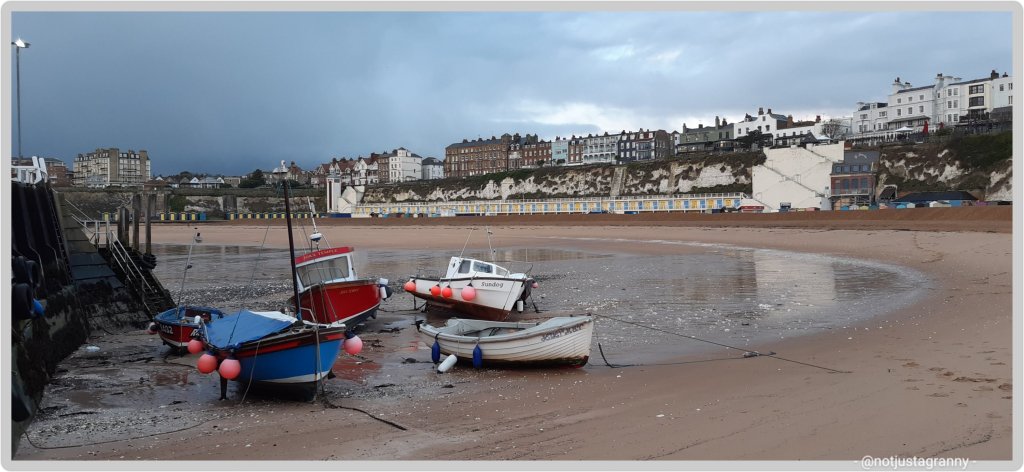
After a brief walk this morning, to stretch my legs and get some fresh air after being indoors yesterday due to icy roads after the snow, I updated my kms to the Conqueror Challenge app and voila, another postcard arrived into my mailbox 😁😁😁🚶🏻‍♀️🚶🏻‍♀️🚶🏻‍♀️ I get really excited when these cards arrive…its fun to see where I’ve been travelling virtually while walking in reality.

So stage two:

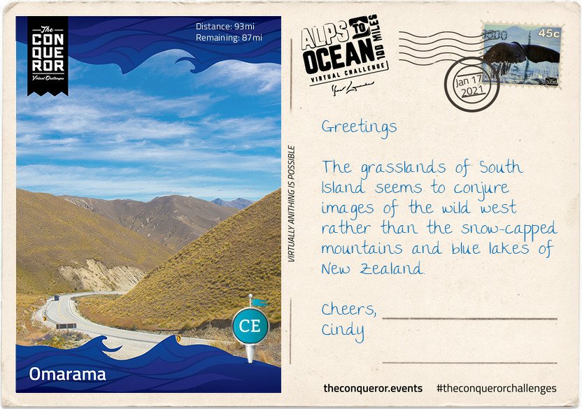
Having left the alps and peaks behind, the town of Omarama marked the halfway point of my journey. Although a small rural town, mainly a service centre for locals and nearby residents, Omarama had a few surprises up its sleeve.

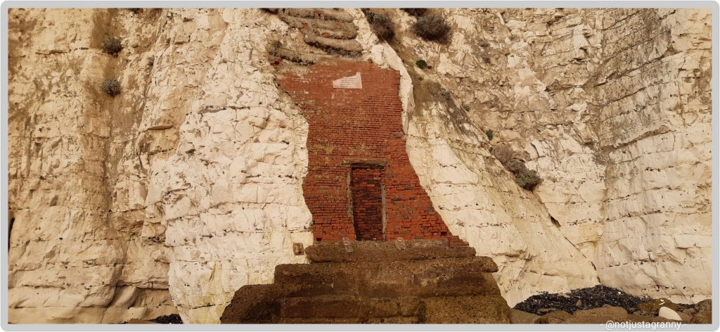
Disney’s 2020 movie release of Mulan was entirely shot in New Zealand with scenes filmed at the Clay Cliffs just outside of Omarama.

In 2009, NZ pilot Terry Delore set a new world record in his 87ft (26.5m) wingspan glider. Taking off from Omarama, Terry travelled 1,491mi (2,400km) up and down NZ for 15 hours reaching speeds of up to 93mph (160kph) before landing back in town. Omarama has strong gliding conditions making it a popular destination for gliding pilots. Omarama hosted the 1995 and 2007 World Gliding Championships of which Kiwis took first place in the 1995 open category and third place in 2007.

For the weary soul like myself, a Hot Tub soak the night before to rejuvenate my muscles and unwind was just what I needed. The Hot Tub was located outside in a private setting within a tussock and rock landscape. The tub was filled with fresh mountain water without any chemicals added. The business reuses the water for irrigation. A submersible firebox allowed me to adjust the water’s temperature. As I settled in, I watched the Milky Way appear and spill across the night sky with its millions of stars.

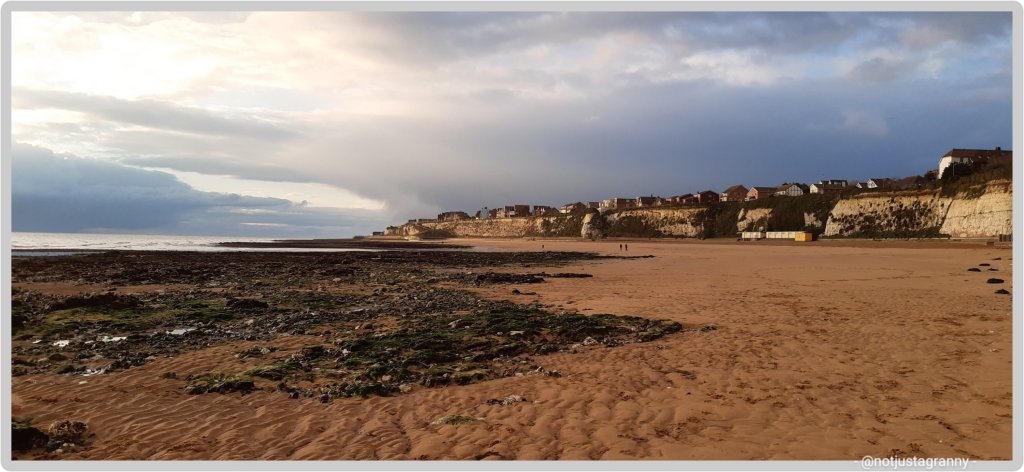
Eastward bound, I left Omarama refreshed and ready to tackle the next half of the journey. The trip was relatively easy and short when compared to previous days. The first half of the trail was off-road running parallel to the State Highway on the right. Crossing at Chain Hills to the left of the highway I began my descent alongside Lake Benmore, the largest artificial lake in NZ.
Lake Benmore was created in the 1960s as part of the Benmore Dam construction. The lake is split into two arms. The largest is fed by three rivers, Tekapo, Pukaki and Twizel plus the Ohau canal with Waitaki River flowing right through the lake, whereas the smaller arm is fed by Ahuriri River.

It is this smaller arm that I travelled along to Pumpkin Point, a grassy beach area, for a break and a splash in the lake, then onto Sailors Cutting where the off-road trail terminates and I join the highway for the rest of today’s trip. Not the most relaxing part of the journey as I braved the high-speed highway with an upward climb to Otematata Saddle. The views of Lake Aviemore and the valley beyond was a lovely compensation until I continued on the busy highway downhill all the way into Otematata.

Hmmm. The more I’m reading about this, the more I’m thinking I should add this route to the itinerary for my pending trip to Australia in a few years time. I’ve included a trip to NZ but only to visit the main attractions as well as a friend and her daughter (if she’s still living there at the time and not somewhere else in the world, as she is wont to do 😃😃). The route is approx 290kms and would take about 12-14 days to complete. 🤔🤔🤔

Where I actually walked this morning
Where I ‘virtually’ walked

If you’d like to join these challenges, here is my link https://www.theconqueror.events/r/CE1474 – I don’t get any money from anyone joining, but you get a discount and I get a discount on any future challenges. However, I’ve already signed up for 15 challenges (8 completed in 2020), so I think I need to put the brakes on for this year 🙃🙃😆

Read Full Post »

Really excited to receive my first postcard from my Alps to Ocean virtual challenge today.

Stage 1
Stage 1

I started the challenge on 30 December 2020 – I so enjoy reading the information that comes with the postcards; learning about places I never knew existed until I started these challenges.

I was 20kms ahead when I arrived at my current assignment on Monday but if course with limited time and 2 days a write off, I’m going to be hard put to keep up to speed 😉🚶🏻‍♀️🚶🏻‍♀️🚶🏻‍♀️ I’m going to try get up to date with the blogging and postcards as well….so here goes.

Alps to Ocean, New Zealand

Imagine crisp alpine air, snow-capped peaks, glaciers, milky lakes and starlit nights. The training ground for Sir Edmund Hillary’s climbing skills in preparation for Everest. The legendary story of Aoraki and his three brothers. These are just some of the highlights of Mount Cook.

At 12,217ft (3,724m) tall Mount Cook is located on the South Island and the tallest mountain in New Zealand. It sits within the Mount Cook National Park which runs 37mi (60km) in a southwest-northeast direction. Home to more than 400 flora and fauna the national park is part of the Te Wāhipounamu South Westland World Heritage Site. The park is also home to 35 species of birds, including the only alpine parrot called Kea.

When I was looking into Mount Cook, I was wondering about the 98ft (30m) height discrepancy between different written sources. Further investigations revealed that in 1991 an avalanche of 350 million cubic feet (10Mm³) of snow and rock followed by twenty years of erosion had shrunk the mountain’s elevation by 98ft (30m).

Of the twelve largest glaciers in New Zealand, eight of them are within the park with Tasman Glacier being the longest at 15mi (24km). The glacier terminates in the Tasman Lake which up until the 1990s never existed. The lake was formed due rapid glacial melting whilst the glacier itself continues to recede annually by as much as 2,697ft (822m). It is anticipated that within a few decades the glacier will be completely gone and the lake fully formed.

The lake’s primary outflow is the alpine braided Tasman River which flows south for 16mi (25km) through the Tasman Valley and into Lake Pukaki. The glacier, lake and river were named after Dutch explorer Abel Tasman, who in 1642 was the first European to sight the northwest coast of NZ’s South Island.

My journey begins at the base of Mount Cook, northwest of the river. Needing to cross the river to connect to Rotten Tommy trail, I took a short helicopter flight. The aerial view of this glacially-fed river and Mount Cook was a sight to behold. From Rotten Tommy, I took a southward bound route alongside the Tasman River. Although part of the route was quite rough and I had to cross several creeks, eventually the track changed to gravel road and made it easier to navigate towards my first overnight stop. Being a clear and sunny day, I had the treat of seeing Mount Cook in the distance rising above the lower snow-capped peaks in the National Park.

Before I go let me tell you about the Ngāi Tahu legend. The story goes that once the “Gods existed in the midst of a great sea of nothingness” and Raki, the Sky Father and Pokoharua-te-po, his wife had four sons, all living in the heavens. Raki left his wife to be with Papatuanuku, the Earth Mother, and together they created the world. Aoraki, the eldest son of Raki, along with his three brothers came from the heavens with a canoe in an attempt to persuade their father to return to their mother. Upon seeing him together with his new wife, the brothers knew Raki would never return. The brothers decided to go home but unfortunately their canoe wouldn’t rise and following strong winds and rising seas, the canoe overturned tipping the brothers into the water. Climbing atop the upturned canoe they waited for help. As time passed with no help coming, they eventually turned to stone. The canoe became the Southern Island and the brothers became the Southern Alps with Aoraki (Mount Cook) being the highest peak.

So far along this challenge I’ve walked from Ramsgate to Faversham over a few days and 3.5 days in Throwley. I wonder where else my journey will take me!!

Read Full Post »

My latest assignment has not taken me too far afield this time and I find myself in the depths of Kent. Not too far from where I’m located are villages familiar to me; Charing for instance….I stayed there on my pilgrimage to Canterbury in September. 🙂 so that’s been a fun discovery. I am of course familiar with Faversham having stayed there in 2017 during my Chaucer’s Canterbury Tales walk from Southwark Cathedral to Canterbury Cathedral, as well as which I finished my latest stretch of the English coast there last Saturday – from Whitstable to Faversham. The Sun Inn; 14th century inn, was the perfect place to stay and I’d love to stay there again sometime.

the sun inn faversham
The Sun Inn, Faversham – 14th century inn with the best room and bath ever

However, the house where I’m working is toooo far from Faversham for me to do any proper exploring, but I have a few country roads I can follow and so far I’ve had 2 good days to get out and about. Of the 5.5 days I’ve been here so far, 1,5 produced rain and 2 produced fog…so I’ve only managed 2 proper walks since arriving on Monday 4th. The sun looks like its burning through the fog so hopefully tomorrow will be a good day for walking.

foggy day in kent
a foggy day in Kent

In the meantime the two walks have unveiled some gems as far as churches are concerned and some amazing houses…..some of which date back to the 15th century. In fact the house I’m working in was built in 1435!!! It’s pretty awesome with some fabulous beams and a huge fireplace. The floors are really wonky and sink in the middle and without heating, its VERY cold!!! I’ll let the photos do the talking

country walking
the long and winding road…..
first world war throwley airfield
Throwley Airfield 1917-1919
the old school house
The Old School 1873-1935
houses at Throwley Forstal

Although I haven’t been able to get out that much, I have walked far and wide, clocking up 16.3 kms over 2 days. Its something of a challenge to find different routes when you’re limited to long stretches of road and a 2 hour break. If I had longer, I’d walk to Faversham for sure. It’s only 5 miles away but would take 1hour 35 minutes to walk there and no time to return before my 2 hours is up!!

I have though seen 2 beautiful sunsets and enjoyed the lengthening shadows of the graveyard. Hopefully tomorrow will bring fine weather so I can get out again…

p.s. there may be a problem with the photo galleries…..if there is I will fix them later…..they look fine via my computer, but on my phone there seems to be an issue….sorry for that.

Read Full Post »

Following on from my recent walk from Margate to Whitstable via Reculver, researching the Roman fort uncovered the information that Reculver too had been mentioned in the 1086 Domesday Book. 😃😃👏👏 Roculf: Archbishop of Canterbury. Church, mill, 5 salthouses, fishery.

To say I was delighted would be an understatement. Updating my Project 101 page brought the tally to the grand total of 150!! Hoorah. https://notjustagranny.co.uk/project-101/project-101-domesday-book-towns-villages/

By no means a huge number, and considering that 13,418 (settlements) : cities, towns, villages and hamlets are mentioned….150 is not that many, but it’s way more than most have visited.

It’s still astounding to discover that many English people who have grown up in the country, have no idea of its existence.

1086 is only one of the most significant dates in English history following on from the 1066 Battle of Hastings, and yet…..

My original intention was to visit 101, but it seems that my travels and my job will take me to many more than I anticipated.

I’ve wanted to walk to Reculver from Broadstairs ever since we first visited the place some years ago, but never seemed to find the time, it also did not seem doable. But now with my crazy decision to walk the entire English coast over the next 5 years, it became doable ….😁😁 and in comparison to the distances I’ve since covered on my various walks, it was easy peasy

When I set off from Margate last week I could see the ruins of the church farrrrr away in the mists of time and remember thinking ” oh gosh, it’s so far, will I be able to do it ?” But it was easier than expected, and voila

St. Mary’s Church, Reculver

St Mary’s Church, Reculver, was founded in the 7th century as either a minster or a monastery on the site of a Roman fort at Reculver, which was then at the north-eastern extremity of Kent in south-eastern England. In 669, the site of the fort was given for this purpose by King Ecgberht of Kent to a priest named Bassa, beginning a connection with Kentish kings that led to King Eadberht II of Kent being buried there in the 760s, and the church becoming very wealthy by the beginning of the 9th century. Ref wikipedia

Will this too be eaten by the ever encroaching sea
A Roman fort, now long gone
The remains of the Roman wall, and where the fort once stood

It’s a fascinating place and I’m certainly going to follow up on more of the history and I feel another visit is warranted. I noticed on my way to Reculver that there is a walk along the River Wantsum; which once cut off the Isle of Thanet from the mainland.

The River Wantsum

I 🔮 another walk in the future 😉😄😄 except it will not be in winter!! And I’m not walking across any mudflats….more of that later 🤪🤪

Can you see my folly?

More about Project 101 https://notjustagranny.co.uk/project-101/

Read Full Post »

I’ve started reading the book my daughter gave me for Christmas; ‘Walking Home – Clare Balding.’

In the very early pages Clare talks about how she was taught to ‘walk mindfully’; to feel her feet hitting the ground, to hear the birds or background sounds, to feel the wind on her face. So today on my daily perambulation, instead of rehashing the same self-talk that goes over and over around my head (mostly coz its unresolved), today I practised mindful walking….

I felt how my feet scrunched on the beach, I observed how my poles felt as they supported me over the rocks or sank in the sand, I really listened to the seagulls, felt how the wind ruffled my hair and sneaked down my collar (I forgot my scarf at the b&b🤨🤨), and in particular I listened to the songs of the sea…it changed my whole mindset. I felt uplifted,  invigorated and tingled from the cold icy air, and barely noticed that I was soaked from the softly falling rain. What a difference.

My issues are still unresolved, but I can breathe…and I got in 10.26 kms by the time of the real downpour, which spoilt my plan to sit on the bench in Broadstairs to eat my croissants… instead I ran for the bus (the driver kindly waited for me 😃😃) and took the quick way back.

It was dark when I left the b&b, the streets were quite deserted and I only saw 4 people enroute. I got to the harbour just before 7am.

Town centre at 06:55
Still and quiet at 7am

It had started raining but I barely noticed it until looking at the lights shining on the rain.

Oh…its raining 😄

By then I was quite wet, so I sat under the shelter at the Royal Victoria Pavilion and watched the sky lighten…

A blue sky
My view from under the pavilion

Debating a return to the b&b to dry out, instead, as soon as the rain eased off, I meandered down to the waters edge and collected some more sea glass – found some lovely pieces.

Sea glass and pottery pieces

Then turning my head north for Broadstairs watching the sunrise while I listened to the seagulls and the incoming tide I walked…..as I walked the colours of the sky changed and depending on which way I was facing, was either that early morning cold blue or the golden colours of the sun cracking through the clouds…

Passing through Broadstairs I phoned ahead to order my almond croissants from The Old Bakehouse and stopped to photograph the boats in the little harbour – I never tire of seeing them

Pretty wee boats in the harbour

A few dog walkers and early morning strollers passed me by and suddenly, or so it seemed, I reached my turning point at Stone Bay.

A good place as any to turn around

How far I’ve come….

Looking back across Stone Bay

One last photo of Viking Bay

Viking Bay, Broadstairs

Having phoned ahead earlier, The Old Bakehouse kept 2 almond croissants aside for me 😊😊🥐🥐. As I left, the rain I’d seen crossing the channel reached our shores and the heavens opened…🌧🌧🌧

There comes the rain…

I drank my coffee, then made my way quickly up the High Street towards the bus stop. Suddenly down the road…the bus approached. I ran – fast!! The driver (bless his heart) waited for me. 😃😃

Then it was back to the b&b for tea.

Brilliant walk: 10.26kms. And thus ends my holiday/Christmas/New Year break. Back to work tomorrow and limited time to walk for the next 2 weeks. 🤔🤔🤔 I’m hoping the area I’ll be working in has some interesting walks. Meanwhile, I’ve reached 20% of the Alps to Ocean NZ virtual challenge and got my 3rd postcard of the route.

I’ve started uploading the Mt. Fuji postcards and information and will post those asap and then I’ll get the Alps to Ocean postcards uploaded and share those too. The organisers have done an outstanding job of creating the postcards and the relevant information. It’s totally impressive

Read Full Post »

« Newer Posts

Self Propelled

Self propelled adventures through life; blogging on cycling, touring, micro-adventures, general shenanigans, and environmental news

johnelsewhere

Thoughtful wanderer in search of virtual meaning

Things Helen Loves

UK and European Travel inspiration & life outdoors

Short Walks Long Paths

Wandering trails around the coast of Wales

Port Side Travel By Jill

My travels, photos, tips/tricks and anything else I think of!

Wonderwall

My 360: wonderwalls,theatre, travel, Sheffield, books...

Robyn's Ramblings

My Thoughts. Expressed.

Graham's Long Walk

Graham King's long walks around Britain

The Lawsons on the Loose

Philip & Heather are making memories through their travels.