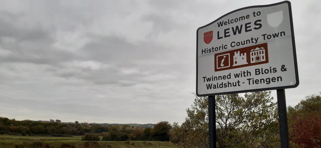
There’s so much to see and do in Lewes that I’m quite kept on my feet.
Today I set out on my 2nd attempt to find the river pathway and although I wasn’t successful, I believe I’m getting closer 🤣🤣🤣 Saw this on my walkabout
Egrets Way….
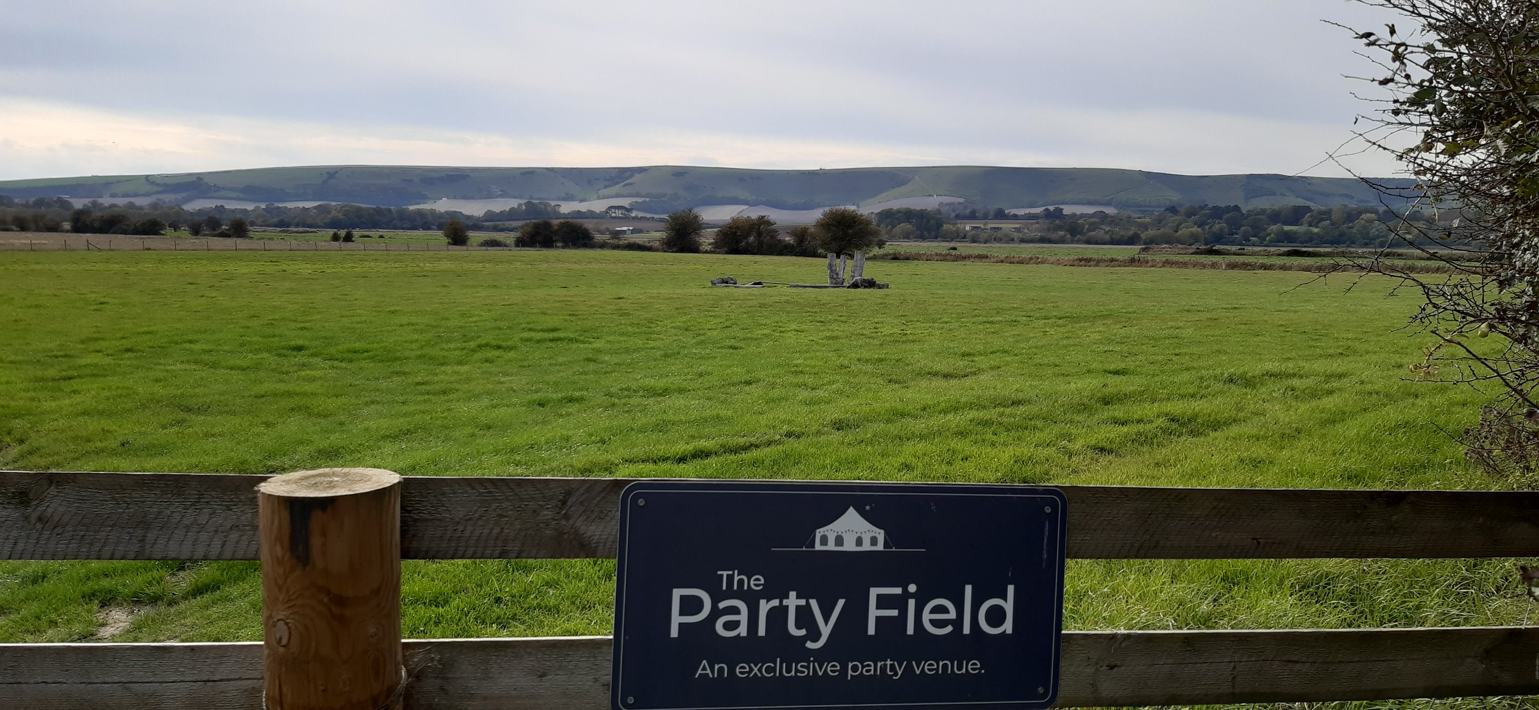
I initially followed the instructions from a local but I’m afraid it led me to a great big green field and a gate and although I can see from mapmywalk that I was close to the river, it wasn’t quite where I should have been.
However, I did go off at a tangent on the way back and discovered more of Lewes.
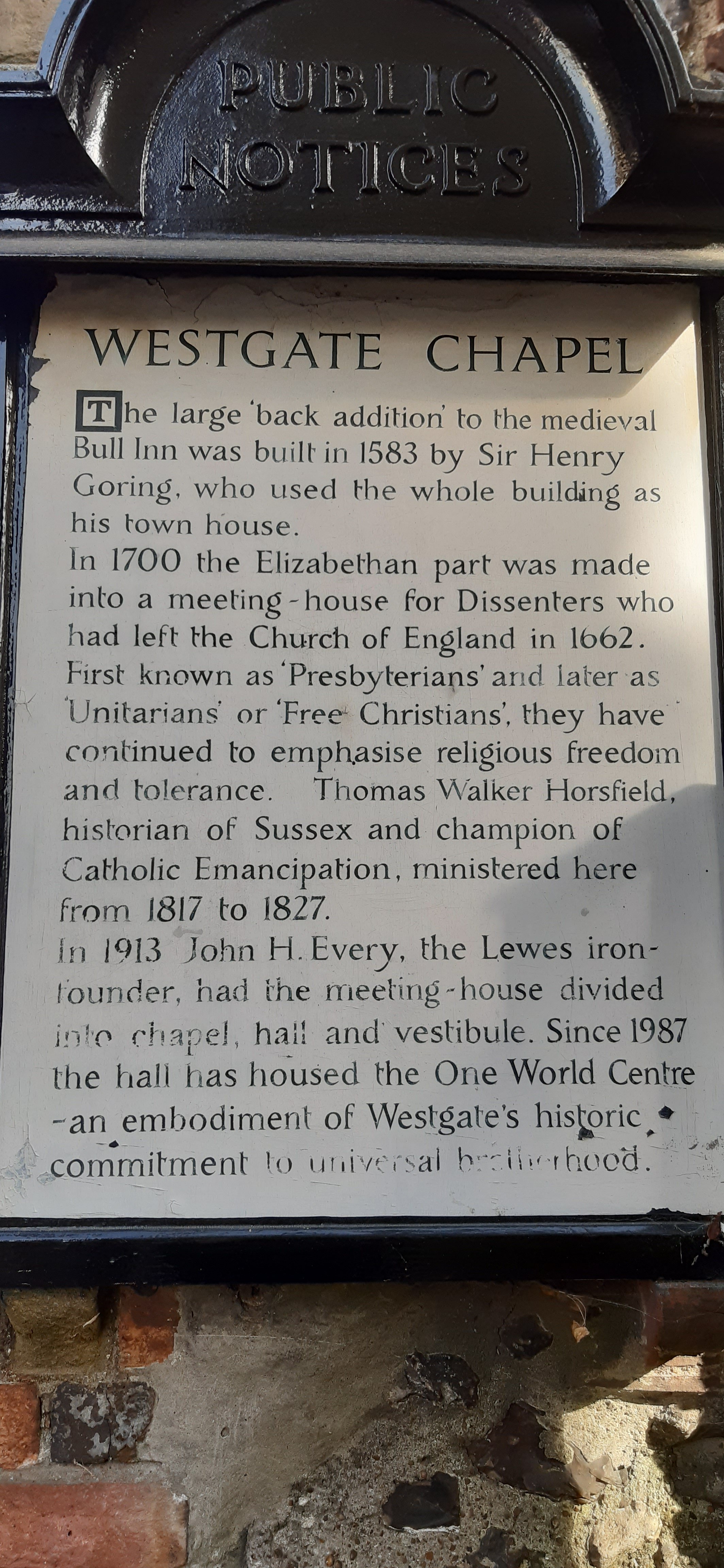
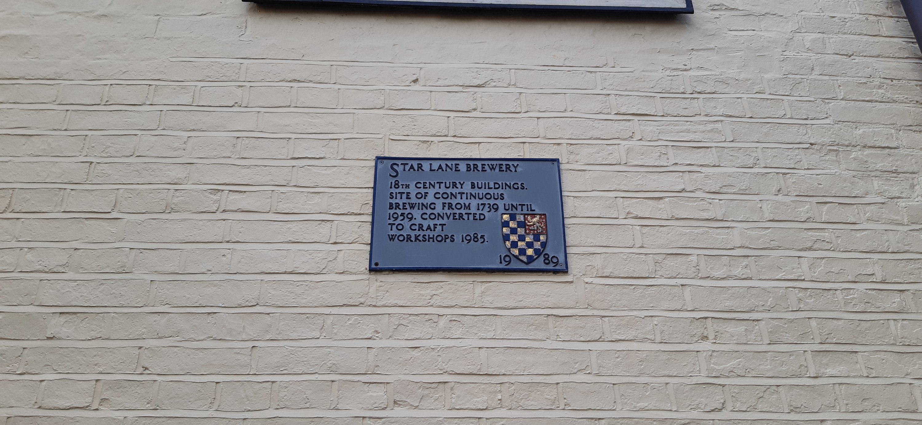
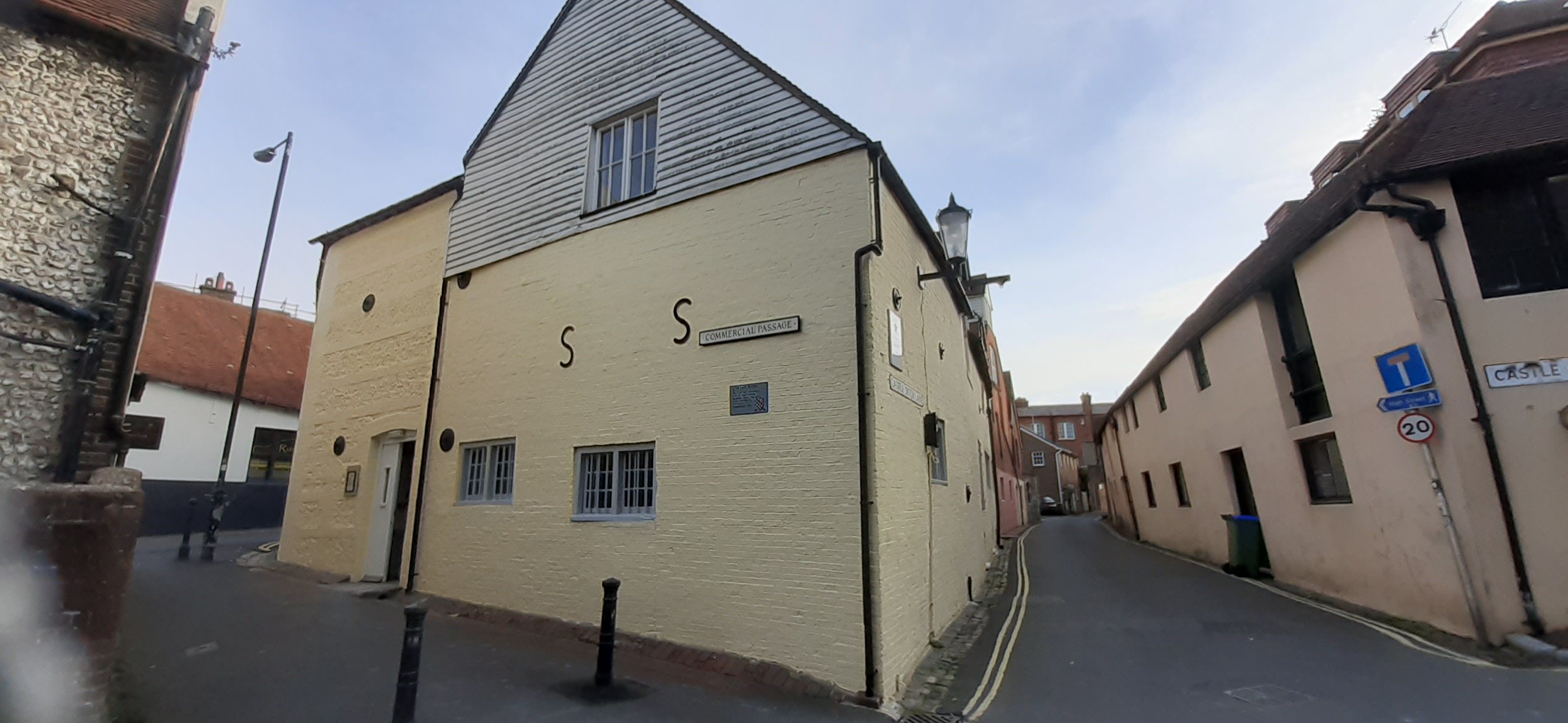
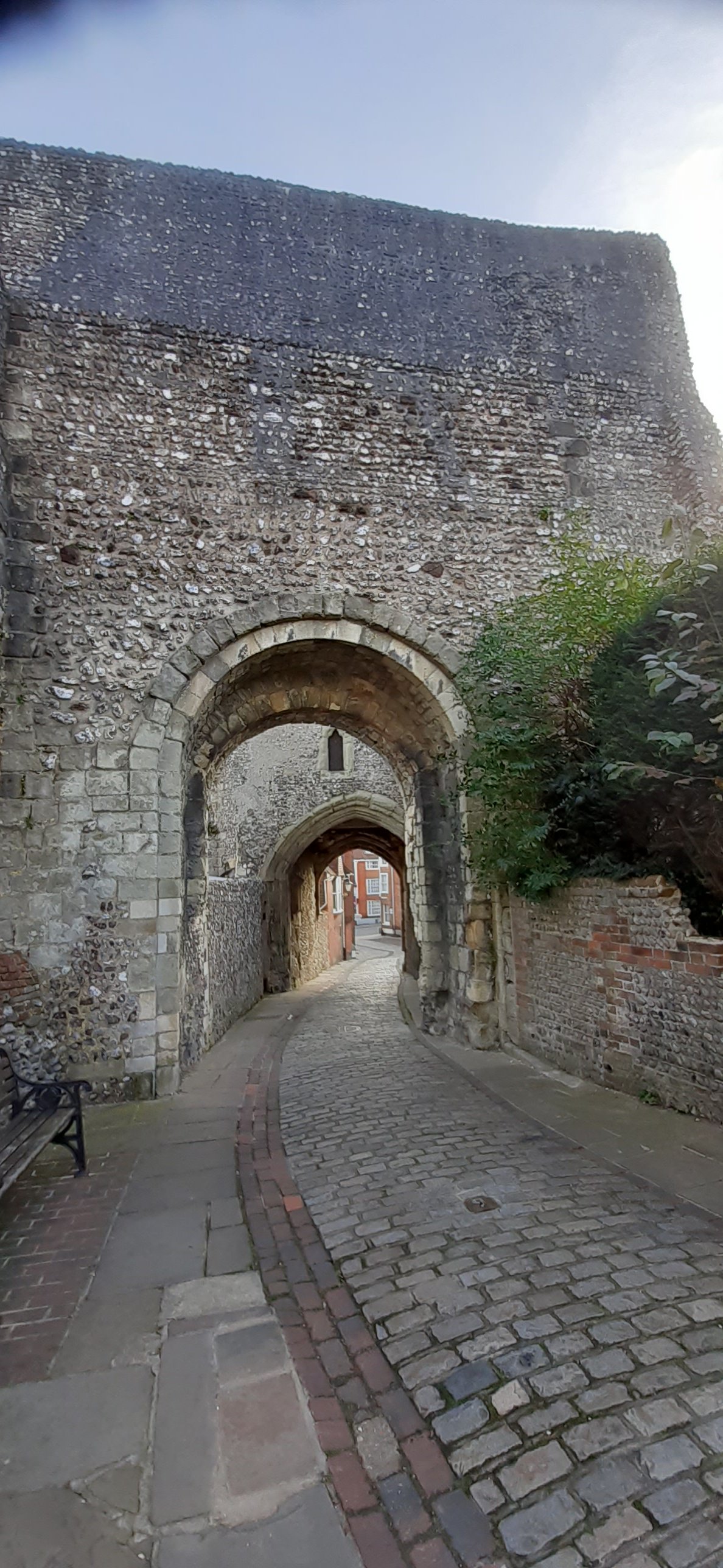
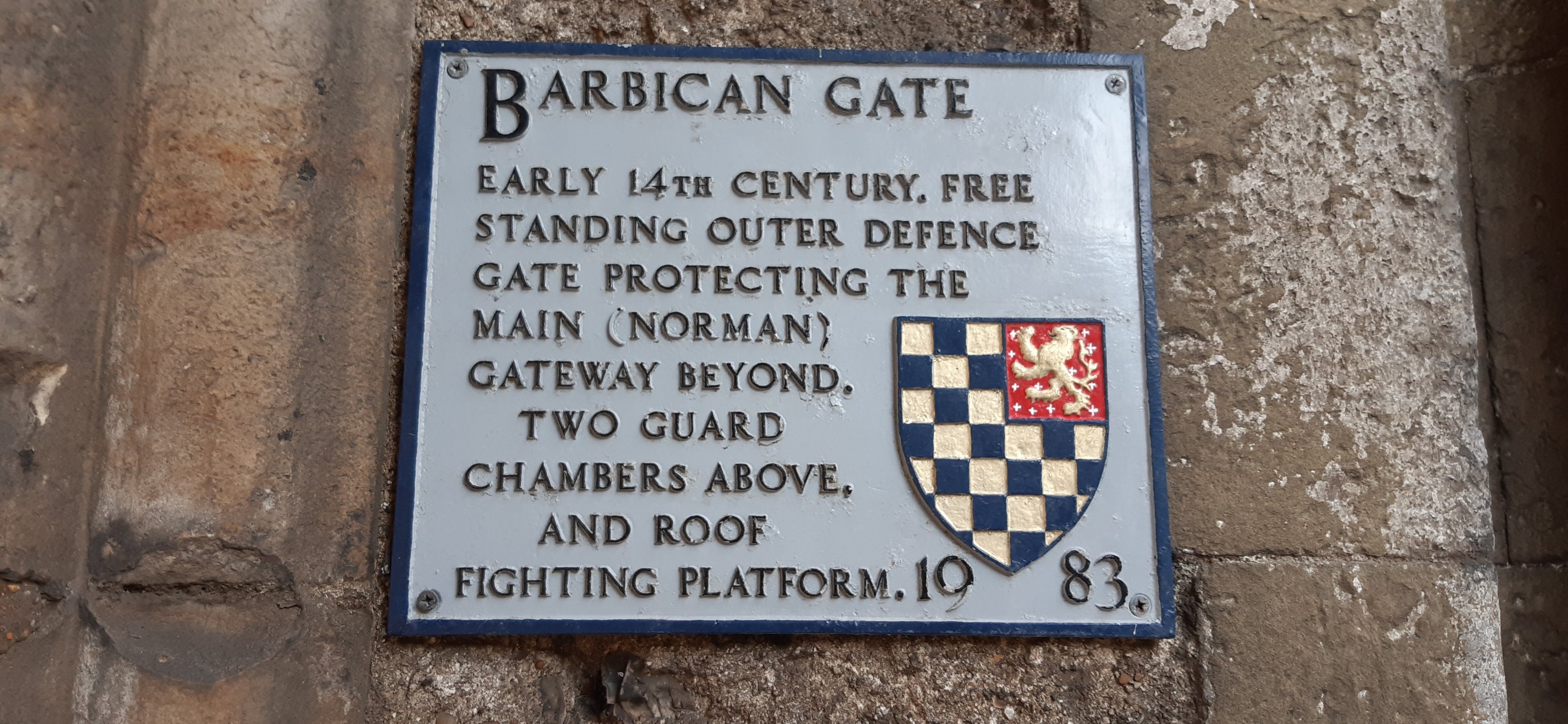
I walked along streets and lanes as yet untrodden by myself, and passed a couple of old favourites
And an old water pump
9.64 kms all told and slowly I’m reducing my 2020 Conqueror challenge deficit. 731.8kms to go by 31.12.2020 🤪🤪🤪
Hoorah!! I did it! I finished walking the Inca Trail; virtually 😃🚶🏻♀️🚶🏻♀️
Hoorah!
My walk today; 10.38kms took me over the finish line by .08km and challenge #4 is complete. As always the postcard that popped into my mailbox is gorgeous and really makes me want to walk the trail for real. But its quite a long way away, so I shall settle for having walked it virtually.
Machu Picchu
Voted as one of the New 7 Wonders of the World and listed on the UNESCO World Heritage Site in 1983, Machu Picchu is a 15th century Inca citadel steeped in mystery and myth. Thought to have been built on the request of the incumbent Emperor Pachacuti as a royal estate, Machu Picchu is an engineering marvel. Built without mortar, the stones are cut so precisely, they fit perfectly together. Sitting atop two fault lines, during earthquakes the stones knock against each other and then fall back into place.
The rise and fall of the Inca Empire lasted a mere 130 years. Following the Spanish invasion of the Inca Empire in early 16th century, Machu Picchu was abandoned with the Spanish unlikely to have ever seen it. Left to the elements the citadel was grown over by vegetation and forgotten over the centuries until 1911 when Hiram Bingham III of Yale University, visited the site as part of an expedition in search of another city. Returning the following year, Bingham spent 4 months with local labour to clear the vegetation and the next 3 years excavating and studying discovered artifacts.
From here the final descent into Aguas Calientes is on a hair-raising 9km zig-zag mountain road called Hiram Bingham Hwy. Barely wide enough to fit two cars and lacking guardrails, it is an unsealed road and a rough ride that is not for the faint of heart nor for those who are prone to vertigo.
Once you arrive in Aguas Calientes, book yourself into a thermal bath to rest and recover your weary body. Take a walk through the local craft market before settling in for dinner. Try the Peruvian national drink, the Pisco Sour, whilst indulging in the spicy and bold flavours of Peruvian cuisine.
Fantastic!! 👏👏👏🚶🏻♀️🚶🏻♀️
My ‘real’ walk was a little more mundane, but no less satisfying. I had a plan, hmmm??🤪🤪 to follow the river from Lewes to Newhaven. It looks easy enough on Google maps and I spent a few hours last night researching possible routes. But none of them were really clear so today I decided to scout the route as far as possible, and see how far I could get.
Not very far as it turned out 😂😂
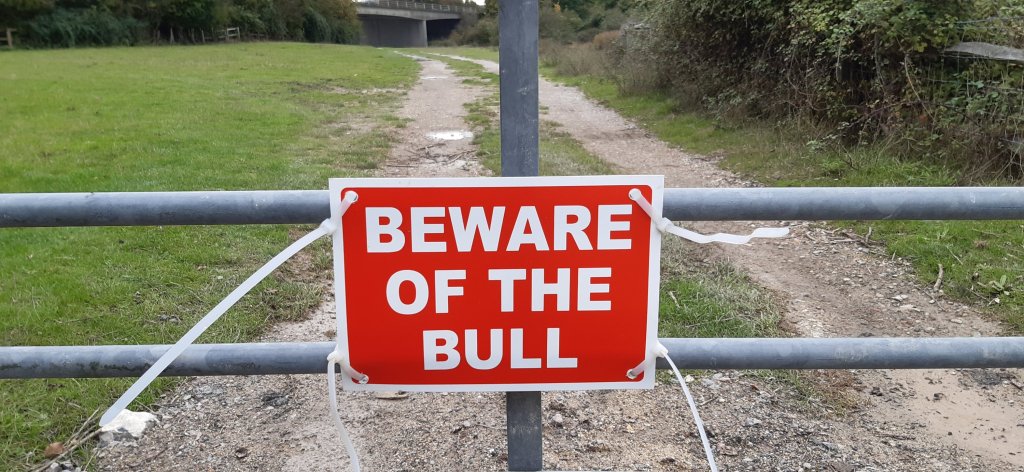
At 2.74kms I faced a wee challenge, a very locked gate and the possibility of unwanted company.
I debated climbing over the gate, but after consideration thought it would be rude and didn’t fancy getting halfway across the field only to find said 🐂 behind me!!
So instead, I retraced my steps and returned to town.
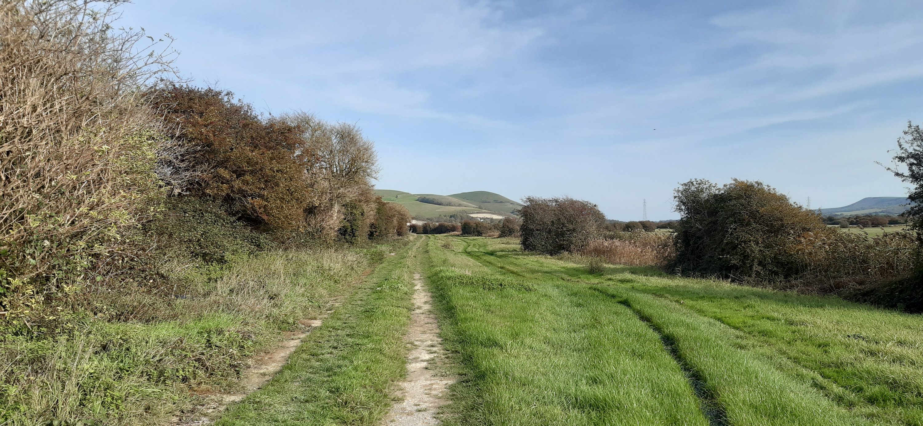
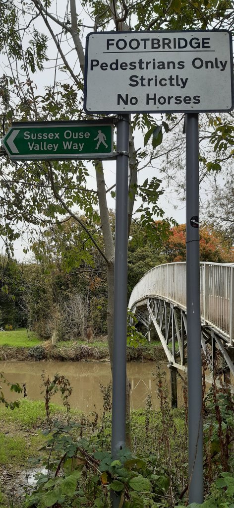
I then decided to follow the river upstream, since downstream wasn’t quite working out. Much better route.
Very pretty, lots of green and a fab path. I crossed over the river via a pedestrian bridge and found myself on the Sussex Ouse Valley Way, and a very walkable path.
The views of the river and valley are just perfect and its well away from any traffic, except for the occasional cyclist.
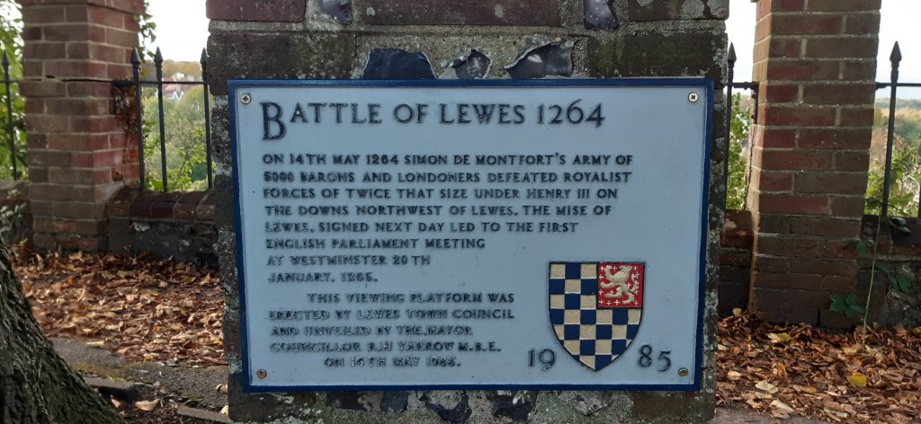
I walked for quite a distance – I could see the Offam church spire peeping up between the trees, the same forests where the Battle of Lewes was fought in 1264
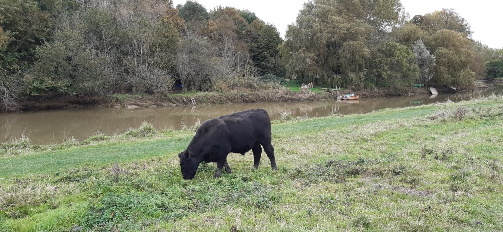
and here I encountered a whole herd of cattle. I walked on some way but in the distance I could see a cow bellowing loudly and having a hissy fit, so before she got the whole bunch worked up, I retreated…as Henry III should really have considered…
This fellow wasn’t one bit interested
Once back over the river, I did a bit of a dogleg and discovered a disused railway line….heading enticingly off into the distance. Not very far according to a local lady, just 1km. So I shall head back that way next week and walk it.
Then with just 3kms to go I headed back to work and after going around the block twice LOL I finally reached 10.38kms and my break was over. But I reached my goal and completed the Inca Trail.
I do so love walking and could really just keep going….
Scenes from the walk Looks a bit like a bow and arrow…
I received my latest Inca Trail postcard last night.
Walking the Inca Trail – virtually 😃
This is one of the features of virtually walking @the_conqueror_challenges
I love the history and the stories that accompany the postcards.
‘Surfacing from the cloud forest of the Runkuraqay Pass, the trail commences its descent towards the ruins of Sayacmarca with sweeping views of the Pumahuanca Mountain.
Continue on to Phuyupatamarca, one of the most intact Inca ruins, and stop to enjoy the snow-capped view of Mt Salcantay. At 6,200m, Mt Salcantay is the tallest mountain in the region. It’s Quecha name translates as wild, uncivilized, savage and as such is often referred to as Savage Mountain. The summit of Mt Salcantay was first conquered in 1952 by a French-American expedition. No easy feat since the “climb involves 1,800m of vertical gain, on glacier, snow, ice, and some rock.”
Trek onwards to Intipata and Winay Wayna, both known for their agricultural terraces and their convex shape of the terrain, to finally reach the Sun Gate for a breathtaking aerial view of Machu Picchu. Once a fortress, the Sun Gate was the main entrance to Machu Picchu and most likely guarded by imperial guards. Given the strict controls over entries, it is believed that only royalty and select guests were permitted to visit.
The first postcard arrived 5 days ago, shortly after I started the challenge; its beautiful and the history is fascinating.
The Inca Trail
The Inca Trail is part of a much larger road network. At the height of its power, the Inca Empire stretched 4,023km from modern day Ecuador to Argentina. The Inca road system was one of the most advanced transportation structures of its time, linking together 40,000km of roadway. The road system provided for quick and reliable logistical support, civilian and military communication, personnel movement on official duty and control over the Empire by dispatching troops when necessary. Following the Spanish conquest in the 1500s much of the network was abandoned and destroyed. In order to preserve the history and restore parts of the network the Inca Road System, officially known as Andean Road System, entered the UNESCO register in 2014.
Much of the Inca Trail is the original construction. Imagine that with every step you take someone laid the roadway beneath your feet some 500 years ago.
The ascent to Dead Woman’s Pass is both dreaded and revered. It is the most rigorous climb reaching heights of 4,215m in a such a high altitude environment where the oxygen level is low making breathing shallower and the effort needed to move forwards greater. In the same breath overcoming the difficulty and strenuousness of the climb is also the most rewarding moment.
Following a steep descent into the valley of the pass comes a second ascent to Runkuraqay Pass. On the way are the ruins of a tampu, which was an administrative and military structure used for supplies, lodgings and depositories of quipu-based accounting records.
Quipu was a record keeping system of different knots tied in ropes attached to a longer cord. It was used in lieu of writing since the Incas did not have an alphabet based writing system.
The tampu was served by conscripted individuals from nearby communities, as part of the mit’a labor system. Mit’a was mandatory public service used as the labor force to build roads, bridges, terraces and fortifications.
Isn’t that fantastic. So much thought has gone into creating these postcards and the information provided is something I would not have known unless I actually did some research.
Getting the postcards is a massive encouragement to increase my kms ASAP 🤣🤣🤣🤣
If you’d like to join me on these virtual challenges, you can sign up here via my link. You don’t have to join a team, I didn’t, but there are loads of teams if you fancied walking with other folks.
This is not an affiliate link and I don’t make any money from people signing up, but you get a 10% discount on any walks you sign up for and I think I get a 10% discount as well….which is a moot point really since I’ve already signed up for all the walks I want to do 😃😃😃 for now anyway. Of course they may well introduce other walks, in which case, I guess I’ll sign up for them. I am just a tad addicted.
Well, you’ll be pleased to know I made it. Day 1 done & dusted. In lots of pain and my feet are very unhappy…not sure how they’re going to feel about doing this all over again tomorrow.😱😱🥺🥺🥺
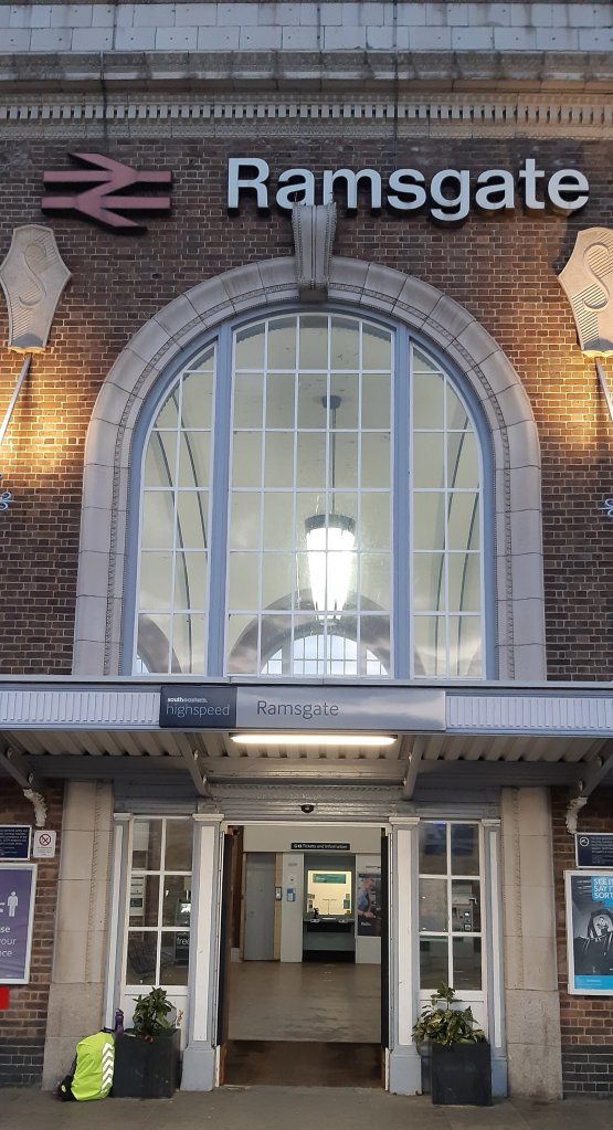
So I left home at 6am on the dot and got to Ramsgate station with 15 minutes to spare. I reached Oxted at 09:25 and set about finding breakfast. I nearly slipped up and went to Wetherspoons, but left as soon as I realised my error 😣😣😣 After a coffee and toasted sandwich from Coughlan’s bakery I switched mapmywalk on and set off for St Peter’s church where I got my first Pilgrim’s stamp, then it was a hard slog along a horrible road till I intercepted the Pilgrim’s Way.
First destination was Chevening Park where I had to climb a bloody awful hill and then go back down again. From thereon the terrain was fairly flat. I finally reached Dunton Green where I stopped for supper at The Rose and Crown and had a delicious meal of fish and chips.
At just on 5pm I set off again for Otford, a Domesday Book Village, where I crossed the River Darent. What a delightful place. Picturesque with the remains of a palace where Henry VIII and Katherine if Aragon once stayed. The church and palace have links to Thomas Beckett.
Then I had to force myself to walk the final 4 kms to Kemsing & the Airbnb. I’m aching from head to toe. But I did it 😃😃😃
Walked 26km, 10 hours including stops and saw so many amazing things. Lucky me.
My journey started today at precisely 13:33 when I left the house in Oxted with Pepe (my backpack) settled firmly on my shoulders. I made my way to the station and boarded a 7000 horse-powered beast heading for London.
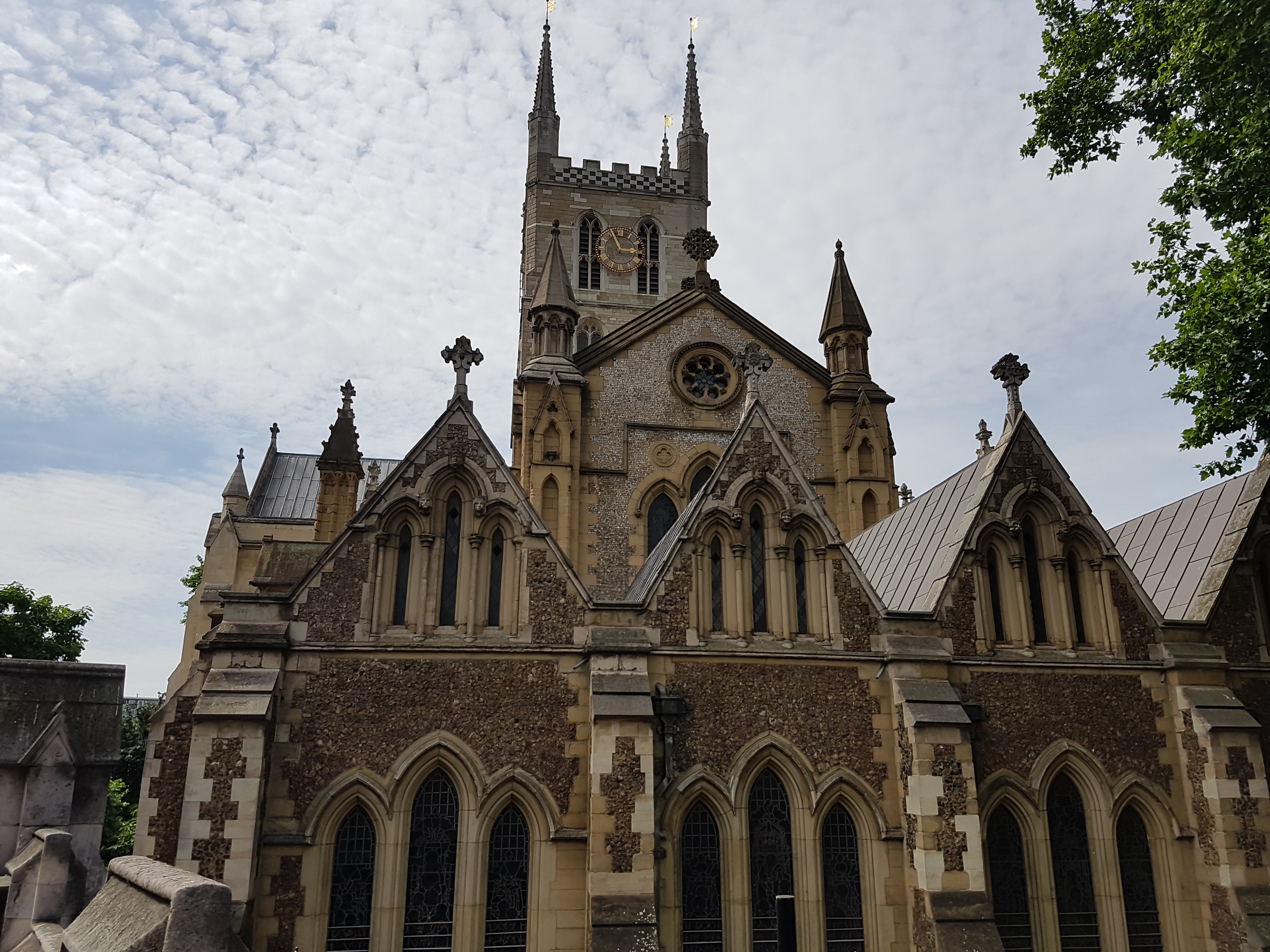
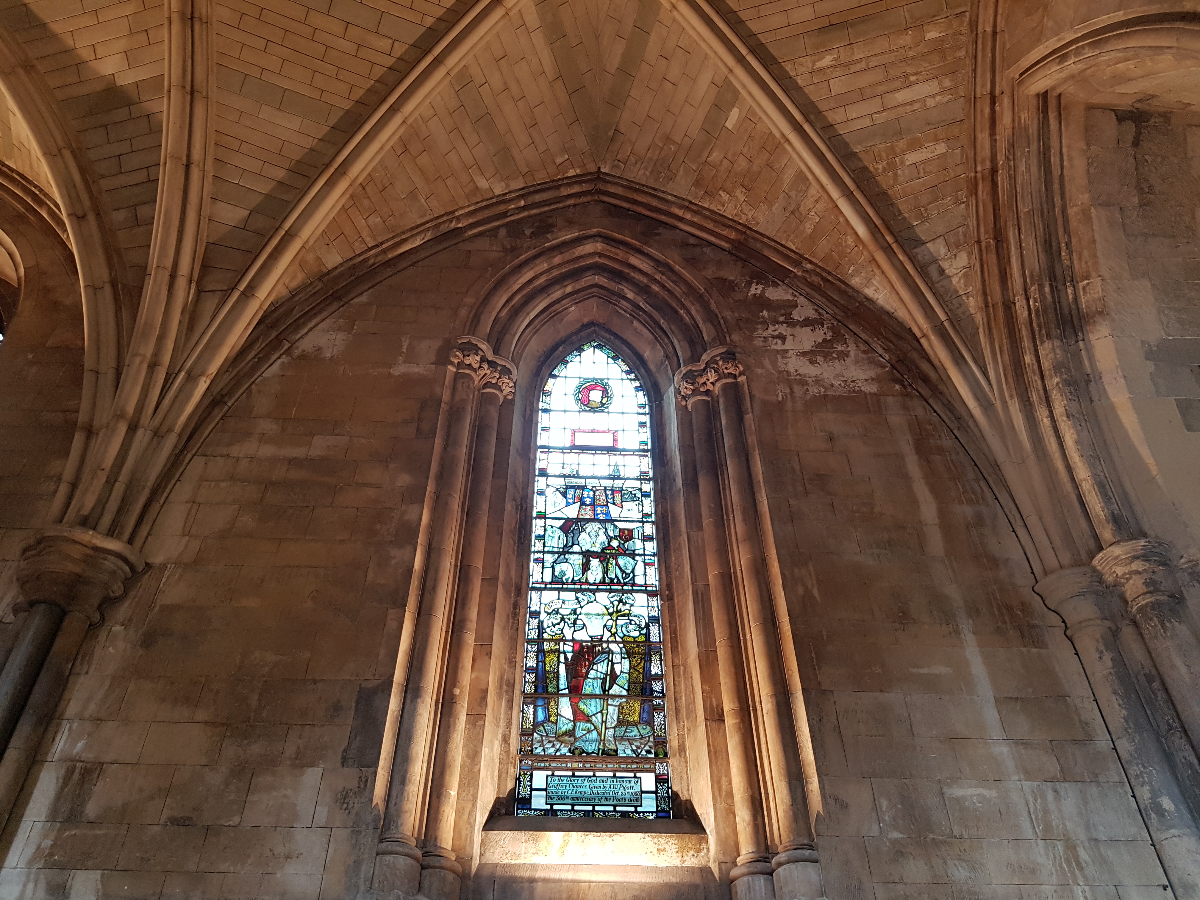
Arriving at London Bridge within 33 minutes I set off on shanks pony to visit Southwark Cathedral where I would collect my Pilgrim’s Passport
and view the Chaucer window.
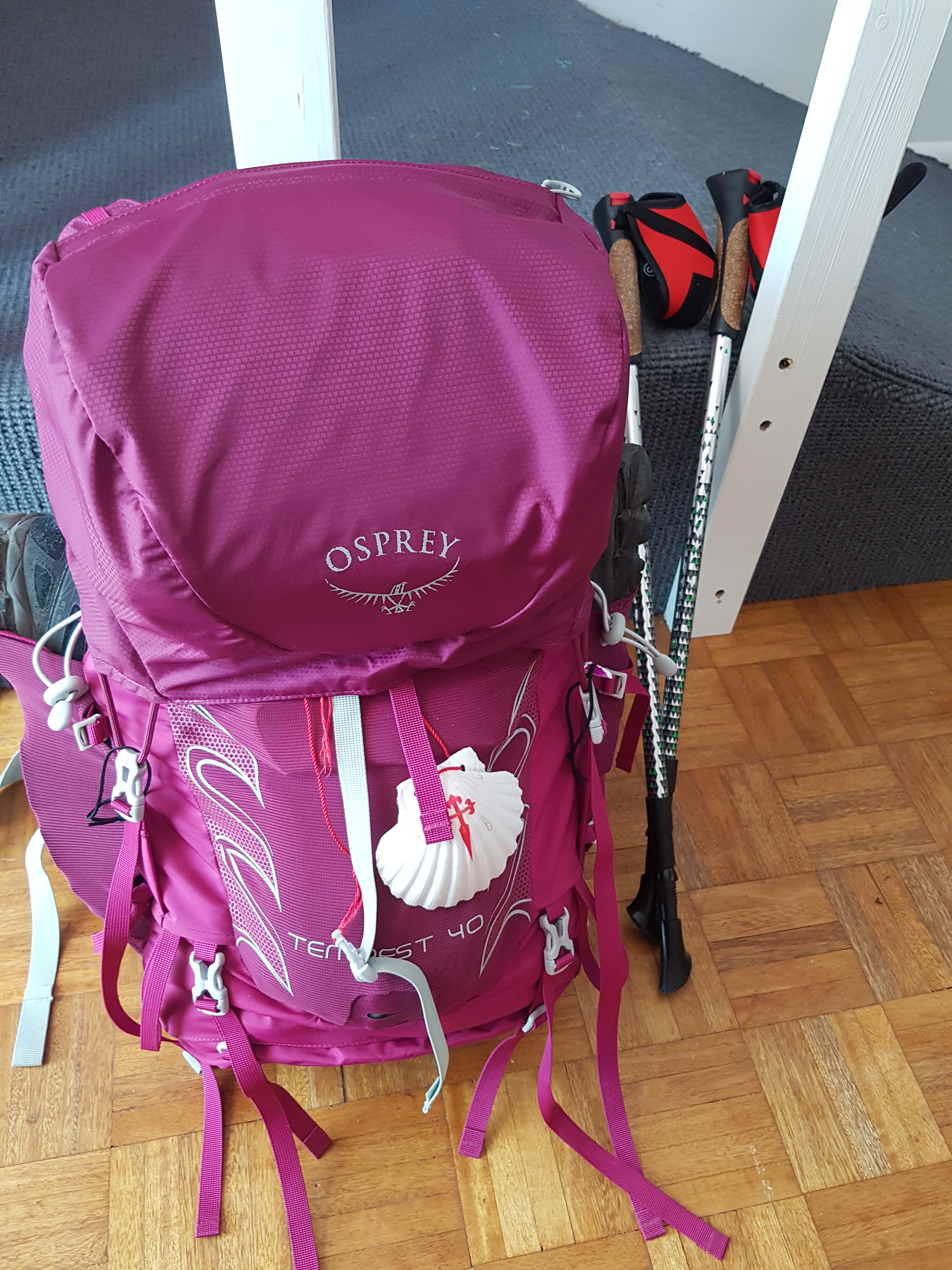
I obtained my 1st pilgrim’s stamp 😀 and bought a small booklet featuring Chaucer’s story; The Wife of Bath 😉 who was one of the pilgrims featured in The Canterbury Tales. While I was walking around inside the cathedral a young lady wished me Buen Camino which made me cry. I was already feeling so emotional and overwhelmed at the journey ahead, so her greeting just tipped the balance. She had seen the scallop shell secured to Pepe. 😊😊 I was delighted.
On the way I walked through Borough Market
and passed The Sentinel
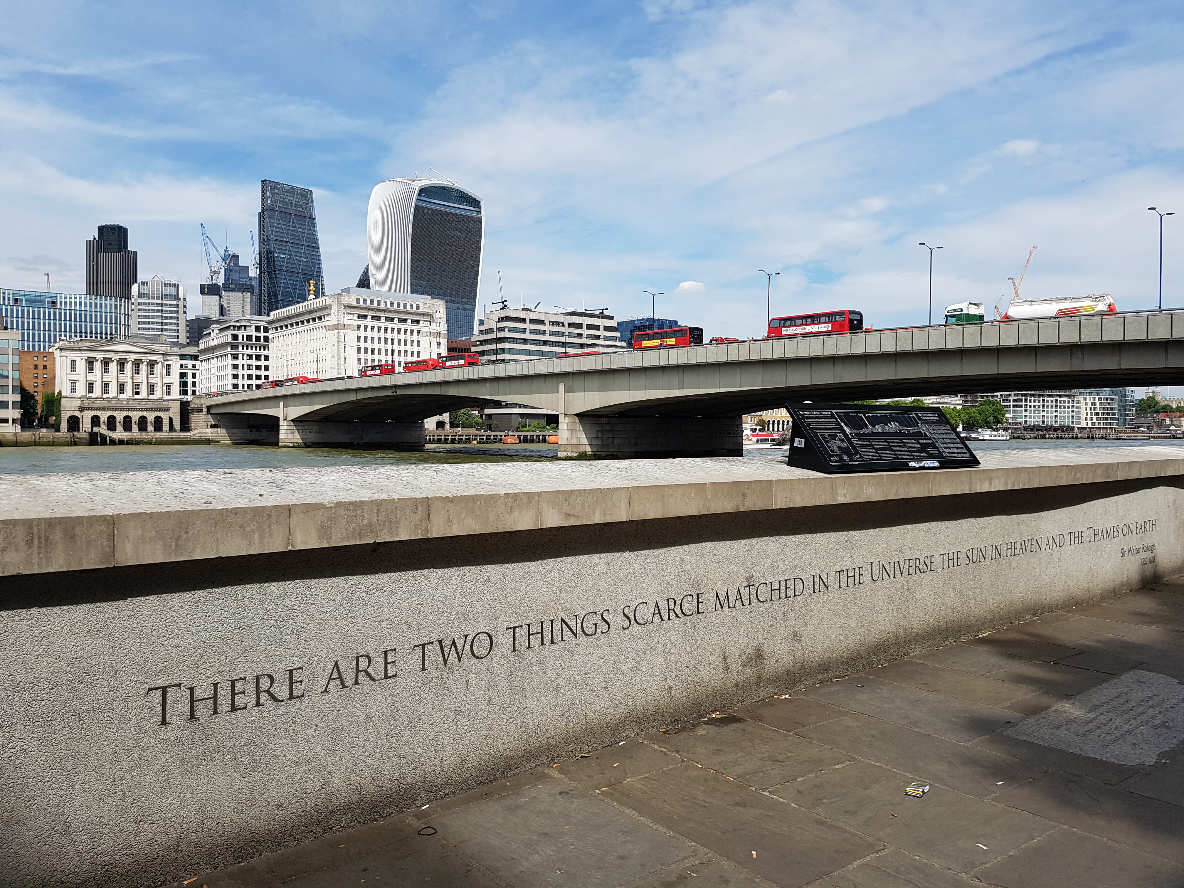
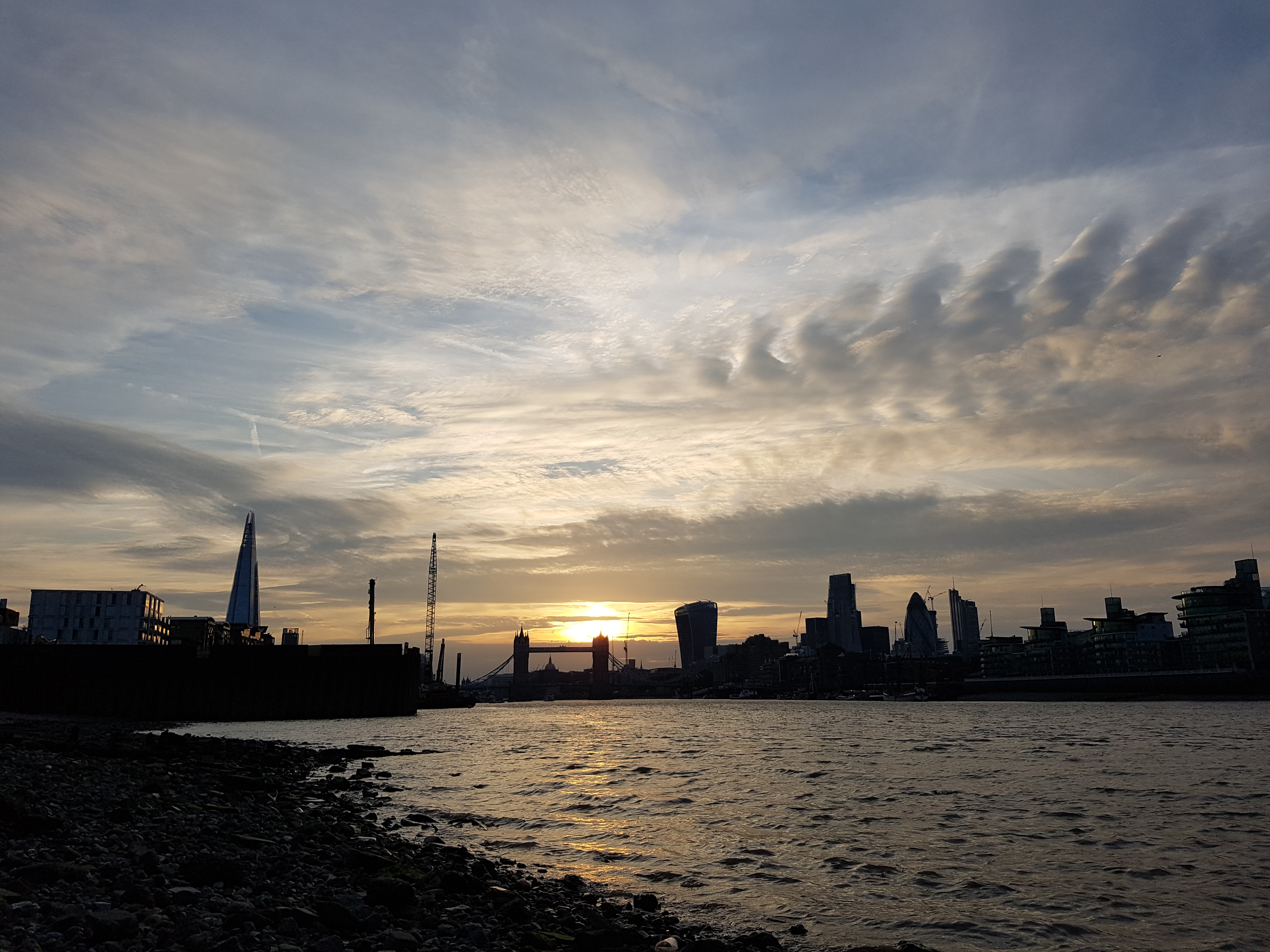
before stopping to look at London Bridge and the Thames; “There are two things scarce matched in the Universe The Sun in Heaven and The Thames on Earth“.
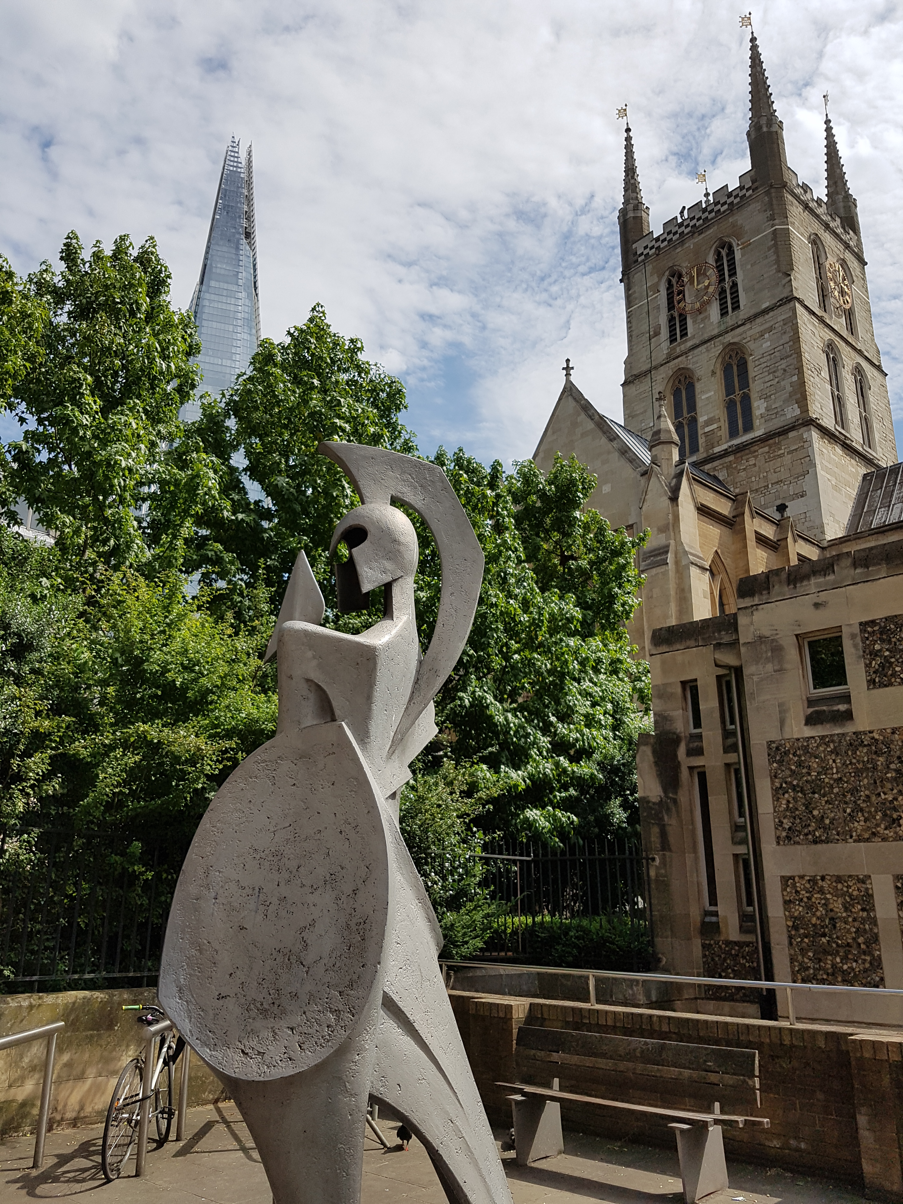
Then once again using shanks pony I walked along the banks of the River Thames to my weekend lodging stopping briefly to see a favourite sculpture; The Navigators – seemed apt since I’ll be navigating my route to Canterbury.
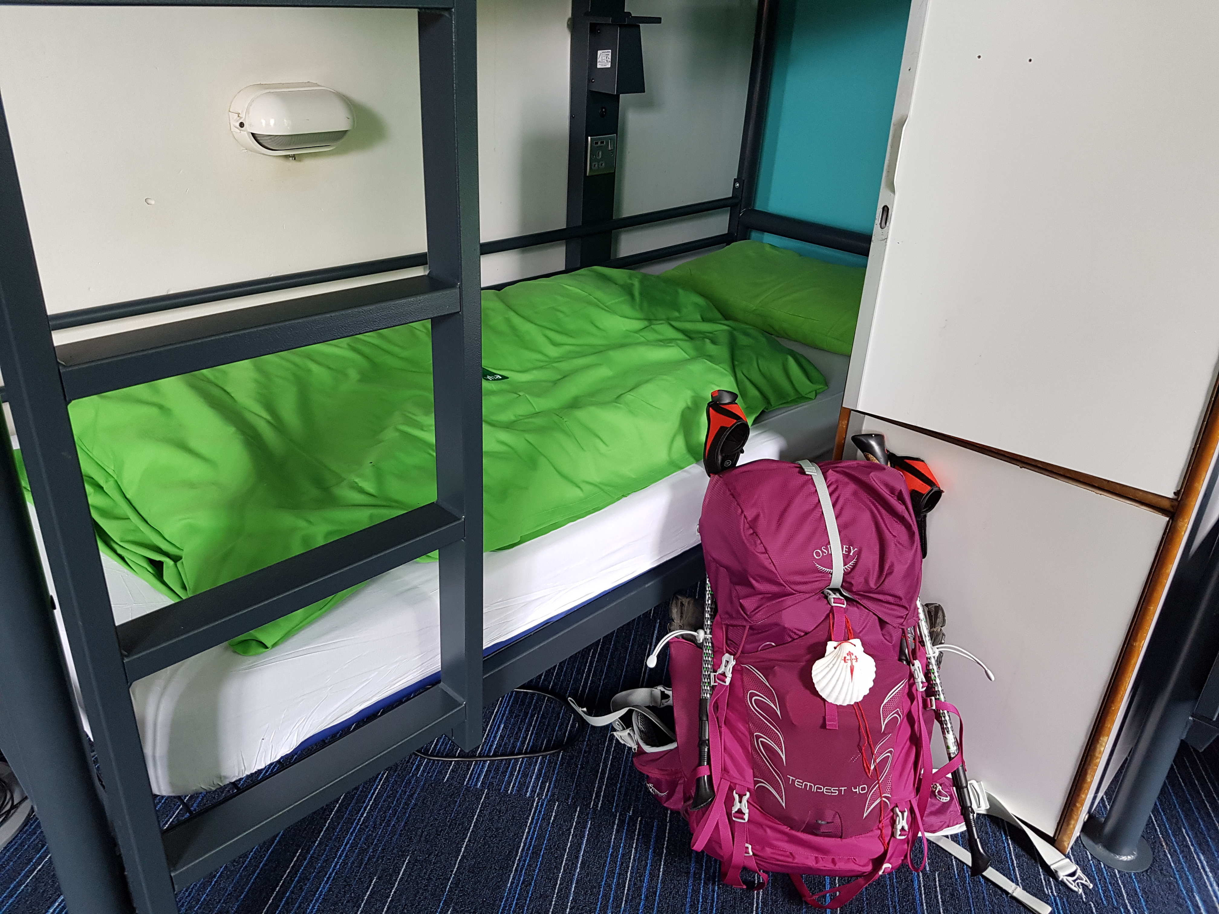
After a few hours of sleep
I walked back along the river upstream to Bermondsey beach to watch the sunset.
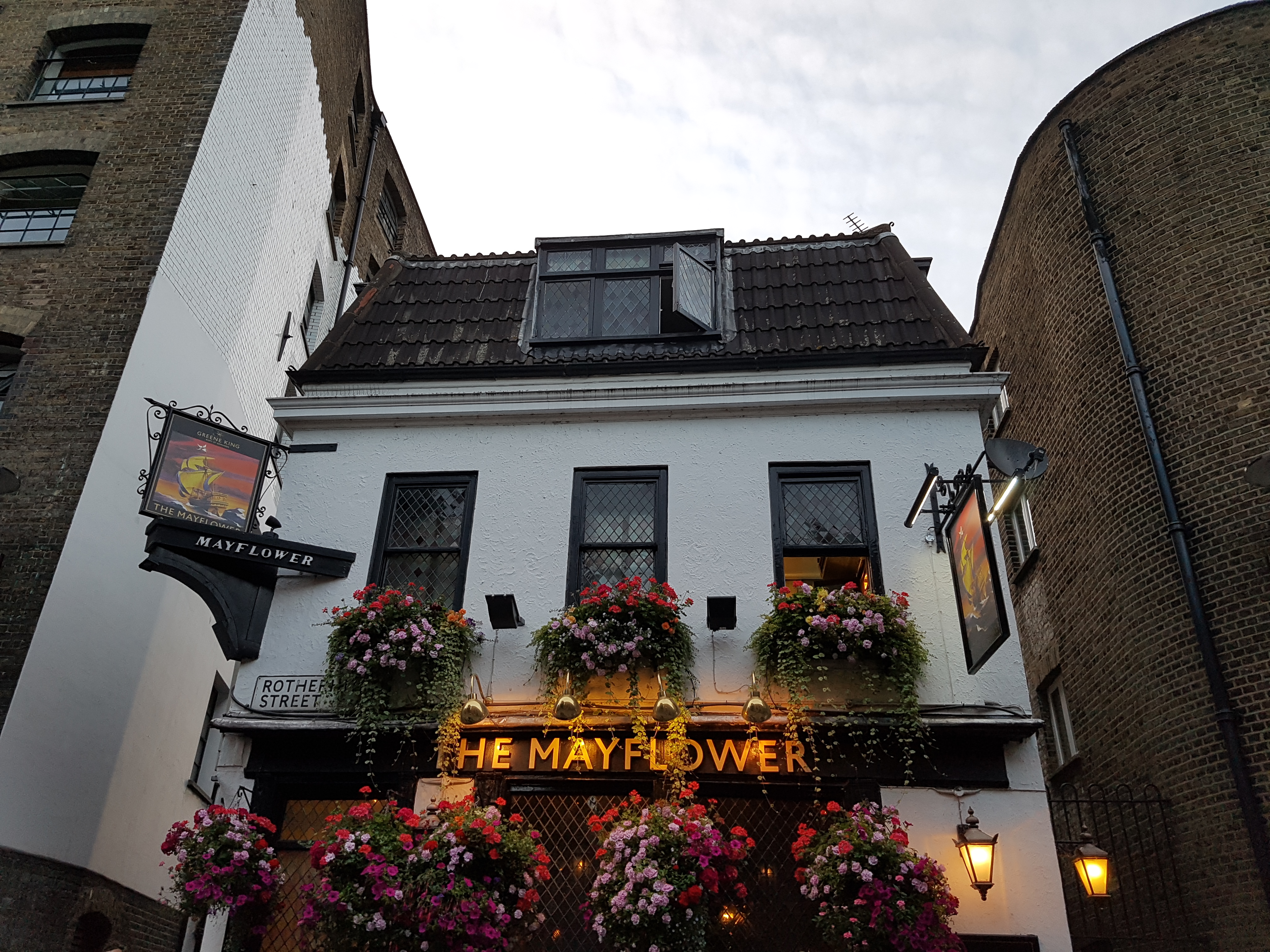
Then heading back downstream to Thameside, the intention was to have supper at The Mayflower Pub but it was so full and too noisy,
so instead I returned to the hostel for tea and hot-cross buns, along the way passing another of my favourite London sculptures; The Sunbeam Weekly and the Pilgrim’s Pocket.
In all a brilliant start to my #Southwark to Canterbury walk #inthefootstepsofChaucer
In case you were wondering, I’ve named my backpack Pepe in honour of my Mom. When I was a wee girl my Mother took me to see a film after my Grandmother’s funeral. In the film was a donkey called Pepe. Since I feel a bit like a donkey with my 7+kg load on my back and I’ll be using ‘shanks pony’ for 60+ miles, I thought the backpack deserved something more dignified than just being referred to as ‘the backpack’ 😉 Yes I know…too much time to think 🤣🤣🤣
Southwark Cathedral, the oldest Gothic Church in London is absolutely fascinating. There’s been a place of worship on this site since AD606 when it was a convent. A fantastic place to start my journey.
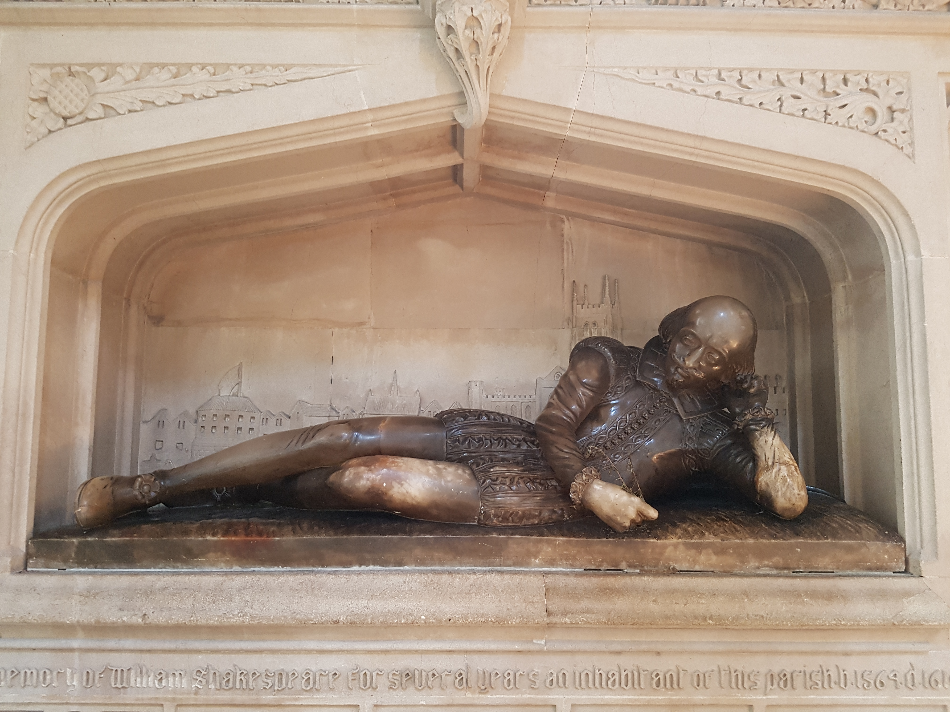
Famous people asdociated with the cathedral include: Chaucer, his friend John Gower, Shakespeare, Fletcher and Dickens amongst others.
Gower’s memorial; John Gower, Poet Laureate to Richard II and Henry IV.
William Shakespeare memorial.
Some of the memorials are very colourful and the stained glass windows are amazing. Definitely worth a visit.
I’ll be posting photos of my journey on instagram @notjustagranny


You must be logged in to post a comment.