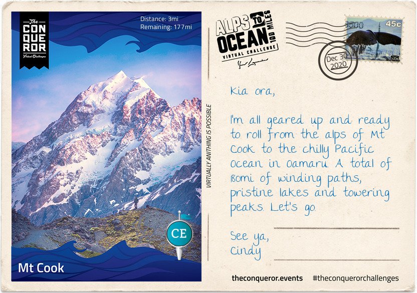
I reached this stage on 19 January, so not too far behind the last stage…either I was walking a lot more, or the distance to this stage was shorter. Of course all I have to do is check the details on the postcard!! In real life, from 1st January to the 19th I’d walked 128km which is just over 80 miles. Not too bad.
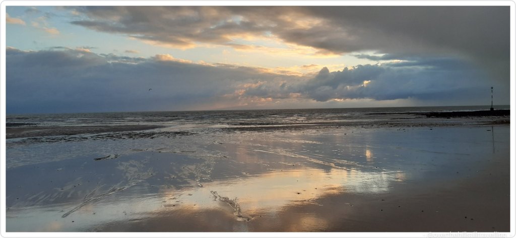
And doesn’t that water look amazing. Reminds me of the sea along the Thanet coastline when the water gets cloudy from the chalk after a storm…
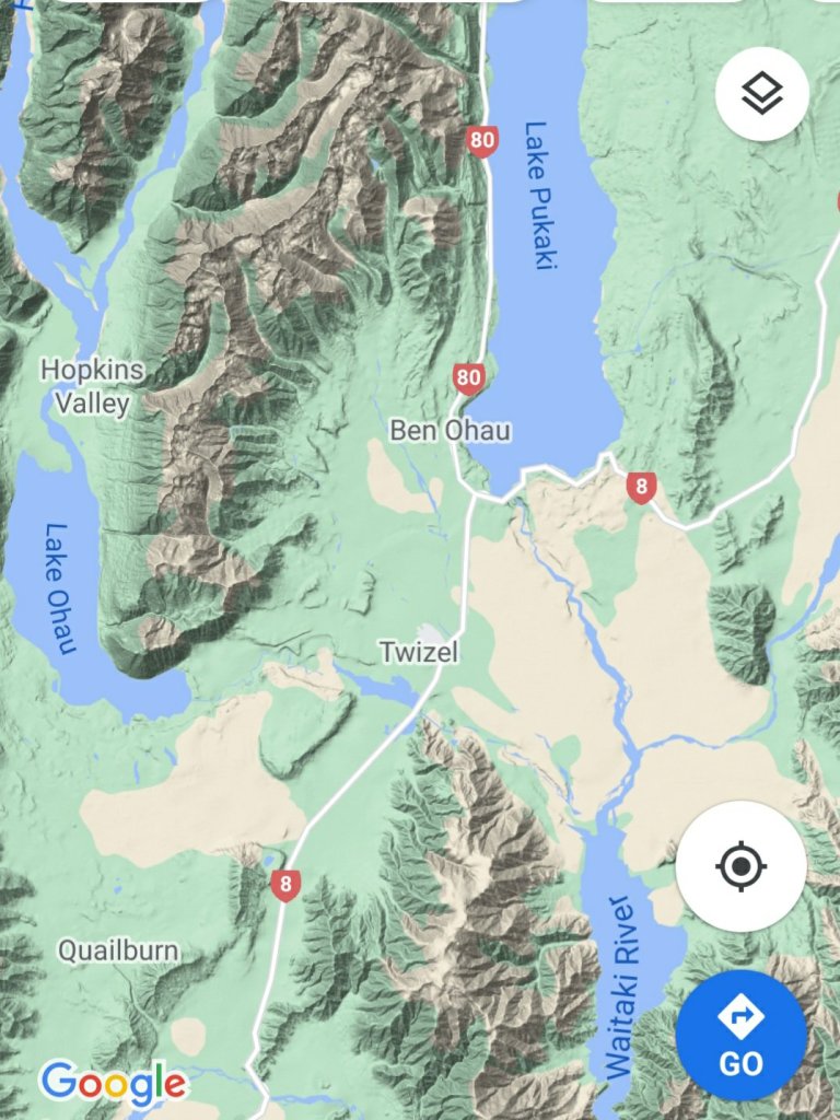
Defined as “a populated area less than a town”, Otematata is more of a holiday town nowadays when it’s small population of around 180 explodes to 5,000 during the summer season. With easy access to both Lake Benmore, downstream Lake Aviemore and nearby hiking trails (known as tramping in NZ), holiday makers swarm to the area for camping, water skiing, boating, fishing, swimming and cycling among other activities.
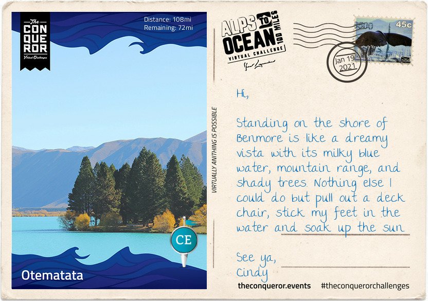
Otematata sprung up in 1958 as a base for construction workers of the Benmore and Aviemore Dams. Within a year the population grew to 450 and at its peak it was as high as 4,000 residents. Built by the Ministry of Works the town had all the necessary facilities and services such as schools, clubs, pub, cinema and mall. The 1,500 strong workforce of engineers, builders, electricians, concreters and truckies spent seven years building the dam. Once the dam was finished, as it often happens with these kind of projects, the town was slowly dismantled. The houses that were trucked into town were years later trucked out and moved to Twizel for the next project. Benmore Dam is the largest earth-filled dam in NZ and the largest of eight in the Waitaki hydro scheme. As the second largest hydro station in the country, Benmore generates sufficient electricity to cover nearly 300,000 NZ homes.
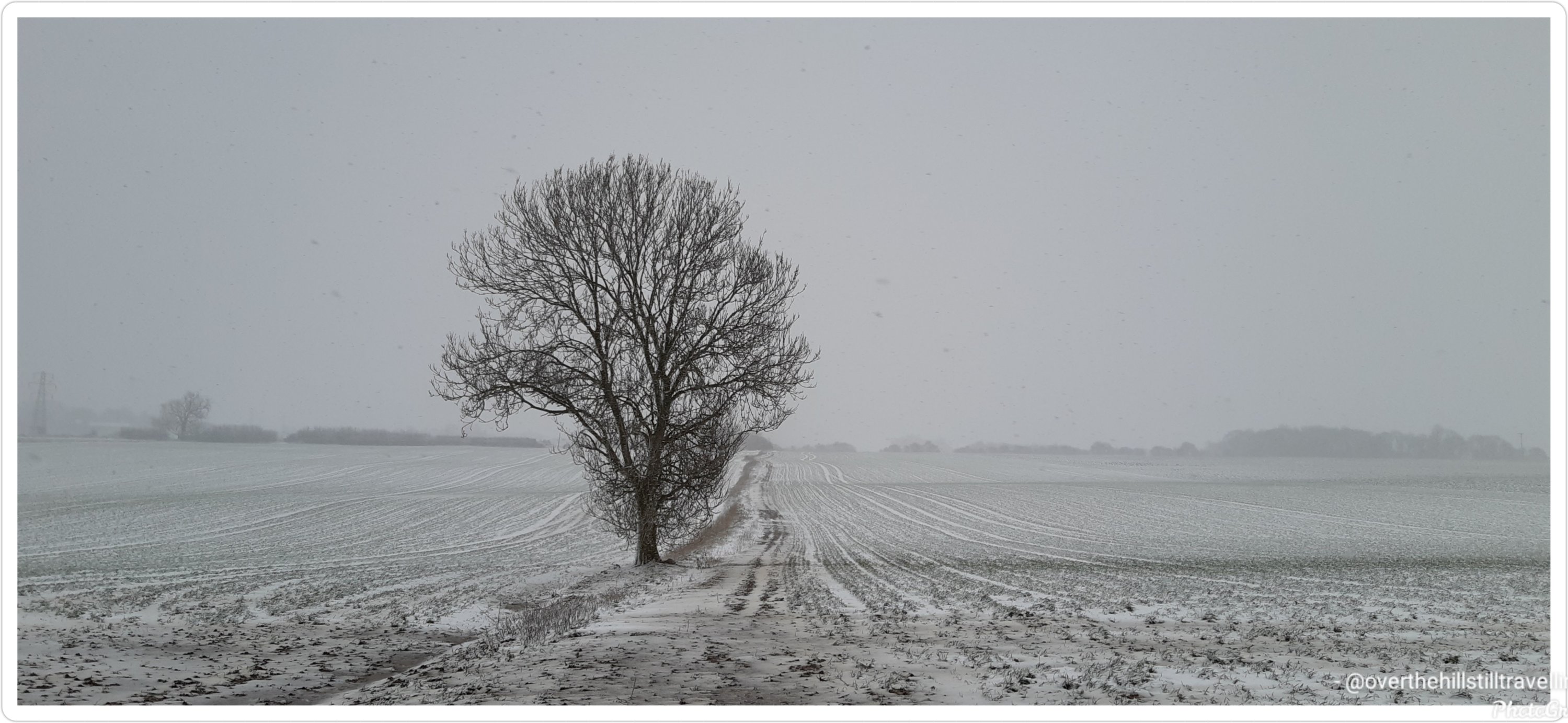
Leaving Otematata, I travelled north on a sealed pathway alongside the Waitaki River until I reached the massive Benmore Dam and stood atop it with a bird’s eye view of the lake to the north and the river to the south. When the lake is over capacity, the floodgates open to release the water down a spillway and to prevent erosion a lip was inserted at the end to deflect the water. The spillway can handle ten times the normal river flow thereby allowing it to cope with severe flooding.
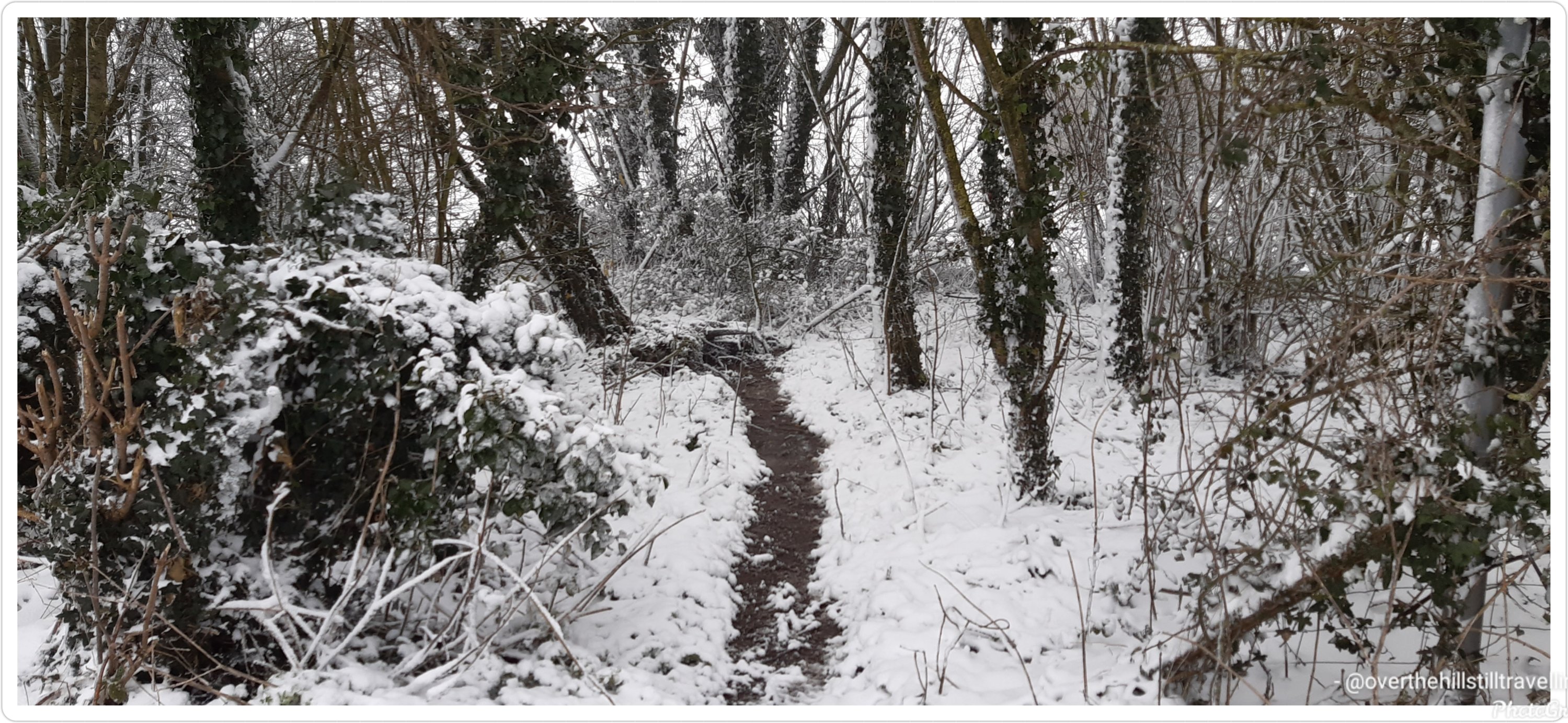
I skirted around the shore on a narrow sealed road to Deep Stream Track on Lake Aviemore for a walk along a flooded canyon. The deep green water was quite inviting for a swim but I settled for a picnic under a shaded tree enjoying the tranquility of this location and the reflection of the hills on the water.
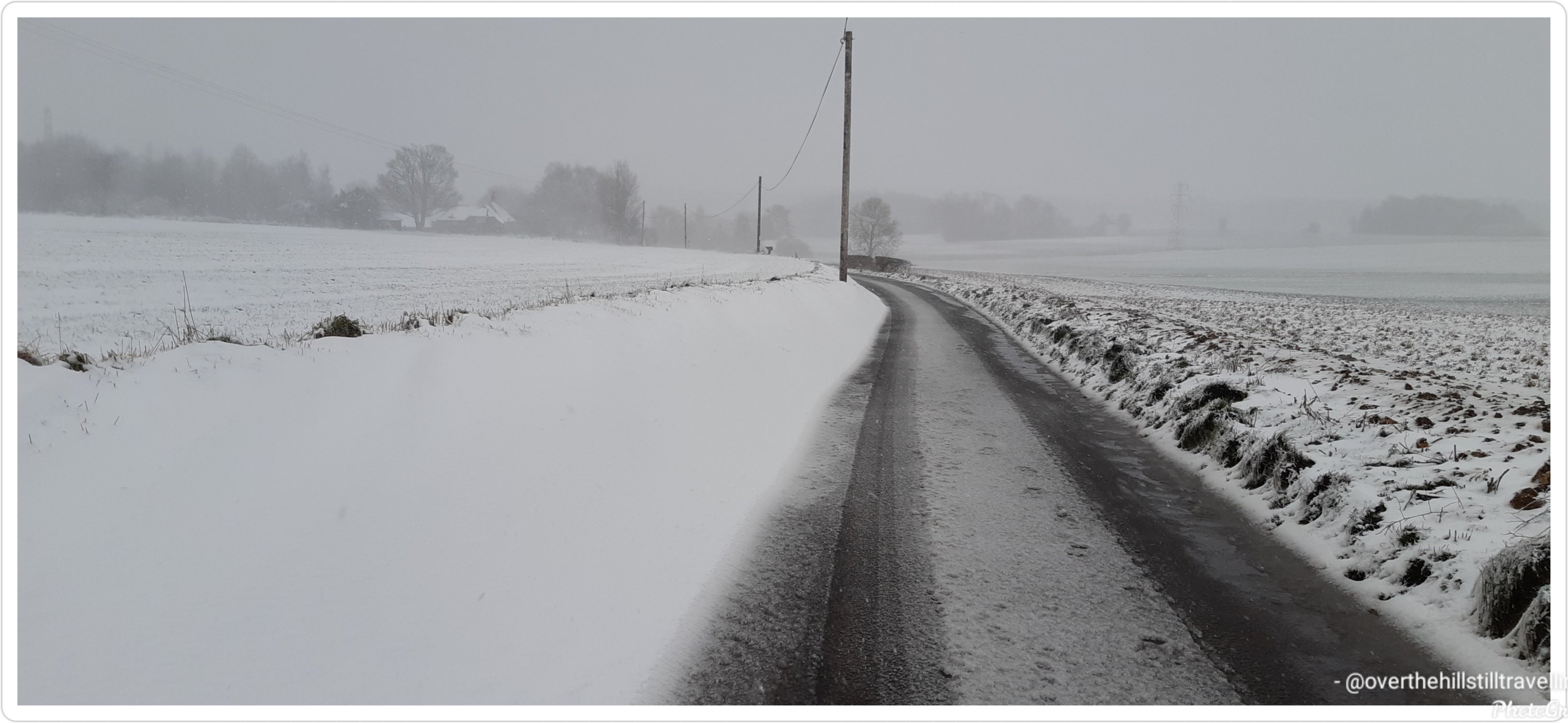
A little further I crossed the Aviemore Dam back onto the State Highway and was relieved to be travelling on an off-road path beside the main road all the way to Waitaki Dam. Aviemore Dam was built in 1968 and the construction was on uneven ground because the Waitangi Fault runs beneath it. Although at the time of construction the fault was considered inactive, in the 2000s the fault was upgraded to dormant and as such the dam was reinforced against earthquakes and potential landslides. Because of the fault the dam is a mixed structure being part solid rock topped with concrete on the north side and earth-fill where the fault line runs beneath on the south side.
The Waitaki Dam is steeped in NZ history. As the smallest in the Waitaki hydro scheme, it is also the oldest having been built in 1935. Being the first dam to be built on the South Island, it was also the last to use pick and shovel. These archaic tools were retained because politicians wanted to reduce the unemployment rate during the Depression Era.
The building of the Waitaki Dam inadvertently played a major role in the birth of the social welfare system. In 1928, the Waitaki Hydro Medical Association together with the Waitaki Hospital Board developed a scheme to deduct monthly fees from wages in order to provide medical and ambulance services to the workers. When two politicians, one a doctor and the other a reverend, took office in 1935, they based the social welfare scheme on the one developed by the dam project.
From here it was a 5mi (8km) journey into Kurow. I heard the Waitaki Valley, which begins in Omarama, is a young winery region with a flair for developing good pinot noir and pinot gris. I’ll be sure to sample some after a hearty meal. I’m thinking fish and chips at the nearest pub.
I could live with fish and chips!! And do my journey continues. Seriously though, reading these emails makes me really really want to walk this route for real….


You must be logged in to post a comment.